The best walks and hikes around gmina Przyrów
4.6
(133)
895
hikers
49
hikes
Hiking around gmina Przyrów is characterized by its location within the Kraków-Częstochowa Upland, featuring distinctive limestone formations and prominent hills, particularly in the southern areas. The region encompasses diverse natural landscapes, including the Parkowe Reserve with its dramatic rock formations and extensive beech forests, and the Stawki Landscape Park, known for various forest types and wetlands. Numerous springs and river backwaters also contribute to the area's varied terrain.
Best hiking trails around gmina Przyrów
- The most popular hiking route is Route through the Park Reserve in Zloty Potok (loop): Eagles' Nests Landscape Park, a 5.3 miles (8.5 km) trail that takes 2 hours 20 minutes to complete. This route explores the Parkowe Reserve, known for its limestone rocks and beech forests.
- Another top favourite among local hikers is Amerykan Pond – Bear Grotto loop from Janów, a moderate 7.0 miles (11.3 km) path. This trail leads through areas featuring limestone formations and the Bear Grotto, often completed in about 3 hours 5 minutes.
- Local hikers also love the Amerykan Pond – Bear Grotto loop from Złoty Potok, a 7.8 miles (12.6 km) trail leading through the scenic Parkowe Reserve, often completed in about 3 hours 28 minutes.
- Hiking around gmina Przyrów is defined by limestone uplands, diverse forests, and scenic valleys. The network offers options for various ability levels, from easy walks to more challenging routes.
- The routes in gmina Przyrów are highly rated by the komoot community with an average score of 4.5 stars from over 90 reviews. More than 650 hikers have used komoot to explore gmina Przyrów's varied terrain.
Last updated: October 7, 2026
4.7
(22)
134
hikers
Moderate hike. Good fitness required. Easily-accessible paths. Suitable for all skill levels.
4.9
(19)
107
hikers
11.2km
03:01
160m
160m
Moderate hike. Good fitness required. Easily-accessible paths. Suitable for all skill levels.

5.0
(2)
30
hikers
7.11km
01:53
70m
70m
Easy hike. Great for any fitness level. Easily-accessible paths. Suitable for all skill levels.
4.8
(4)
10
hikers
12.2km
03:22
210m
210m
Moderate hike. Good fitness required. Easily-accessible paths. Suitable for all skill levels.
13
hikers
20.4km
05:27
230m
230m
Hard hike. Very good fitness required. Easily-accessible paths. Suitable for all skill levels.
Get access to more routes and recommendations from other explorers.
Already have an account?
Our route recommendations are based on thousands of hikes, rides, and runs completed by other people on komoot.
Start today with a free account
Your next adventure awaits.
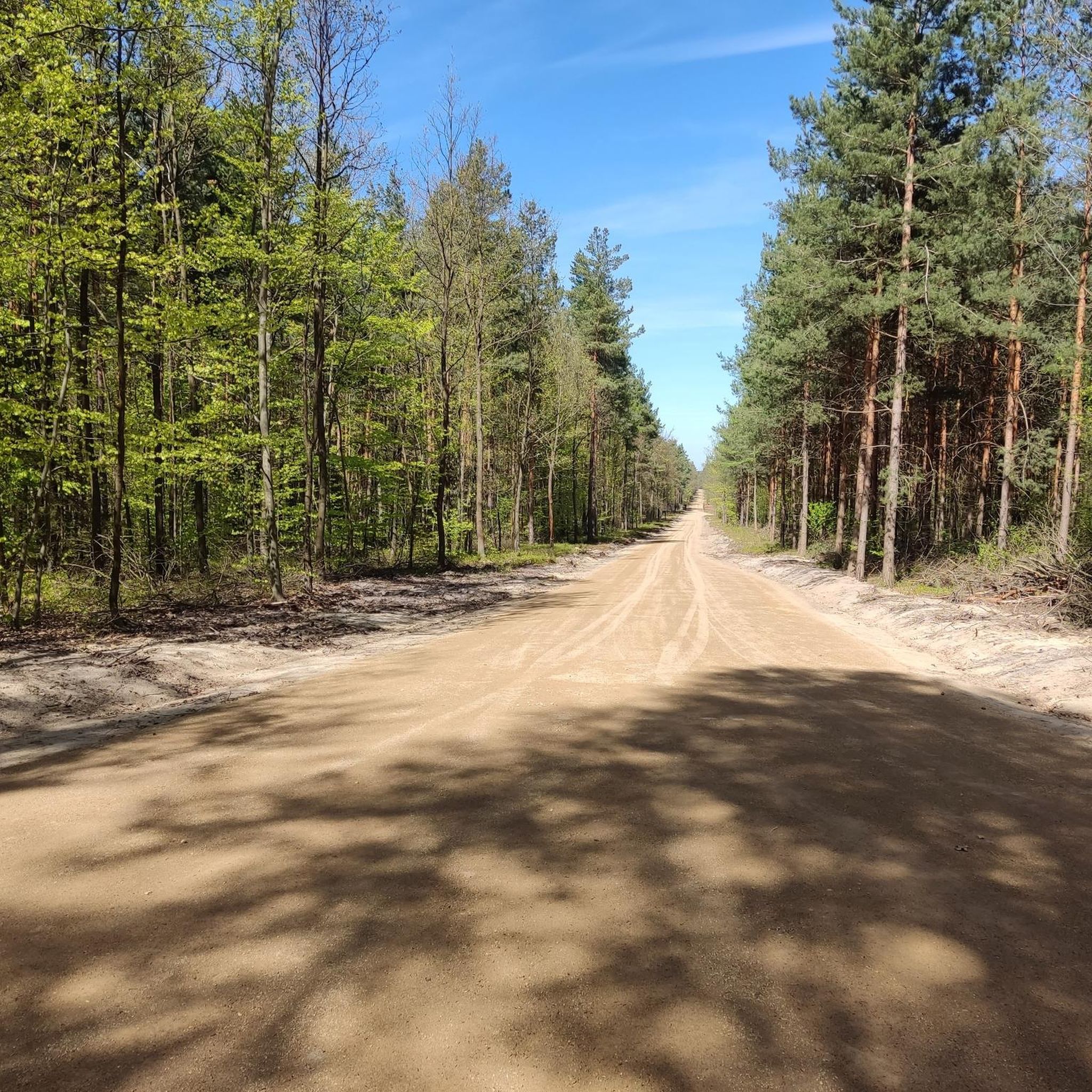
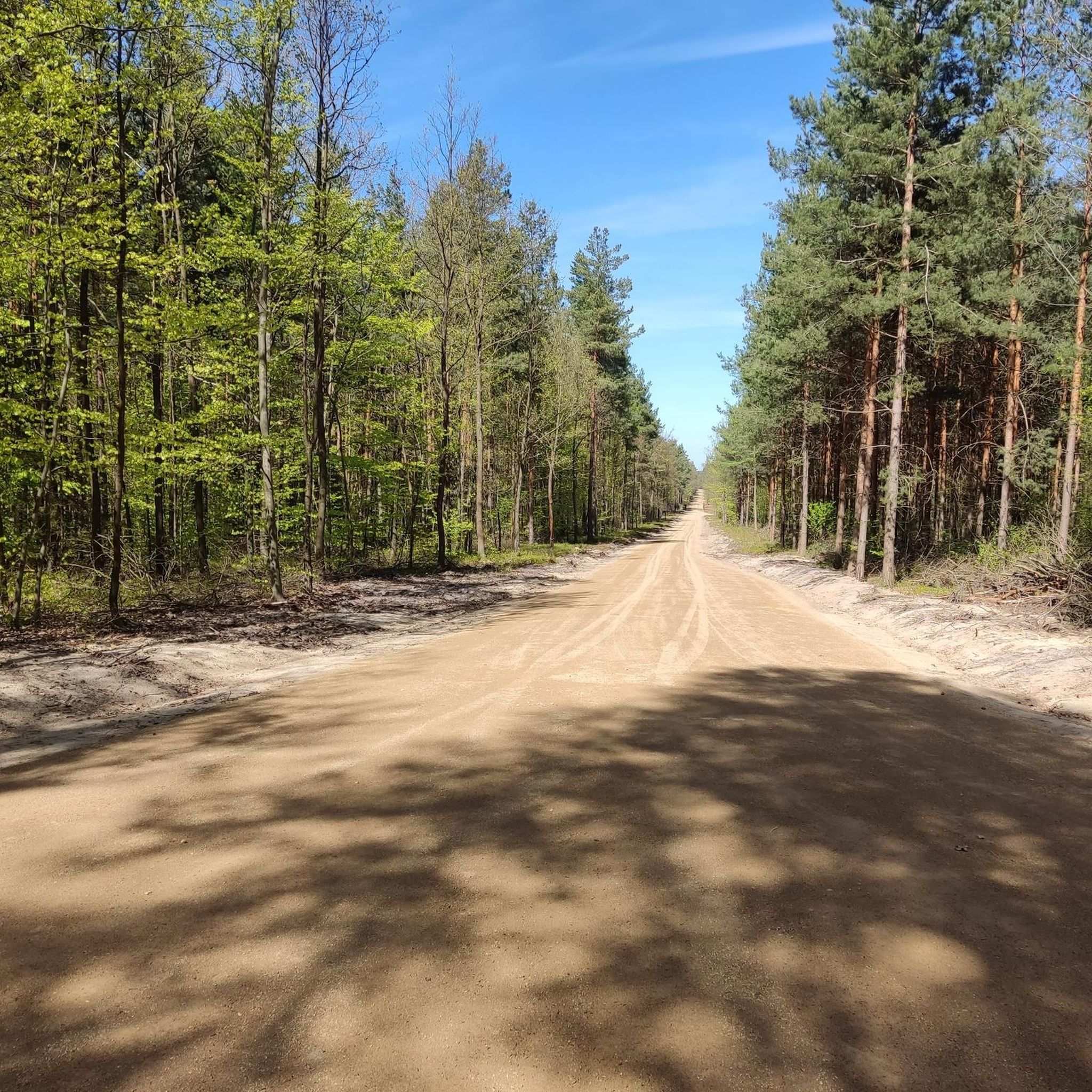
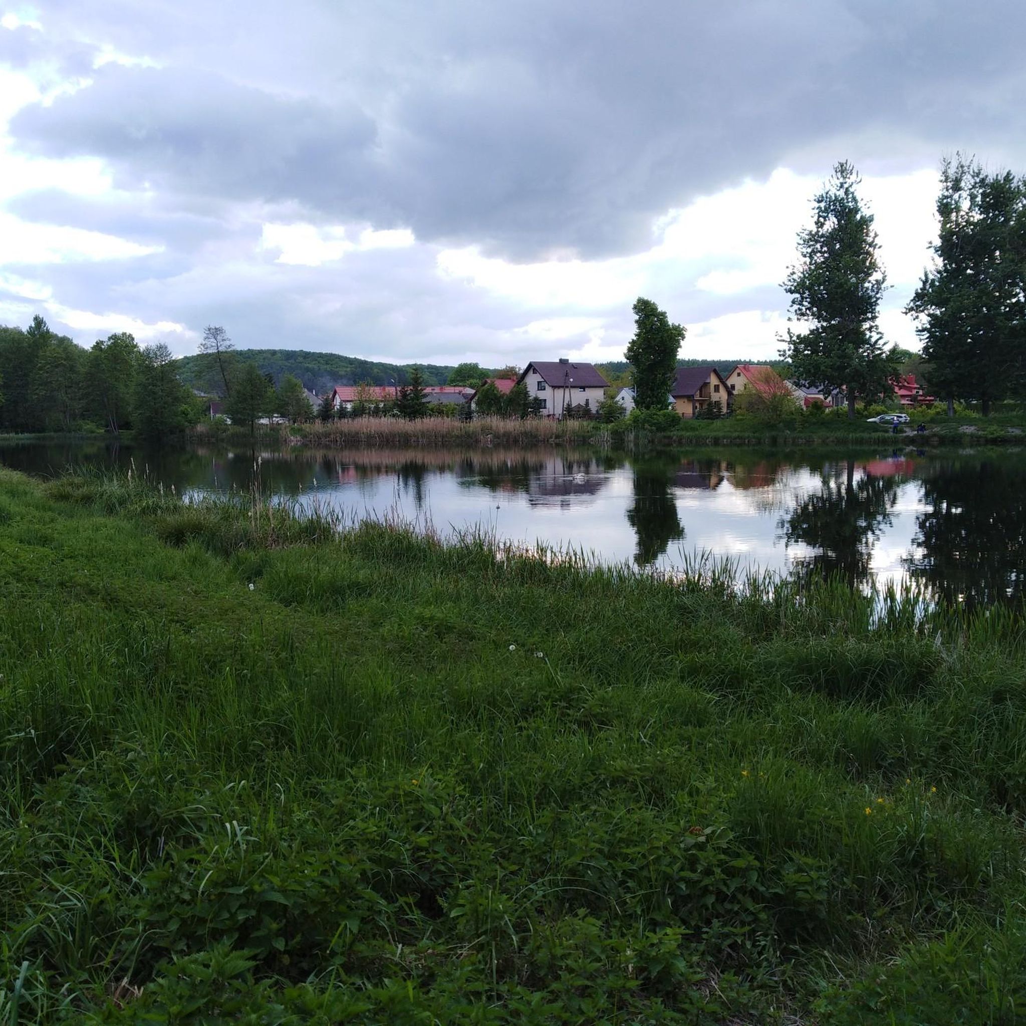
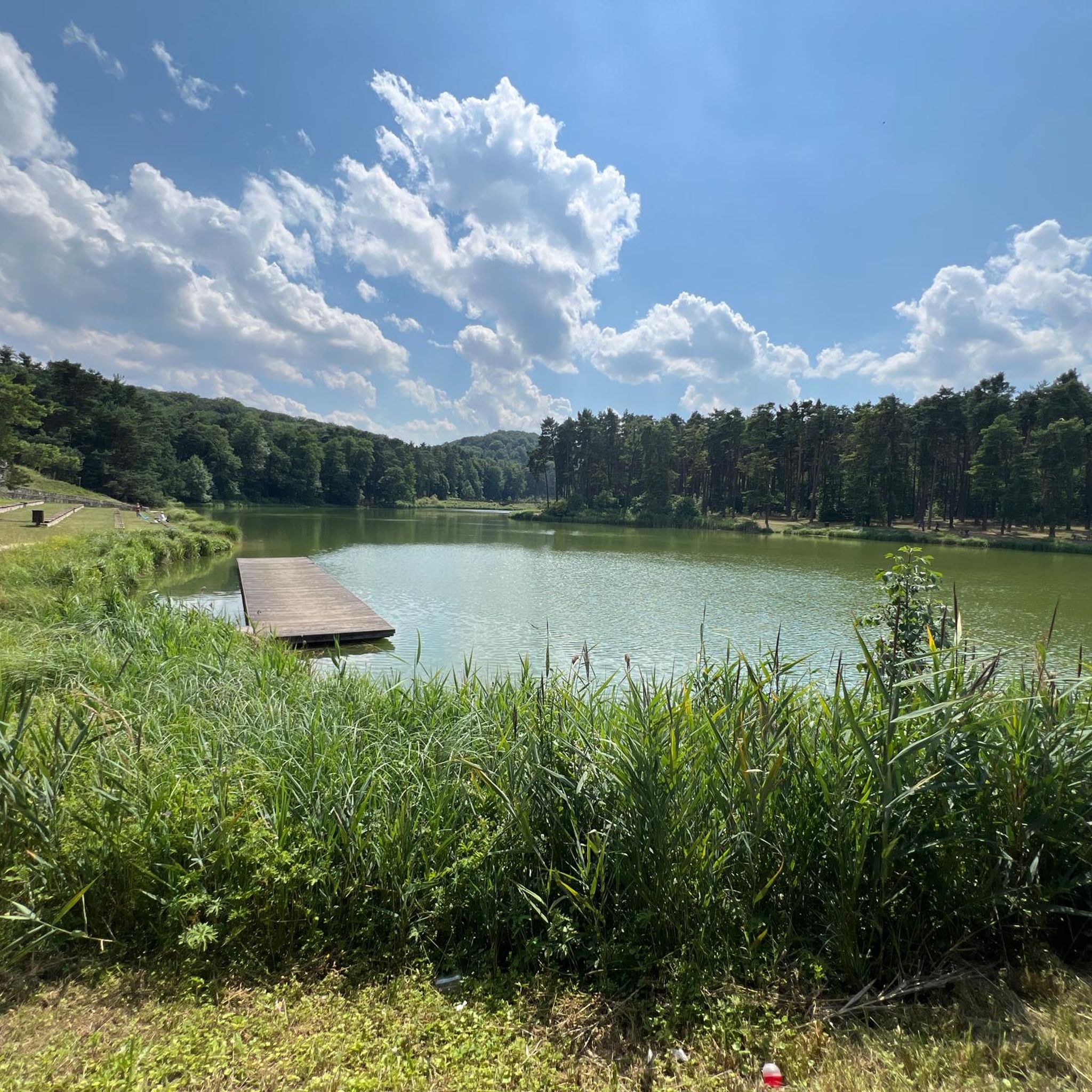

Tips from the Community

Burg Ostrężnik (Polish Zamek Ostrężnik) is a castle ruin near Janów, not far from Częstochowa in the Kraków-Częstochowa Jura. The castle belongs to the Eagle's Nests castles, which secured the border between the Kingdom of Poland and the Holy Roman Empire in the 14th century. It is located in the Silesian Voivodeship, but historically belongs to Lesser Poland. (Wikipedia)
3
0
The Ostrężnik Castle was completely destroyed, and more precise information about it is missing. The castle is located in the forest on a hill and borders a rock, with which it was connected by passages. The mysterious and rather gloomy ruin of the fortress, probably dating from the 14th century, is one of the least known defensive structures of the Kraków-Częstochowa Upland. The outlines of the walls are preserved in very poor condition. The layout of the castle, divided into upper, lower, and outer bailey, is also barely recognizable today.
3
0

Ostrężnik Castle is a mysterious ruin hidden in the forest near the village of Siedlec, on a limestone hill 380 m above sea level. Although little is known about its history, it is believed that it was built in the early 14th century and may never have been completed. Fragments of walls, ramparts and the outline of the former castle grounds have survived to this day. Right next to it is the Ostrężnicka Cave, which is often visited by speleologists. The place is shrouded in legends of robber knights and insurgent treasures. A forest path leads to the ruins - an MTB or trekking bike with good grip will be the best.
3
0

Great surroundings, good food, lots of attractions for kids in season.
2
0

This is the cave in Ostreznik (Jaskinia Ostrężnicka): The cave has six entrances and is 98 meters long.
1
0
This modest monument embedded in a limestone rock commemorates the place where on September 3, 1939, Major Wrzosek, commander of the 7th Infantry Division of the Kraków Army, fell during defensive battles against the German invader. Major Wrzosek was also the head of the Polish Olympic team at the Berlin Games in 1936 and the Polish champion in sports rifle shooting. His grave is located in the cemetery in Złoty Potok, at the foot of Wilcza Góra, among the soldiers who defended their homeland with him.
1
0
Bear's Grotto is a cave located in the Park Reserve, near Złoty Potok in the Kraków-Częstochowa Upland. It is about 70 meters long and consists of a large chamber with three corridors leading off. The cave was created as a result of karst processes, i.e. the dissolution of limestone by water. In the past, it served as a shelter for primeval people, and during archaeological research, bones of a mammoth, woolly rhinoceros and a cave bear were discovered there. The cave is open to tourists; it is worth taking a flashlight with you to be able to explore its interior more thoroughly. There are hiking trails nearby, including the red Trail of the Eagles' Nests and a nature trail, which make it easier to reach this interesting place.
1
0
The Parkowe Reserve, located near Złoty Potok in the Kraków-Częstochowa Upland, is a picturesque protected area covering over 150 ha. It is characterized by limestone rocks, vast beech forests and charming valleys. The main attraction is the Wiercica Valley with unique rock formations such as the Twardowski Gate. The reserve also includes the Zygmunt and Elżbieta springs and the historic ruins of a mill. It is an ideal place for hiking in the natural surroundings.
0
0
Frequently Asked Questions
How many hiking trails are available in gmina Przyrów?
There are over 30 hiking routes available in gmina Przyrów, catering to various preferences and fitness levels. These include 17 easy trails, 13 moderate routes, and 2 more challenging options.
What kind of terrain can I expect on hikes in gmina Przyrów?
The terrain in gmina Przyrów is diverse, characterized by its location within the Kraków-Częstochowa Upland. You'll encounter distinctive limestone formations, prominent hills, and extensive beech forests, particularly within the Parkowe Nature Reserve. The area also features scenic valleys, numerous springs, and river backwaters, offering a varied hiking experience.
Are there any family-friendly hiking trails in gmina Przyrów?
Yes, gmina Przyrów offers several easily accessible paths suitable for families. The region's diverse landscapes, including the Parkowe Nature Reserve, provide gentle routes that allow families to enjoy nature without requiring advanced fitness. Many trails are described as suitable for all skill levels.
What natural landmarks or attractions can I see while hiking in gmina Przyrów?
Hiking in gmina Przyrów offers access to several notable natural landmarks. You can explore the striking limestone rocks and beech forests of the Parkowe Nature Reserve, discover unique rock formations like the Twardowski Gate, and visit the Devil's Bridges. The Bear Grotto and Ostrężnicka Cave are also popular spots for exploration.
Are there any circular hiking routes in gmina Przyrów?
Yes, gmina Przyrów features several excellent circular routes. A popular option is the Route through the Park Reserve in Zloty Potok (loop): Eagles' Nests Landscape Park, which is 5.3 miles (8.5 km) long. Another well-regarded loop is the Devil's Bridges – Amerykan Pond loop from Janów, covering 7.8 miles (7.8 km).
What do other hikers enjoy most about the trails in gmina Przyrów?
The komoot community highly rates the trails in gmina Przyrów, with an average score of 4.5 stars from over 90 reviews. Hikers often praise the diverse natural landscapes, the dramatic rock formations, and the well-preserved forests, noting the variety of routes suitable for different abilities.
Can I bring my dog on the hiking trails in gmina Przyrów?
While specific regulations for dogs on every trail may vary, the natural environment of gmina Przyrów, with its extensive forests and open spaces, generally welcomes dogs. It's always advisable to keep your dog on a leash, especially in protected areas like the Parkowe Nature Reserve, and to clean up after them.
Are there any challenging hikes for experienced trekkers?
Yes, for those seeking a greater challenge, gmina Przyrów offers routes that require good to very good fitness. An example is the Amerykan Pond – Bear Grotto loop from gmina Janów, which is a difficult 12.7 miles (20.5 km) trail with significant elevation changes.
Where can I find parking for trailheads in gmina Przyrów?
Parking is generally available near popular trailheads and attractions within gmina Przyrów, especially in areas like Złoty Potok and Janów, which serve as common starting points for many routes. Specific parking information can often be found on local signage or detailed route descriptions.
What is the best time of year to go hiking in gmina Przyrów?
Gmina Przyrów is beautiful throughout the year, but spring and autumn offer particularly pleasant hiking conditions. In spring, the forests are lush and green, while autumn brings vibrant colors to the beech trees. Summer is also popular, though it can be warmer. Winter hiking is possible, but some paths might be covered in snow or ice, requiring appropriate gear.
Are there any historical sites to explore near the hiking trails?
Beyond natural wonders, you can explore historical sites like the mysterious 14th-century ruins of Ostrężnik Castle, hidden within the forest and accessible via a forest path. The area also features the Raczyński Palace and the historic St. Giles' Wooden Church in Zrębice, offering cultural points of interest alongside your hikes.
Most popular attractions around gmina Przyrów

Get inspired with the komoot mobile app


Explore more
Browse the best Hikes in other regions.
