The best mountain hikes around Łodygowice
4.7
(183)
1,073
hikers
46
hikes
Mountaineering around Łodygowice offers access to the Silesian Beskids and Beskid Mały mountain ranges in Poland's Silesian Voivodeship. The region is characterized by a diverse landscape of peaks, including Skrzyczne (1,257 m) and Czupel (933 m), and an extensive network of trails. These routes traverse varied terrain, from dense woodlands to open mountain ridges, providing panoramic views of the Żywiec Beskids and surrounding lowlands.
Best mountaineering routes around Łodygowice
- The most popular mountaineering route is Rogacz Summit – Czupel 931…
Last updated: August 11, 2026
4.6
(8)
30
hikers
12.5km
04:19
650m
650m
Moderate mountaineering route. Good fitness required. Easily-accessible paths. Suitable for all skill levels.
5.0
(4)
19
hikers
14.7km
04:53
640m
650m
Moderate mountaineering route. Good fitness required. Easily-accessible paths. Suitable for all skill levels.

Sign up for free
5.0
(1)
12
hikers
6.91km
02:29
430m
430m
Moderate mountaineering route. Good fitness required. Easily-accessible paths. Suitable for all skill levels.
4.5
(4)
15
hikers
14.1km
04:28
570m
570m
Moderate mountaineering route. Good fitness required. Easily-accessible paths. Suitable for all skill levels.
5.0
(1)
10
hikers
12.8km
04:09
540m
540m
Moderate mountaineering route. Good fitness required. Easily-accessible paths. Suitable for all skill levels.
Get access to more routes and recommendations from other explorers.
Sign up for free
Already have an account?
Our route recommendations are based on thousands of hikes, rides, and runs completed by other people on komoot.
Start today with a free account
Your next adventure awaits.
Login or Signup

Tips from the Community

Mandatory place to rest and replenish drinks. You can get hot meals and cold drinks.
0
0


the views from Magurka are breathtaking
0
0

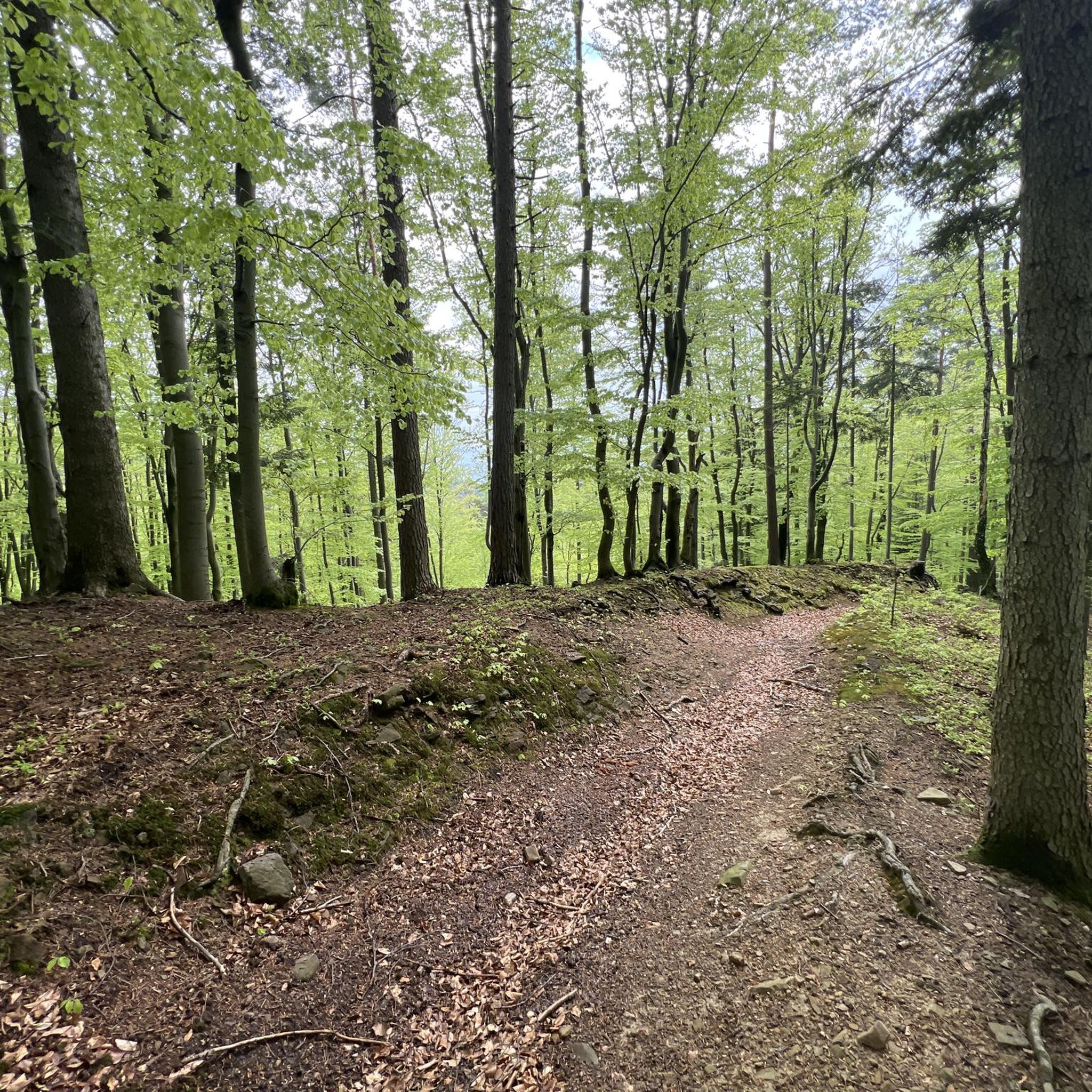
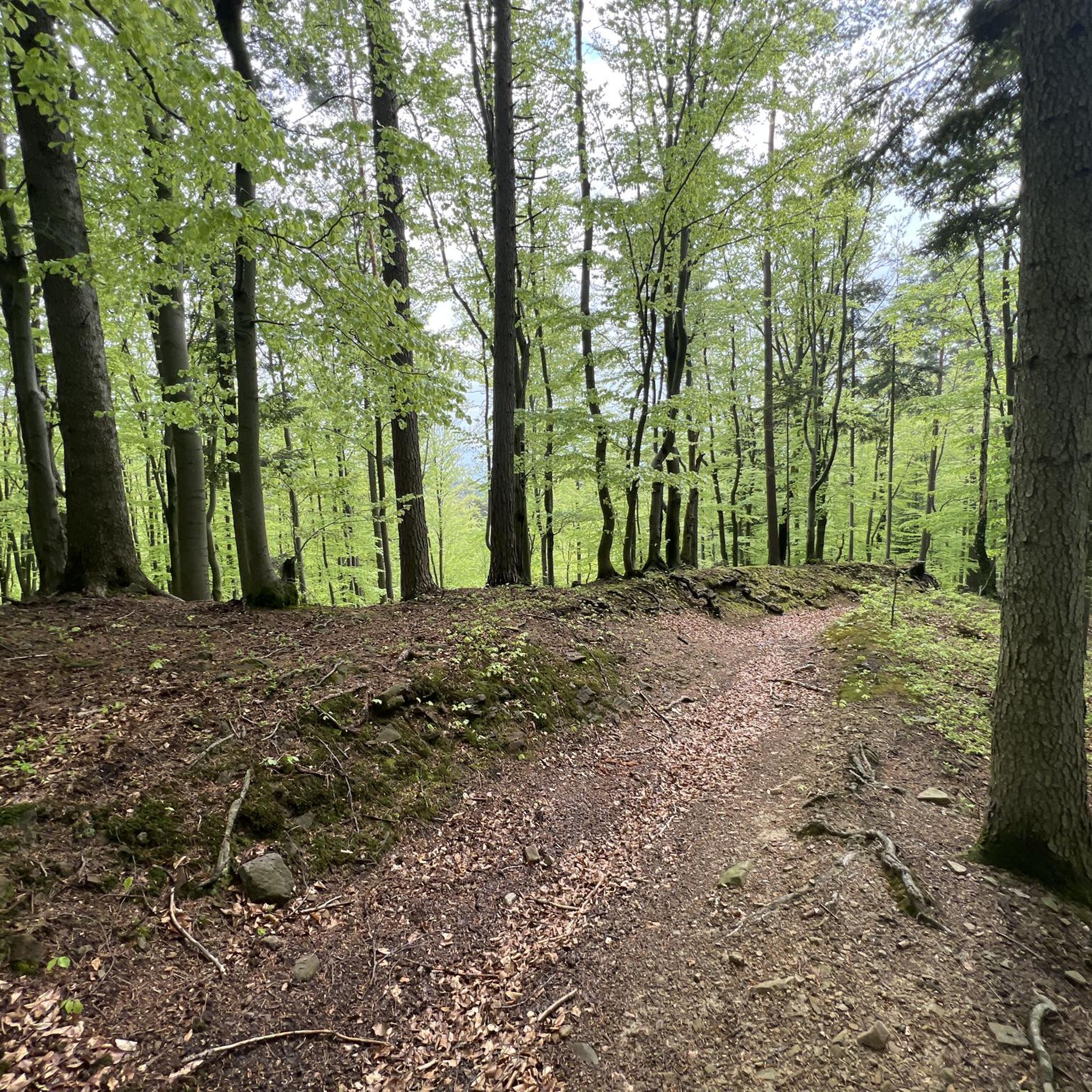
the path is trodden, you will find it easily
0
0

There are no signs on the trail! It can be found most easily using navigation (offline).
0
0

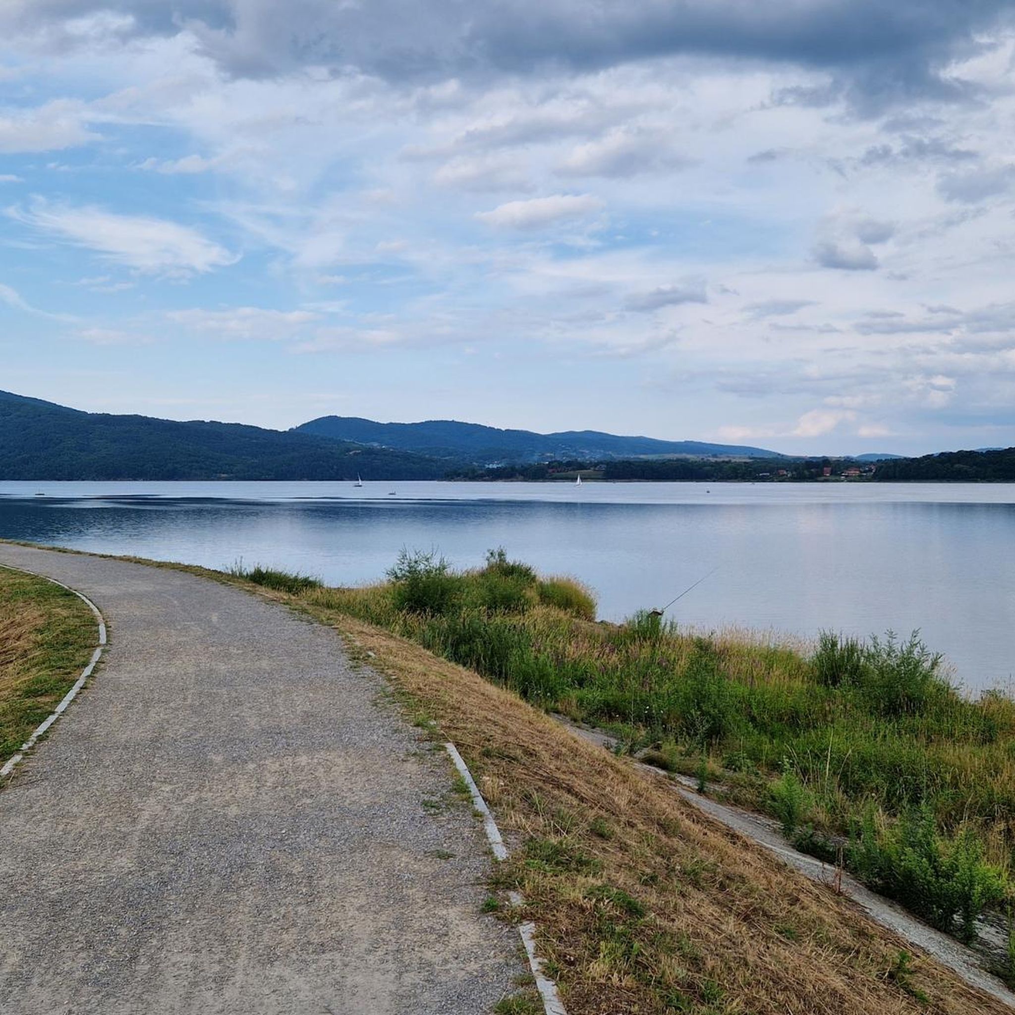
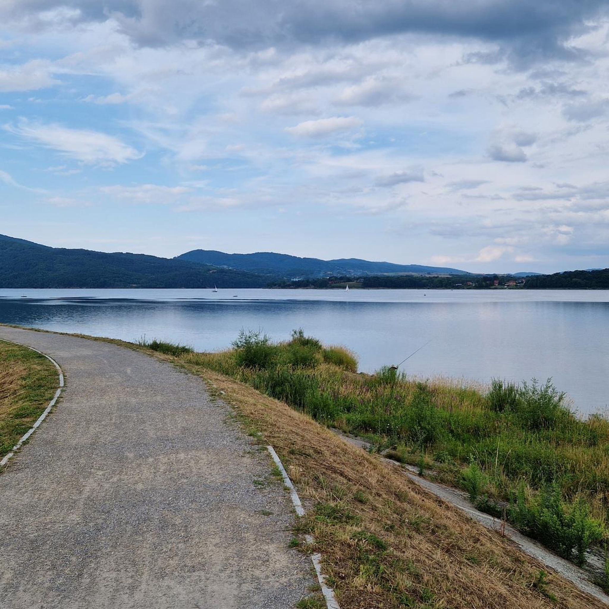
This view will blow you away - not far from Rogacz Mountain, here from this path there is a brilliant view of Lake Międzybrodzkie below through the green hills. You can also see, of course, Międzybrodzie Białe and the surrounding towns below, and the panorama of the hills and mountains is fantastic.
0
0
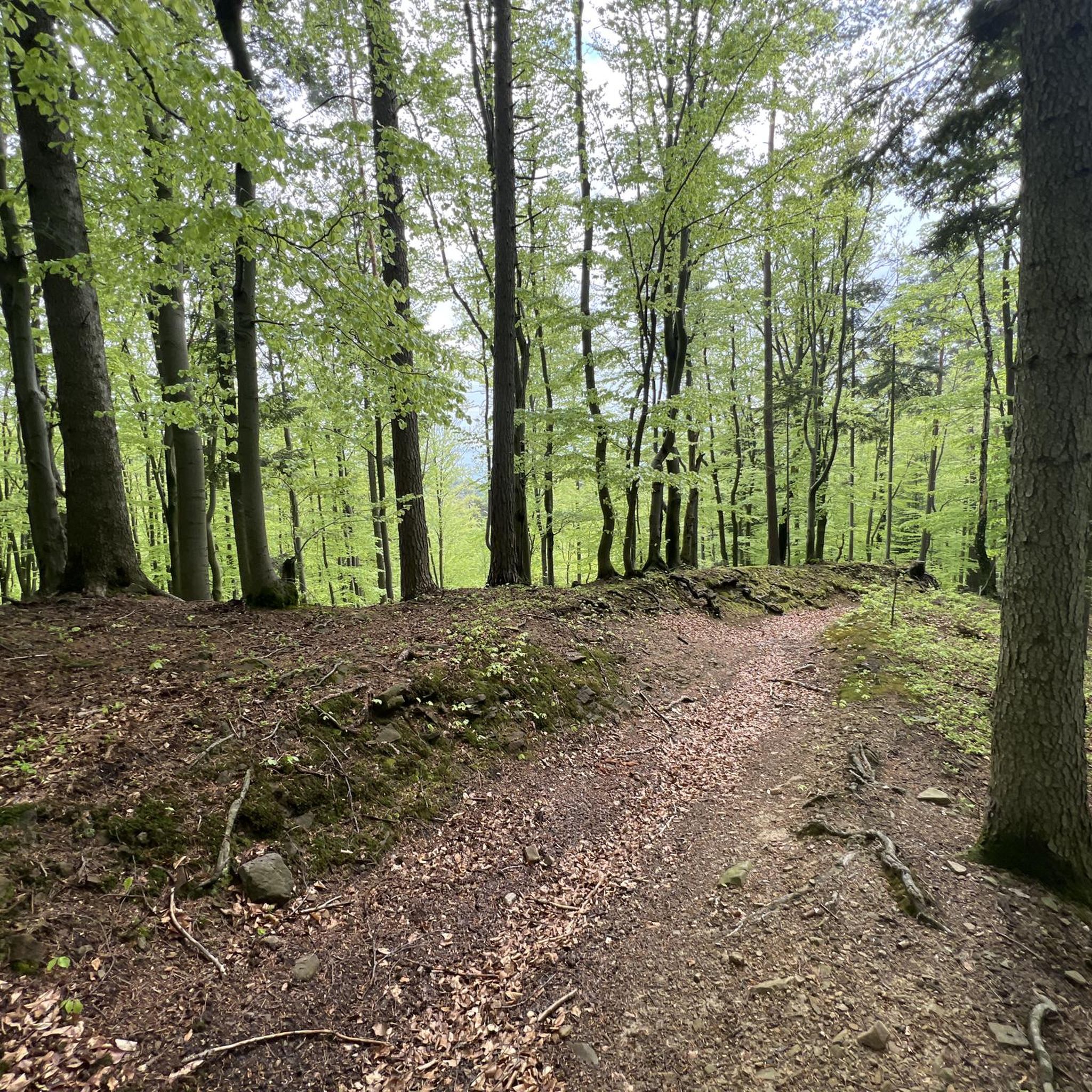
Beautiful view from the glade, just after leaving Turystyczna Street in Czernichów. Beautiful green mountain views, before - presumably - you start climbing Czupel.
0
0
It is the highest peak of the Beskid Mały, at 931m. Although the entire Czupel ridge is covered with forest, there will be views, especially of Góra Żar, with the power plant building at the top, but not from the very top, only a few dozen meters from it.
0
0
Frequently Asked Questions
How many mountaineering routes are available around Łodygowice?
There are over 50 mountaineering routes around Łodygowice, offering a wide range of options for exploring the Silesian Beskids and Beskid Mały mountain ranges.
What is the typical difficulty level of mountaineering routes in the Łodygowice area?
The routes around Łodygowice cater to various skill levels. You'll find a good mix of moderate and difficult trails. For instance, the Rogacz Summit – Czupel 931 m a.s.l. loop from Czernichów is a moderate option, while the Czupel (933 m) – Czupel Peak (933 m) loop from Park Krajobrazowy Beskidu Małego presents a more challenging ascent.
Are there any family-friendly mountaineering routes near Łodygowice?
While many mountaineering routes in the region are geared towards more experienced hikers, some moderate trails can be suitable for families with older children. It's always best to check the specific route details for distance, elevation, and terrain to ensure it matches your family's capabilities. The Cross on Chrobacza Łąka loop from Park Krajobrazowy Beskidu Małego is a moderate option that might be suitable.
What are some notable peaks or viewpoints I can reach on a mountaineering trip from Łodygowice?
Łodygowice offers access to several significant peaks. You can ascend to Skrzyczne Peak (1,257 m), the highest point in the Silesian Beskids, which provides expansive views. Another popular destination is Czupel Peak (933 m), accessible via several routes. For panoramic views of the surrounding mountains and lowlands, consider Góra Żar (765 m) in the Beskid Mały.
Are there any circular mountaineering routes around Łodygowice?
Yes, many mountaineering routes in the area are designed as loops, allowing you to start and end at the same point. Examples include the Skrzyczne Summit – Skrzyczne Peak (1,257 m) loop from gmina Buczkowice and the Czupel (933 m) – Czupel Peak (933 m) loop from gmina Czernichów.
What is the best time of year for mountaineering in Łodygowice?
The region is beautiful year-round, but the best time for mountaineering generally depends on your preference for conditions. Spring and autumn offer pleasant temperatures and vibrant scenery, while summer provides warmer weather for longer days on the trails. Winter mountaineering is possible but requires appropriate gear and experience due to snow and ice conditions.
Are there any mountain shelters or huts along the routes for rest and meals?
Yes, the region benefits from the presence of PTTK mountain huts. For instance, the Klimczok Mountain Hut (PTTK Klimczok Shelter) is a notable stop that provides amenities for hikers, and there's also a PTTK shelter at the summit of Skrzyczne Peak.
What do other mountaineers enjoy most about the routes around Łodygowice?
The mountaineering routes around Łodygowice are highly rated by the komoot community, with an average score of 4.7 stars. Reviewers often praise the diverse landscape, from dense woodlands to open mountain ridges, and the panoramic views of the Żywiec Beskids and surrounding lowlands. The well-developed network of trails and the presence of mountain shelters are also frequently highlighted.
Can I bring my dog on the mountaineering trails near Łodygowice?
Many trails in the Beskids are generally dog-friendly, but it's always recommended to check local regulations for specific routes or protected areas. Ensure your dog is well-behaved, on a leash, and that you carry waste bags. Some trails might have challenging terrain or sections that are not suitable for all dogs.
Are there any historical or cultural attractions near the mountaineering routes?
While the focus is on natural beauty, the region does have historical elements. Łodygowice itself is situated within the Żywiec Basin, an area with history dating back to the 13th century. You can also visit nearby castles such as Łodygowice Palace or Sulkowski Castle, which offer a glimpse into the area's past.
What kind of natural monuments or unique geological features can I expect to see?
The area around Łodygowice features interesting natural formations. A notable example is the picturesque former sandstone Quarry in Kozy, located in the Beskid Mały Mountains. It captivates visitors with its steep, rocky walls and offers a viewpoint overlooking the Oświęcim Basin and Bielsko-Biała.
Is public transport available to access the trailheads around Łodygowice?
Łodygowice is a well-known village, and public transport options like buses may connect it to nearby towns and some trailheads. However, for direct access to specific mountain trail starting points, it's advisable to research local bus schedules or consider driving, as some trailheads might be more remote.
Are there parking facilities available at the trailheads?
Many popular trailheads in the Beskids, especially those leading to significant peaks or tourist attractions, typically have designated parking areas. It's common to find both free and paid parking options. We recommend checking specific trailhead information or local maps for details on parking availability before your trip.
Most popular routes around Łodygowice
Most popular attractions around Łodygowice

Get inspired with the komoot mobile app


Explore more
Browse the best Mountain Hikes & Routes in other regions.
