The best walks and hikes around Dywity
4.8
(267)
4,184
hikers
297
hikes
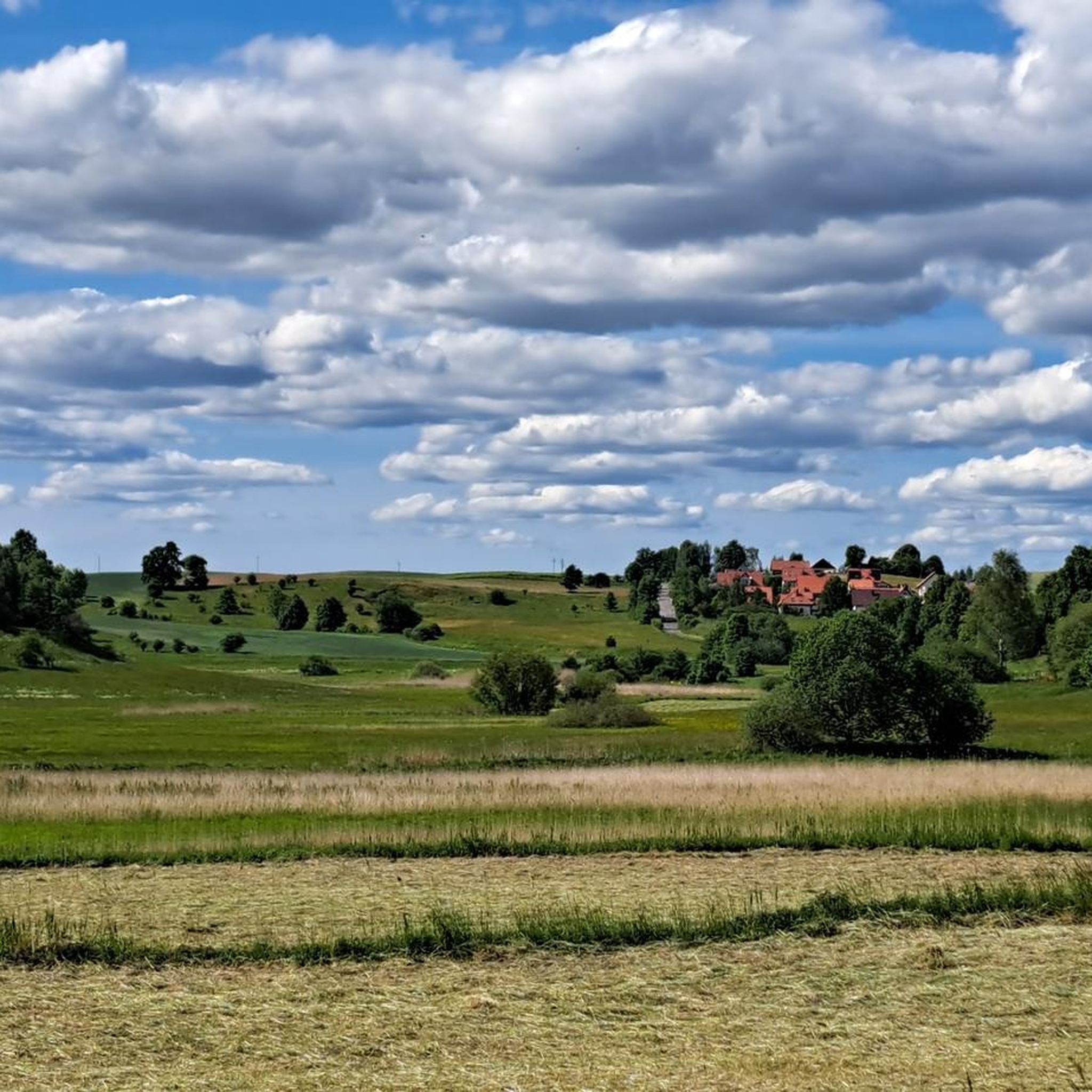
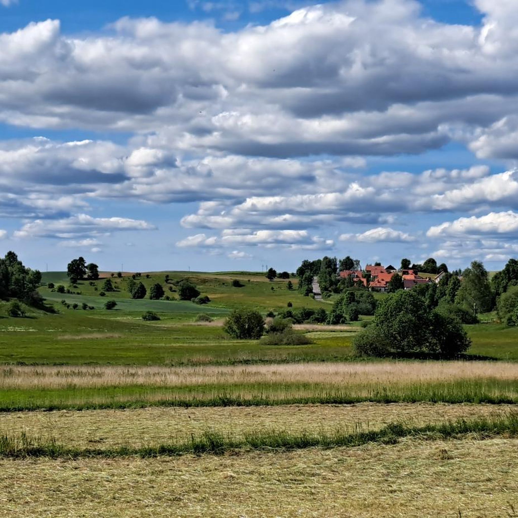
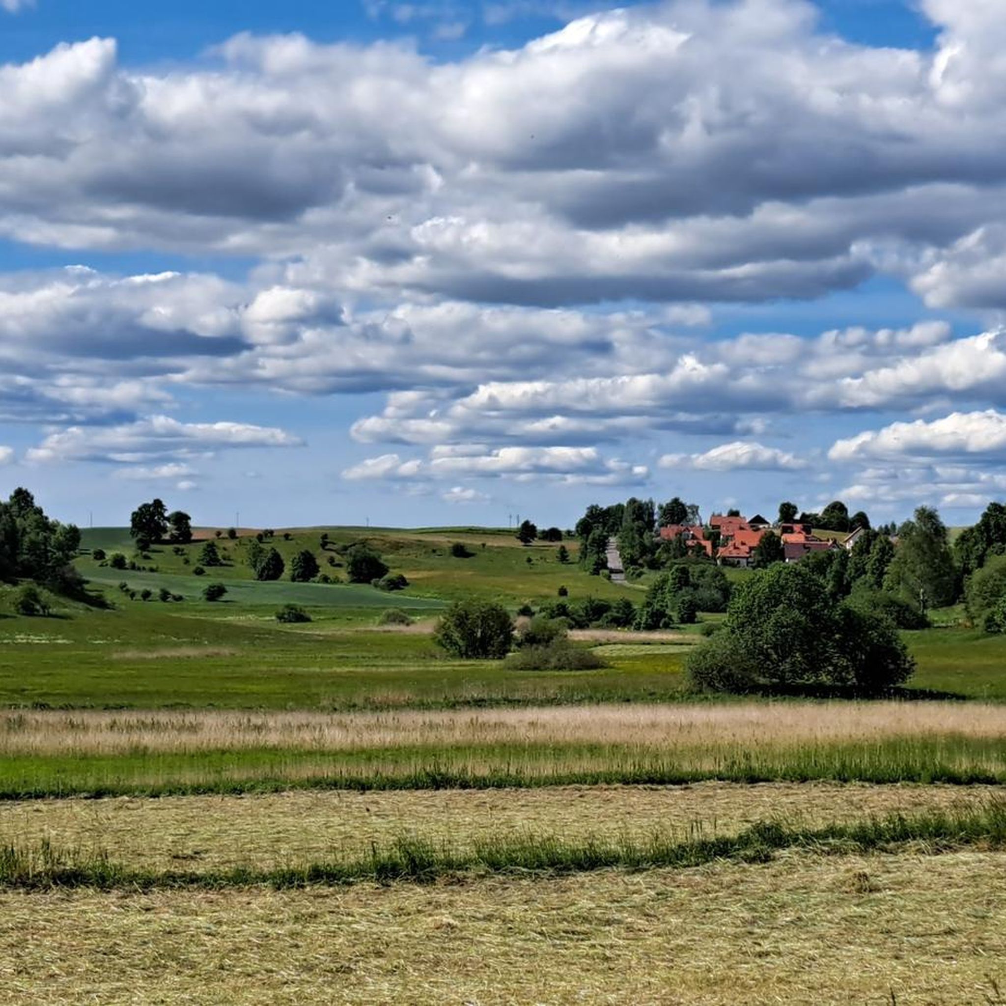
Hiking around Dywity offers a landscape characterized by numerous lakes and the Łyna River, providing diverse waterside trails. The terrain is generally gentle, with low elevation gains, making it accessible for various fitness levels. The region features a mix of open areas, floodplains, and forested sections, particularly around the many bodies of water. This natural setting supports a network of routes suitable for exploring the local environment.
Best hiking trails around Dywity
- The most popular hiking route is Gutkowo Beach…
Last updated: October 25, 2026
4.4
(26)
116
hikers
17.4km
04:31
120m
120m
Moderate hike. Good fitness required. Easily walkable paths.
4.9
(14)
37
hikers
8.14km
02:10
90m
90m
Moderate hike. Good fitness required. Easily walkable paths.

4.9
(8)
25
hikers
6.89km
01:51
80m
80m
Easy hike. Easily walkable paths.
5.0
(1)
36
hikers
2.90km
00:46
20m
20m
Easy hike. Easily walkable paths.
5.0
(2)
10
hikers
Easy hike. Easily walkable paths.
Get access to more routes and recommendations from other explorers.
Already have an account?
Our route recommendations are based on thousands of hikes, rides, and runs completed by other people on komoot.
Start today with a free account
Your next adventure awaits.


Tips from the Community

Olsztyn Sports Walk of Fame
0
0
A Warmia cottage made of wood in the village of Łupstych
0
0
A chapel on private property.
0
0

Very beautiful building. You only have to walk a few meters down the main path into the cul-de-sac to admire it. 😉😀
0
0

Smooth asphalt north and difficult gravel south of the bridge.
0
0

Lovely place
0
0

A small communal beach on the western shore of Lake Krzywe
1
0

There are deckchairs, toitoi, cloakroom, volleyball court and a descent into the water.
1
0
Frequently Asked Questions
How many hiking trails are available around Dywity?
There are over 240 hiking routes available around Dywity, catering to various preferences and fitness levels. This includes a wide selection of easy, moderate, and a few more challenging options.
What is the general terrain like for hiking in Dywity?
The terrain around Dywity is generally gentle, characterized by numerous lakes and the Łyna River. You'll find diverse waterside trails, a mix of open areas, floodplains, and forested sections, with low elevation gains, making it accessible for many hikers.
What do other hikers say about the trails in Dywity?
The trails in Dywity are highly rated by the komoot community, with an average score of 4.7 stars from over 200 reviews. Hikers often praise the serene natural environment, the beautiful lake views, and the well-maintained paths suitable for various activities.
Are there easy hiking trails suitable for beginners or families in Dywity?
Yes, Dywity offers over 150 easy hiking routes, perfect for beginners or families. An excellent option is the Jezioro Dywickie loop from Dywity, a short 2.8 km (1.7 miles) trail that circles Lake Dywickie, offering a pleasant and accessible walk.
Are there any challenging hikes in Dywity?
While the terrain is generally gentle, there are a few longer, more challenging routes. For instance, the Gutkowo Beach – Pier on Lake Krzywe loop from Olsztyn Gutkowo is a moderate 19.2 km (11.9 miles) trail that takes nearly 5 hours to complete, offering a good workout with scenic lake views.
Are there circular hiking routes in Dywity?
Many of the hiking routes in Dywity are circular, allowing you to start and end at the same point. Examples include the Łyna River Dam – Floodplain loop from Gutkowo, which is 8.1 km (5.0 miles), or the Żbik Lake Pier – Picnic Spot by Lake Redykajny loop from Rezerwat Redykajny, covering 8.1 km (5.0 miles).
Can I hike with my dog in Dywity?
Most trails around Dywity are dog-friendly, allowing you to enjoy the natural surroundings with your canine companion. It's always recommended to keep your dog on a leash, especially in nature reserves or areas with wildlife, and to clean up after them.
What natural sights or landmarks can I see along the hiking trails?
Dywity's trails often lead past beautiful natural attractions. You can explore various lakes like Lake Krzywe, Lake Długie, and Lake Skanda, many of which have beaches or scenic viewpoints. The region also features natural monuments such as the Kudypy Arboretum and the Ustnik Nature Reserve, offering diverse landscapes to discover.
Are there opportunities for wild swimming near hiking trails in Dywity?
Yes, Dywity is known for its numerous lakes, offering several spots for swimming. You can find municipal beaches like the City Beach on Bałtycka Street, Lake Krzywe, or the Beach at Lake Skanda, which are popular for a refreshing dip after a hike.
What are some good options for winter hiking in Dywity?
Winter hiking in Dywity can be a magical experience, especially around the frozen lakes and snow-dusted forests. Many of the easier, well-trodden paths remain accessible. Trails along the Łyna River or around Lake Dywickie are generally suitable, but always check local conditions and dress appropriately for cold weather.
How long do hikes in Dywity typically take?
Hikes in Dywity vary greatly in length and duration. Shorter, easy loops like the Jezioro Dywickie loop can be completed in under an hour, while moderate trails such as the Embankment on the Łyna River – Floodplain loop from Redykajny might take around 1 hour 50 minutes. Longer routes can extend up to 5 hours or more.
Is public transport available to reach hiking trailheads in Dywity?
Some trailheads around Dywity, particularly those closer to Olsztyn or larger villages, may be accessible by local bus services. For example, routes starting 'from Olsztyn Gutkowo' or 'from Redykajny' might have public transport connections. It's advisable to check local bus schedules for specific routes and stops near your chosen trailhead.
Most popular routes around Dywity
Most popular attractions around Dywity

Get inspired with the komoot mobile app


Explore more
Browse the best Hikes in other regions.
