The best walks and hikes around Cesar
4.4
(43)
261
hikers
15
hikes
Hiking around Cesar offers diverse landscapes, ranging from the foothills of the Sierra Nevada de Santa Marta to the lowlands of the Magdalena River. The region is characterized by varied terrain, including mountain ranges, river valleys, and extensive wetlands. Hikers can experience ecosystems from tropical forests to areas with significant elevation changes, providing a range of outdoor exploration opportunities.
Best hiking trails around Cesar
- The most popular hiking route is View of the hills – Old Mills loop from Mansores…
Last updated: October 4, 2026
4.6
(8)
32
hikers
9.61km
02:47
260m
250m
Moderate hike. Good fitness required. Easily-accessible paths. Suitable for all skill levels.
3.0
(3)
24
hikers
6.25km
01:37
40m
40m
Easy hike. Great for any fitness level. Easily-accessible paths. Suitable for all skill levels.

4.0
(4)
21
hikers
6.03km
01:35
50m
50m
Easy hike. Great for any fitness level. Easily-accessible paths. Suitable for all skill levels.
4.7
(6)
24
hikers
10.9km
02:47
50m
50m
Moderate hike. Good fitness required. Easily-accessible paths. Suitable for all skill levels.
4.8
(5)
14
hikers
18.3km
04:44
100m
100m
Moderate hike. Good fitness required. Easily-accessible paths. Suitable for all skill levels.
Get access to more routes and recommendations from other explorers.
Already have an account?
Our route recommendations are based on thousands of hikes, rides, and runs completed by other people on komoot.
Start today with a free account
Your next adventure awaits.
Tips from the Community

View of the hills in the area of Estrada. Enjoy this stunning view and stop to take a picture to remember this moment.
0
0


Good to take a break and rest
0
0
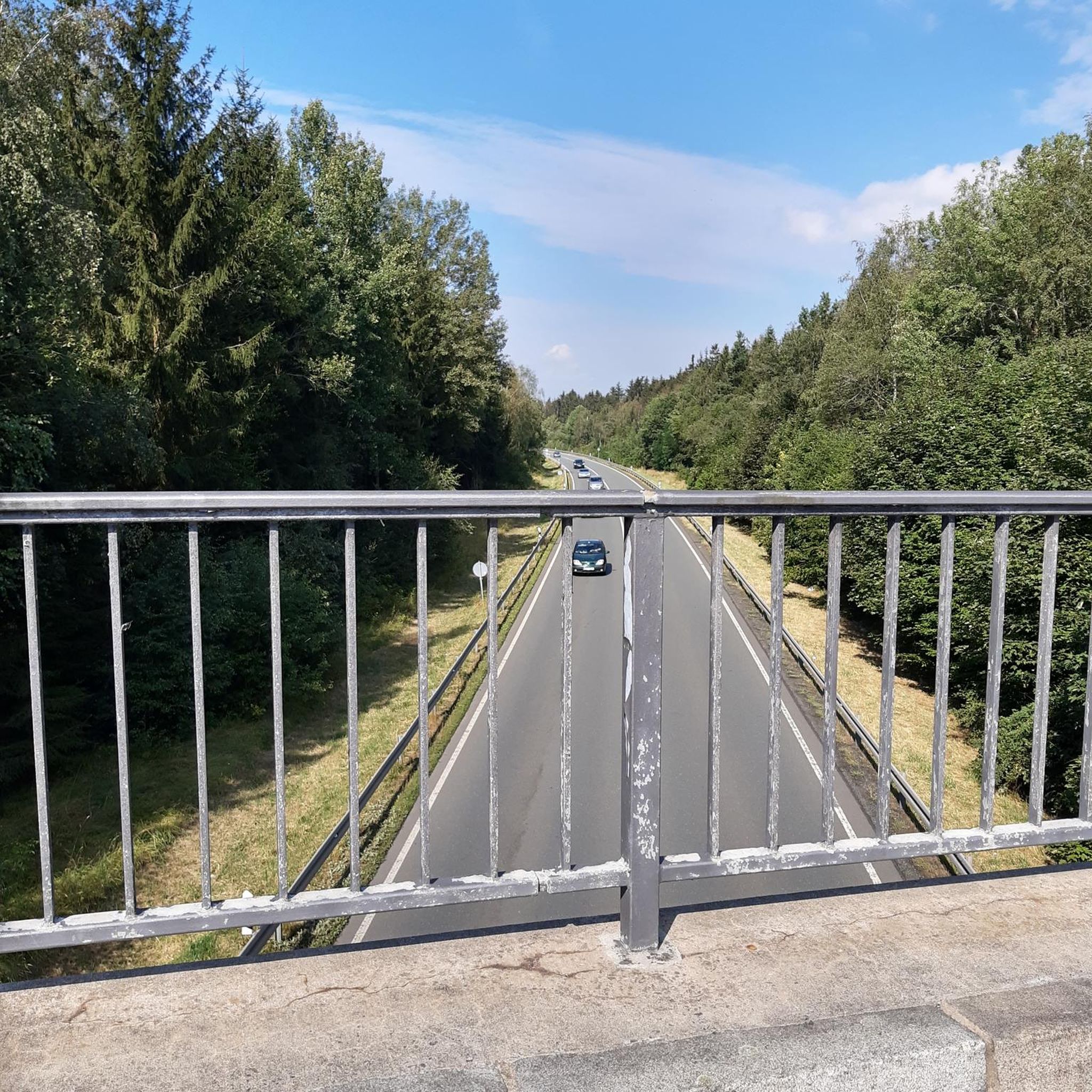
This bridge is the one you cross by car to go to the Termas de S. Jorge (coming from the direction of Santa Maria da Feira)
0
0
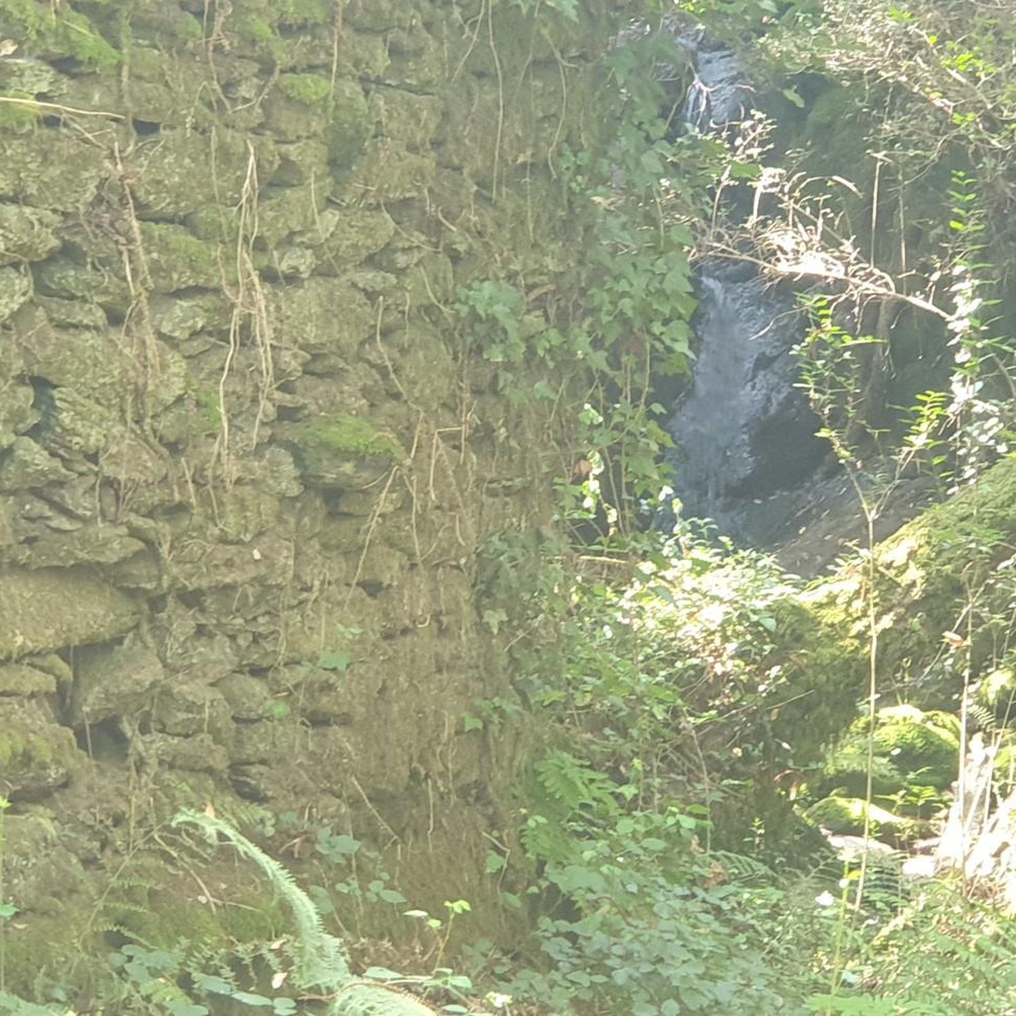
Mini-waterfall on the Uíma River. Fishing Prohibited.
0
0
This bridge is on the path that leads to the walkways.
0
0
This park has some poems written by Amália Rodrigues
0
0
Frequently Asked Questions
How many hiking trails are available in the Cesar region?
The Cesar region offers around 15 hiking routes, catering to various preferences. These include 8 easy trails and 7 moderate options, ensuring there's something for every hiker to explore the diverse landscapes.
Are there any easy, family-friendly hiking options in Cesar?
Yes, Cesar has several easy trails suitable for families. For a gentle walk through parkland, consider the Amália Park – Pedestrian Bridge loop from Pigeiros, which is 6.0 km long. Another accessible option is the Pedestrian Bridge – Entrance to Parque da Chã loop from Lobão, a 4.67 km route.
Can I find trails with waterfalls in Cesar?
Yes, the region features beautiful natural elements, including waterfalls. You can experience riverine landscapes and a waterfall on the Rio Uíma Waterfall – Ponte de Santiago loop from Caldas de São Jorge, an easy 6.0 km trail.
Are there any circular hiking routes in Cesar?
Many of the trails in Cesar are designed as loops, offering convenient circular walks. Popular options include the moderate View of the hills – Old Mills loop from Mansores (9.6 km) and the easy Amália Park – Pedestrian Bridge loop from Pigeiros (6.0 km).
What kind of natural landscapes can I expect to see while hiking in Cesar?
Cesar offers a remarkable diversity of landscapes. You can hike through the foothills of the majestic Sierra Nevada de Santa Marta, explore river valleys like the Guatapurí, and encounter extensive wetlands such as the Ciénaga de Zapatosa. The region transitions from tropical forests to areas with significant elevation changes, providing varied ecosystems for exploration.
What are some notable landmarks or attractions near the hiking trails in Cesar?
Beyond the trails, Cesar boasts several interesting landmarks. You can visit historical sites like the Castle of Santa Maria da Feira or explore religious buildings such as the Igreja Matriz de Oliveira de Azeméis and the Main Church of Santa Maria da Feira. The region also features natural highlights like a generic Waterfall.
What do other hikers say about the trails in Cesar?
The hiking routes in Cesar are highly regarded by the komoot community, holding an impressive average rating of 4.5 stars from around 40 reviews. Hikers often praise the diverse terrain, from rolling hills to riverine paths, and the well-maintained nature of the trails.
Are there any permits required for hiking in Cesar?
Generally, permits are not required for the standard hiking trails listed in Cesar. However, if you plan to venture into specific indigenous territories within the Sierra Nevada de Santa Marta, such as Nabusímake, it's advisable to inquire locally about access protocols or guided tours, as these areas hold significant cultural and spiritual importance.
What is the best season to visit Cesar for hiking?
Cesar's diverse climate means hiking is possible year-round, but the best season often depends on the specific area. The lowlands can be very warm, while the Sierra Nevada offers cooler temperatures at higher altitudes. Generally, the drier months are more comfortable for hiking, but specific local conditions can vary greatly due to the region's varied ecosystems.
Are there any longer, more challenging hikes in Cesar?
While Cesar doesn't feature 'difficult' graded trails, it does offer moderate routes that provide a good challenge. The Entrance to Parque da Chã loop from Caldas de São Jorge is a moderate 10.87 km route, offering a longer exploration of the area's natural beauty.
What are the typical durations for hikes in Cesar?
Hikes in Cesar vary in duration depending on the route and your pace. Easy trails like the Amália Park – Pedestrian Bridge loop from Pigeiros typically take around 1 hour 33 minutes. Moderate routes, such as the View of the hills – Old Mills loop from Mansores, can take approximately 2 hours 47 minutes.
Most popular routes around Cesar
Most popular attractions around Cesar

Get inspired with the komoot mobile app


Explore more
Browse the best Hikes in other regions.
