The best cycling routes around Geisa
4.7
(382)
1,537
riders
68
rides
Touring cycling around Geisa features diverse landscapes within the Rhön low mountain range, part of the UNESCO Rhön Biosphere Reserve. The region is characterized by rolling hills, extensive forests, picturesque valleys, and idyllic riverbanks. This varied terrain provides a mix of ascents and descents, with routes often following river paths along the Ulster River and traversing open countryside.
Best touring cycling routes around Geisa
- The most popular touring cycling route is Pond by the Ulster Cycle Path – Blue Bridge over the Ulster River loop from Geisa, a 19.8 miles (31.8 km) trail that takes 1 hour 53 minutes to complete. This easy route follows the Ulstertal Cycle Path, passing by a pond and the Ulster River.
- Another top favourite among local touring cyclists is Ulster River near Geisa – Milseburg Tunnel loop from Geisa, a moderate 32.8 miles (52.8 km) path. This route connects river scenery with the historic Milseburg Tunnel.
- Local touring cyclists also love the View of the Rhön – Geisa Town Hall loop from Geisa, a 22.2 miles (35.8 km) trail leading through the Rhön hills, often completed in about 2 hours 14 minutes.
- Touring cycling around Geisa is defined by river valleys, rolling hills of the Rhön, and scenic countryside. The network offers options for easy, moderate, and difficult routes, catering to different ability levels.
- The routes in Geisa are highly rated by the komoot community with an average score of 4.7 stars from over 400 reviews. More than 1,700 touring cyclists have used komoot to explore Geisa's varied terrain.
Last updated: September 24, 2026
4.8
(49)
171
riders
Moderate bike ride. Good fitness required. Mostly paved surfaces. Suitable for all skill levels.
4.6
(16)
87
riders
35.8km
02:14
350m
350m
Moderate bike ride. Good fitness required. Mostly paved surfaces. Suitable for all skill levels.

4.6
(67)
192
riders
43.5km
02:40
320m
320m
Moderate bike ride. Good fitness required. Mostly paved surfaces. Suitable for all skill levels.
4.8
(18)
72
riders
66.3km
03:57
470m
470m
Hard bike ride. Very good fitness required. Mostly paved surfaces. Suitable for all skill levels.
4.5
(11)
50
riders
Moderate bike ride. Good fitness required. Mostly paved surfaces. Suitable for all skill levels.
Get access to more routes and recommendations from other explorers.
Already have an account?
Our route recommendations are based on thousands of hikes, rides, and runs completed by other people on komoot.
Start today with a free account
Your next adventure awaits.
Popular around Geisa
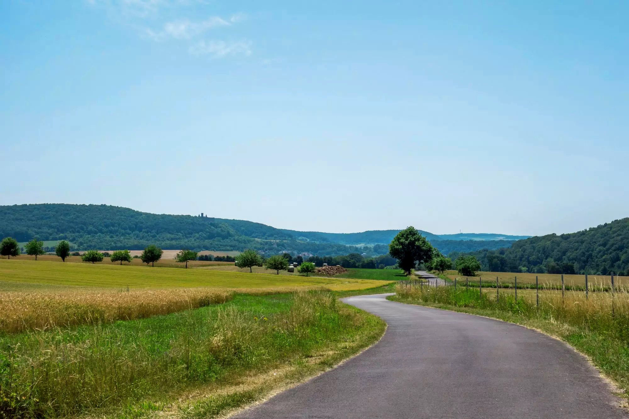
Rhön Cycleway in Germany – Cycling in the Land of Open Distances
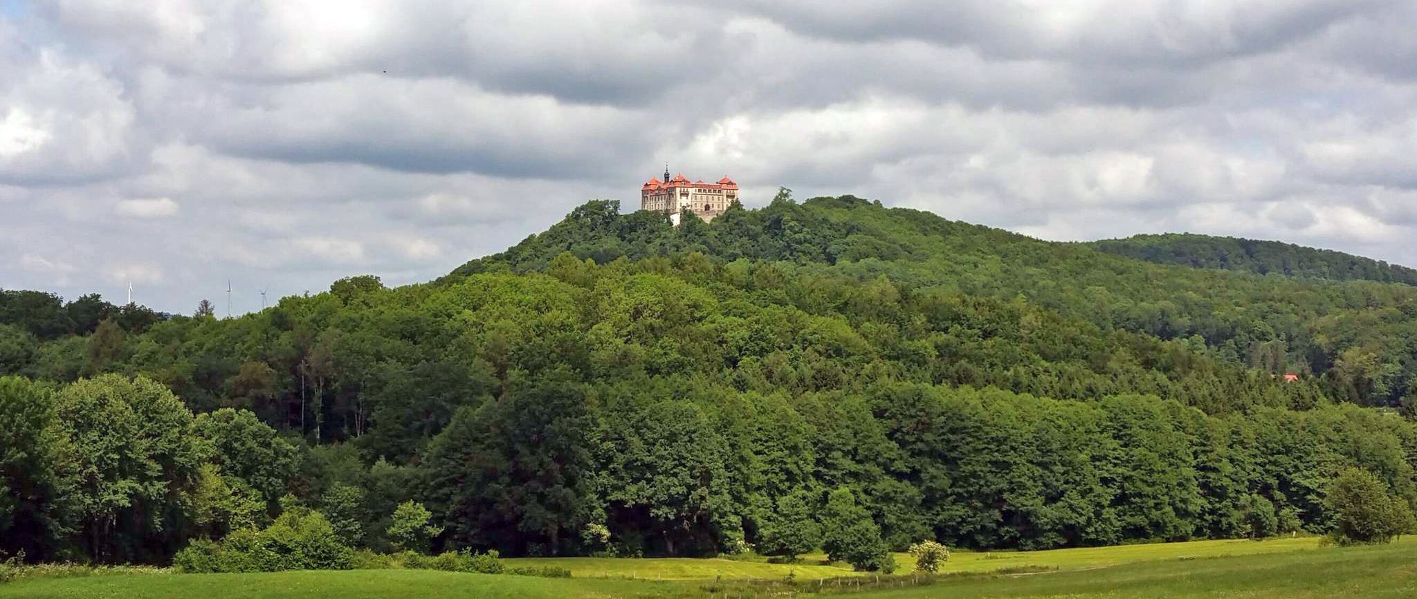
BahnRadweg Hessen — castles, palaces & beautiful nature

Wonderful Green Band
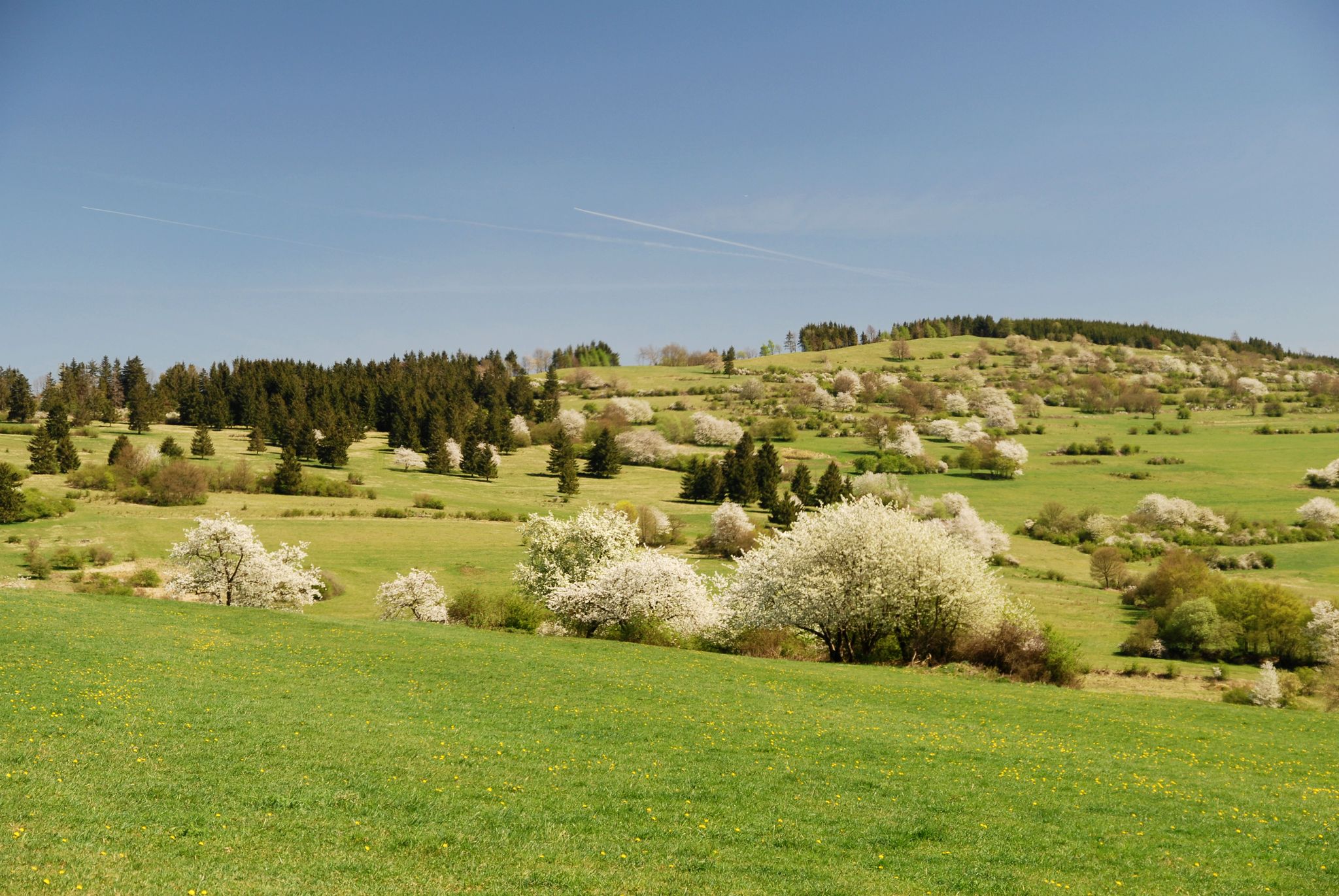
Extra tours North - excellent premium hiking trails of Rhön
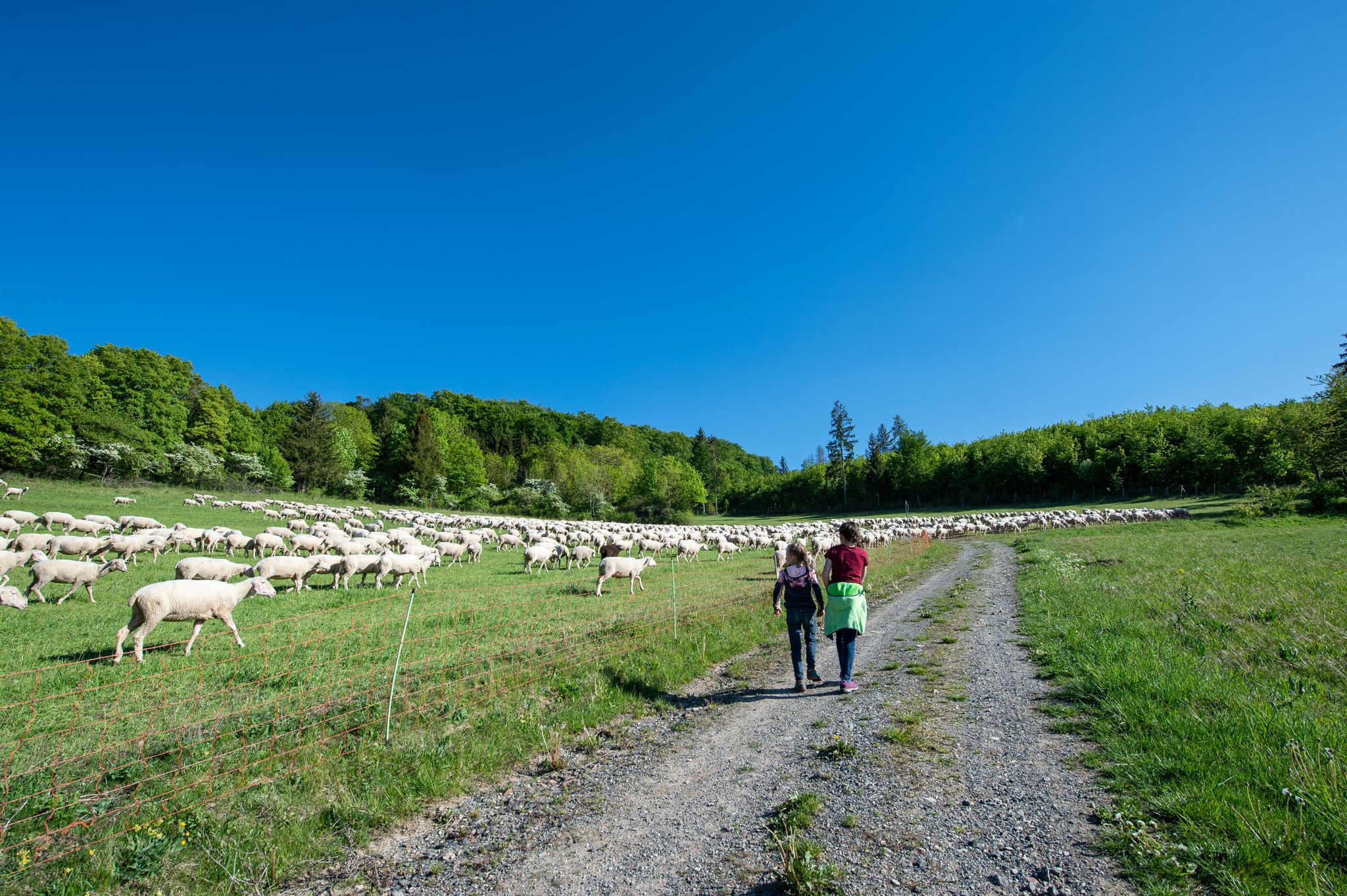
Family paths - on the way with kids in the Rhön
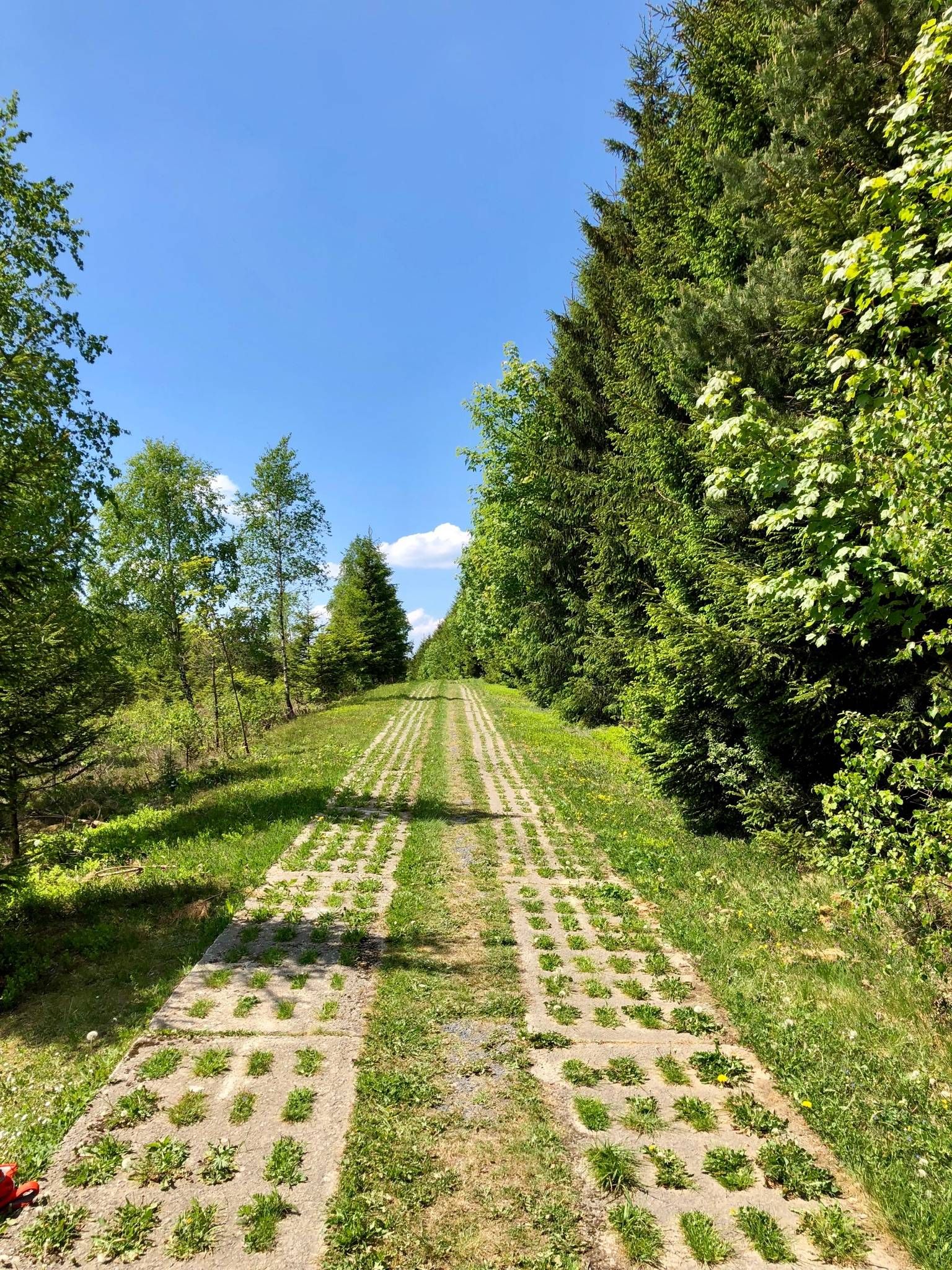
Experience history – day Tours at the Green Belt in Thuringia

Discover the nature along the “Greenbelt” together with the BUND
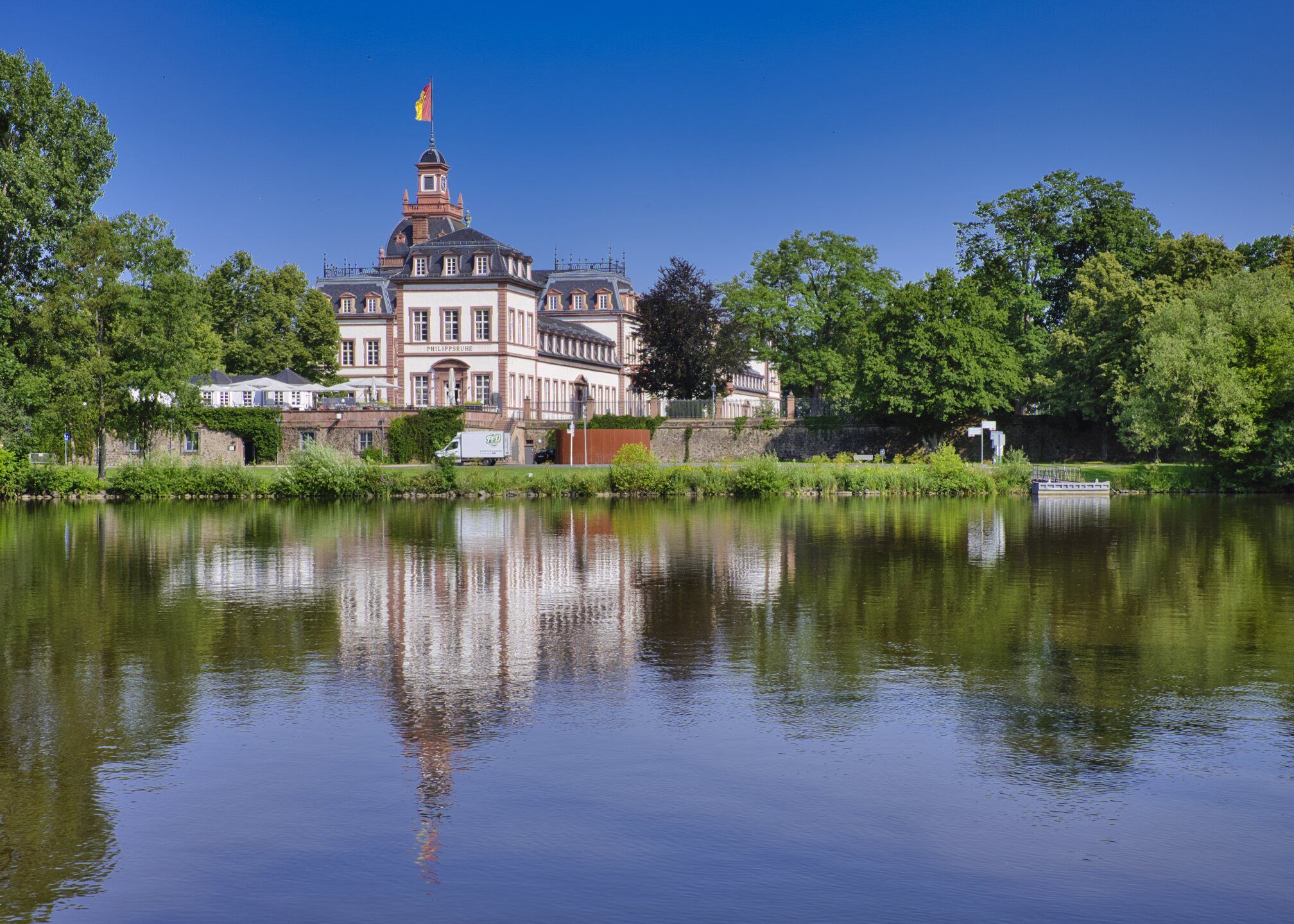
Rad-Kurzurlaube im RMV – Einfach mal raus!
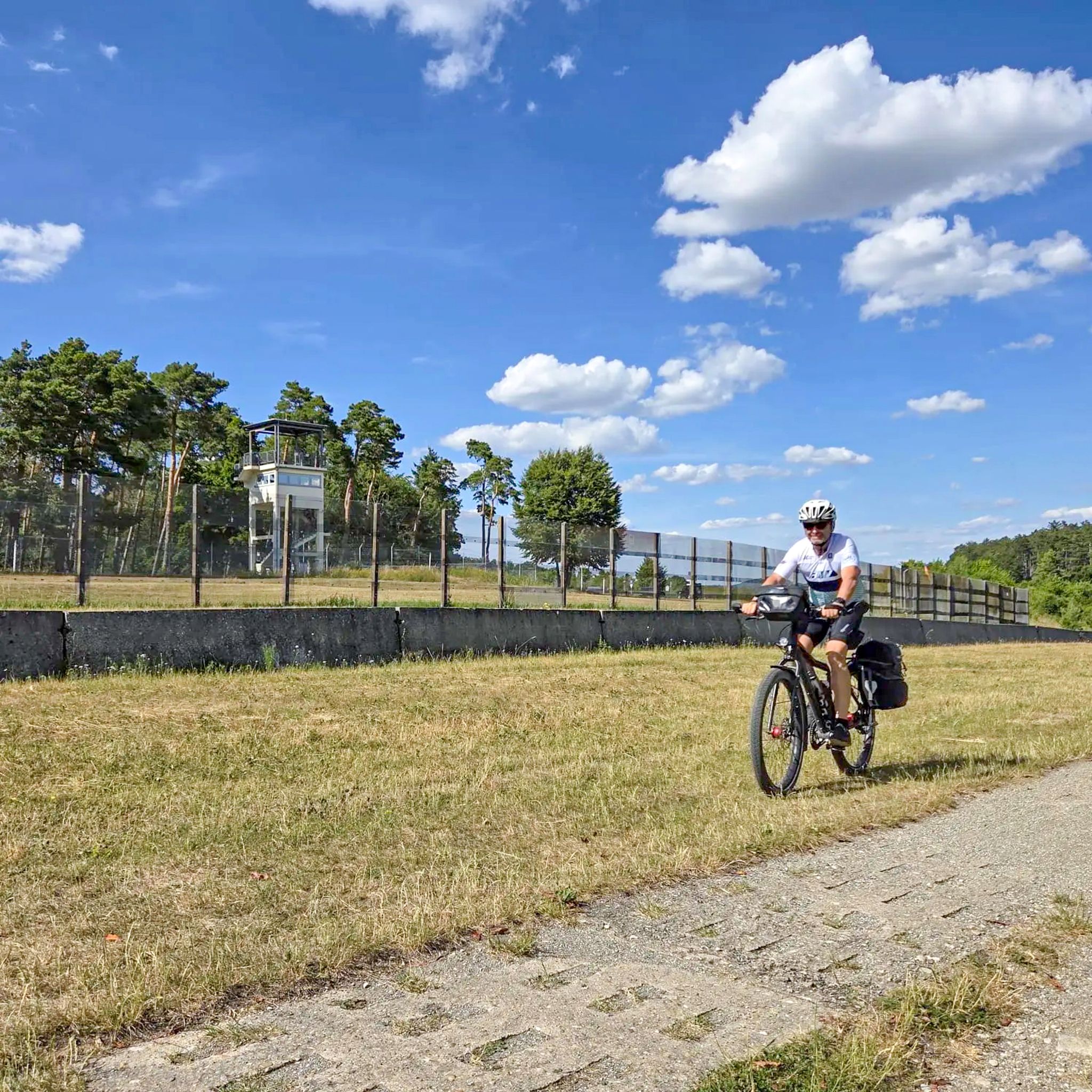
Radtouren zum Tag der Deutschen Einheit – Unterwegs im Fulda-Gap
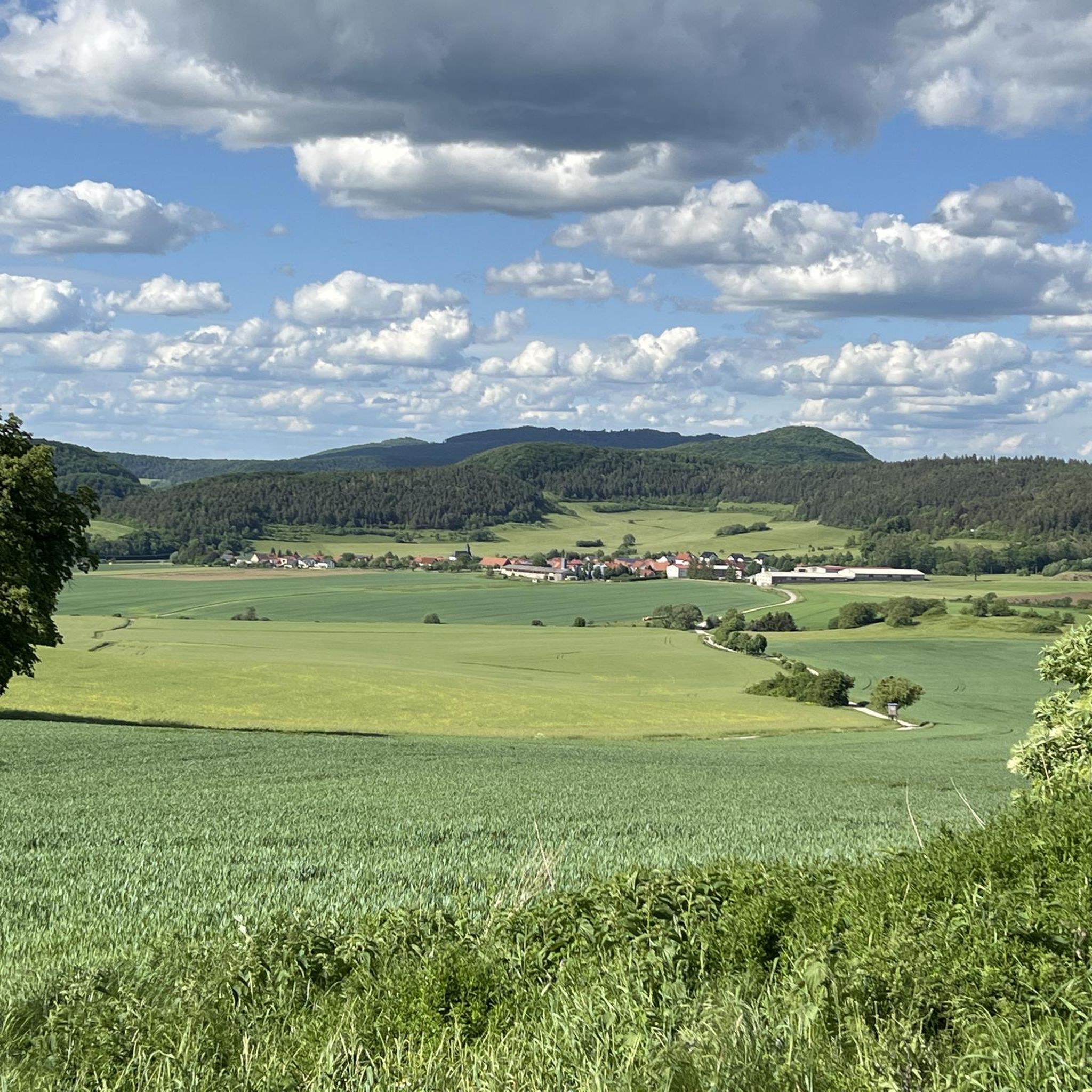
Hiking around Geisa
Other adventures around Geisa


Tips from the Community


The first documented mention of Geisa dates back to the year 817. In 1302, the designation of city appears for the first time in a document. The chronicler once described the old town, picturesquely beautiful, as a "strawberry in a moss basket" on a long ridge (280 to 322 m above sea level) between the mountain tops of the Vordere Rhön. The towers of the parish church, the town hall and the Schlossplatz ensemble, the historically grown arrangement of residential buildings in conjunction with the approx. 1000 m long town fortifications and the park-like designed summit of the Gangolfiberg with an ancient court and the architecturally historically valuable cemetery chapel "St. Gangolf" with an external pulpit, shape a romantically dreamy image. Source: https://www.thueringen.info/ort/geisa/
1
0

Beautiful old town in Geisa.
0
0

Beautiful historic town center, worth a detour.
0
0
It's worth a stop! Information boards on both sides of the bridge tell the rich history of both towns. A detour to the historic town center is definitely worthwhile. I especially recommend a visit to the small castle and a climb to the tower (€1). From there, you'll enjoy a fantastic view of the surrounding area and the bridge.
0
0

A truly picturesque old town with a beautiful town hall and impressive castle.
1
0


On the Wenigentaft - Soisdorf road: At this point, the border with its barriers crossed the Wenigentaft - Soisdorf road. The patrol track also led up to the Standorfsberg here. Due to the enormous gradient - probably the steepest in the entire system of GDR border fortifications - it was only used by vehicles in exceptional cases for safety reasons. The slabs were removed towards the end of the 90s.
0
0
Frequently Asked Questions
How many touring cycling routes are available around Geisa?
There are over 70 touring cycling routes in the Geisa region, offering a wide variety of options for different skill levels and preferences.
What kind of terrain can I expect on touring cycling routes in Geisa?
The routes around Geisa feature diverse terrain, including paths along the Ulstertal valley and the Ulster River, open countryside, and gentle ascents into the rolling Rhön hills. You'll find a mix of river paths and scenic climbs.
Are there any easy touring cycling routes suitable for beginners or families?
Yes, Geisa offers 12 easy touring cycling routes. A great option for a relaxed ride is the Pond at Ulstertal Cycle Path – Blue Bridge over the Ulster River loop from Borsch, which follows the Ulstertal Cycle Path and is relatively flat.
What are some moderate touring cycling routes in the Geisa area?
For those looking for a bit more challenge, there are 35 moderate routes. Consider the Geisa Town Center – Ulster River near Geisa loop from Wiesenfeld, which combines river scenery with exploration of the town's surroundings.
Are there any challenging touring cycling routes for experienced cyclists?
Yes, the region has 26 difficult touring cycling routes. These often involve more significant climbs into the Rhön hills. For example, the Blue Bridge over the Ulster River – Pond at Ulstertal Cycle Path loop from Borsch offers a moderate challenge with varied elevation.
What are the typical durations for touring cycling routes around Geisa?
Route durations vary significantly based on distance and elevation. Easy routes like the Pond at Ulstertal Cycle Path – Blue Bridge over the Ulster River loop from Borsch can take under 2 hours, while longer moderate routes such as the Blue Bridge over the Ulster River – Geisa Town Hall loop from Geisa might take over 3 hours.
Are there any circular touring cycling routes in Geisa?
Many of the touring cycling routes around Geisa are loops, making them convenient for starting and ending at the same point. Examples include the View of the Rhön – Geisa Town Hall loop from Geisa, which takes you through the scenic Rhön hills.
What can I see along the touring cycling routes in Geisa?
The routes offer views of the Rhön hills and the Ulstertal valley. You can also find interesting natural monuments and viewpoints nearby, such as the Buchschirmberg Viewing Platform or the Öchsenberg Summit. Some routes pass by the Ulmenstein Basalt Lake.
What do other touring cyclists say about the routes in Geisa?
The touring cycling routes in Geisa are highly rated by the komoot community, with an average score of 4.7 stars from over 300 reviews. Cyclists often praise the scenic river paths, the rolling hills of the Rhön, and the variety of routes available for all skill levels.
When is the best time of year for touring cycling in Geisa?
The spring, summer, and early autumn months generally offer the most pleasant weather conditions for touring cycling in Geisa, with milder temperatures and lush landscapes. Always check the local forecast before heading out.
Are there any specific landmarks or points of interest near the cycling routes?
Beyond the natural beauty, you can find historical and natural landmarks. Notable highlights include the Milseburg Summit and Crucifixion Group, the Buchschirmberg summit and Kreuz des Ostens (Cross of the East), and the Gläserberg Summit.
Most popular routes around Geisa
Most popular attractions around Geisa

Get inspired with the komoot mobile app


Explore more
Browse the best Cycling routes in other regions.
