The best road cycling routes around Gehlberg
4.6
(432)
6,822
riders
12
rides
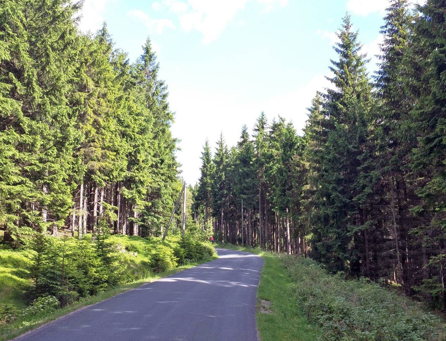
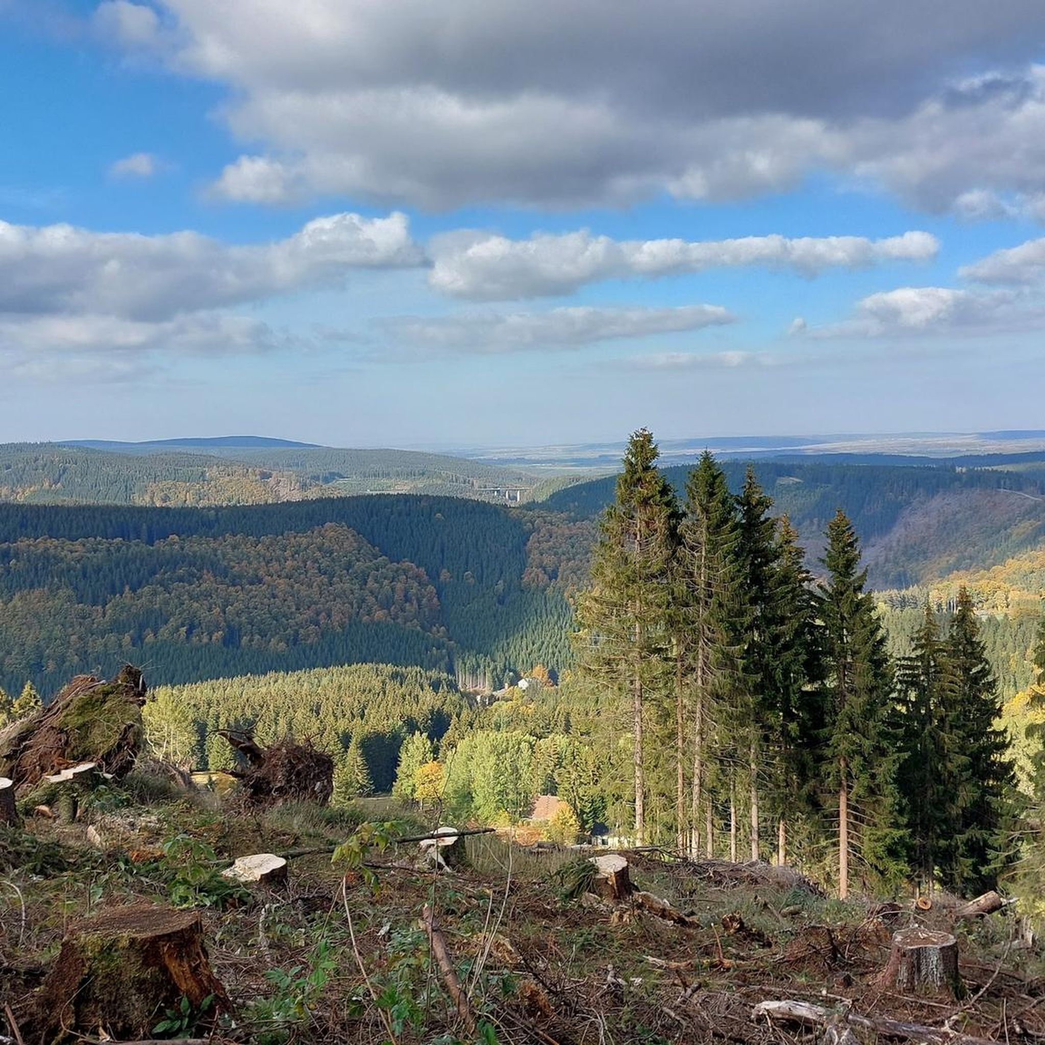
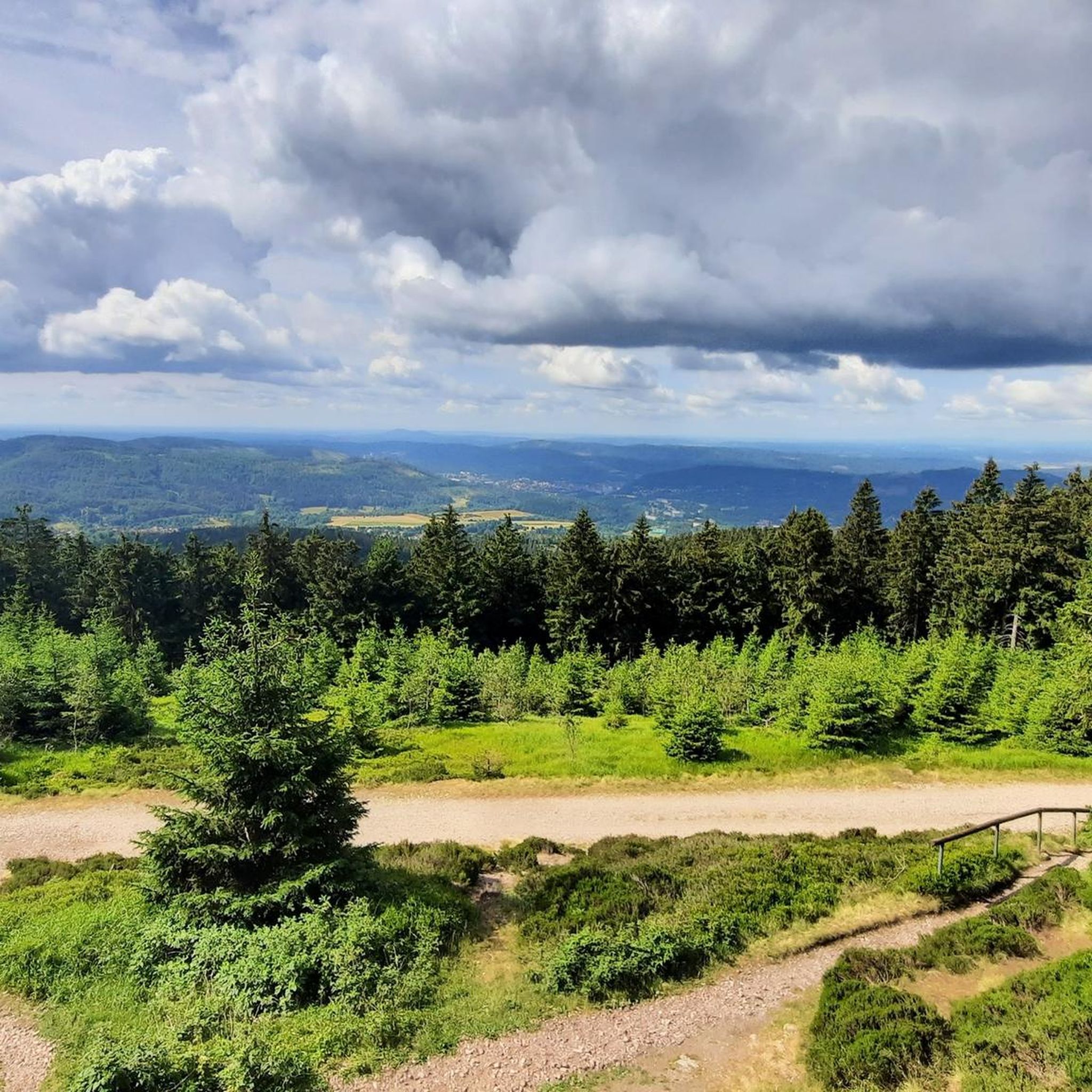
Road cycling routes around Gehlberg are situated within the Thuringian Forest, a low mountain range characterized by dense forests and a distinct ridge landscape. The region offers varied topography, with routes featuring significant elevation changes and challenging climbs. Gehlberg itself is at approximately 700 meters elevation, providing panoramic views of the surrounding mountains and hills. This network provides a scenic backdrop for road cycling, with opportunities to navigate forested hills and valleys on paved roads.
Best road cycling routes around…
Last updated: July 23, 2026
62
riders
122km
06:46
2,250m
2,250m
Hard road ride. Very good fitness required. Some segments of this route may be unpaved and difficult to ride.
33
riders
162km
08:53
2,950m
2,950m
Hard road ride. Very good fitness required. Some segments of this route may be unpaved and difficult to ride.

Sign up for free
19
riders
91.3km
03:58
720m
720m
Moderate road ride. Good fitness required. Some segments of this route may be unpaved and difficult to ride.
11
riders
100km
05:06
1,450m
1,450m
Hard road ride. Very good fitness required. Mostly well-paved surfaces and easy to ride.
12
riders
90.2km
04:41
1,620m
1,620m
Hard road ride. Very good fitness required. Some segments of this route may be unpaved and difficult to ride.
Get access to more routes and recommendations from other explorers.
Sign up for free
Already have an account?
Our route recommendations are based on thousands of hikes, rides, and runs completed by other people on komoot.
Start today with a free account
Your next adventure awaits.
Login or Signup
Popular around Gehlberg

Long distance hiking trails in the Thuringian Forest

Lowest to Highest (L2H) in Germany
From Rennsteig to Unstrut - the Gera cycle path in 2 stages
Hiking around Gehlberg
MTB Trails around Gehlberg
Running Trails around Gehlberg
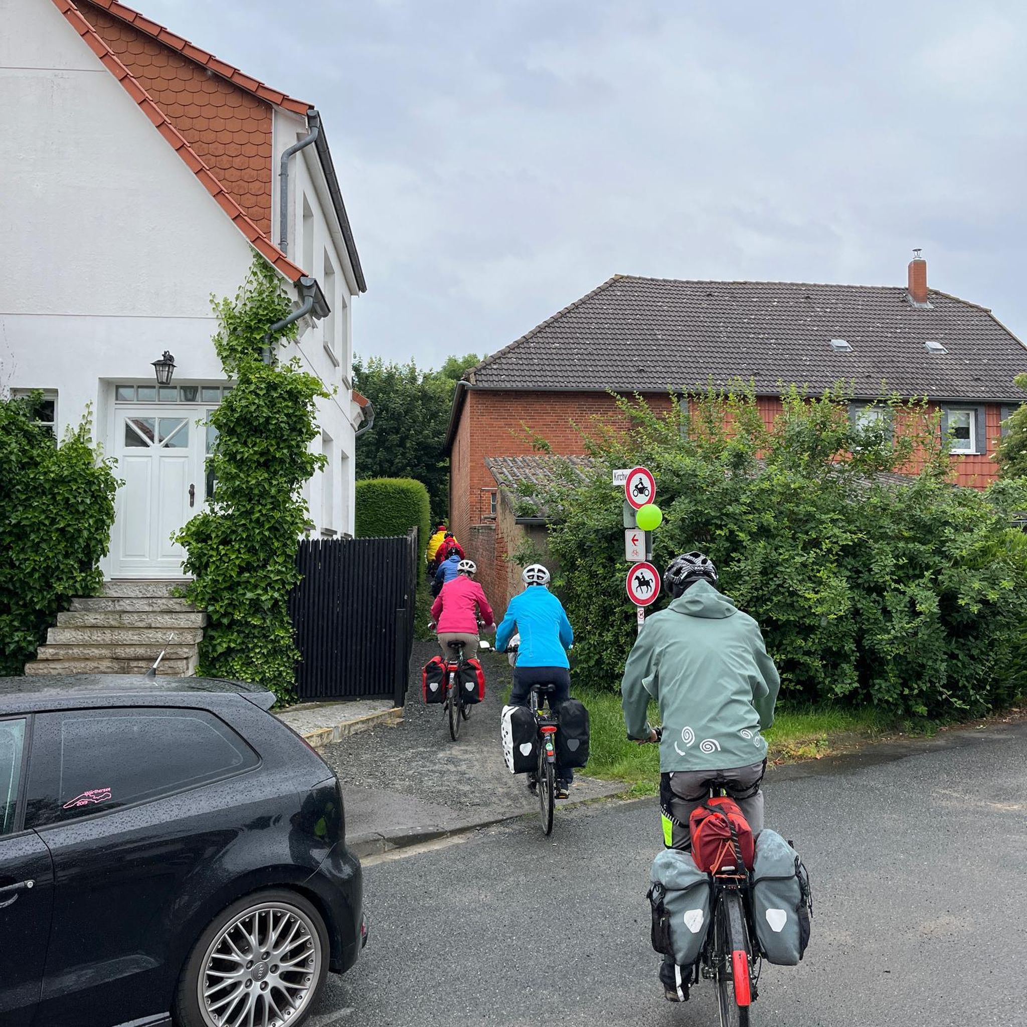
Cycling around Gehlberg

Gravel biking around Gehlberg
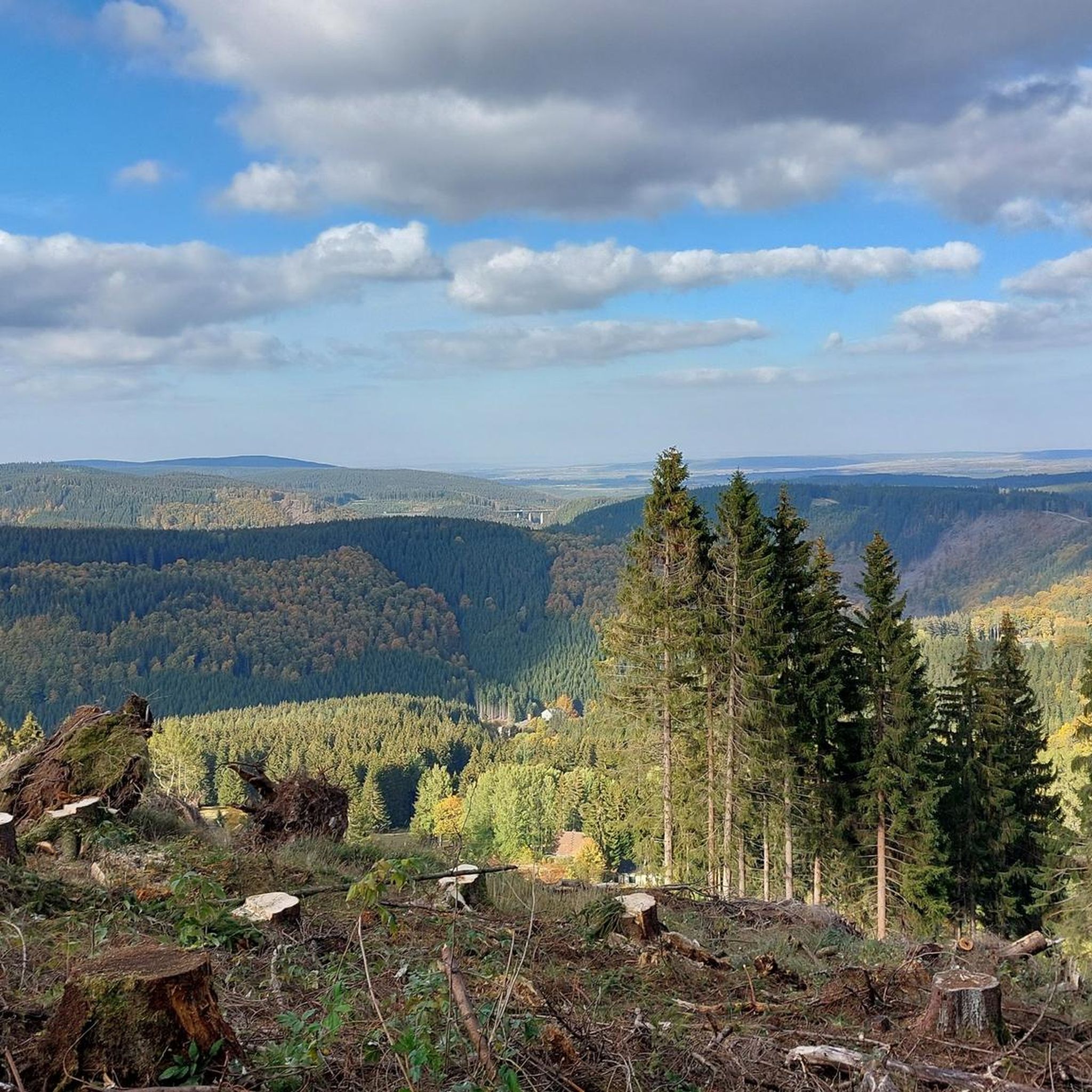
Mountain Hikes around Gehlberg


Tips from the Community

Very exciting place. It's fun to learn the history behind it and decipher the inscriptions.
0
0

Beautiful, small lakes accompany you here while cycling.
2
0

View from Liebenstein Castle...
0
0

Nice climb! Low traffic and good tarmac
0
0

the Frauenwald landmark
0
0


"Great bike path! But on Father's Day, it's best to wear a helmet and have a backup plan—there are more carts than bikes on the road. Road cyclists are better off taking the parallel road and avoiding the slalom course."
0
0

Beautiful climb in the forest (without ramps), on a side road, to Oberhof.
0
0
Frequently Asked Questions
How many road cycling routes are available around Gehlberg?
Gehlberg, situated in the Thuringian Forest, offers a wide selection of road cycling routes. While this guide highlights a curated selection, the region boasts over 100 cycling routes in total, providing diverse options for all types of riders.
What is the typical difficulty level of road cycling routes in Gehlberg?
Road cycling around Gehlberg is generally challenging due to the region's varied topography and significant elevation changes. Most routes are classified as difficult, with 11 out of 12 routes in this guide falling into that category. There is one moderate route, but no easy routes are specifically listed.
What kind of elevation changes can I expect on Gehlberg's road cycling routes?
The Thuringian Forest terrain means you can expect substantial elevation gains. Many routes feature ascents over 1,000 meters, with some even exceeding 2,000 meters. For example, the Kehltal Valley – Valley view from the Schmücke loop from Gehlberg includes over 2,200 meters of elevation gain.
Are there long-distance road cycling options available?
Yes, Gehlberg offers excellent options for long-distance road cycling. Routes frequently extend beyond 90 kilometers, with some reaching over 160 kilometers. The View of the ski jump – Mommelstein Cycle Path loop from Gehlberg, for instance, is a substantial 163.3 km trail.
When is the best time of year for road cycling in Gehlberg?
The most popular months for road cycling in Gehlberg are May and September. During these times, the weather is generally favorable, offering pleasant conditions to explore the diverse landscapes and enjoy the consistently wonderful views of the Thuringian Forest.
What natural features and landscapes will I encounter on the routes?
You'll primarily cycle through the dense forests and distinct ridge landscape of the Thuringian Forest. A significant feature is the legendary Rennsteig Cycle Path, a historic border path offering great views. Many routes also provide scenic vistas of the Ohratalsperre (Ohra Reservoir), adding water views to the forested hills.
Are there scenic viewpoints along the road cycling routes?
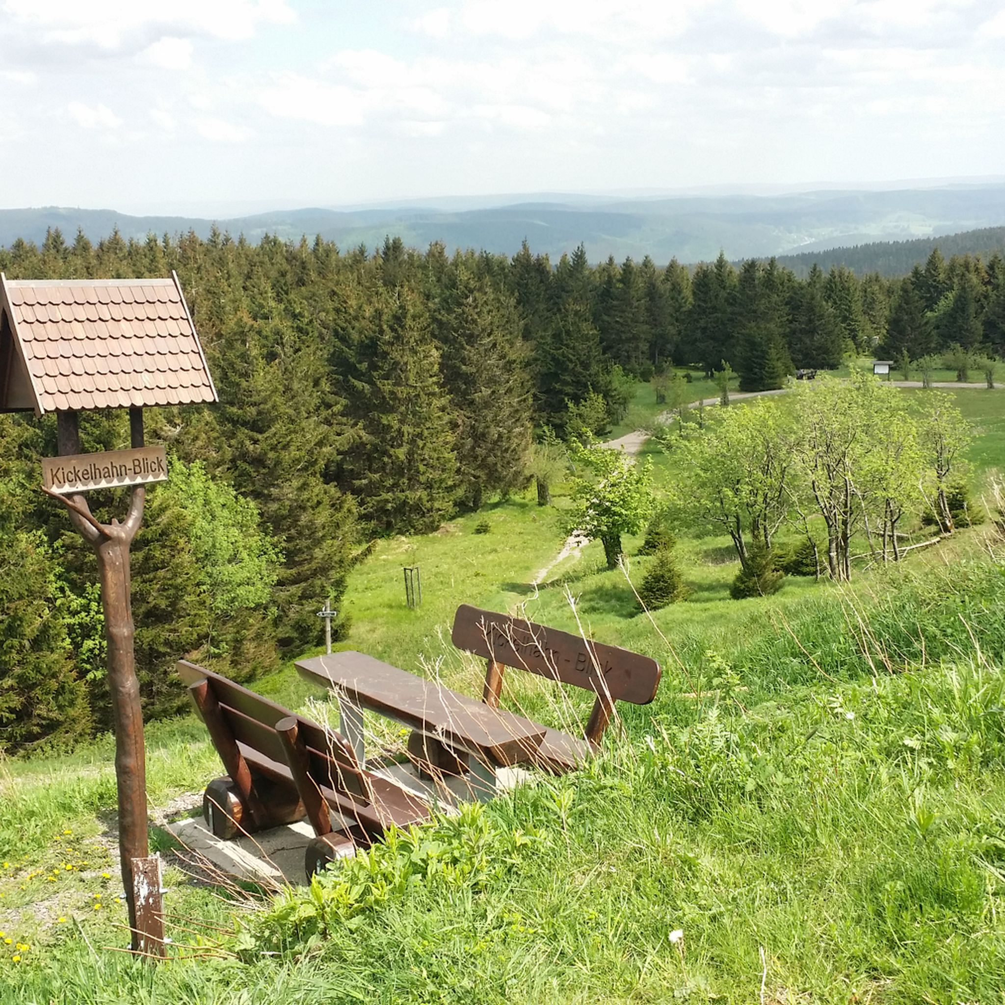
Yes, the region is rich with scenic viewpoints. You can find highlights such as the Kickelhahn Tower and Plänckner's viewpoint (Großer Beerberg), offering expansive views of the Thuringian Forest landscape.
What kind of landmarks or attractions can I see near the cycling routes?
Beyond the natural beauty, you can explore various landmarks. Notable points include the Schneekopf Summit and Observation Tower, the Highest Point of the Rennsteig, and the Old Ilmenau Ski Jump. The area also features the Oberhof Winter Sports Center.
Are there circular road cycling routes available from Gehlberg?
Many of the road cycling routes around Gehlberg are designed as loops, allowing you to start and finish in the same location. Examples include the View of the ski jump – Kehltal Valley loop from Gehlberg and the Kehltal Valley – Schwabhausener Ponds loop from Gehlberg.
What do other road cyclists enjoy most about road cycling in Gehlberg?
The road cycling experience in Gehlberg is highly rated by the komoot community, with an average score of 4.6 stars from over 300 reviews. Cyclists often praise the varied terrain, the extensive views across the landscape, and the serene backdrop of the Thuringian Forest, which offers opportunities to discover nature and peace.
Is the Rennsteig Cycle Path suitable for road bikes?
The Rennsteig Cycle Path, while known for its natural trails and descents, is primarily suitable for mountain bikers. However, segments of this nearly 200-kilometer ridge trail can be enjoyed by general cyclists, offering a challenging yet rewarding experience with climbs and descents. Road cyclists should be prepared for varied surfaces on certain sections.
Most popular routes around Gehlberg
Most popular attractions around Gehlberg

Get inspired with the komoot mobile app


Explore more
Browse the best Road cycling routes in other regions.
