The best MTB trails around Moimenta
4.7
(6)
99
riders
10
rides
Mountain biking around Moimenta offers diverse terrain across hilly and mountainous landscapes. The region features rugged areas like the Serra de Leomil, winding through woodlands and open meadows, alongside riverine areas such as the Paiva and Távora. Riders will encounter ancient chestnut and pine forests, as well as significant granite rock formations that shape the scenery. This varied environment provides a dynamic setting for mountain bike trails Moimenta, suitable for different skill levels.
Best mountain bike trails around Moimenta
- The…
Last updated: October 7, 2026
33
riders
73.5km
07:15
1,800m
1,790m
Hard mountain bike ride. Very good fitness required. Advanced riding skills necessary. Some portions of the route may require you to push your bike.
4.0
(4)
21
riders
38.0km
03:09
920m
930m
Hard mountain bike ride. Very good fitness required. Suitable for all skill levels.

5
riders
18.1km
02:00
660m
660m
Moderate mountain bike ride. Good fitness required. Suitable for all skill levels.
5.0
(1)
12
riders
43.0km
04:08
1,220m
1,220m
Hard mountain bike ride. Very good fitness required. Suitable for all skill levels.
9
riders
73.1km
05:21
1,460m
1,460m
Hard mountain bike ride. Very good fitness required. Suitable for all skill levels.
Get access to more routes and recommendations from other explorers.
Already have an account?
Our route recommendations are based on thousands of hikes, rides, and runs completed by other people on komoot.
Start today with a free account
Your next adventure awaits.
Tips from the Community

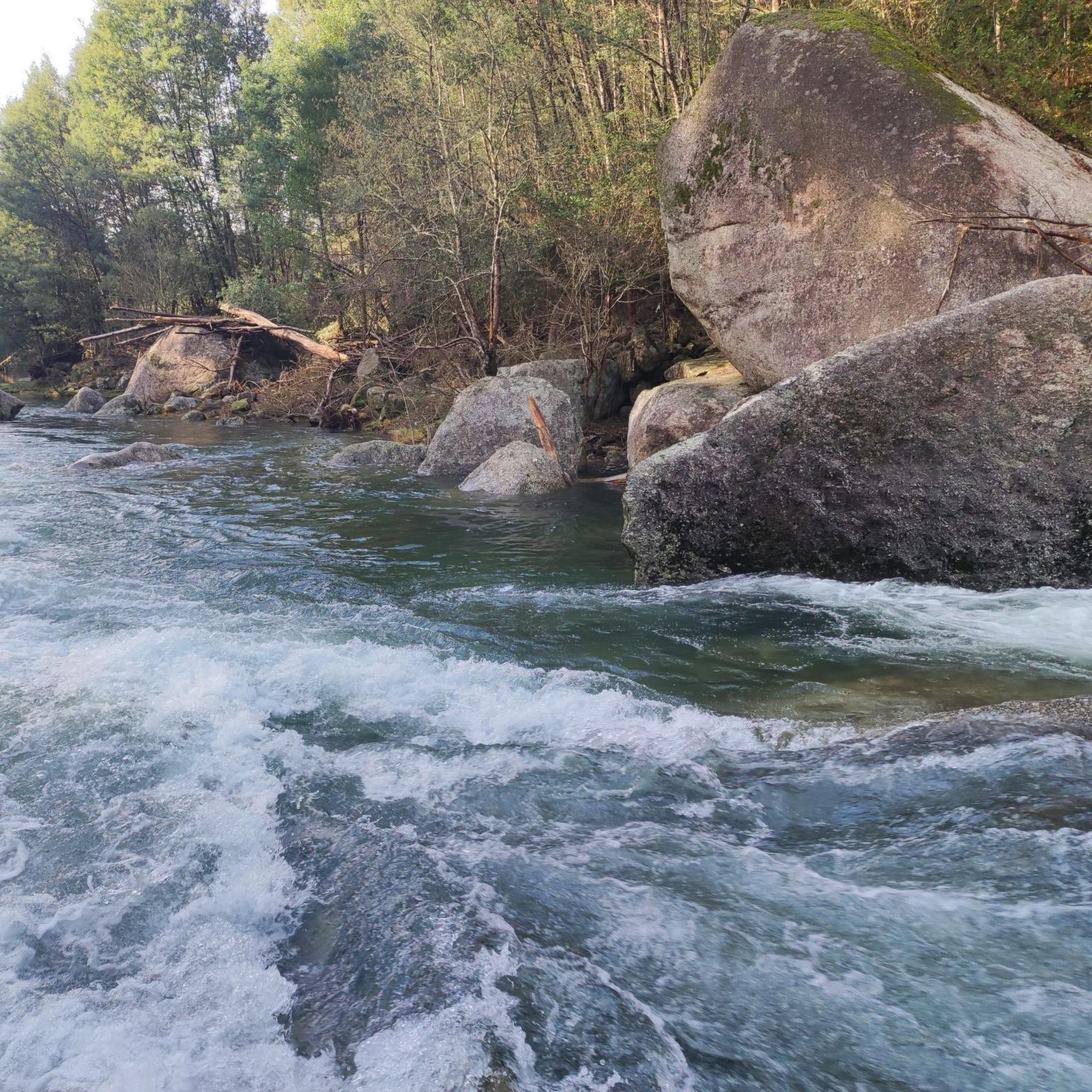
Leonte waterfall is now dry (August). Still a beautiful path to walk.
0
0


An excellent place to end the tour, as we can always get a hot shower.
0
0

Nice place to visit and take a walk to the Cascata da Portela do Homem.
0
0

734m altitude. Also known as Pico do Barrete. It is located 15 km from the municipal seat of Vila Verde. This mountain is home to the source of the Vade River and some prehistoric archaeological sites. The highest point of this mountain is at Penedos Mourinhos, a natural viewpoint overlooking the Baixo Minho and the Homem River valley. The PR2 - Fojo do Lobo Trail (VVD) passes through this location. Near this viewpoint is a lookout post and a paragliding launch site.
1
0

It's really small
0
0
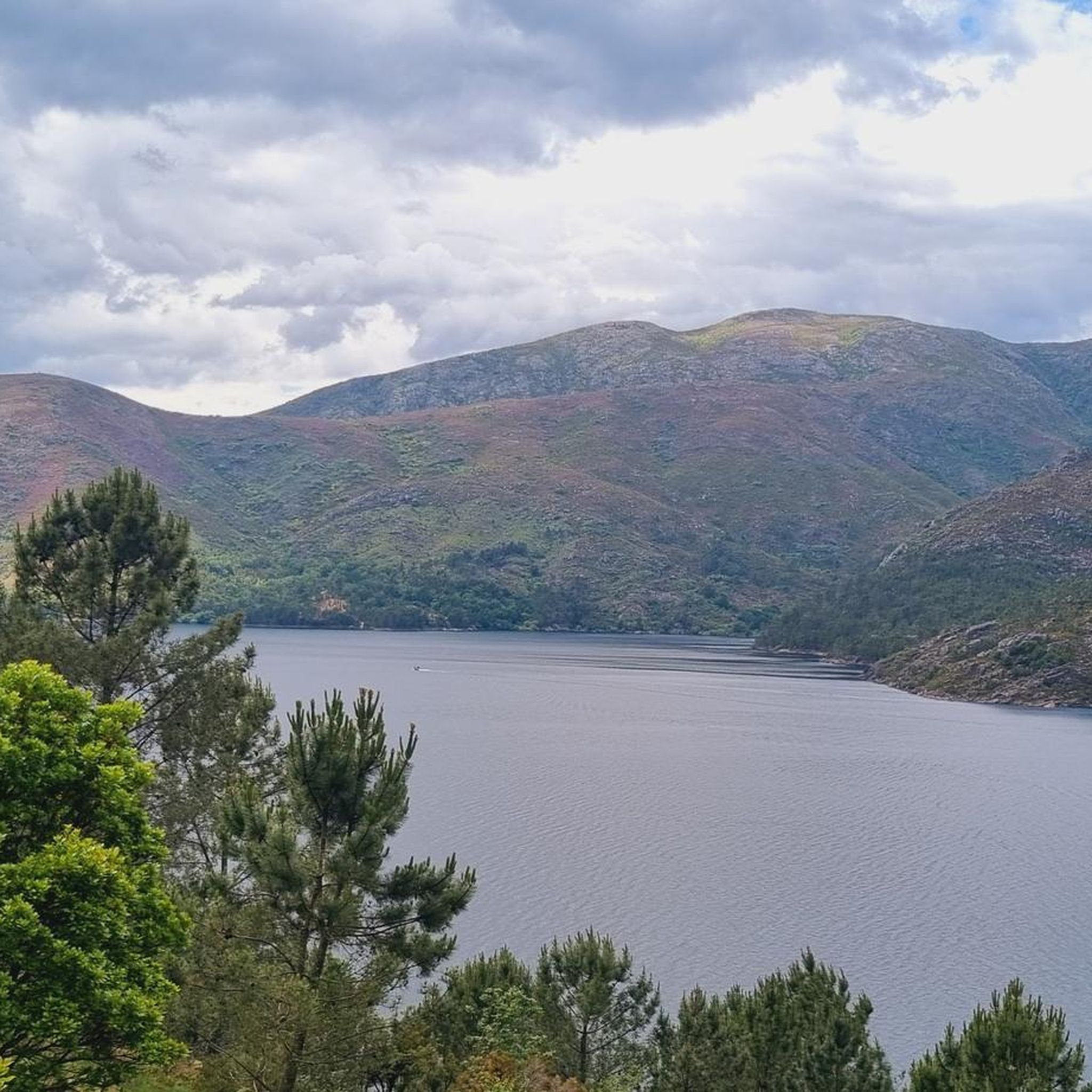
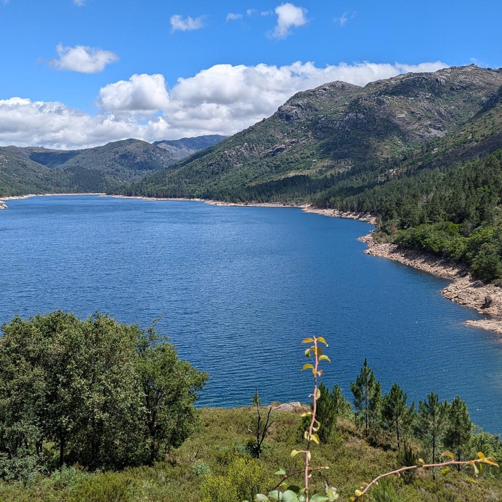
The Bom Jesus das Mós viewpoint is located in the parish of Carvalheira, between the Amarela and Gerês mountains, perched on a small hill that slopes down to the Homem and Rodas rivers. While in front of it, on the horizon, lies the sea of Viana do Castelo, behind it, like a protective entity, rises Monte das Mós, serving as a viewpoint with a unique panoramic view, overlooking the surrounding villages along the entire Ribeira do Homem river. An excellent panorama for those who know how to embrace nature, abounding in rugged forms. Here, with its silence, ruggedness, and immensity, it invites us to experience the sacred and the aesthetic sense of existence.
1
0

Hello, I would like to do this trail but I would like to know if you make stops among the points where you took photos and to know how many minutes you stayed at the points. Thank you for your feedback 😊
0
0
Frequently Asked Questions
How many mountain bike trails are available around Moimenta?
There are over 9 mountain bike trails around Moimenta, offering a variety of experiences for different skill levels. The komoot community has explored these routes over 100 times, providing an average rating of 4.5 stars.
What kind of terrain can I expect on mountain bike trails in Moimenta?
Moimenta's mountain bike trails feature diverse terrain, ranging from hilly and mountainous landscapes to riverine areas. You'll encounter rugged sections in the Serra de Leomil, winding through woodlands and open meadows, as well as routes along rivers like the Paiva and Távora. The scenery is often shaped by ancient chestnut and pine forests, alongside significant granite rock formations.
Are there any trails that feature waterfalls or significant natural landmarks?
Yes, the region boasts several natural attractions. For instance, you can find trails near the Cascata do Ribeiro de Gemesura, a beautiful waterfall. Other notable natural landmarks include the dramatic Fenda da Calcedónia gorge and the impressive Granite Rock Formations of Peneda-Gerês National Park.
What are the general difficulty levels of mountain bike trails in Moimenta?
The trails around Moimenta cater to various abilities. You'll find 3 moderate routes and 6 difficult routes, providing options for both intermediate riders looking for a challenge and experienced mountain bikers seeking demanding climbs and descents.
Are there any longer, more challenging mountain bike routes for experienced riders?
Absolutely. For experienced riders seeking a significant challenge, consider the São Julião Descent – Fojo do Lobo de Gondomar loop from Ponte. This difficult route covers 43.0 km (26.7 miles) with over 1,200 meters of elevation gain, typically taking around 4 hours and 8 minutes to complete.
Can I find circular mountain bike routes in Moimenta?
Yes, many routes in the area are designed as loops. A challenging option is the Bridge over the Cávado River – Ponte do Porto loop from Campo do Gerês, which spans 75.4 km (46.8 miles) and features substantial elevation changes, making for a full day's ride.
What is the best time of year to go mountain biking in Moimenta?
Moimenta offers good mountain biking conditions for much of the year. The region's diverse landscapes, including forests and riverine areas, provide varied microclimates. Spring and autumn generally offer pleasant temperatures and lush scenery, while summer can be warm, especially in open areas. Always check local weather forecasts before heading out.
Are there amenities like cafes or accommodation near the mountain bike trails?
The region of Moimenta, including areas like Moimenta da Beira, integrates natural and cultural heritage. While specific amenities directly on every trail may vary, you'll find traditional villages and towns nearby that offer cafes, restaurants, and accommodation options. Projects like the Parque Paiva Natura also aim to enhance the outdoor experience with facilities.
What do other mountain bikers enjoy the most about mountain biking in Moimenta?
The komoot community highly rates the mountain biking in Moimenta, with an average score of 4.5 stars. Riders often praise the diverse and captivating natural landscapes, the well-developed trail networks, and the blend of challenging terrain with scenic beauty. The presence of ancient forests, granite formations, and river valleys are frequently highlighted.
Are there any specific viewpoints or scenic spots accessible by mountain bike?
The mountainous terrain and river valleys of Moimenta naturally offer numerous scenic viewpoints. Routes often traverse areas with panoramic views of the Serra de Leomil, the Douro valley, and the highlands of Beira Alta. Keep an eye out for elevated sections that provide expansive vistas of the varied landscape, including the granite formations and lush forests.
What are some notable man-made attractions or points of interest near the trails?
Beyond natural beauty, the region has interesting man-made structures. The Caniçada Dam is a significant landmark, and the Vilarinho da Furna Dam also offers a unique point of interest. Many routes also pass through traditional villages, showcasing the region's rich history and cultural elements.
Most popular routes around Moimenta
Most popular attractions around Moimenta

Get inspired with the komoot mobile app


Explore more
Browse the best MTB trails in other regions.
