The best walks and hikes around Vilar Do Chão
4.4
(891)
3,167
hikers
39
hikes
Hiking around Vilar Do Chão, a Portuguese village in the municipality of Vieira do Minho, offers access to diverse landscapes. The area is situated on the western slope of the Serra da Cabreira and along the right bank of the Ave River. This location provides direct access to the Serra da Cabreira mountain range and is a gateway to the Peneda-Gerês National Park. The terrain features waterfalls, natural lagoons, and river beaches, providing varied hiking experiences.
Best hiking trails around…
Last updated: October 11, 2026
4.4
(22)
68
hikers
5.54km
01:53
250m
250m
Hard hike. Great for any fitness level. Sure-footedness, sturdy shoes and alpine experience required.
4.3
(15)
47
hikers
4.79km
01:38
250m
250m
Easy hike. Great for any fitness level. Easily-accessible paths. Suitable for all skill levels.

4.3
(12)
25
hikers
5.25km
01:46
250m
250m
Easy hike. Great for any fitness level. Easily-accessible paths. Suitable for all skill levels.
4.3
(7)
28
hikers
5.34km
01:45
240m
240m
Easy hike. Great for any fitness level. Easily-accessible paths. Suitable for all skill levels.
4.8
(31)
238
hikers
2.92km
00:51
70m
70m
Easy hike. Great for any fitness level. Easily-accessible paths. Suitable for all skill levels.
Get access to more routes and recommendations from other explorers.
Already have an account?
Our route recommendations are based on thousands of hikes, rides, and runs completed by other people on komoot.
Start today with a free account
Your next adventure awaits.
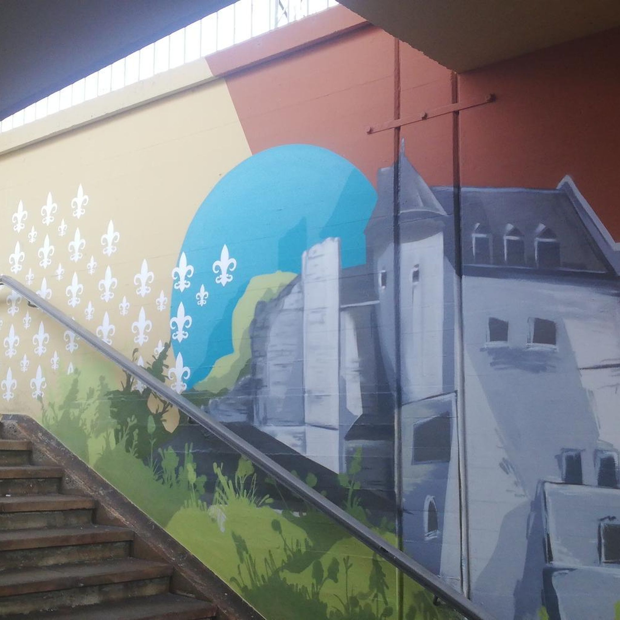
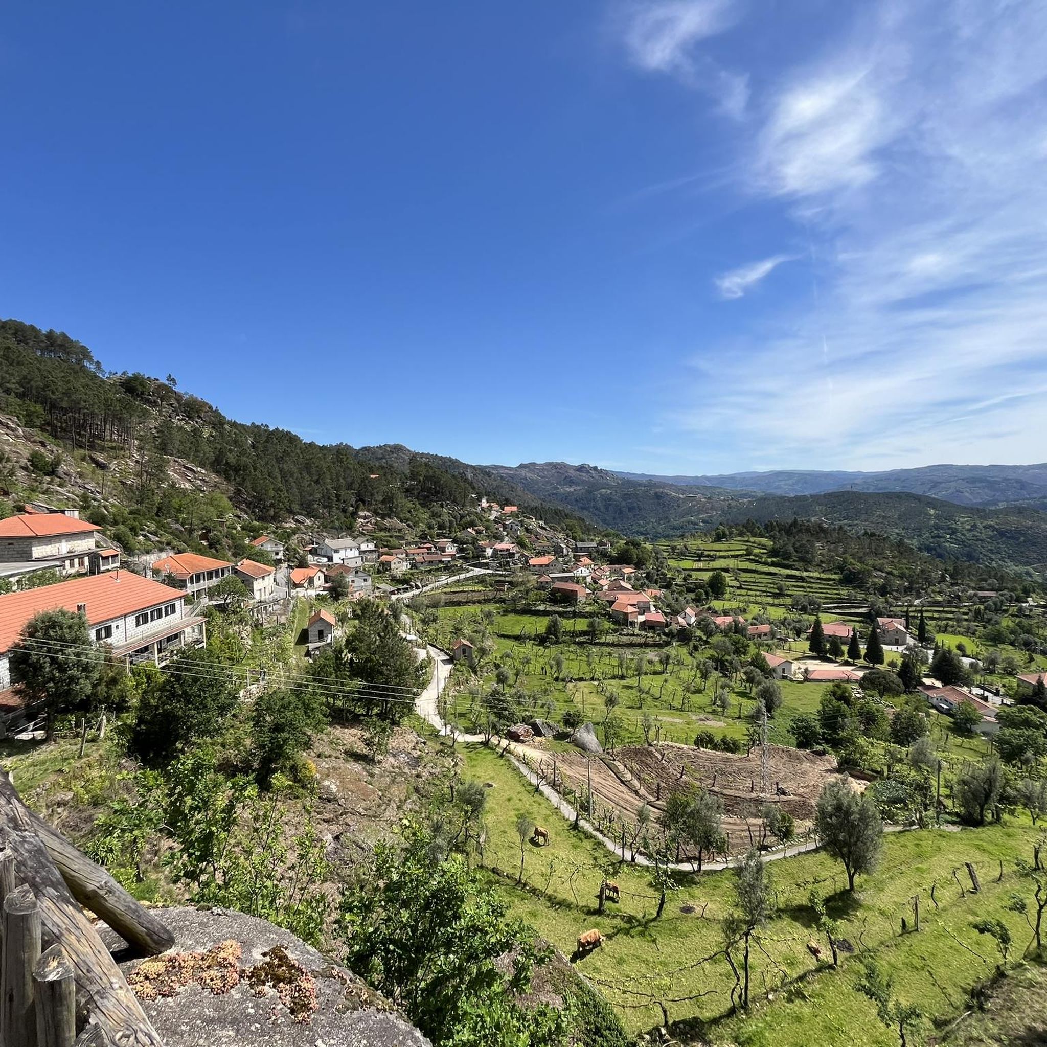
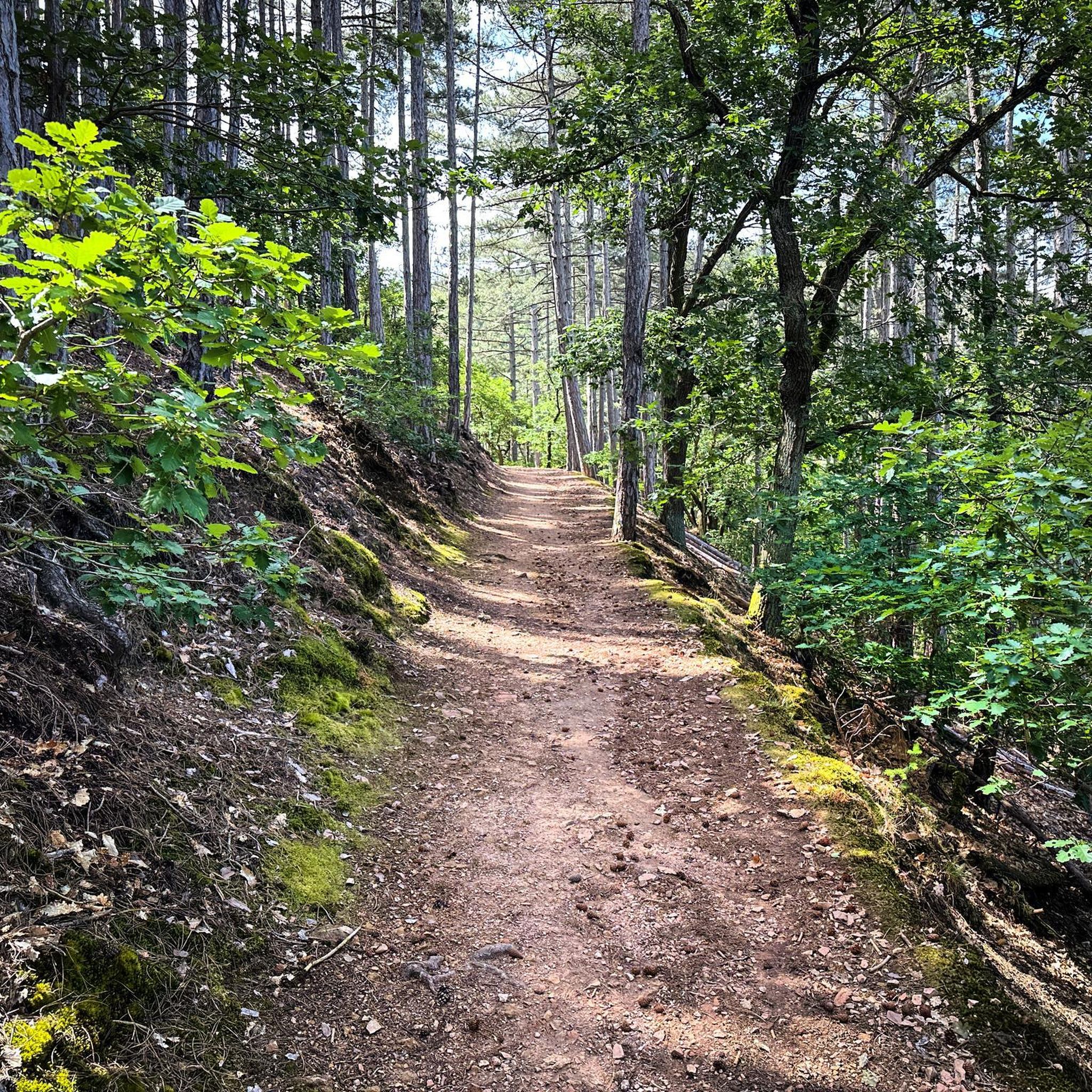
Tips from the Community

Disappointed... I went there in September, naively thinking there wouldn't be many people. It was packed, I didn't stay long. The site is still very beautiful though.
0
0


Fojos are ancient wolf traps. This animal, now protected, was persecuted for centuries due to the fear it instilled in mountain dwellers through its association with the afterlife and its attacks on grazing animals. These structures, now considered cultural heritage, are found only in the north of the Iberian Peninsula. The Fafião Wolf Pit is considered one of the best-preserved in the Iberian Peninsula and represents, for the local community, a symbol of its history and culture, as well as the struggles between humans and wolves.
0
0
This special viewpoint is located in Fafião, a historic village in the parish of Cabril, Montalegre. This viewpoint is unique in that it sits atop a gigantic granite block, connected to another rock by a small iron bridge.
0
0
Poço Verde de Fafião is a stunning lagoon in the Peneda-Gerês National Park, known for its crystal-clear waters and accessible trails that lead to a true natural paradise.
0
0

Warning: This is an extremely dangerous location, with a significant risk of falling. Due to erosion, the rocks are extremely smooth, making them slippery even in dry weather.
0
0
Attention, this is an extremely dangerous place. You can never be too careful.
0
0

Impressive waterfalls with several pools, accessible with a bit of climbing. Some climbing aids have been anchored into the rock. However, since the waterfall is located near a road, you're rarely alone here. And there have been fatalities here, as the climb down to the lagoons is not without its dangers.
1
0
Frequently Asked Questions
How many hiking trails are available around Vilar Do Chão?
There are over 40 hiking routes around Vilar Do Chão, offering a wide range of experiences from easy strolls to challenging mountain ascents. The area provides access to the Serra da Cabreira and is a gateway to the Peneda-Gerês National Park.
What kind of terrain can I expect on hikes near Vilar Do Chão?
The terrain around Vilar Do Chão is diverse, ranging from the rugged mountain landscapes of the Serra da Cabreira with its granite cliffs and panoramic viewpoints, to lush river valleys along the Ave River. You'll find trails leading through oak groves, past waterfalls, natural lagoons, and along river beaches.
Are there any easy hiking trails suitable for beginners or families?
Yes, Vilar Do Chão offers 12 easy hiking routes. An excellent option is the Trail to Pincães Waterfall – Pincães Waterfall loop from Cabril, which is 1.8 miles (2.9 km) long and leads to the scenic Pincães Waterfall. Another easy choice is the Hiking loop from Fafião, a 3.0 miles (4.8 km) trail through a picturesque area.
Where can I find waterfalls on the hiking trails?
Vilar Do Chão is known for its beautiful waterfalls. You can visit the Pincães Waterfall via the Trail to Pincães Waterfall – Pincães Waterfall loop from Cabril. For a more challenging experience, the Tahiti Waterfall – Varzeas Waterfall loop from Fafião explores the area around Tahiti Waterfall and Varzeas Waterfall. Other notable waterfalls in the region include Fecha de Barjas Waterfall (Tahiti) and Ponte da Misarela and Waterfall.
Are there any circular hiking routes available?
Yes, many routes around Vilar Do Chão are circular. Examples include the Trail to Pincães Waterfall – Pincães Waterfall loop from Cabril, the Tahiti Waterfall – Varzeas Waterfall loop from Fafião, and the Hiking loop from Fafião. These loops allow you to start and end at the same point, making logistics easier.
What are some notable landmarks or natural features to look out for?
The region is rich in natural and historical landmarks. In the Serra da Cabreira, you can find ancient archaeological sites, traditional shepherd huts, and the unique 'Fojos do Lobo' (ancient wolf hunting traps). The Peneda-Gerês National Park offers dramatic granite cliffs and vast forests. Along the Ave River, look for the Ribeiro e moinhos da Pértega (Pértega stream and mills) and the Penedo da Pinga, a rock known for continuously dripping water. You can also visit View of Ponte Saltadouro.
What do other hikers say about the trails in Vilar Do Chão?
The hiking routes in Vilar Do Chão are highly rated by the komoot community, with an average score of 4.5 stars from over 690 reviews. Hikers often praise the diverse landscapes, the beauty of the waterfalls, and the opportunity to explore both the Serra da Cabreira and the Peneda-Gerês National Park.
Are there any opportunities for swimming or water activities after a hike?
Yes, the region offers several spots for water activities. The wider Vieira do Minho municipality features the Caniçada and Ermal Reservoirs, which are popular for water sports and have refreshing river beaches. You can also find river beaches along the Ave River and within the Vieira do Minho Forest Park. Consider visiting Alqueirão Beach (Gerês beach) or Albufeira da Caniçada.
Can I access trails that lead into the Peneda-Gerês National Park from Vilar Do Chão?
Vilar Do Chão serves as a convenient gateway to the Peneda-Gerês National Park, Portugal's only national park. Many trails in the vicinity will lead you into or provide access to this expansive natural paradise, known for its vast forests, dramatic cliffs, and numerous rivers and waterfalls.
What is the best time of year to go hiking in Vilar Do Chão?
The region around Vilar Do Chão offers pleasant hiking conditions for much of the year. Spring and autumn generally provide mild temperatures and vibrant scenery, making them ideal. Summer can be warm, but the presence of waterfalls, natural lagoons, and river beaches offers opportunities to cool down. Winter hiking is also possible, especially at lower elevations, though higher mountain trails might require more preparation.
Are there any challenging hikes for experienced hikers?
Yes, Vilar Do Chão offers 15 difficult hiking routes for experienced hikers. A notable challenging option is the Tahiti Waterfall – Varzeas Waterfall loop from Fafião, a 3.4 miles (5.5 km) path that explores the area around two impressive waterfalls and involves significant elevation changes.
Most popular attractions around Vilar Do Chão

Get inspired with the komoot mobile app


Explore more
Browse the best Hikes in other regions.
