The best road cycling routes around França
4.2
(10)
361
riders
10
rides
Road cycling routes around França navigate a landscape characterized by significant elevation changes, with routes featuring challenging climbs and descents. The region includes diverse terrain, from loops around dams and lakes to paths connecting historic villages. Road cyclists can expect to encounter varied topography, including hilly sections and routes that traverse border regions. The area offers a network of roads suitable for demanding cycling experiences.
Best road cycling routes around França
- The most popular road cycling route is Porto and…
Last updated: May 16, 2026
2
riders
97.5km
05:01
1,690m
1,690m
This difficult 60.6-mile (97.5 km) road cycling route takes you through rugged landscapes, glacial lakes, and charming villages.
5.0
(3)
25
riders
47.7km
02:35
950m
950m
Hard road ride. Very good fitness required. Mostly well-paved surfaces and easy to ride.

Sign up for free
3.5
(2)
19
riders
55.6km
02:57
1,050m
1,050m
Hard road ride. Very good fitness required. Mostly well-paved surfaces and easy to ride.
5.0
(1)
24
riders
114km
05:37
1,740m
1,740m
Hard road ride. Very good fitness required. Some segments of this route may be unpaved and difficult to ride.
21
riders
65.7km
03:21
1,130m
1,130m
Hard road ride. Very good fitness required. Mostly well-paved surfaces and easy to ride.
Get access to more routes and recommendations from other explorers.
Sign up for free
Already have an account?
Our route recommendations are based on thousands of hikes, rides, and runs completed by other people on komoot.
Start today with a free account
Your next adventure awaits.
Login or Signup

Tips from the Community

a spectacular area for nature sports
0
0

Rio de Onor is not just a beautiful village; it's a "living museum" of a way of life that has almost disappeared in Europe. It's worth visiting because it is possibly the village with the most fascinating social history in Portugal. Here are the 4 main reasons to go there: 1. It's a Community Village ("Communitarianism") This is Rio de Onor's great trademark. For centuries, the village lived under a system of total sharing among neighbors, something very rare: Sharing of Goods: The bread oven, the watermill, and even the village bull belonged to everyone. The "Rod of Justice": Decisions and fines for infractions in the village were marked on a wooden rod, managed by the "judge" elected by the people. You can see this history explained at the Casa do Touro (House of the Bull), a small, unmissable museum in the village. 2. One Village, Two Countries Rio de Onor is a village bisected by the international border. On this side is Rio de Onor (Portugal); on the other side is Rihonor de Castilla (Spain). For the inhabitants, the border never really existed: they share land, livestock, and even speak their own dialect (Rionorês), an ancient mixture of Portuguese and Castilian. It's very curious to cross from one country to the other on foot in the middle of the main street. 3. The Schist Landscape and Nature Located in the Montesinho Natural Park, the village is visually stunning. The houses are made of dark schist with wooden balconies, typical of Trás-os-Montes, and are very well preserved. The Onor River, which crosses the village, has clear waters and creates a very pleasant natural river beach in the summer, perfect for picnics. 4. The "Roman" Bridge The old stone bridge (which is actually from the 19th century, despite its popular name) is the village's postcard image. The reflection of the arches in the water with the schist houses in the background creates one of the most photogenic landscapes in Northern Portugal. Visiting Rio de Onor is like stepping back in time and understanding how communities survived in isolation in the mountains, supporting each other. It's a lesson in life and history in an incredible natural setting.
2
0

Guadramil, lost among the mountains of the Montesinho Natural Park, is one of the most isolated villages in Portugal, so remote that not even a mobile phone signal can reach it. Located in the district of Bragança, it preserves the charm of the most authentic villages in Trás-os-Montes.
1
0
In the heart of the Montesinho Natural Park, Praia Fluvial de França stretches out peacefully along the banks of the Sabor River. Unsupervised, but perfect for a peaceful swim, it is also the ideal place for picnics, with a welcoming and well-equipped picnic area. A simple yet charming retreat.
3
0

It is not known when the castle was built or which monarch ordered it, however some authors argue that it was King D. Dinis, since there are references to works in Praça de Vinhais with the construction of some towers during his reign. Due to its border location, the castle had great military importance, as the territory had always been coveted by neighboring monarchs.
0
0
The walls of Vinhais date back to the time of the Roman invasion. Later, the Suebi or Visigoths reinforced and broadened the defensive line in the context of the Muslim invasion of the Iberian Peninsula. During the reign of King Denis of Portugal, the oval fence of the village was finished, with six towers, two of them flanking the main gate and one other, also integrated in the fence, functioning as a keep and an alcove. The castle's configuration, currently very dilapidated, would have a medieval image, in a late Gothic style. Already during the reign of King Manuel I of Portugal the degradation of the walls and of some towers was remarkable. Some bases of the old towers, a portal with a Gothic arch and a section of the barbican still remain.
0
0

Rio de Onor is a sleepy little village right on the Portugal/Spain border. The drive through it is a challenging one and absolutely not recommended for larger campervans.
3
1
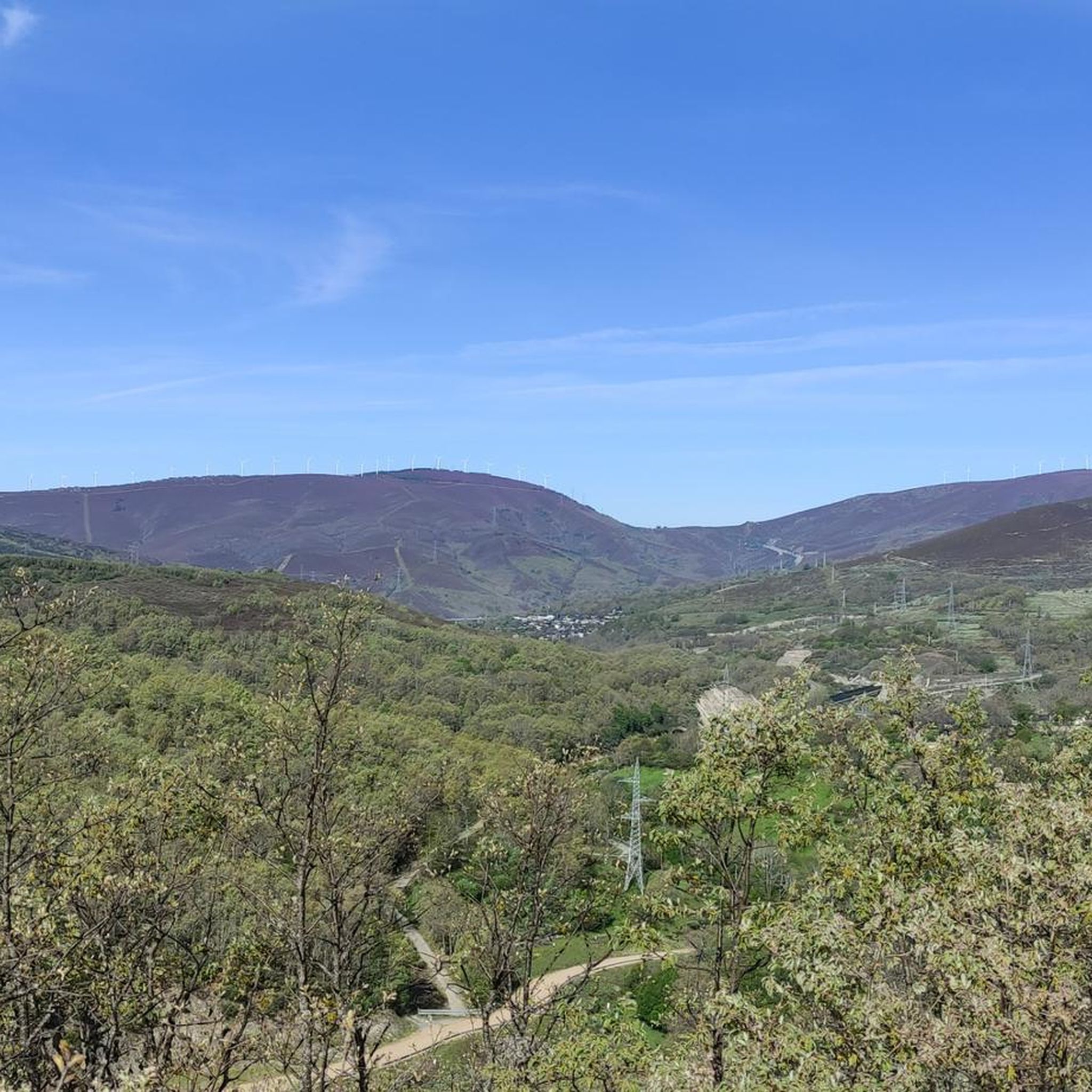
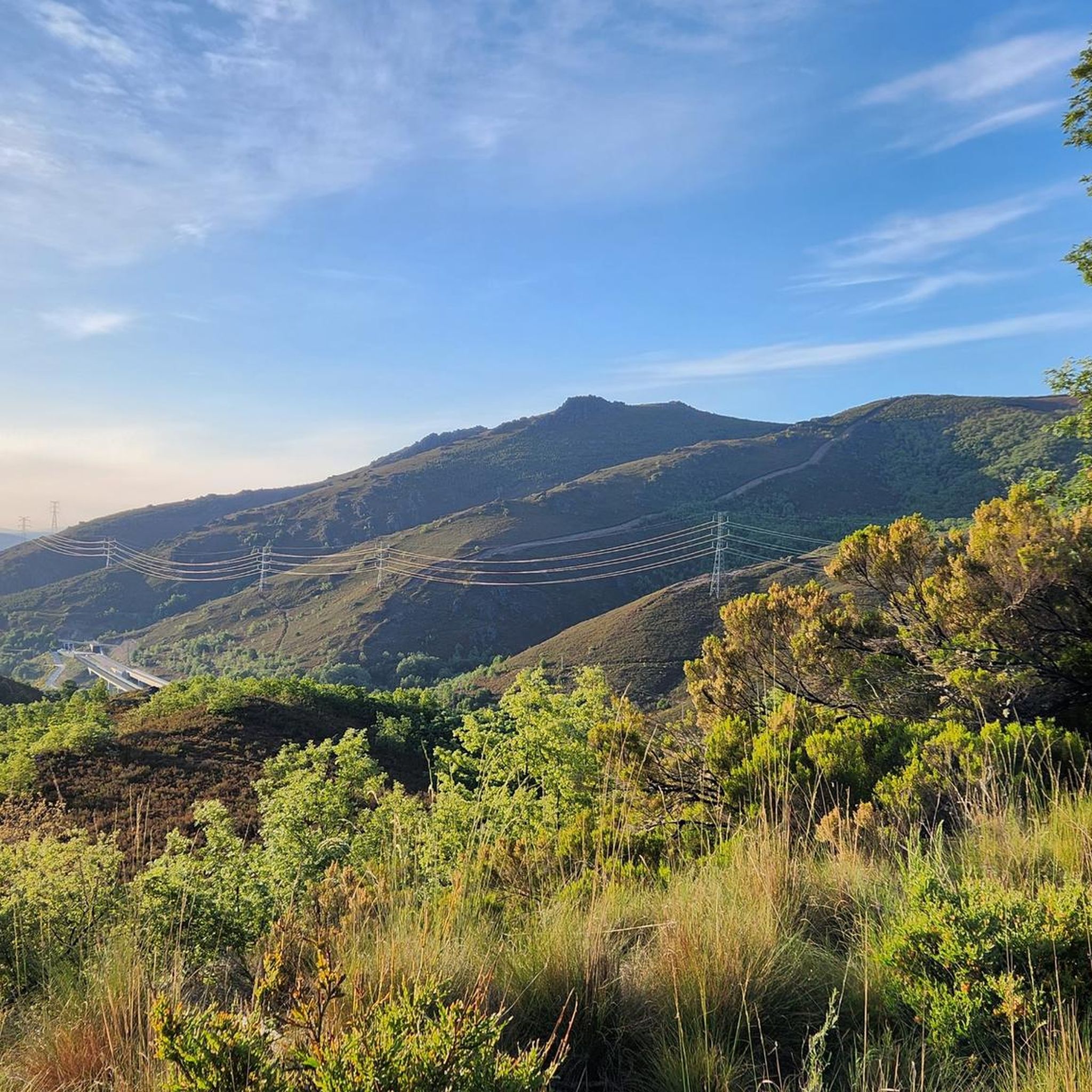
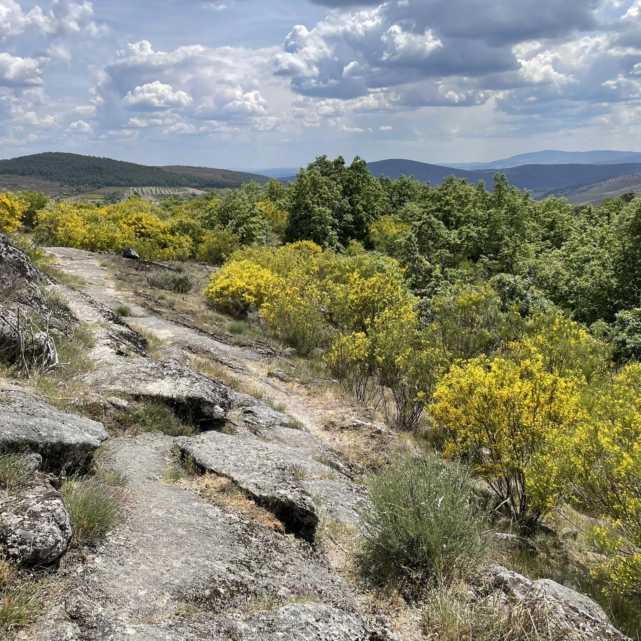
The Montesinho Natural Park covers an area of approximately 75 thousand hectares and is located in the Terra Fria Transmontana region, in the extreme northeast of Portugal, bordering the Spanish communities of Galicia and Castile-Leon. It covers the territories of two municipalities, namely Bragança and Vinhais. As a curiosity, you should know that there are more than 90 villages within the Montesinho Natural Park and that the highest point in the park is the Serra do Montesinho, whose peak is 1,486 metres above sea level.
3
0
Frequently Asked Questions
What kind of terrain can I expect when road cycling around França?
Road cycling routes around França are characterized by significant elevation changes, featuring challenging climbs and descents. You'll encounter diverse topography, including hilly sections and routes that traverse border regions, offering a demanding cycling experience.
Are there many challenging road cycling routes in França?
Yes, França is known for its challenging road cycling. Out of the 10 routes listed, 8 are rated as difficult. For instance, the Porto and San Sebastián Dam Loop from Lubián features over 1,690 meters of elevation gain, and the Lake Sanabria – Puebla de Sanabria loop from Bragança includes over 1,730 meters of climbing.
What are some scenic viewpoints or natural attractions I can see while cycling in França?
While cycling in França, you can enjoy scenic landscapes within the Parque Natural de Montesinho. Routes often pass by natural features like the Serra Serrada Reservoir and offer views of the Montesinho Hills. Some routes also traverse dam areas, providing picturesque views.
Are there any circular road cycling routes available in França?
Yes, many of the routes in França are circular. Examples include the Porto and San Sebastián Dam Loop from Lubián, the França – Montesinho Village loop from Bragança, and the Historic Center of Vinhais – Vinhais Castle loop from Bragança, all designed as loops for a continuous ride.
What historical sites or villages can I explore along the road cycling routes?
Several routes connect historic villages and sites. For instance, the Historic Center of Vinhais – Vinhais Castle loop from Bragança takes you through historic centers and past Bragança Castle. Another route, Rio de Onor Village – El Carbaxón Dirt Road loop from Castro de Sacóias, passes through the notable Rio de Onor Village.
How long do road cycling routes in França typically take to complete?
The duration varies depending on the route's length and difficulty. For example, the Porto and San Sebastián Dam Loop from Lubián, at 97.5 km, typically takes around 5 hours. A shorter route like the Historic Center of Vinhais – Vinhais Castle loop from Bragança (66.2 km) can be completed in about 3 hours 23 minutes.
Are there any easy or beginner-friendly road cycling routes in França?
The road cycling routes in França are primarily designed for experienced cyclists seeking demanding terrain. The guide data indicates that 8 out of 10 routes are rated as difficult, with the remaining 2 being moderate. There are currently no routes classified as easy for beginners.
What do other road cyclists say about their experience in França?
The road cycling routes in França are highly rated by the komoot community, with an average score of 4.2 stars from over 10 reviews. Cyclists often praise the challenging climbs, scenic dam loops, and the opportunity to connect historic villages within the varied terrain.
What is the best time of year for road cycling in França?
While specific seasonal data for França isn't provided, France generally offers excellent road cycling conditions from spring through autumn. Mountainous regions like those around França are best enjoyed outside of winter to avoid snow and ice on higher passes. Late spring and early autumn often provide pleasant temperatures and less traffic.
Are there any routes that explore the border regions around França?
Yes, some road cycling routes in França traverse border regions, offering unique cross-cultural experiences and varied landscapes. The region's location lends itself to routes that connect areas on both sides of the border, providing diverse cycling opportunities.
How many road cycling routes are featured in the França guide?
The guide features 10 distinct road cycling routes around França, offering a range of challenging experiences for cyclists.
Can I find routes that combine natural beauty with cultural exploration?
Absolutely. Routes like the Lake Sanabria – Puebla de Sanabria loop from Bragança offer extensive cycling around a lake while also passing through a historic town. Similarly, the Historic Center of Vinhais – Vinhais Castle loop from Bragança combines cultural landmarks with scenic rides.
Most popular attractions around França

Get inspired with the komoot mobile app


Explore more
Browse the best Road cycling routes in other regions.
