The best walks and hikes around Covilhã (São Martinho)
4.3
(242)
823
hikers
33
hikes
Hiking around Covilhã (São Martinho) offers a diverse landscape at the foot of the Serra da Estrela mountain range in Portugal. The region features a mix of forested paths, elevated viewpoints, and trails that traverse varying elevations. Hikers can expect routes that explore natural parks and provide panoramic vistas of the surrounding area.
Best hiking trails around Covilhã (São Martinho)
- The most popular hiking route is Forest Ranger's House loop from Covilhã, a 3.8 miles (6.1 km) trail that…
Last updated: August 4, 2026
4.4
(5)
16
hikers
10.9km
03:07
250m
250m
Moderate hike. Good fitness required. Easily-accessible paths. Suitable for all skill levels.
4.5
(8)
20
hikers
6.08km
01:56
240m
240m
Easy hike. Great for any fitness level. Easily-accessible paths. Suitable for all skill levels.

Sign up for free
3.8
(4)
9
hikers
10.4km
03:01
260m
260m
Moderate hike. Good fitness required. Easily-accessible paths. Suitable for all skill levels.
4.2
(5)
11
hikers
4.21km
01:11
80m
80m
Easy hike. Great for any fitness level. Easily-accessible paths. Suitable for all skill levels.
4.5
(4)
11
hikers
11.6km
03:37
450m
450m
Moderate hike. Good fitness required. Easily-accessible paths. Suitable for all skill levels.
Get access to more routes and recommendations from other explorers.
Sign up for free
Already have an account?
Our route recommendations are based on thousands of hikes, rides, and runs completed by other people on komoot.
Start today with a free account
Your next adventure awaits.
Login or Signup


Tips from the Community

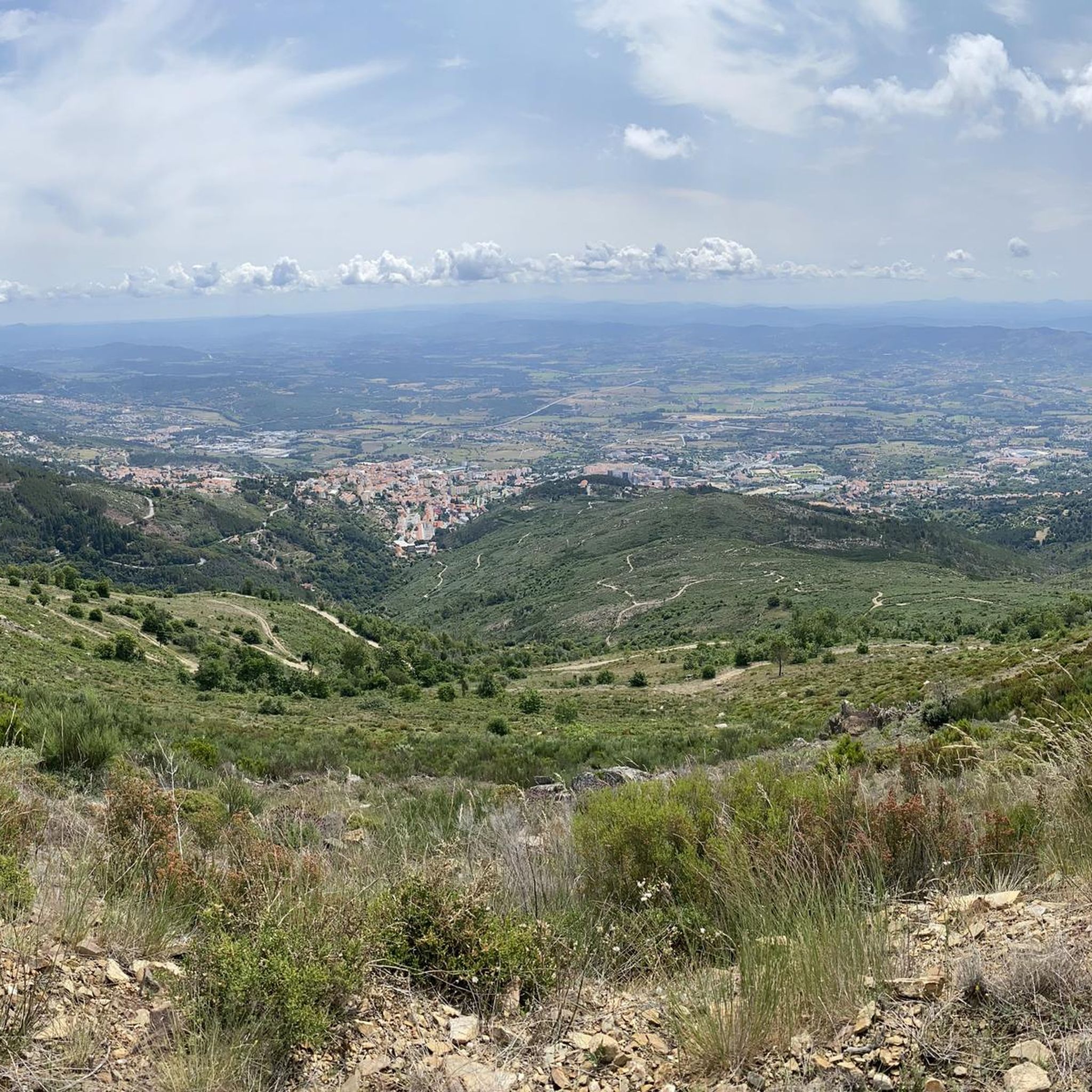
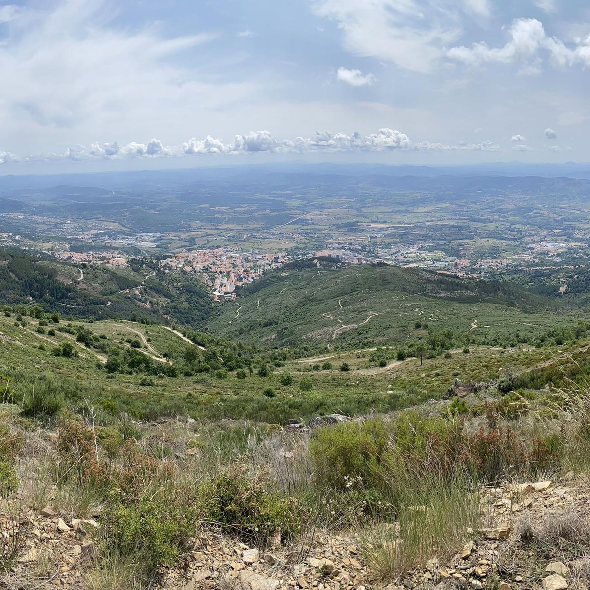
View of the valley. Walk back the same way
0
0

The Miradouro do Alto dos Livros is a privileged observation point in the Serra da Estrela, Portugal. Its curious name, "Belvedere del Alto dos Livros", suggests a high place where the landscape unfolds like the pages of an open book. This viewpoint offers breathtaking panoramic views of the surrounding region, encompassing deep valleys, imposing peaks and the vastness of the mountain range. It is a perfect place to contemplate the natural beauty of the Serra da Estrela, especially at sunrise or sunset, when the colors of the sky enhance the landscape even more.
0
0

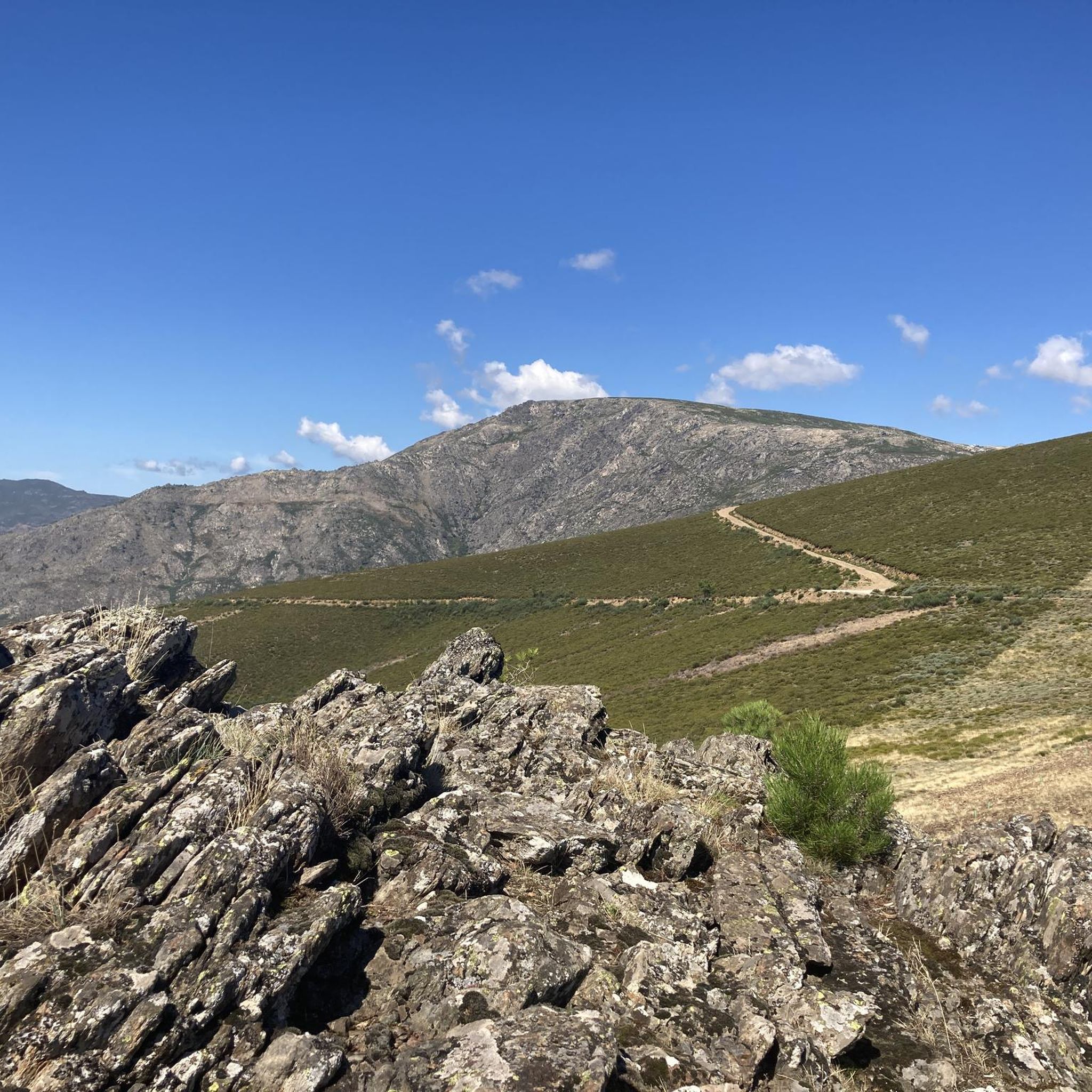
Superb route done in snow. Not a very interesting start on the road, but once you're on the trails, it's magnificent all the way to the summit!
2
1

The little tower is easily accessible and is also good for taking a break in the shadow of the bit rocks
4
0

Unmissable place, panoramic view of the Cova da Beira-Covilhã. Itinerary recommended for people with good preparation and physical endurance.
2
0

A safe haven, day and night, summer or winter.
2
0

This is the former forest house.
1
0

Great vantage point with a 360 degree view of the Serra da Estrela and the highest plateau with the Torre
5
0
Frequently Asked Questions
How many hiking trails are available around Covilhã (São Martinho)?
There are over 30 hiking routes in the Covilhã (São Martinho) area, offering a diverse range of experiences from easy strolls to more challenging mountain paths. You'll find options suitable for various fitness levels.
Are there any easy or family-friendly hiking trails in Covilhã (São Martinho)?
Yes, the region offers 8 easy trails perfect for families or beginners. A great option is the Hiking loop from Penhas da Saúde, which is 2.6 miles (4.2 km) long and leads through mountain terrain, typically completed in about 1 hour 10 minutes.
What are the typical lengths of hikes in Covilhã (São Martinho)?
Hikes in Covilhã (São Martinho) vary in length. For example, the Forest Ranger's House loop from Covilhã is 3.8 miles (6.1 km), while the Poios Brancos Viewpoint loop from Penhas da Saúde extends to 6.5 miles (10.4 km). You can find routes ranging from short walks to longer excursions.
Are there circular hiking routes available?
Yes, many of the trails in Covilhã (São Martinho) are circular, allowing you to start and end at the same point. The Jardim do Lago – Mermaid Statue loop from Covilhã is a moderate 8.1 km (5 miles) circular route that offers a pleasant experience.
What kind of viewpoints can I expect on the trails?
The region is known for its elevated viewpoints, especially in the higher elevations near Penhas da Saúde. You can enjoy expansive vistas from spots like the View of the Zêzere Glacial Valley or the View of Vale Glaciar do Zêzere from Caminho dos Poios. The Poios Brancos Viewpoint loop from Penhas da Saúde specifically highlights a prominent viewpoint.
Are there any waterfalls or wild swimming spots along the hiking routes?
Yes, the area features natural attractions like the Hidden cascade at Poço do Inferno, which is a notable waterfall. While specific wild swimming spots aren't always marked, the presence of the Beijames River Valley and Covão do Ferro Lake suggests opportunities for enjoying natural waters, though caution is always advised.
What is the best season for hiking in Covilhã (São Martinho)?
The spring and autumn months generally offer the most pleasant hiking conditions with mild temperatures and vibrant landscapes. Summer can be warm, especially at lower elevations, while winter hiking in the Serra da Estrela foothills can be beautiful but requires appropriate gear for colder, potentially snowy conditions.
What should I bring for a hike in this region?
Given the varied terrain and mountain environment, it's advisable to bring sturdy hiking boots, layers of clothing, water, snacks, sun protection, and a map or GPS device. For higher elevations or winter hikes, consider waterproof gear and extra warm layers.
What do other hikers enjoy most about hiking in Covilhã (São Martinho)?
The area is highly rated by the komoot community, with an average score of 4.3 stars from over 190 reviews. Reviewers often praise the diverse landscapes, from dense woodlands to scenic viewpoints, and the well-maintained trails that cater to different ability levels.
Are there any notable landmarks or natural monuments to explore?
Absolutely. Beyond the trails, you can explore significant natural monuments such as Cântaro Magro and the highest point in mainland Portugal, Torre (Serra da Estrela Summit). There's also the historical site of Casa do Juiz (Nave da Mestra).
Is public transport available to reach hiking trailheads?
While some trailheads might be accessible by local bus services from Covilhã, many routes, especially those deeper into the Serra da Estrela, are best reached by car. It's recommended to check local transport schedules for specific destinations if you plan to rely on public transport.
Is parking generally available at trailheads?
For many popular trailheads, particularly those near towns like Covilhã or Penhas da Saúde, you can usually find designated parking areas. However, during peak seasons or for more remote routes, parking might be limited, so it's wise to arrive early or plan accordingly.
Most popular routes around Covilhã (São Martinho)
Most popular attractions around Covilhã (São Martinho)

Get inspired with the komoot mobile app


Explore more
Browse the best Hikes in other regions.
