The best walks and hikes around Paul
4.3
(129)
362
hikers
5
hikes
Hiking around Paul, Portugal, offers access to the diverse landscapes of the Serra da Estrela Natural Park. The region is characterized by high-altitude plateaus, glacial valleys, and mountain peaks, providing varied terrain for outdoor activities. Trails often feature granite formations, mountain lakes, and open moorland, with elevations reaching significant heights within the park.
Best hiking trails around Paul
- The most popular hiking route is Circular do Planalto Superior — circular route in Serra da Estrela, a 5.5 miles (8.9 km) trail that takes 2 hours 40 minutes to complete. This route explores the high plateau landscape of Serra da Estrela.
- Another top favourite among local hikers is Torre Summit, Serra da Estrela – View of Cântaro Gordo loop from Serra da Estrela, a moderate 7.4 miles (12.0 km) path. This trail offers views of the highest point in mainland Portugal and its surrounding valleys.
- Local hikers also love the Covão do Curral Dam – Covão do Ferro Lake loop from Serra da Estrela, a 3.2 miles (5.1 km) trail leading through glacial valleys and past mountain lakes, often completed in about 1 hour 34 minutes.
- Hiking around Paul is defined by mountain plateaus, glacial valleys, and high-altitude trails. The network offers options for different ability levels, from easy loops around lakes to more challenging ascents.
- The routes in Paul are highly rated by the komoot community with an average score of 4.4 stars from over 90 reviews. More than 300 hikers have used komoot to explore Paul's varied terrain.
Last updated: October 11, 2026
4.5
(27)
96
hikers
8.89km
02:41
300m
300m
Moderate hike. Good fitness required. Easily-accessible paths. Suitable for all skill levels.
5.0
(3)
12
hikers
7.65km
03:35
1,300m
10m
Hard hike. Very good fitness required. Easily-accessible paths. Suitable for all skill levels.

4.4
(31)
71
hikers
5.35km
01:38
180m
180m
Easy hike. Great for any fitness level. Easily-accessible paths. Suitable for all skill levels.
4.5
(13)
46
hikers
Moderate hike. Good fitness required. Mostly accessible paths. Sure-footedness required.
3.8
(4)
14
hikers
Moderate hike. Good fitness required. Mostly accessible paths. Sure-footedness required.
Our route recommendations are based on thousands of hikes, rides, and runs completed by other people on komoot.
Start today with a free account
Your next adventure awaits.

Tips from the Community

The 7-meter-high statue serves as the patron saint for local shepherds and their flocks in the rugged mountains.
7
0
Centrally located in the park and easily accessible via a beautiful, paved road is the Torre. This is the highest point of the Serra da Estrela mountain range; nowhere in continental Portugal can you go higher. Actually, the highest point is at 1,993 meters. A small tower of 7 meters on top of the mountain completes the 2,000 meters.
6
0

The Torre is the highest point of Continental Portugal, at 1,993 meters above sea level. It is located in the heart of the Serra da Estrela Natural Park and serves as the dividing line between the municipalities of Seia, Manteigas, and Covilhã. To reach the round 2,000 meters, King D. João VI had a stone monument built at the top of the plateau in the early 19th century.👍🥾
0
0

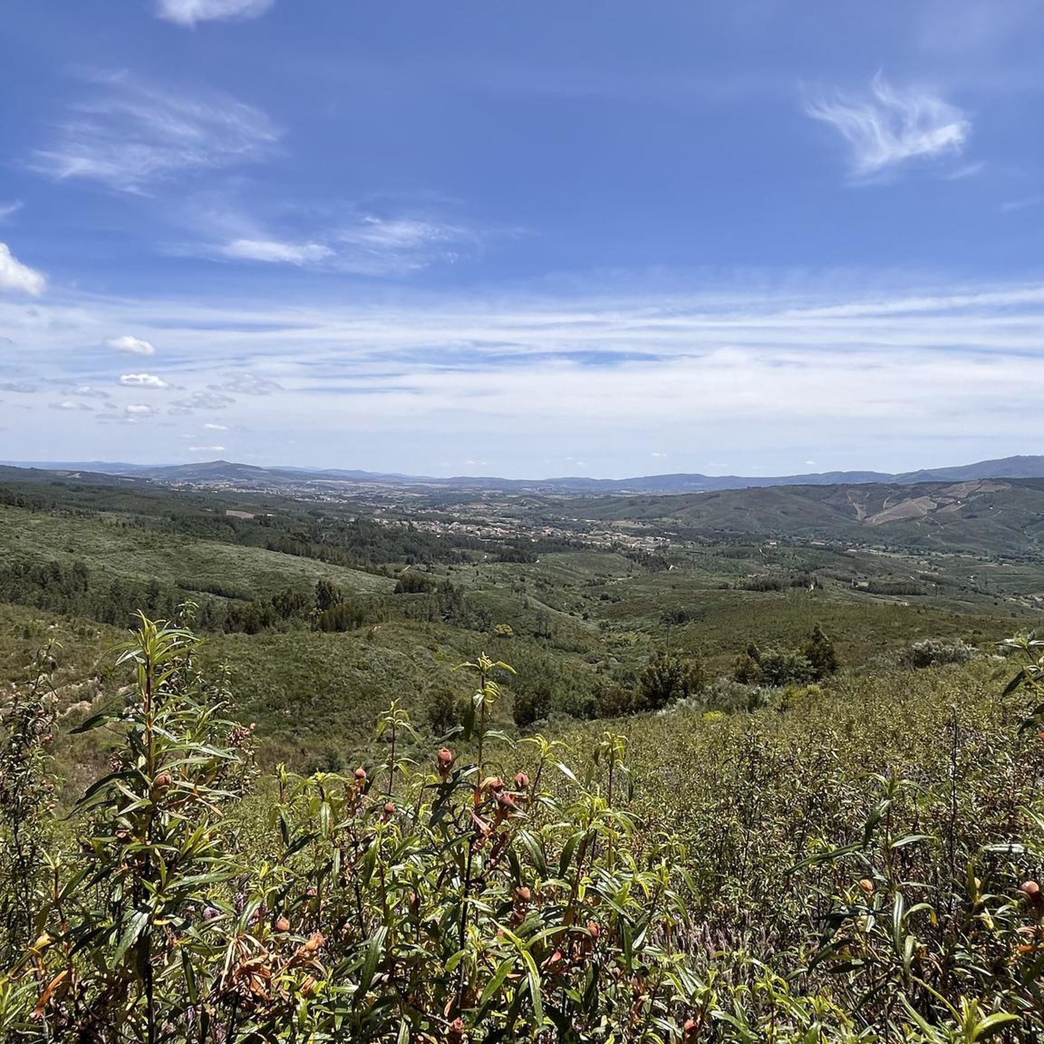
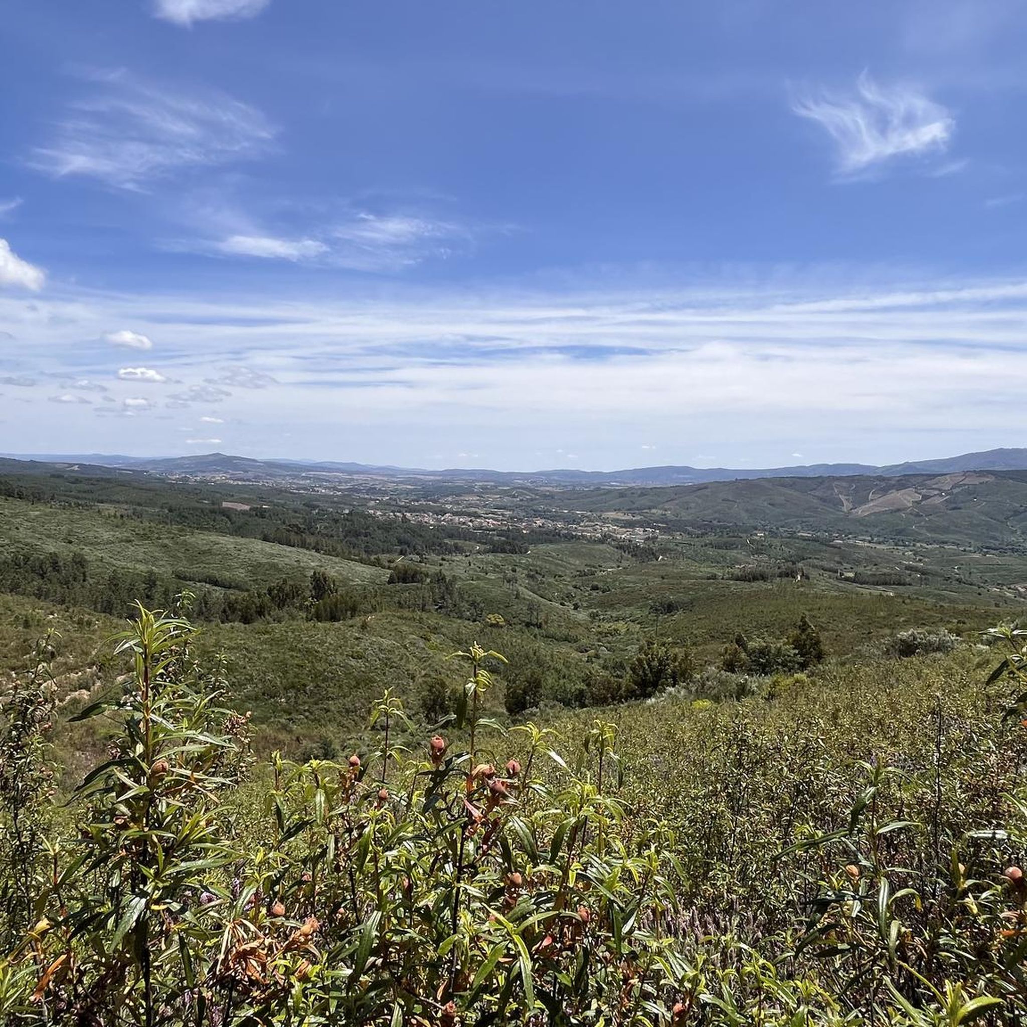
Next to the Nave de Santo António, the Covão do Ferro or Padre Alfredo dam, inaugurated in 1956, uses a glacial cirque and collects water from the Alforfa stream. It was commissioned by Father Alfredo to supply electricity to the wool industry in Unhais da Serra. Unhais da Serra can be seen in the background.
2
0

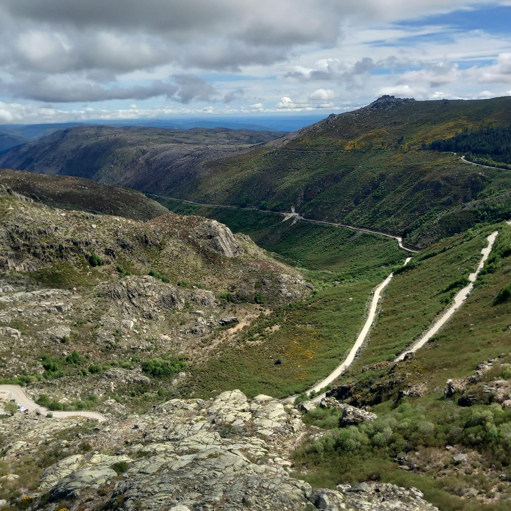
The Serra da Estrela Natural Park is something truly special. This 1,000-square-kilometer park, spread across six municipalities, was the first and currently the largest protected natural park in Portugal. It is home to the highest point on the Portuguese mainland, the country's only ski slope, the source of two important rivers, and a fascinating, alpine-like landscape formed by glaciers.
5
1
At exactly 1993 meters above sea level, Torre is the highest point in mainland Portugal, where the only ski resort is located. The landscape on the upper plateau of the Serra da Estrela is like a sprinkling of granite rocks over low scrub and patches of snow and ice, which the sun threatens to melt soon in the summer and which always returns the following winter. In winter, it sometimes becomes inaccessible.
6
0

This trail is short in distance but huge in challenge. Known as the vertical kilometre of Alvoco, it takes you to conquer a thousand metres of elevation in less than four kilometres, a real climb towards the top of Serra da Estrela. However, it is not at all technically difficult. Each step is demanding, but from the first metres, the reward is the breathtaking views.
3
0
Nestled at an altitude of 684 metres, Alvoco da Serra is a mountain gem that stretches along the south-western slope of the highest mountain in mainland Portugal. This picturesque village is the closest to the mythical Torre, the highest point in the Serra da Estrela.
1
0
Frequently Asked Questions
What kind of landscapes can I expect when hiking around Paul?
Hiking around Paul offers access to the diverse landscapes of the Serra da Estrela Natural Park. You can expect high-altitude plateaus, glacial valleys, and mountain peaks. Trails often feature granite formations, mountain lakes, and open moorland, with elevations reaching significant heights within the park.
Are there hiking trails suitable for beginners or families in Paul?
Yes, there are options for various ability levels. Komoot features 2 easy routes around Paul. An excellent choice for a more relaxed walk is the Covão do Curral Dam – Covão do Ferro Lake loop from Serra da Estrela, which leads through glacial valleys and past mountain lakes.
Are there any circular hiking routes available in Paul?
Yes, Paul offers circular hiking routes. A popular option is the Circular do Planalto Superior — circular route in Serra da Estrela, which explores the high plateau landscape of Serra da Estrela.
What are some of the most scenic hiking trails around Paul?
For breathtaking views, consider the Torre Summit, Serra da Estrela – View of Cântaro Gordo loop from Serra da Estrela. This trail offers panoramic views from the highest point in mainland Portugal and its surrounding valleys.
What do other hikers enjoy the most about hiking in Paul?
The area is highly rated by the komoot community, with an average score of 4.4 stars from over 90 reviews. Hikers often praise the varied terrain, from mountain plateaus to glacial valleys, and the well-maintained trails that offer options for different ability levels.
What are some notable landmarks or attractions I can see near the hiking trails?
Near the hiking trails, you can explore several interesting points. The Torre (Serra da Estrela Summit) is a significant landmark. You might also encounter a Stone shelter with fireplace in the Serra da Estrela, or enjoy views from the Miradouro do Alto dos Livros.
Are there any challenging hikes for experienced trekkers in Paul?
Yes, for experienced trekkers seeking a challenge, the region offers more difficult routes. The Shepherding Route (PR 14) — Serra da Estrela is classified as a difficult hike, featuring significant elevation gain.
How many hiking routes does komoot feature around Paul?
Komoot features 5 distinct hiking routes around Paul, offering a range of experiences from easy loops to more challenging ascents within the Serra da Estrela Natural Park.
What is the typical duration for hikes in Paul?
The duration of hikes in Paul varies depending on the route and your pace. For example, an easy trail like the Covão do Curral Dam – Covão do Ferro Lake loop can be completed in about 1 hour 34 minutes, while a moderate route like the Torre Summit, Serra da Estrela – View of Cântaro Gordo loop might take around 4 hours 10 minutes.
Are there any routes that lead to the highest point in mainland Portugal?
Yes, the Torre Summit, Serra da Estrela – View of Cântaro Gordo loop from Serra da Estrela offers views of the highest point in mainland Portugal, Torre, and its surrounding valleys.
Most popular attractions around Paul

Get inspired with the komoot mobile app


Explore more
Browse the best Hikes in other regions.
