The best walks and hikes around Alpedrinha
4.7
(26)
105
hikers
12
hikes
Hiking around Alpedrinha offers diverse landscapes on the southern slope of the Serra da Gardunha mountain range. This region is characterized by fertile valleys, abundant water sources, and historical elements like Roman paths. The Serra da Gardunha, a Regional Protected Landscape, provides extensive hiking opportunities with varied terrain. Alpedrinha's position protects it from harsh northern winds, contributing to its lush environment.
Best hiking trails around Alpedrinha
- The most popular hiking route is Church loop from Fundão, a 4.9 miles…
Last updated: May 11, 2026
4.3
(9)
34
hikers
7.93km
02:32
320m
320m
Moderate hike. Good fitness required. Easily-accessible paths. Suitable for all skill levels.
4.5
(6)
23
hikers
6.14km
02:03
310m
310m
Moderate hike. Good fitness required. Easily-accessible paths. Suitable for all skill levels.

Sign up for free
4.7
(3)
15
hikers
14.3km
04:26
550m
550m
Moderate hike. Good fitness required. Mostly accessible paths. Sure-footedness required.
4.0
(1)
11
hikers
7.18km
02:08
220m
220m
Moderate hike. Good fitness required. Easily-accessible paths. Suitable for all skill levels.
5.0
(4)
10
hikers
11.4km
03:24
350m
350m
Moderate hike. Good fitness required. Easily-accessible paths. Suitable for all skill levels.
Get access to more routes and recommendations from other explorers.
Sign up for free
Already have an account?
Our route recommendations are based on thousands of hikes, rides, and runs completed by other people on komoot.
Start today with a free account
Your next adventure awaits.
Login or Signup
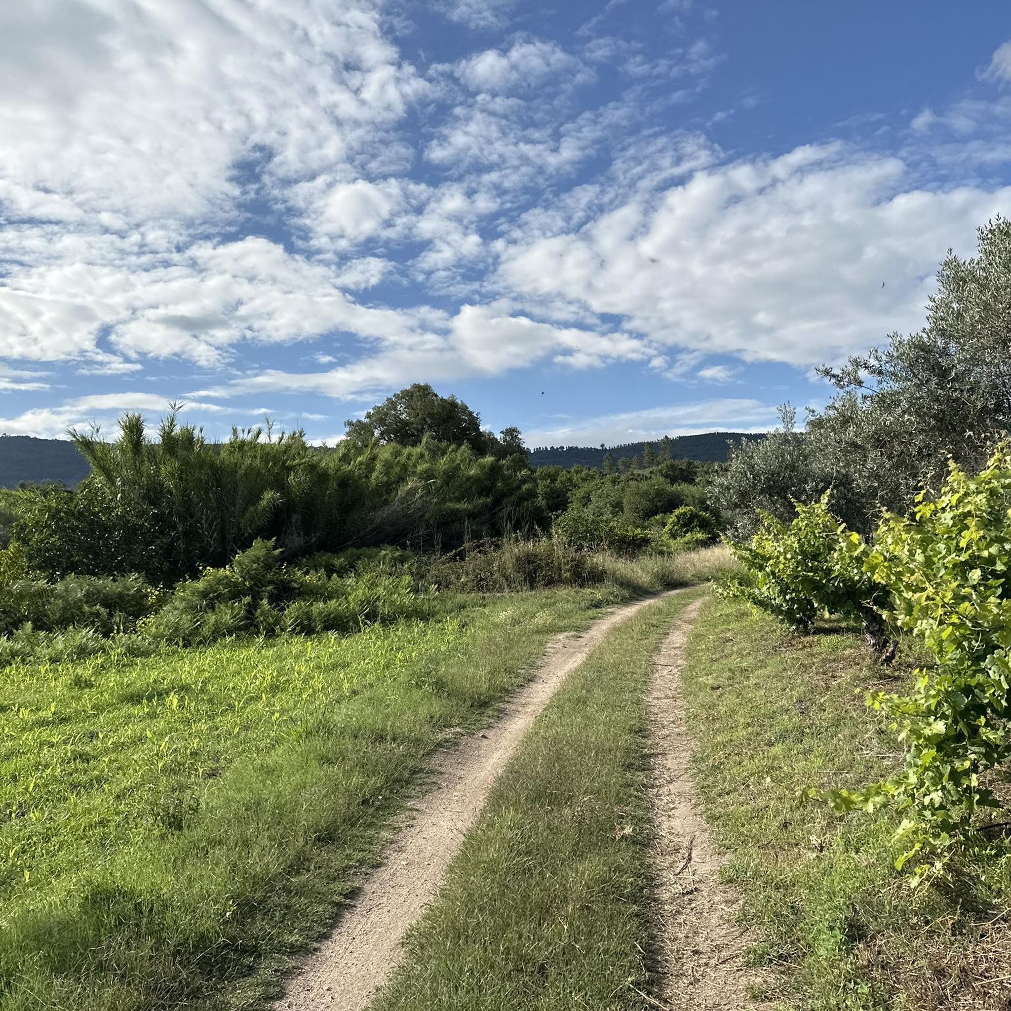
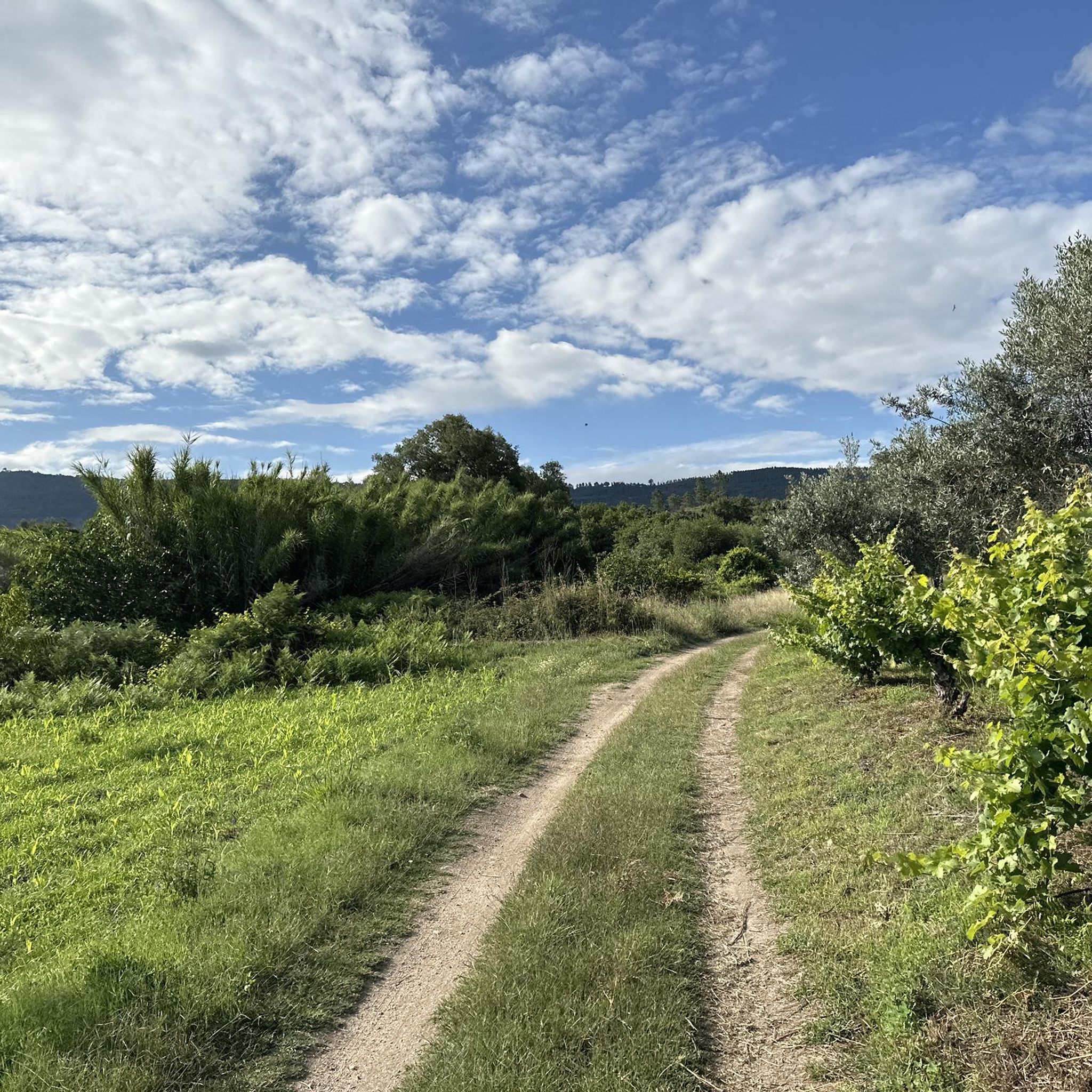
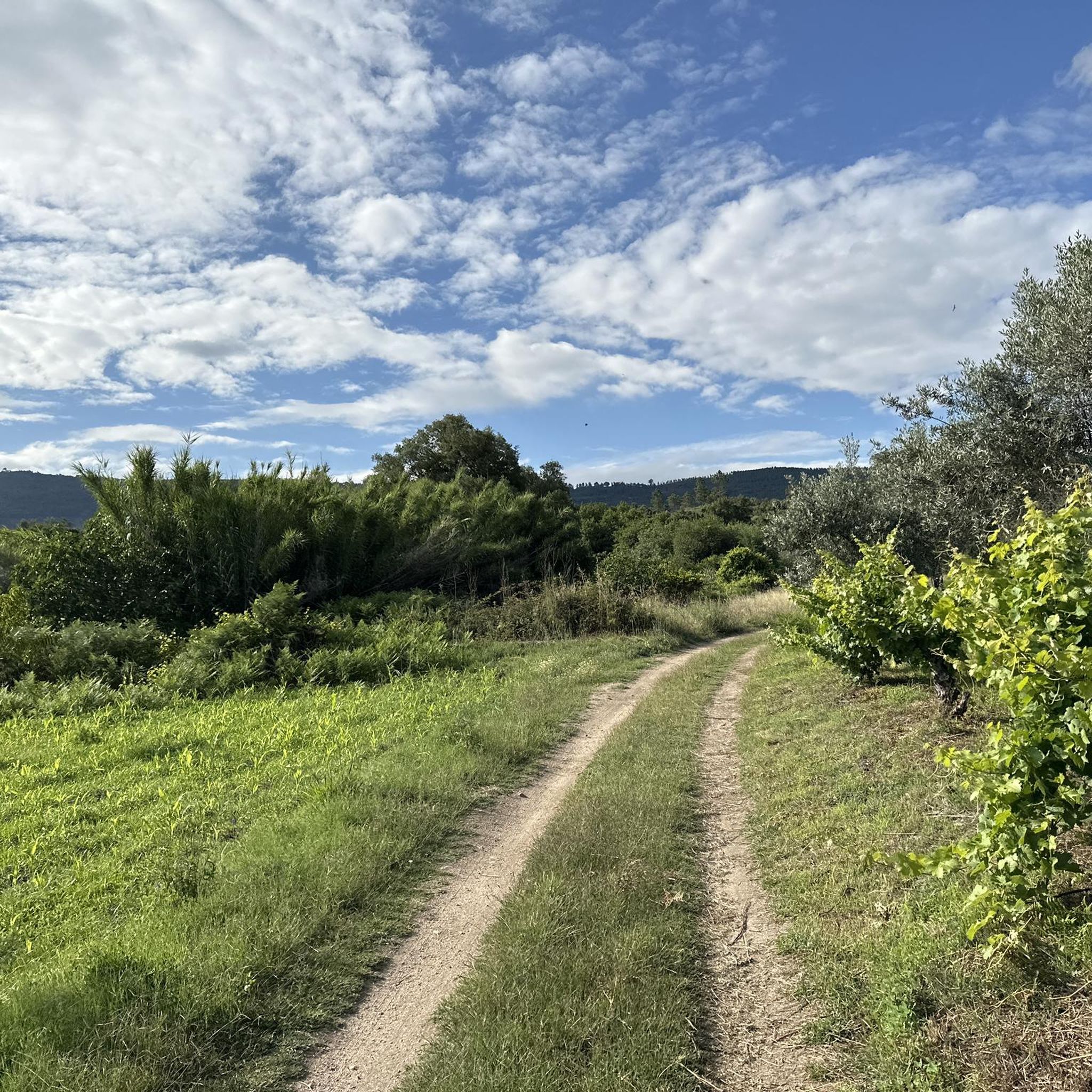
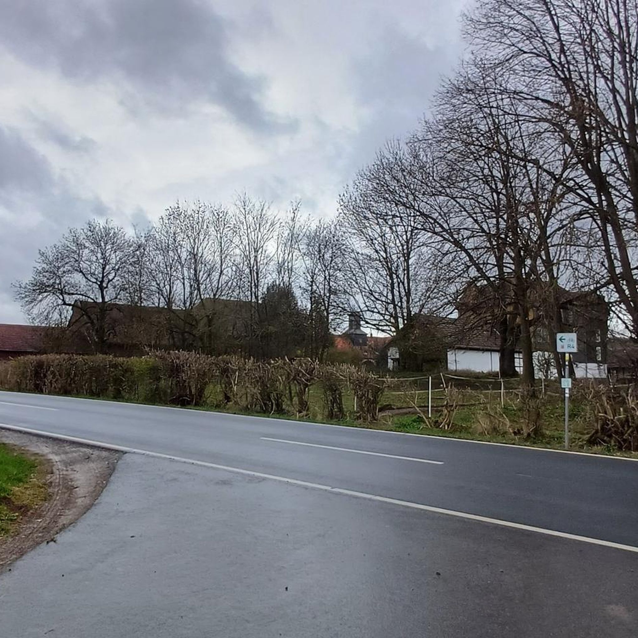
Tips from the Community

Built in the 18th century, this Baroque-influenced property is located in Largo da Bica. It features a rectangular backrest with two pilasters, topped with a beveled Latin cross and the coat of arms of King João V. It is accessed by a grand staircase decorated with flaming vases and modillions used to tether horses. It is a drinking water fountain.
0
0
Nestled on a hill overlooking the cliffs of the Serra da Gardunha, the village of Castelo Novo is linked to the early history of the nation. It was in 1208, during the reign of Sancho I, that Pedro Guterres donated the land—of which he was a grantee—in his will to the Knights Templar, and it is believed that at this time the castle was already under construction. Decades later, King Dinis ordered its structure to be renovated, and it was this campaign of works that gave the Castelo Novo fortress the Gothic characteristics it still displays today. Like many other villages along the Beira border, Castelo Novo grew in the shadow of and around its walls, with narrow streets winding up the hillside to the keep. In the center stands the Town Hall, with its arcades beneath the terrace of the main floor. In the center, integrated into the town hall's façade, stands the monumental and imposing King João V fountain, commissioned by King Magnanimous. Opposite, the Manueline pillory marks the center of the square, and further on, the main church dedicated to Our Lady of Grace rises, its white walls contrasting with the Baroque forms of the granite windows and portals. Throughout the village, as you wander the winding streets, you can discover architectural details, small traces that tell the story of its inhabitants. In Castelo Novo, be sure to visit: The castle; The Bica and King João V fountains; The main church and the Misericórdia church; The manor houses; The old gallows. The Castelo Novo Museum Center Alardo Park
1
0

At the top of Gardunha, almost 1,000 meters above sea level, stands the Castelo Velho site. From here, the view reaches the Castelo Branco plain and continues to the Tagus River, an endless horizon. Among balanced rocks, blocks sculpted by time, and curious granite forms, this place is a veritable open book of geology and a privileged viewpoint of the mountains.
2
0

The road to the Castelo Velho swing is quite uneven, but with caution, it's accessible even with a non-off-road vehicle. The effort is worth it, as the view from the swing is breathtaking. You can see the Santa Águeda Dam and Louriçal do Campo.
2
0
Built in the 18th century, this Baroque-style fountain is located in the Largo da Bica square. Access is via a grand staircase.
3
0
It probably dates back to the time when King Manuel I granted the town charter in 1510.
2
0

The historic village is a surprise with its unique manor houses, once owned by noble families. The 12th-century castle, severely damaged during the earthquake of 1755, was given the name "novo," or "new," because another castle had already existed in its immediate vicinity, which had been abandoned due to its insufficient defensive capabilities.
4
0

In the middle of the Serra da Gardunha, the Historic Village of Castelo Novo rises in shades of green and gray. Built on granite, Castelo Novo preserves a unique architectural heritage over time. For gastronomy visit the restaurant "Le Lagarto".
4
0
Frequently Asked Questions
What kind of terrain can I expect on hiking trails around Alpedrinha?
Hiking around Alpedrinha primarily features diverse landscapes on the southern slope of the Serra da Gardunha mountain range. You'll find fertile valleys, abundant water sources, and historical elements like Roman paths. The Serra da Gardunha is a Regional Protected Landscape, offering varied terrain from mountain paths to more gentle valley walks.
Are there any easy hiking trails suitable for beginners in Alpedrinha?
While most of the routes around Alpedrinha are classified as moderate, there are no trails specifically listed as easy. However, many moderate trails, such as the Pedra d'Hera loop from Aldeia de Joanes (6.1 km), offer manageable distances and elevations that could be suitable for beginners looking for a slightly longer walk.
What are some notable viewpoints or natural features to see while hiking in the region?
The region is rich in natural beauty. The Pedra d'Hera Viewpoint, accessible via routes like the Pedra d'Hera loop from Aldeia de Joanes, offers breathtaking panoramic views of Fundão and the surrounding mountainous terrain. The Serra da Gardunha itself provides extensive scenic beauty, with lush landscapes due to abundant water and fertile land.
Are there any circular hiking routes available in Alpedrinha?
Yes, many of the trails around Alpedrinha are circular. Examples include the Church loop from Fundão (7.9 km), the Miradouro do Cavalinho loop from Alcongosta (7.2 km), and the Castelo Velho loop from Louriçal do Campo (14.3 km).
What historical sites or landmarks can I explore near the hiking trails?
Alpedrinha and its surroundings are steeped in history. You can explore the ancient Roman pavement within the village or walk parts of the Roman Path of Alcongosta. Nearby, the Historic Village of Castelo Novo is a must-see, and you can visit the Castelo Novo Castle Ruins. The Picadeiro Palace in Alpedrinha, now a Visitor Centre, also offers cultural context.
What is the best time of year to go hiking in Alpedrinha?
Alpedrinha's position on the southern side of the Serra da Gardunha protects it from harsh northern winds, contributing to a generally pleasant climate. Spring and autumn are typically ideal for hiking, offering mild temperatures and vibrant scenery. The region is also known for its cherry trees, suggesting beautiful blooms in spring.
Are there any challenging hikes for experienced hikers?
Yes, while most routes are moderate, there is at least one trail classified as difficult among the 12 available routes. For experienced hikers seeking a longer, more demanding option, the Castelo Velho loop from Louriçal do Campo is a moderate 14.3 km route with significant elevation gain, offering a good challenge.
What do other hikers say about the trails in Alpedrinha?
The hiking routes in Alpedrinha are highly rated by the komoot community, with an average score of 4.8 stars from over 20 reviews. Hikers often praise the diverse landscapes, the well-maintained paths, and the blend of natural beauty with historical elements found throughout the Serra da Gardunha.
Are there any places to cool off or swim near the hiking trails?
Yes, for a refreshing break, the Castelo Novo River Beach is a nearby attraction where you can cool off. This river beach offers a pleasant spot to relax after a hike, especially during warmer months.
How many hiking routes are available in the Alpedrinha area?
There are 12 hiking routes available around Alpedrinha, offering a variety of experiences. These include 11 moderate trails and 1 difficult trail, catering to different fitness levels and preferences.
Can I find any unique natural features like waterfalls or specific tree types?
The region is known for its fertile land and abundant water sources, which contribute to lush landscapes. While specific waterfalls aren't highlighted, the area is part of the Serra da Gardunha, which is rich in diverse flora. The region is also known for its cherry trees and chestnut trees, suggesting you might encounter beautiful orchards and woodlands, particularly along routes like the PR7 FND – Rota da Cereja and PR9 FND – Rota dos Castanheiros.
Most popular routes around Alpedrinha
Most popular attractions around Alpedrinha

Get inspired with the komoot mobile app


Explore more
Browse the best Hikes in other regions.
