The best cycling routes around Salvaterra Do Extremo
5.0
(2)
11
riders
6
rides
Touring cycling routes around Salvaterra Do Extremo traverse a region characterized by picturesque rolling hills, lush forests, and the winding Erges River, which forms part of the border with Spain. This area, nestled within the Parque Natural do Tejo Internacional and a UNESCO Geopark Naturtejo, offers diverse terrain for cyclists. Routes often feature a mix of paved and unpaved surfaces, passing through cork tree landscapes and along historic Roman roads. The varied topography provides a scenic backdrop for exploring both…
Last updated: October 1, 2026
5.0
(1)
3
riders
29.3km
02:36
370m
380m
Hard bike ride. Good fitness required. You may need to push your bike for some segments of this route.
5.0
(1)
2
riders
29.8km
02:38
390m
390m
Hard bike ride. Good fitness required. You may need to push your bike for some segments of this route.

2
riders
44.9km
04:03
640m
640m
Hard bike ride. Very good fitness required. You may need to push your bike for some segments of this route.
1
riders
12.7km
01:01
130m
130m
Hard bike ride. Great for any fitness level. You may need to push your bike for some segments of this route.
1
riders
21.7km
02:07
330m
330m
Hard bike ride. Good fitness required. You may need to push your bike for some segments of this route.
Our route recommendations are based on thousands of hikes, rides, and runs completed by other people on komoot.
Start today with a free account
Your next adventure awaits.
Popular around Salvaterra Do Extremo
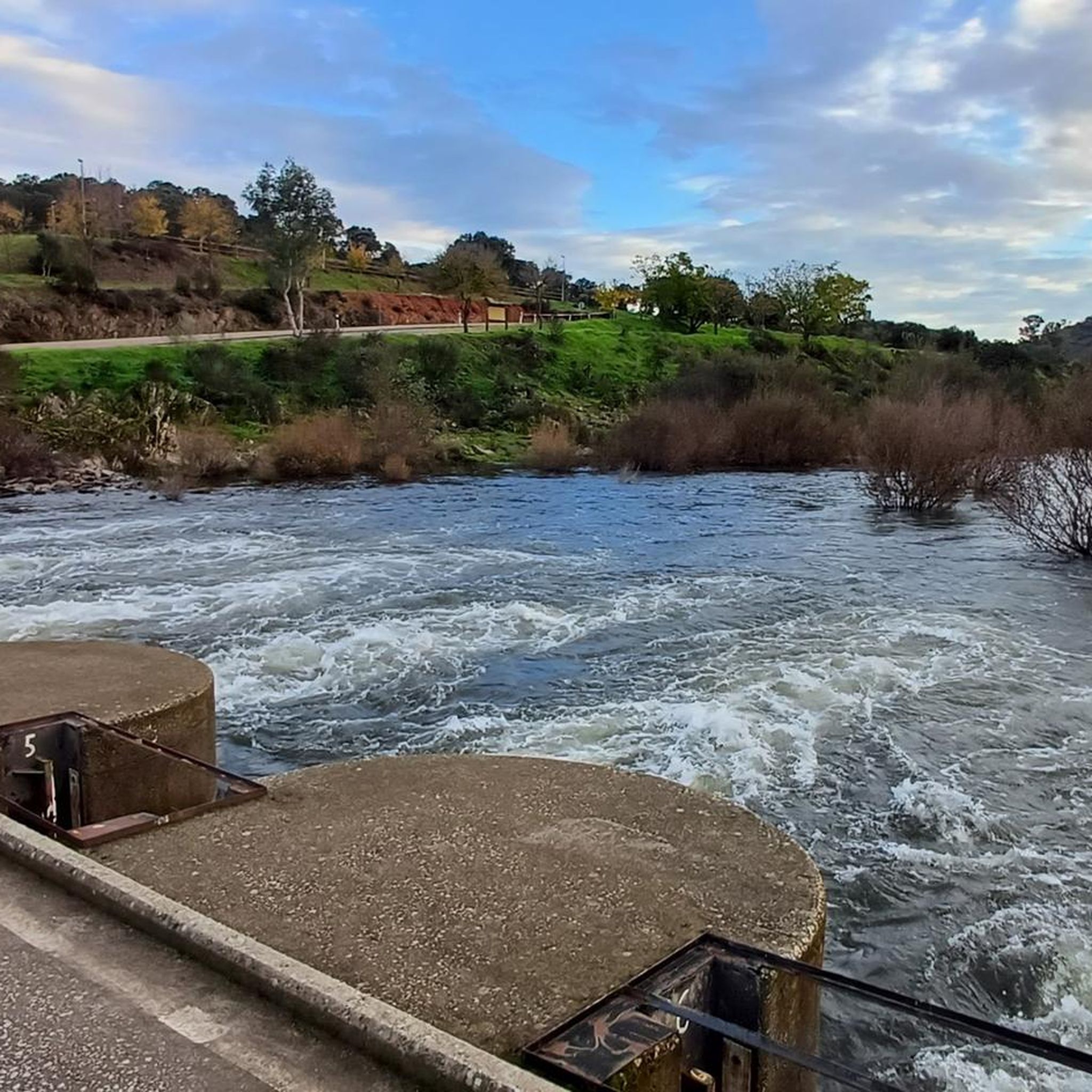
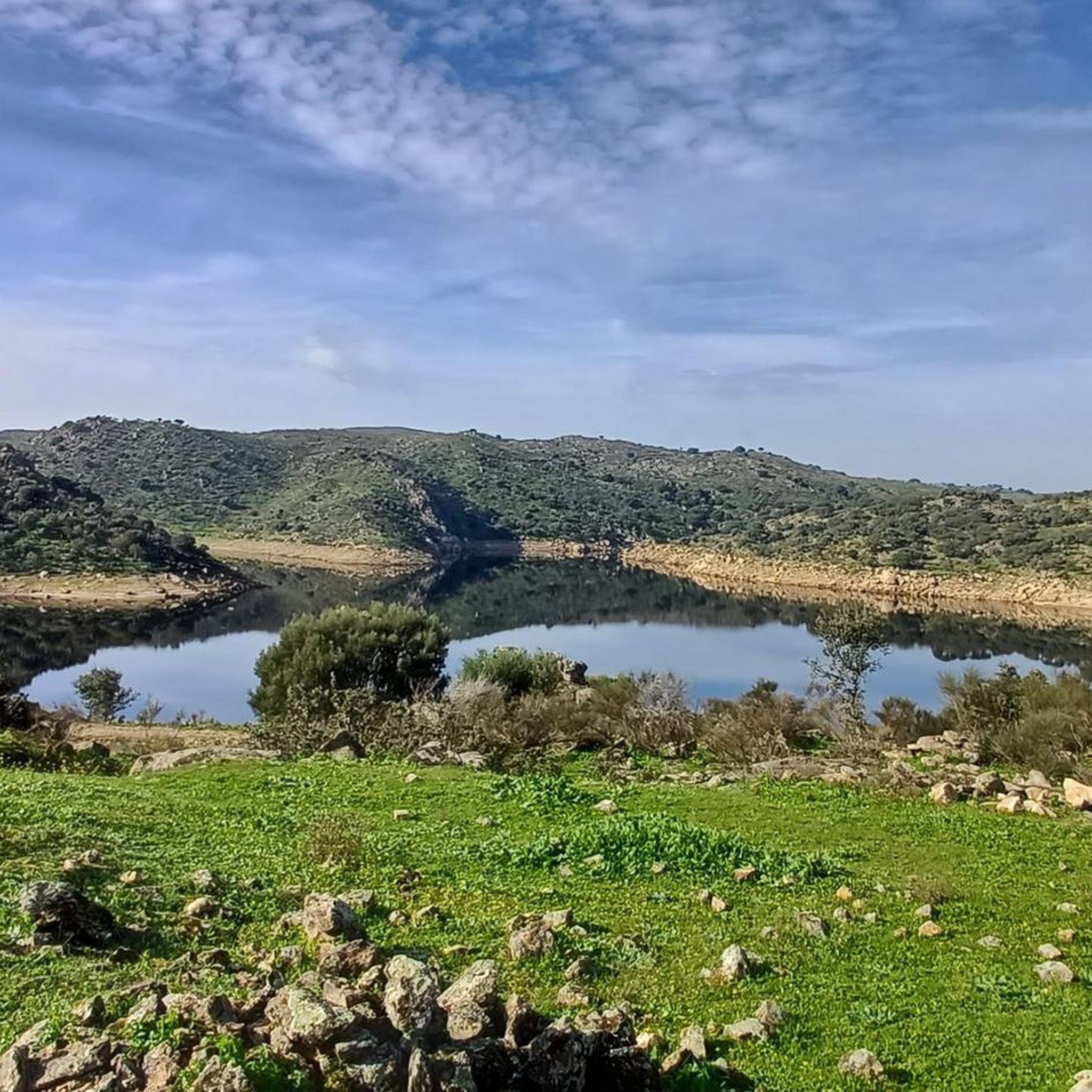
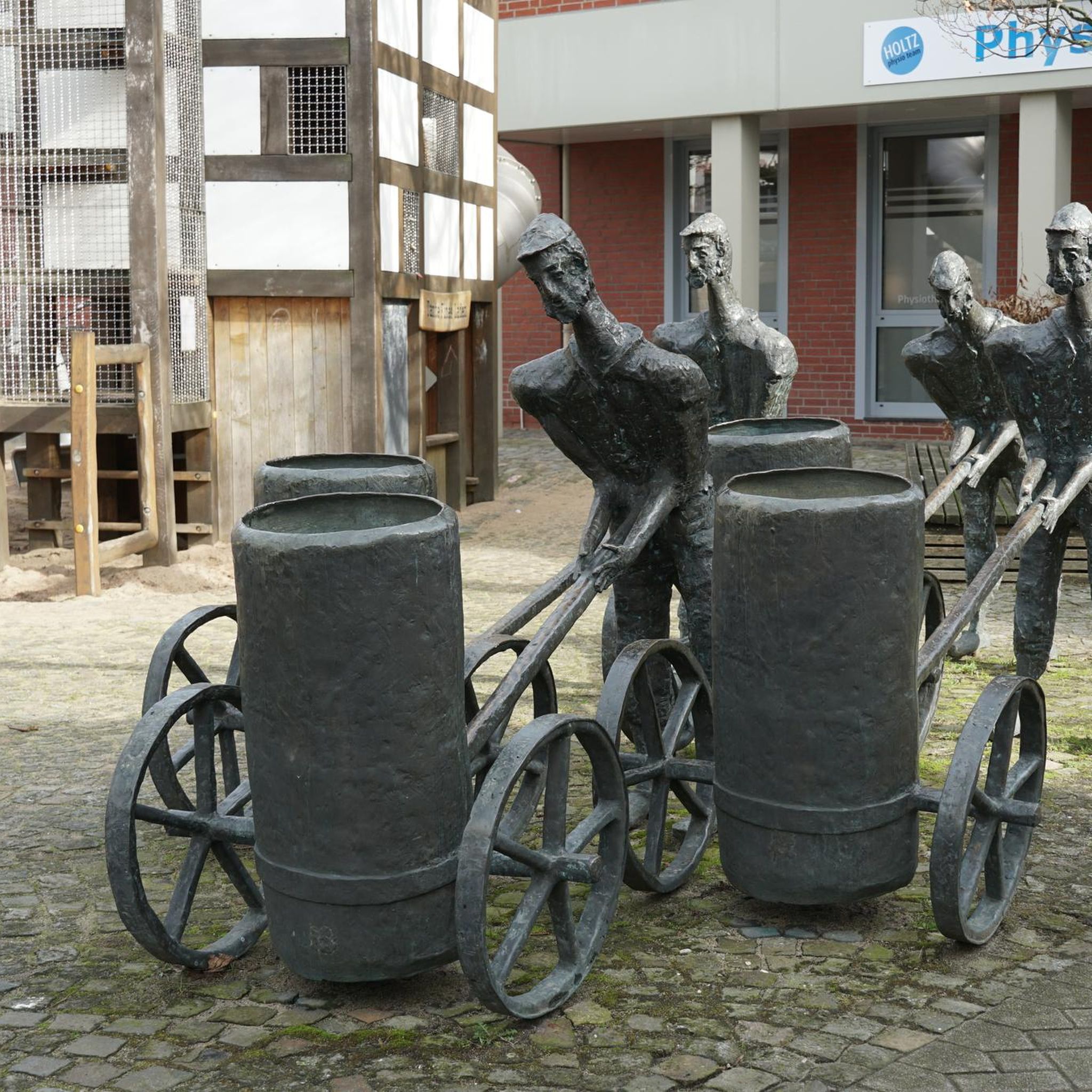
Tips from the Community

The Cañada Real de Gata is a short-distance hiking route that offers great scenic value as it passes entirely through the surroundings of the Tajo Internacional Natural Park in Extremadura.
7
0
Zarza la Mayor is a Spanish town and municipality, located in the province of Cáceres, in the autonomous community of Extremadura. It belongs to the judicial district of Cáceres and is the westernmost town in the community of Rivera de Fresnedosa. Furthermore, it is the only municipality in said community that has a border with Portugal, located four kilometers in a straight line from Salvaterra do Extremo.
10
0
Piedras Albas is a Spanish municipality located in the province of Cáceres, in the autonomous community of Extremadura. It is located 74 km west of the provincial capital and 7 km from the border with Portugal. Surrounded by the municipality of Alcántara, this town has an interesting history. The name “Piedras Albas” probably refers to the white quartzite ridges present in its surroundings. In the past, there was a border post next to the Roman bridge of Segura over the Erjas river, and a customs office in the same town.
5
0

View of the small town of Piedras Albas. The rural town sits on the old commercial and livestock route between Estorninos and Zarza la Mayor called Cañada Real de Gata.
2
0
Hiking route that runs along the old cattle trails near Zarza la Mayor, towards the Embalse de los Navarros.
2
1
At the west end of the city, the Plaza Mayor is worth visiting as you head out of town on your walk to admire the Church of San Andrés Apóstol and the council building.
4
0
A place that could well be paradise in summer, it is one of the most beautiful bathing areas in Extremadura. When the Alcántara reservoir was built, too many stones were needed to build the dam. Many came out of this quarry
9
0
A place that could well be paradise in summer, it is one of the most beautiful bathing areas in Extremadura. When the Alcántara reservoir was built, too many stones were needed to build the dam. From this quarry came many
9
0
Frequently Asked Questions
What is the general difficulty level of touring cycling routes around Salvaterra do Extremo?
The touring cycling routes in this region are generally considered difficult, featuring significant elevation changes and varied terrain. They are best suited for experienced cyclists looking for a challenging ride through rolling hills and diverse landscapes.
Are there any circular touring cycling routes available?
Yes, all the recommended touring cycling routes around Salvaterra do Extremo are circular. This allows you to start and finish your ride at the same location, such as the Cañada Real de Gata loop from Piedras Albas or the Segura International Bridge – View of Salvaterra do Extremo loop from Piedras Albas.
What kind of natural features can I expect to see along the cycling routes?
Cycling routes in Salvaterra do Extremo traverse a region rich in natural beauty. You'll encounter picturesque rolling hills, lush forests, and the winding Erges River, which forms part of the border with Spain. The area is within the Parque Natural do Tejo Internacional and a UNESCO Geopark Naturtejo, offering views of fascinating fluvial canyons and cork tree landscapes. Keep an eye out for Griffon vultures, as the region is known for its raptor colonies.
Are there any historical landmarks or attractions to explore while cycling?
Yes, the region is rich in history. You can cycle past remnants of old Roman roads, and the village of Salvaterra do Extremo itself boasts historical sites like the 15th-century Igreja Matriz, a 16th-century pillory, and parts of its medieval castle. Nearby, you might encounter the Segura International Bridge, Peñafiel Castle of Zarza la Mayor, or the ancient Peña Buraca (Canchal de los Ojos) and Medieval Tombs.
What do other touring cyclists say about the routes in Salvaterra do Extremo?
The touring cycling routes in Salvaterra do Extremo are highly rated by the komoot community, with an average score of 5.0 stars from reviews. Cyclists often praise the challenging terrain and the scenic beauty of the border region, as well as the unique blend of natural and historical sights.
Are there any family-friendly touring cycling routes in the area?
The touring cycling routes listed for Salvaterra do Extremo are generally classified as difficult, making them less suitable for young children or beginner families. These routes often involve significant elevation gain and varied surfaces. For family outings, it might be best to seek out shorter, flatter sections or dedicated family cycling paths in nearby towns.
Can I bring my dog on the touring cycling trails?
While many outdoor areas in Portugal are dog-friendly, it's important to consider the difficulty of the touring cycling routes around Salvaterra do Extremo. Given their challenging nature and length, these trails might be strenuous for dogs, especially in warmer weather. Always ensure your dog is fit for the activity and check local regulations for specific trails, particularly within the Parque Natural do Tejo Internacional.
What is the best time of year to go touring cycling in Salvaterra do Extremo?
The best seasons for touring cycling in Salvaterra do Extremo are typically spring (March to May) and autumn (September to November). During these periods, the weather is generally milder and more pleasant, avoiding the intense heat of summer and the cooler, potentially wetter conditions of winter. This allows for more comfortable exploration of the region's varied terrain and natural beauty.
Where can I find parking for my car if I want to cycle in Salvaterra do Extremo?
While specific parking areas for cyclists aren't detailed, Salvaterra do Extremo is a small village. You can typically find parking within the village itself or at the starting points of some routes, such as near Piedras Albas or Zarza la Mayor, which are common starting points for routes like the Cañada Real de Gata loop from Zarza la Mayor. Always check local signage for any restrictions.
Are there any facilities like cafes or restaurants along the cycling routes?
The touring cycling routes around Salvaterra do Extremo often pass through natural and rural areas. While the village of Salvaterra do Extremo and nearby towns like Zarza la Mayor or Piedras Albas will have cafes and restaurants, facilities might be sparse directly along the trails. It's advisable to carry sufficient water and snacks, especially on longer routes like the Cork Oak Forests – Termas de Monfortinho loop from Torre.
What is the longest touring cycling route available in this area?
The longest touring cycling route listed is the Cork Oak Forests – Termas de Monfortinho loop from Torre, which covers a distance of 53.6 km (33.3 miles) and typically takes around 3 hours and 30 minutes to complete. This route offers extensive exploration through the region's landscapes.
Most popular routes around Salvaterra Do Extremo
Most popular attractions around Salvaterra Do Extremo

Get inspired with the komoot mobile app


Explore more
Browse the best Cycling routes in other regions.
