The best MTB trails around Arganil
4.0
(1)
67
riders
7
rides
Mountain biking around Arganil offers diverse terrain characterized by significant elevation changes and varied landscapes. The region features a mix of challenging climbs and descents, often traversing through hilly areas and river valleys. Mountain bike trails in Arganil frequently include sections with natural obstacles and scenic viewpoints, making for demanding rides.
Best mountain bike trails around Arganil
- The most popular mountain bike trail is View of Benfeita – Olive Oil Mill and Watermill loop from Arganil, a 31.8 miles…
Last updated: November 8, 2026
27
riders
51.4km
05:29
1,600m
1,600m
Hard mountain bike ride. Very good fitness required. Advanced riding skills necessary.
17
riders
55.1km
04:59
1,410m
1,410m
Hard mountain bike ride. Very good fitness required.

4.0
(1)
6
riders
72.5km
07:24
2,290m
2,290m
Hard mountain bike ride. Very good fitness required. Advanced riding skills necessary.
2
riders
35.3km
02:53
620m
620m
Moderate mountain bike ride. Good fitness required. Advanced riding skills necessary.
2
riders
26.6km
02:31
760m
760m
Moderate mountain bike ride. Good fitness required.
Get access to more routes and recommendations from other explorers.
Already have an account?
Our route recommendations are based on thousands of hikes, rides, and runs completed by other people on komoot.
Start today with a free account
Your next adventure awaits.
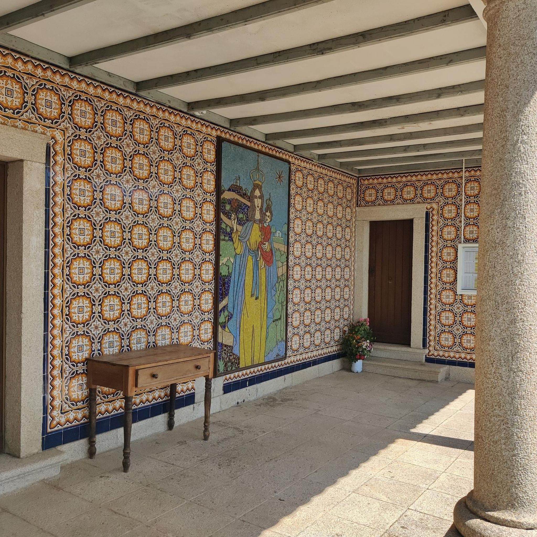
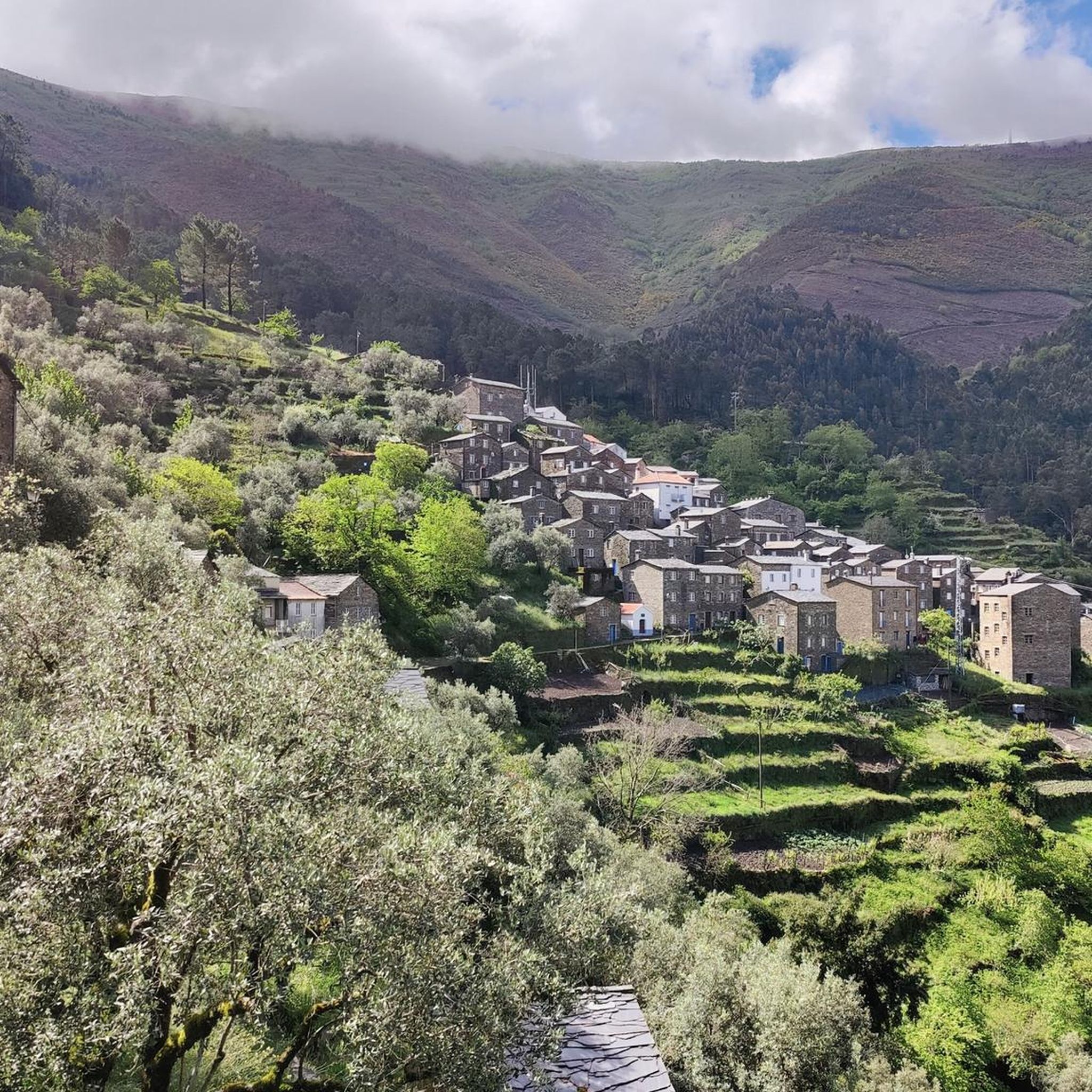
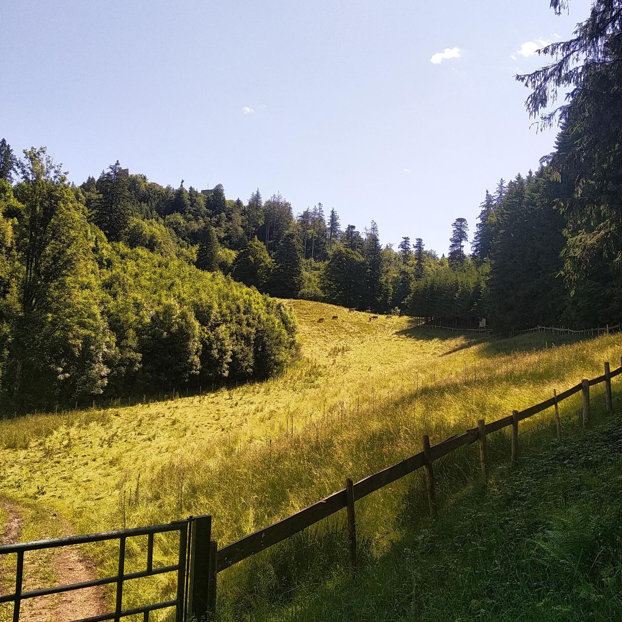
Tips from the Community

The Ceira River is a mountain river with crystal-clear waters that flows through the municipality of Góis.
0
0
Aldeias do Xisto: Góis is home to four villages that are part of the official network — Aigra Nova, Aigra Velha, Comareira and Pena.
0
0

Simply spectacular for a refreshing dip
0
0

The Ponte Real (or Ponte Velha) over the Ceira River is located in the village of Góis, being one of the historical ex-libris of the region. This medieval-style bridge, later reformed, is an important tourist attraction, crossing the Ceira River, a left-bank tributary of the Mondego River, which originates in the Serra do Açor. Location: Center of the village of Góis, facilitating pedestrian access. Characteristics: Imposing structure with stone arches, typical of crossing constructions from the monarchical period. Surroundings: The Ceira River, near this area, offers river beaches highly sought after during the summer, standing out for the quality of the water and tranquility. History: It is part of the built heritage from the Manueline/medieval period of the region.
1
0

Fajão is nestled between the Serras del Açor and de la Lousã, and stands out for its unique architecture, made mainly of schist (xisto), the local stone that gives it a dark color and a characteristic appearance, making it one of the famous "schist villages" of the region. Fajão also has a parish museum that exhibits sacred art and objects of daily life, and boasts a history linked to the Resistance during the Salazarist regime.
1
0
Nestled along the banks of the Alva River, Côja is immersed in a green environment, surrounded by mountains and forests. The village is characterized by traditional architecture, a charming Roman bridge and a peaceful atmosphere.
1
0

The ideal base for walks and cycling trips
0
0

This is a really beautiful gravel road up in the mountains. There are also some steep and technical sections that required hike-a-bike.
2
0
Frequently Asked Questions
What is the general difficulty level of mountain bike trails in Arganil?
Mountain biking in Arganil is characterized by challenging terrain with significant elevation changes. Most routes are classified as difficult, featuring demanding climbs and descents. There are also some moderate options available for those looking for a slightly less strenuous ride.
Are there any beginner-friendly mountain bike trails in Arganil?
While many trails in Arganil are demanding, there are a few moderate options that might be suitable for experienced beginners or intermediate riders looking to build their skills. For example, the Ponte de Coja – Côja loop from Mouronho is a moderate trail that covers 21.9 miles (35.3 km) with a more manageable elevation gain compared to the most difficult routes.
What are the typical distances and elevation gains for mountain bike trails in Arganil?
Mountain bike trails in Arganil vary in length and elevation. You can expect distances ranging from around 20 miles (32 km) to over 45 miles (72 km). Elevation gains are substantial, often exceeding 1,300 meters (4,265 feet) and sometimes reaching over 2,400 meters (7,874 feet) on the more challenging routes.
How long do mountain bike trails in Arganil typically take to complete?
The duration of mountain bike trails in Arganil varies significantly based on distance, elevation, and rider fitness. Moderate routes like the Ponte de Coja – Côja loop from Mouronho can take around 3 hours. More difficult and longer trails, such as the View of Benfeita – Olive Oil Mill and Watermill loop from Arganil, can take over 5 hours, with some extended routes requiring 7-8 hours or more.
What kind of terrain can I expect on mountain bike trails around Arganil?
The terrain around Arganil is diverse, featuring a mix of challenging climbs and descents through hilly areas and river valleys. You'll encounter natural obstacles, varied surfaces, and scenic viewpoints. The landscape is often rugged, providing a demanding yet rewarding mountain biking experience.
Are there any circular mountain bike routes in Arganil?
Yes, many of the mountain bike routes in Arganil are designed as loops, allowing you to start and finish at the same point. Examples include the popular View of Benfeita – Olive Oil Mill and Watermill loop from Arganil and the Casa Carvalhal B&B, Góis loop from Góis.
What are some notable natural attractions or viewpoints along the mountain bike trails in Arganil?
The Arganil region offers several natural attractions that can be explored. You might encounter the stunning Fraga da Pena Waterfall or the impressive Garganta do Ceira gorge. Many trails also lead to scenic viewpoints offering panoramic vistas of the surrounding landscapes.
Are there any charming villages or settlements to explore near the mountain bike routes?
Yes, the area around Arganil is dotted with picturesque villages. You might pass through or near settlements like Fajão, Côja, or Aldeia do Sardal, which offer a glimpse into local life and culture.
What do other mountain bikers say about the trails in Arganil?
The mountain bike trails in Arganil are well-regarded by the komoot community, with over 60 mountain bikers having explored the varied terrain. Riders often praise the challenging nature of the routes, the significant elevation changes, and the beautiful natural landscapes encountered along the way.
What is the best time of year for mountain biking in Arganil?
The best time for mountain biking in Arganil generally depends on personal preference for weather conditions. Spring and autumn offer milder temperatures, which are ideal for tackling the demanding climbs. Summers can be hot, making early morning or late afternoon rides preferable, while winters can bring cooler, wetter conditions.
Are there any advanced mountain biking routes for experienced riders?
Absolutely. Arganil is particularly well-suited for advanced mountain bikers due to its prevalence of difficult routes with substantial elevation gains and technical sections. Trails like the extended View of Benfeita – Olive Oil Mill and Watermill loop from Arganil, covering over 45 miles (75 km) with more than 2,400 meters of ascent, offer a significant challenge for experienced riders.
Is public transport an option for accessing mountain bike trails in Arganil?
While Arganil has some local bus services, direct public transport access to specific trailheads in more remote areas can be limited. It's often more convenient to use a car for transport to the starting points of many mountain bike routes, especially for those venturing further into the region's diverse terrain.
Most popular routes around Arganil
Most popular attractions around Arganil

Get inspired with the komoot mobile app


Explore more
Browse the best MTB trails in other regions.
