The best walks and hikes around Reguengos De Monsaraz
4.3
(75)
245
hikers
3
hikes
Hiking trails around Reguengos de Monsaraz traverse the Alentejo region's diverse landscapes, characterized by rolling plains, extensive vineyards, and ancient olive groves. The area features cork oak forests and the vast expanse of Lake Alqueva, Europe's largest artificial lake, which influences several waterside routes. The historic village of Monsaraz, perched on a hill, offers elevated perspectives of the surrounding terrain. This combination of agricultural land, water features, and historical sites defines the region's outdoor environment.
Best hiking trails around Reguengos de Monsaraz
- The most popular hiking route is Monsaraz Historic Village – Cromlech of Xerez loop from Monsaraz, a 2.8 miles (4.5 km) trail that takes 1 hour 18 minutes to complete. This easy path connects the historic village with ancient megalithic monuments.
- Another top favourite among local hikers is Escritas de Pedra e Cal (PR 1) - circular route, a moderate 7.5 miles (12.1 km) path. This route explores the region's agricultural landscapes and traditional architecture.
- Local hikers also love the Menires e Igrejas de Monsaraz Route — circular route in Monsaraz, a 8.8 miles (14.1 km) trail leading through historical sites and open countryside, often completed in about 3 hours 53 minutes.
- Hiking around Reguengos de Monsaraz is defined by rolling plains, vineyards, and cork oak forests, with routes often featuring views of Lake Alqueva and historic villages. The network offers options for different ability levels, from easy walks to moderate hikes.
- The routes in Reguengos de Monsaraz are highly rated by the komoot community with an average score of 4.4 stars from over 60 reviews. More than 190 hikers have used komoot to explore Reguengos de Monsaraz's varied terrain.
Last updated: October 8, 2026
4.5
(21)
72
hikers
12.1km
03:22
210m
210m
Moderate hike. Good fitness required. Easily-accessible paths. Suitable for all skill levels.
4.3
(15)
51
hikers
14.1km
03:53
230m
230m
Hike the Menires e Igrejas de Monsaraz Route, an 8.8-mile circular trail exploring ancient megaliths and a medieval village.

4.8
(12)
34
hikers
7.36km
02:06
170m
170m
Moderate hike. Good fitness required. Easily-accessible paths. Suitable for all skill levels.
4.8
(6)
21
hikers
4.50km
01:18
110m
120m
Easy hike. Great for any fitness level. Easily-accessible paths. Suitable for all skill levels.
3.5
(4)
8
hikers
9.85km
02:53
260m
260m
Moderate hike. Good fitness required. Easily-accessible paths. Suitable for all skill levels.
Our route recommendations are based on thousands of hikes, rides, and runs completed by other people on komoot.
Start today with a free account
Your next adventure awaits.

Tips from the Community

The centrally located church is one of the town's attractions. Right next to the church are clean public toilets.
9
0
Beautiful old photos of life and the city hang throughout the village
6
0
The monastery of Orada was built between 1700 and 1741 and housed the Order of the Discalced Augustinians until the beginning of the 19th century.
10
0
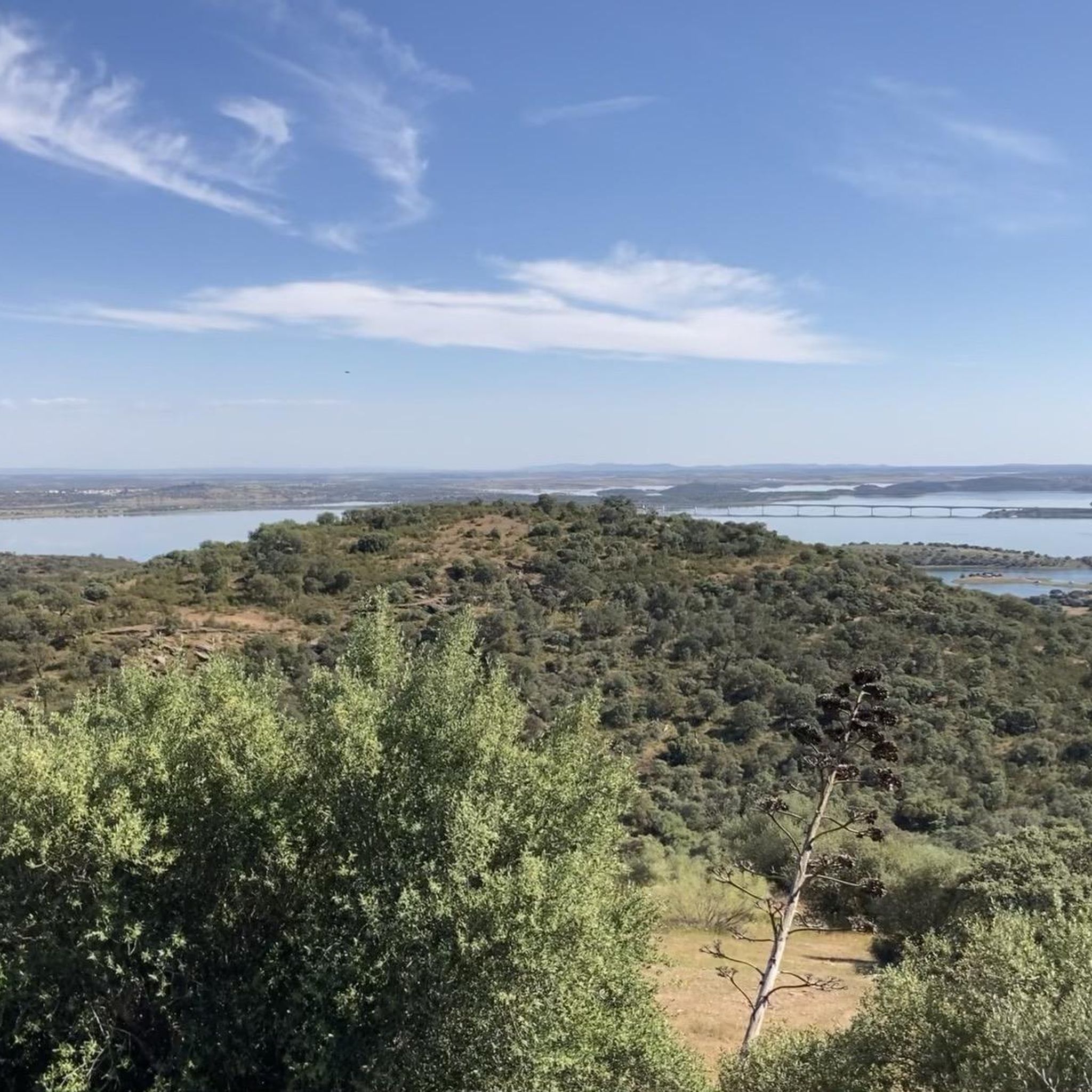
Large free parking lot with a great view over the huge reservoir.
11
0
The sculpture, made of sheet metal, depicts a choir and captures the essence of the choral singing that characterizes the cante. Its simple and careful aesthetic reflects the authenticity and cultural depth of this musical genre.
1
0

With the construction of the Alqueva Dam, and because Monsaraz is not only a monumental town, but also a high point from which to enjoy spectacular views of the waters of the great lake, the number of tourists in this area has increased exponentially in recent years.
3
0
In a region dotted with megalithic monuments, it is believed that the earliest human occupation of this site dates back to a prehistoric hillfort, successively occupied by Romans, Visigoths, and Muslims, who derived their subsistence from activities related to the agro-pastoral economy. The place name is linked to the latter domain, since, in Portuguese, the word xarez (or xerez) derives from the Arabic saris (or sharish), designating the rockrose (xaras) vegetation then abundant along the banks of the Guadiana River. The place name Monsaraz thus evolved from Monte Xarez (or Xaraz).
5
0
Frequently Asked Questions
What types of landscapes can I expect to see while hiking around Reguengos de Monsaraz?
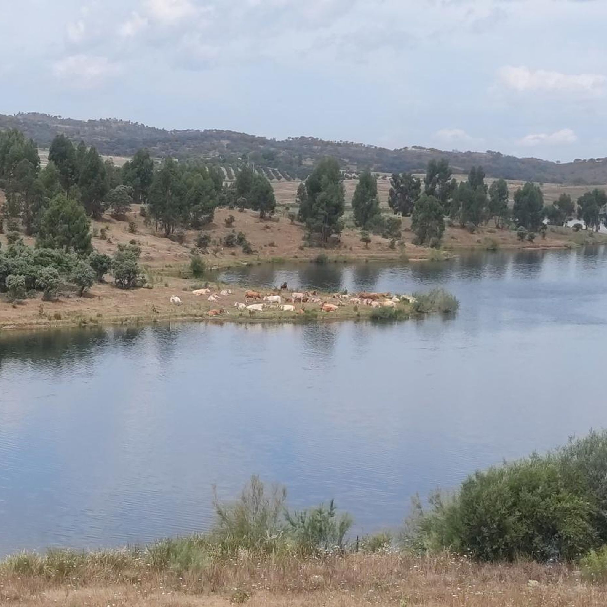
The region offers diverse landscapes, from vast Alentejo plains with golden wheat fields and extensive vineyards to ancient olive groves and cork oak forests. Many routes also feature serene views of Lake Alqueva, Europe's largest artificial lake, which provides a unique waterside hiking experience.
Are there any easy hiking trails suitable for beginners or families in Reguengos de Monsaraz?
Yes, there are options for easier walks. For instance, the Monsaraz Historic Village – Cromlech of Xerez loop from Monsaraz is an easy 4.5 km trail that connects the historic village with ancient megalithic monuments, perfect for a relaxed outing.
What historical or cultural attractions can I visit while hiking in the area?
The region is rich in history. You can explore the medieval walled Monsaraz Historic Village, perched atop a hill with panoramic views. Many trails also lead to prehistoric sites, such as the unique square-shaped Cromlech of Xerez, or pass by the Main Church of Monsaraz.
Are there any circular hiking routes available in Reguengos de Monsaraz?
Yes, several routes are circular, allowing you to start and end in the same location. Examples include the moderate Escritas de Pedra e Cal (PR 1) - circular route, which explores agricultural landscapes, and the Menires e Igrejas de Monsaraz Route — circular route in Monsaraz, which covers historical sites and open countryside.
What is the best time of year to go hiking in Reguengos de Monsaraz?
Reguengos de Monsaraz experiences a Mediterranean climate. The best times for hiking are typically spring and autumn when temperatures are milder. Summers can be hot and dry, while winters are short and rainy, so plan accordingly for comfortable conditions.
What do other hikers say about the trails in Reguengos de Monsaraz?
The hiking routes in Reguengos de Monsaraz are highly rated by the komoot community, with an average score of 4.4 stars from over 60 reviews. Hikers often praise the varied terrain, the stunning views of Lake Alqueva, and the opportunity to explore historic villages and ancient monuments.
Are there any challenging hiking routes for experienced hikers?
While the region offers many easy to moderate trails, some routes, like the Menires e Igrejas de Monsaraz Route (14.1 km) and Escritas de Pedra e Cal (PR 1) (12.1 km), are considered moderate and require good fitness due to their length and some elevation changes, offering a more substantial challenge.
Can I find trails that offer views of Lake Alqueva?
Absolutely. Lake Alqueva, Europe's largest artificial lake, is a prominent feature of the landscape. Many hiking paths in the region are designed to offer serene views of its vast expanse and numerous islands, providing a beautiful backdrop to your walk.
Are there opportunities to see vineyards and olive groves on the hikes?
Yes, the agricultural heartland of Reguengos de Monsaraz is celebrated for its wine and olive oil production. Many hiking paths traverse the region's prominent vineyards and ancient olive groves, allowing you to experience this integral part of the local culture and economy firsthand.
What is the 'Biografia da Paisagem' network of trails?
The 'Biografia da Paisagem' (Landscape Biography) is a comprehensive network of hiking routes in Reguengos de Monsaraz, spanning 243 km across nine thematic trails. These routes are designed to immerse hikers in the cultural, scenic, historic, and megalithic heritage of the county, telling the story of the region through its diverse landscapes.
Are there any specific points of interest related to megalithic monuments?
The region is rich in prehistoric sites. You can encounter significant megalithic monuments such as the unique square-shaped Cromlech of Xerez, which dates back to the fourth to third millennium BC. Other notable sites include the Outeiro Menhir and Telheiro Menhir, offering a glimpse into the area's ancient human occupation.
Is there public transport available to reach trailheads in Reguengos de Monsaraz?
While Reguengos de Monsaraz has some local transport, reaching specific trailheads often requires a car. It's advisable to check local bus schedules or consider taxi services if you plan to rely on public transport for access to more remote starting points.
Where can I find parking when starting a hike in Reguengos de Monsaraz?
Parking is generally available in and around the main towns and villages, such as Monsaraz. For specific trailheads, it's recommended to check the route details on komoot, as many popular starting points have designated parking areas nearby.
Most popular attractions around Reguengos De Monsaraz

Get inspired with the komoot mobile app


Explore more
Browse the best Hikes in other regions.
