The best MTB trails around Alcoutim e Pereiro e Pereiro e Pereiro
4.5
(4)
51
riders
6
rides
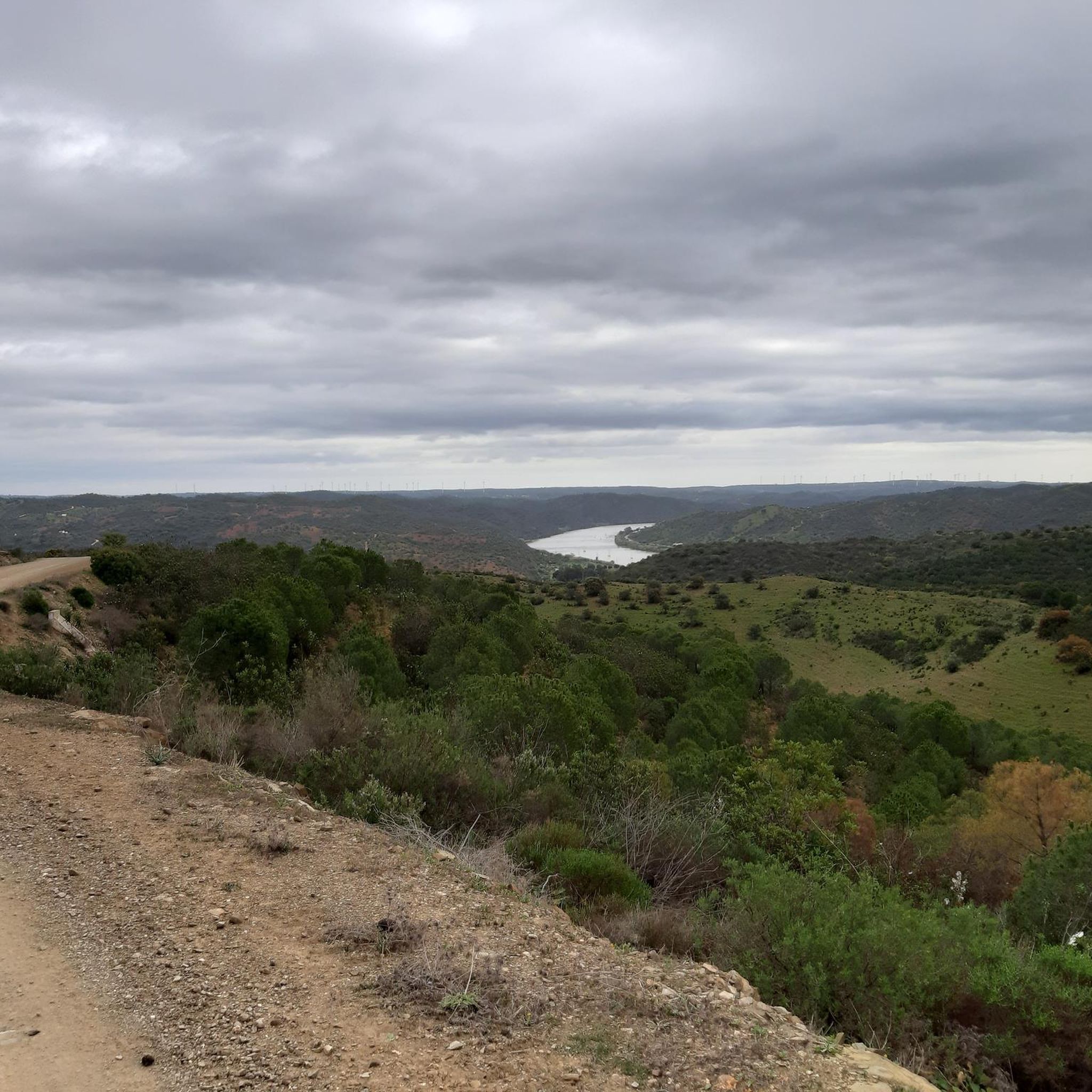
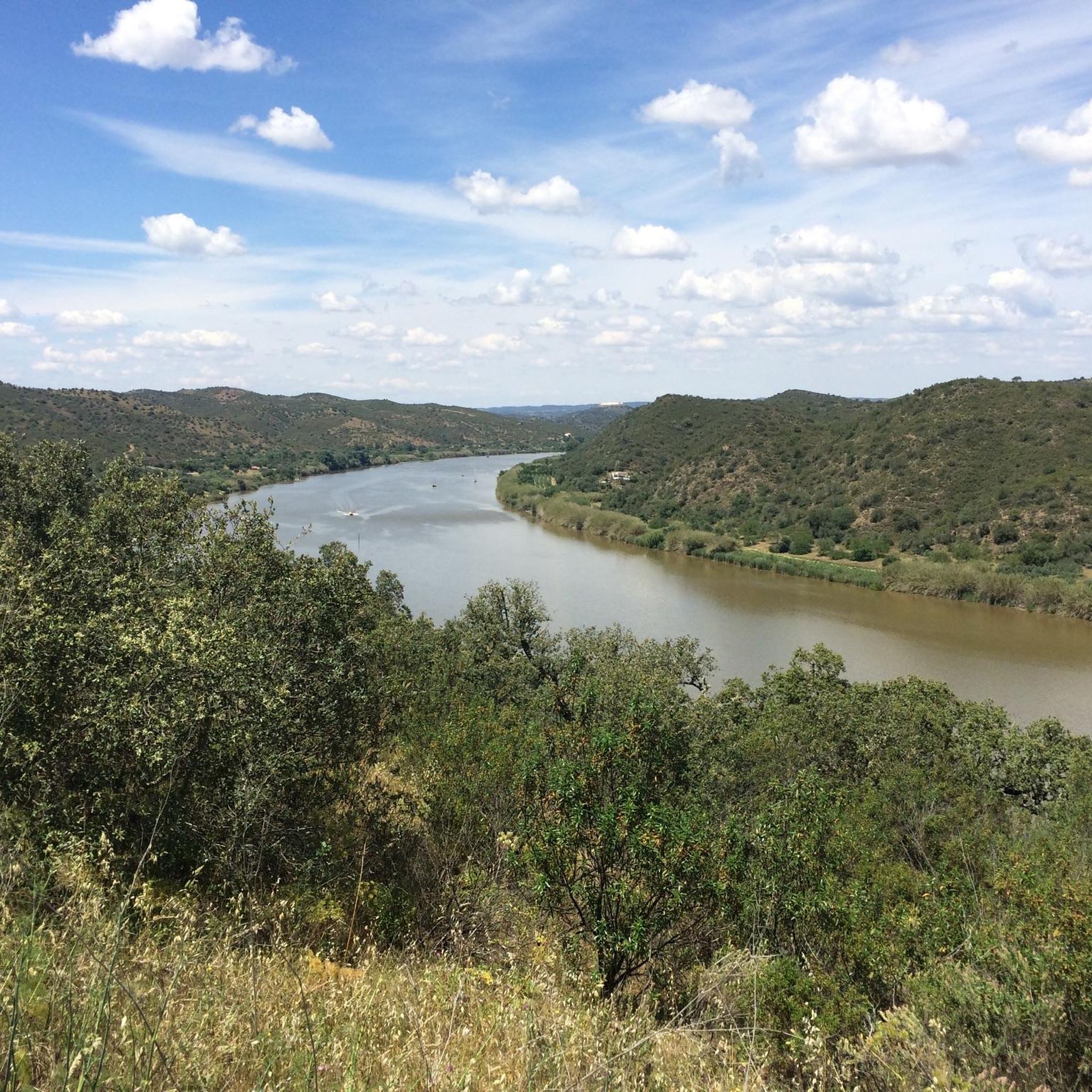
Mountain biking around Alcoutim e Pereiro e Pereiro e Pereiro offers diverse landscapes, characterized by the green hills of Serra do Caldeirão and the picturesque banks of the Guadiana River. The region features varied terrain, including schist and greywacke outcrops, providing a rugged and interesting topography for mountain bike trails. This area, nestled near the Spanish border, presents a tranquil setting for outdoor exploration.
Best mountain bike trails around Alcoutim e Pereiro e Pereiro e Pereiro
- The most popular mountain…
Last updated: May 15, 2026
15
riders
Hard mountain bike ride. Very good fitness required. Suitable for all skill levels.
12
riders
89.3km
05:59
1,200m
1,200m
Hard mountain bike ride. Very good fitness required. Suitable for all skill levels.

Sign up for free
4.5
(4)
5
riders
22.8km
02:00
380m
380m
Moderate mountain bike ride. Good fitness required. Suitable for all skill levels.
10
riders
Moderate mountain bike ride. Good fitness required. Suitable for all skill levels.
6
riders
86.6km
05:22
840m
840m
Hard mountain bike ride. Very good fitness required. Suitable for all skill levels.
Our route recommendations are based on thousands of hikes, rides, and runs completed by other people on komoot.
Start today with a free account
Your next adventure awaits.
Login or Signup
Popular around Alcoutim e Pereiro e Pereiro e Pereiro
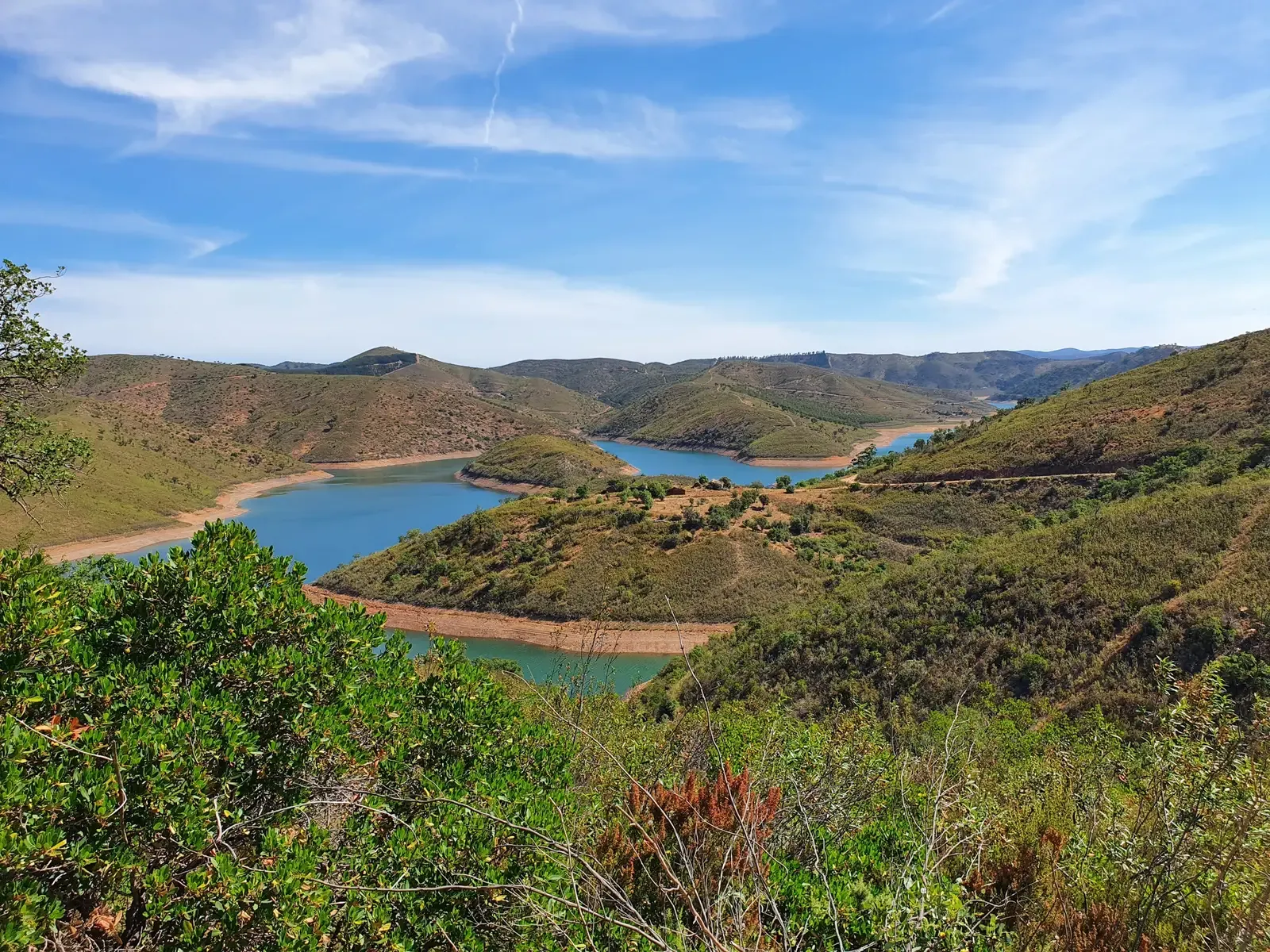
The secret Algarve – Algarviana Way
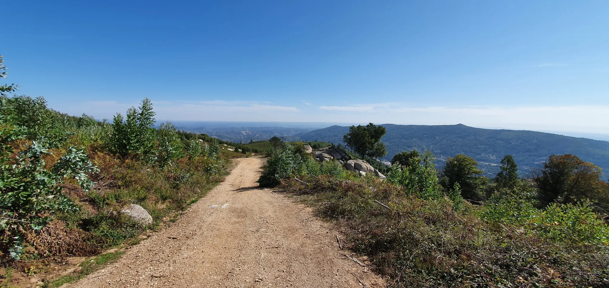
Via Algarviana (GR 13) - hidden corners of the south
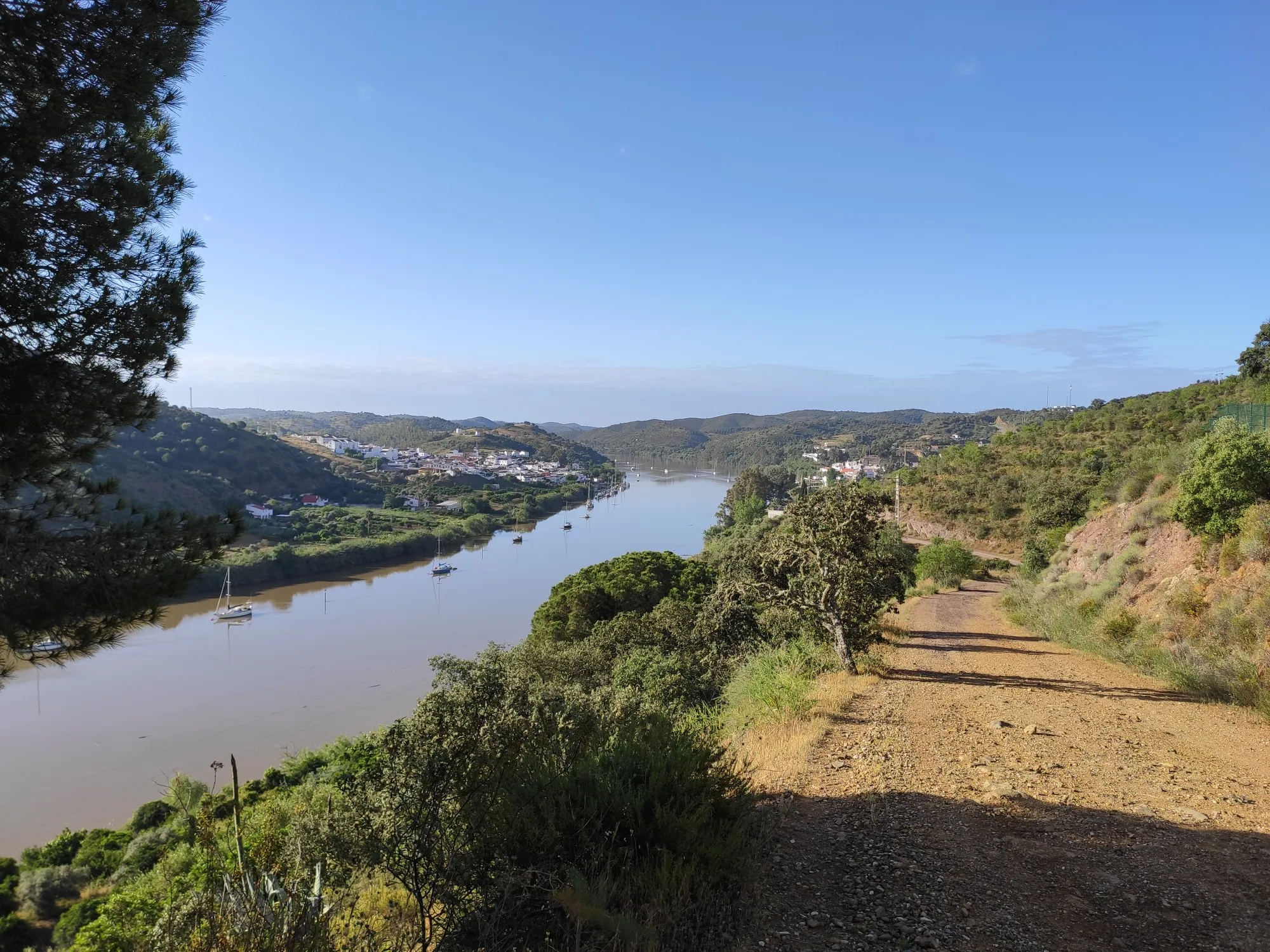
Stories of a river - Great Guadiana Route (GR 15)
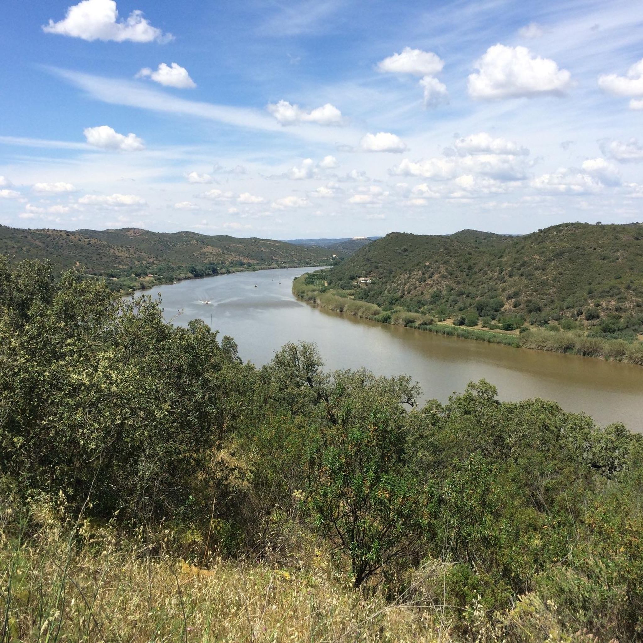
Hiking around Alcoutim e Pereiro e Pereiro e Pereiro
Running Trails around Alcoutim e Pereiro e Pereiro e Pereiro
Cycling around Alcoutim e Pereiro e Pereiro e Pereiro
Road Cycling Routes around Alcoutim e Pereiro e Pereiro e Pereiro
Other adventures around Alcoutim e Pereiro e Pereiro e Pereiro


Tips from the Community

End of the railway line in the eastern Algarve.
0
0
The Castro Marim Salt Pans, located in the Castro Marim and Vila Real de Santo António Salt Marsh Nature Reserve, are a historical and ecological landmark of the Algarve, where the artisanal production of salt and fleur de sel remains alive. 👍
1
0
The Great Guadiana Route (GR15) is a long-distance linear hiking trail (approximately 65 km in the Algarve, with extensions in the Alentejo) that follows the Guadiana River, connecting the Algarve coast (Vila Real de Santo António) to the mountainous interior (Alcoutim and Mértola), crossing diverse landscapes (mountains, Barrocal, coastline), cultural and natural heritage, making it ideal for hiking and mountain biking, with connection points to other routes such as the Via Algarviana (GR13). 👍🥾🦯
0
0

Vila Real de Santo António is located on the Gulf of Cádiz, which is part of the Atlantic Ocean, and on the right bank of the Guadiana River, whose lower reaches form the border between Portugal and Spain. The town is easily accessible by train! Vila Real de Santo António offers several attractions, charming restaurants, bars, and cafés! A ferry ⛴️ provides convenient hourly service to the Spanish town of Ayamonte. ...
4
0

High on a hill near Afonso Vicente, stand the Lavajo Menhirs, Neolithic stone sentinels that have guarded the silence of this valley for over five thousand years. Carved in greywacke and engraved with circles and dimples, these monoliths seem to align themselves in an ancient mystery. Recovered and restored in 2004, they have returned to their original location, inviting passersby to imagine a time when the stone spoke to the sun.
2
0
Along the Guadiana, the path meanders serenely, following the river's slow rhythm between hills of olive, almond, and fig trees. A former river of fishermen and miners, the Guadiana, called the "river of ducks" by the Romans, continues to connect Alentejo with Algarve and Portugal with Spain, a tranquil mirror of southern history and life.
2
0

The castle sits atop a hill overlooking the Guadiana River. The river forms the natural border between Portugal and Spain.
1
0
In the heart of the Algarve, perched on a hill on the right bank of the Guadiana River, Castro Marim Castle holds centuries of history and battles. Although human presence in the region dates back to prehistoric times, it was here that Romans and Muslims found a strategically valuable vantage point, taking advantage of its privileged position. The imposing fortification you can visit today (for a small fee) was built in the 13th century by order of King Dinis, serving as a defensive bastion against invasions and as a watchful sentinel on the border with Spain. At the top, the reward is a breathtaking panoramic view: the town of Castro Marim at your feet, the shimmering salt flats, the bridge connecting Portugal and Spain, and, in the distance, neighboring Ayamonte.
3
0
Frequently Asked Questions
How many mountain bike trails are available in Alcoutim e Pereiro?
There are over 5 mountain bike trails in the Alcoutim e Pereiro region, offering a range of experiences from moderate to difficult. The komoot community has explored these routes over 50 times, providing an average rating of 4.3 stars.
What is the best time of year for mountain biking in Alcoutim e Pereiro?
The region is generally pleasant for mountain biking outside of the peak summer heat. Spring is particularly beautiful, with clear streams originating in the Serra do Caldeirão, and the landscape is lush. Autumn also offers comfortable temperatures for riding.
What kind of terrain can I expect on mountain bike trails in Alcoutim e Pereiro?
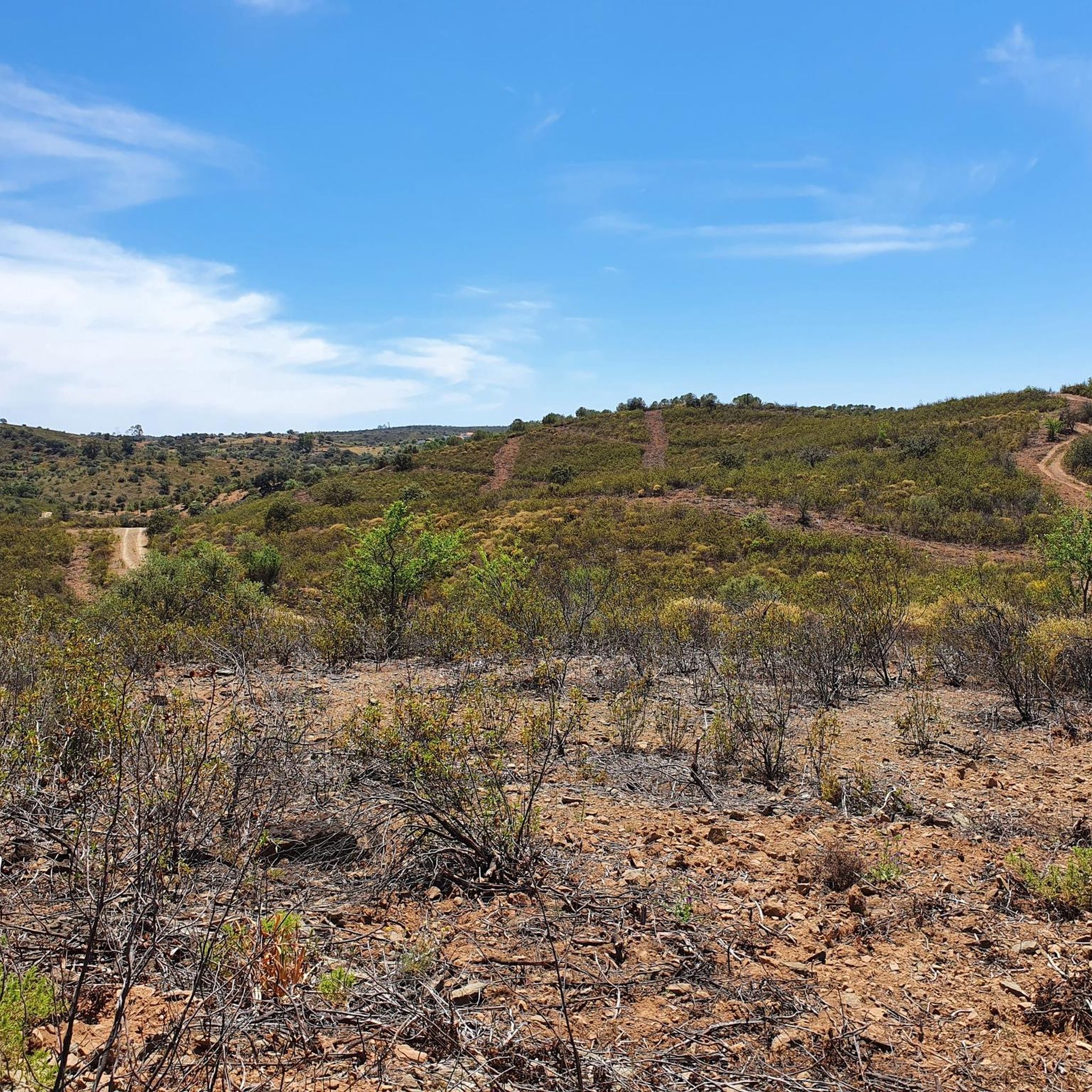
Mountain biking in Alcoutim e Pereiro features diverse landscapes, including the green hills of Serra do Caldeirão and the picturesque banks of the Guadiana River. You'll encounter varied terrain with schist and greywacke outcrops, providing a rugged and interesting topography. Trails range from moderate to difficult, catering to experienced mountain bikers.
Are there historical sites I can visit while mountain biking in Alcoutim e Pereiro?
Yes, the region is rich in history. You can cycle past sites such as the 13th-century Castelo de Alcoutim, which offers panoramic views of the Guadiana River, or the ancient ruins of Castelo Velho de Alcoutim. Another route, Lavajo Menhirs – Castelo de Alcoutim loop from Sanlúcar de Guadiana, specifically leads past historical sites like Lavajo Menhirs.
Can I find scenic viewpoints along the mountain bike trails?
Absolutely. The region offers several stunning viewpoints. The Pontal Viewpoint is a notable spot offering beautiful vistas of the Guadiana River. Many trails along the riverbanks also provide excellent opportunities for scenic views, such as the Viewpoint over the Guadiana River.
Are there any natural features to explore on the trails?
The natural landscape is a highlight of mountain biking here. You can explore areas like the Cork Oak Forests of the Algarve and the Mata Nacional das Terras da Ordem. The Guadiana River itself is a prominent natural feature, forming a natural border and offering picturesque views along its banks.
What do other mountain bikers enjoy about the trails in Alcoutim e Pereiro?
The area is highly rated by the komoot community, with an average score of 4.3 stars from over 3 reviews. Mountain bikers often praise the diverse landscapes, the tranquility away from coastal crowds, and the blend of challenging terrain with historical and natural points of interest.
Are there any long-distance mountain bike routes in the region?
Yes, for those seeking longer rides, there are several options. The Fornalha – Castro Marim Castle loop from Castro Marim is a challenging 55.6-mile (89.4 km) trail, typically completed in about 6 hours. Another demanding route is the Castro Marim Castle – Runner rest area loop from Vila Real de Santo António, covering 53.4 miles (85.9 km).
Can I find circular mountain bike routes in Alcoutim e Pereiro?
Yes, many of the mountain bike trails in Alcoutim e Pereiro are designed as loops, allowing you to start and finish at the same point. Examples include the Lavajo Menhirs – Castelo de Alcoutim loop from Sanlúcar de Guadiana and the Fornalha – Castro Marim Castle loop from Castro Marim.
Are there opportunities for cross-border mountain biking into Spain?
The proximity to Spain, with the Guadiana River forming a natural border, offers unique cross-border adventures. You can cycle to Sanlúcar de Guadiana, which is directly across the river from Alcoutim, and experience the cultural exchange. Some routes, like the Lavajo Menhirs – Castelo de Alcoutim loop from Sanlúcar de Guadiana, start from the Spanish side.
Are there any river beaches or refreshing stops along the trails?
Yes, after a ride, the Praia Fluvial do Pego Fundo (Pego Fundo River Beach) offers a refreshing stop. It features clear waters, coastal sands, and support facilities, providing a lovely alternative to traditional coastal beaches and a great place to cool down.
Most popular routes around Alcoutim e Pereiro e Pereiro e Pereiro
Most popular attractions around Alcoutim e Pereiro e Pereiro e Pereiro

Get inspired with the komoot mobile app


Explore more
Browse the best MTB trails in other regions.
