The best road cycling routes around Salir
4.4
(66)
2,258
riders
18
rides
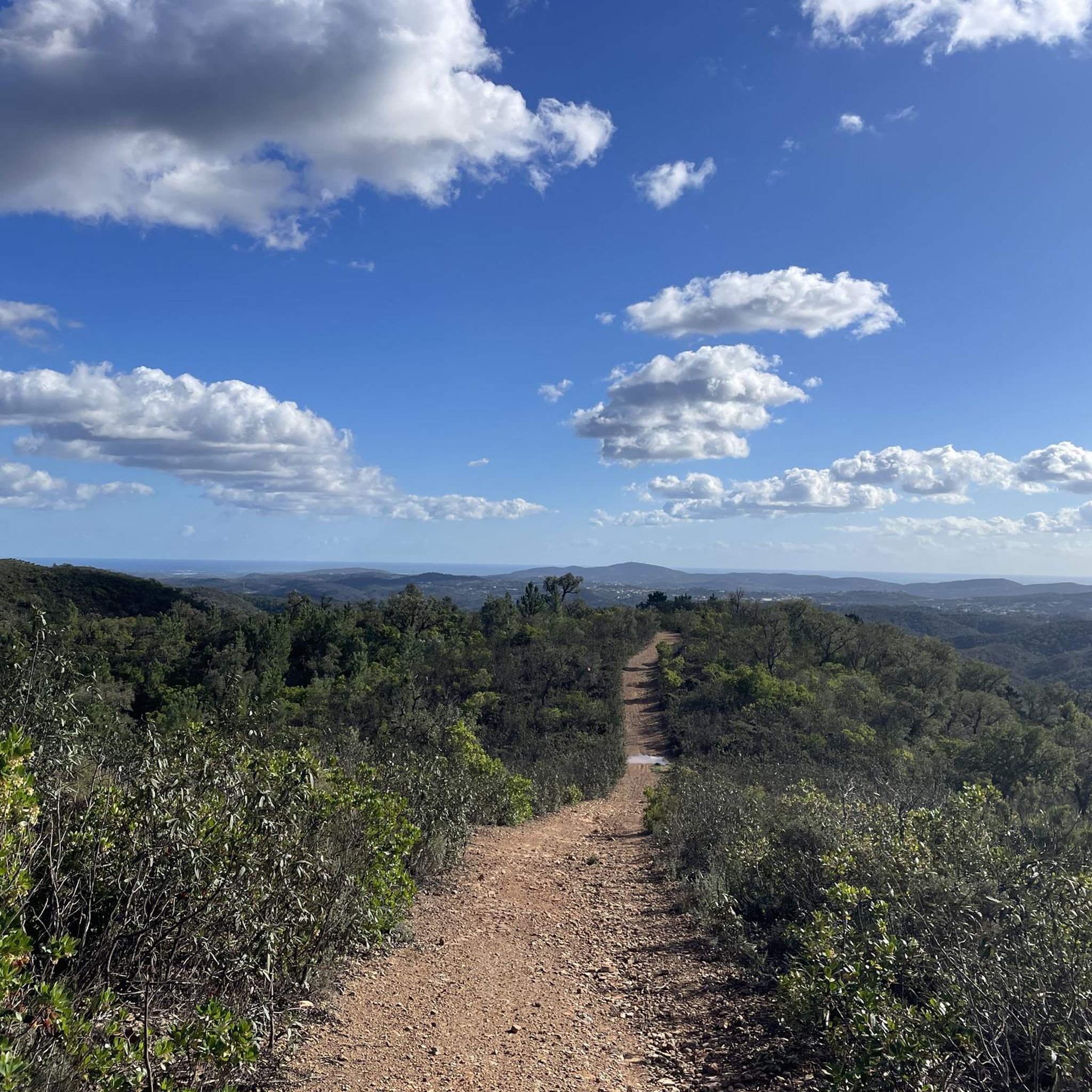
Road cycling routes around Salir, nestled in Portugal's Serra do Caldeirão, offer diverse and varied terrain for cyclists. The region features a blend of "barrocal" and uplands, providing a landscape of rolling hills and significant elevation changes. Cyclists can expect a mix of challenging ascents and enjoyable descents across this varied topography. The area is characterized by its geological formations, including prominent rocky features like Rocha da Pena, which contribute to the scenic backdrop.
Best road cycling routes around Salir
…Last updated: May 18, 2026
11
riders
69.2km
03:29
1,090m
1,090m
Hard road ride. Very good fitness required. Mostly well-paved surfaces and easy to ride.
4.7
(7)
53
riders
52.8km
02:30
640m
640m
Moderate road ride. Good fitness required. Mostly well-paved surfaces and easy to ride.

Sign up for free
4.0
(1)
24
riders
22.6km
01:05
260m
270m
Moderate road ride. Great for any fitness level. Some segments of this route may be unpaved and difficult to ride.
22
riders
42.8km
02:20
860m
860m
Moderate road ride. Good fitness required. Mostly well-paved surfaces and easy to ride.
4.0
(1)
12
riders
33.6km
01:45
580m
580m
Moderate road ride. Good fitness required. Some segments of this route may be unpaved and difficult to ride.
Get access to more routes and recommendations from other explorers.
Sign up for free
Already have an account?
Our route recommendations are based on thousands of hikes, rides, and runs completed by other people on komoot.
Start today with a free account
Your next adventure awaits.
Login or Signup
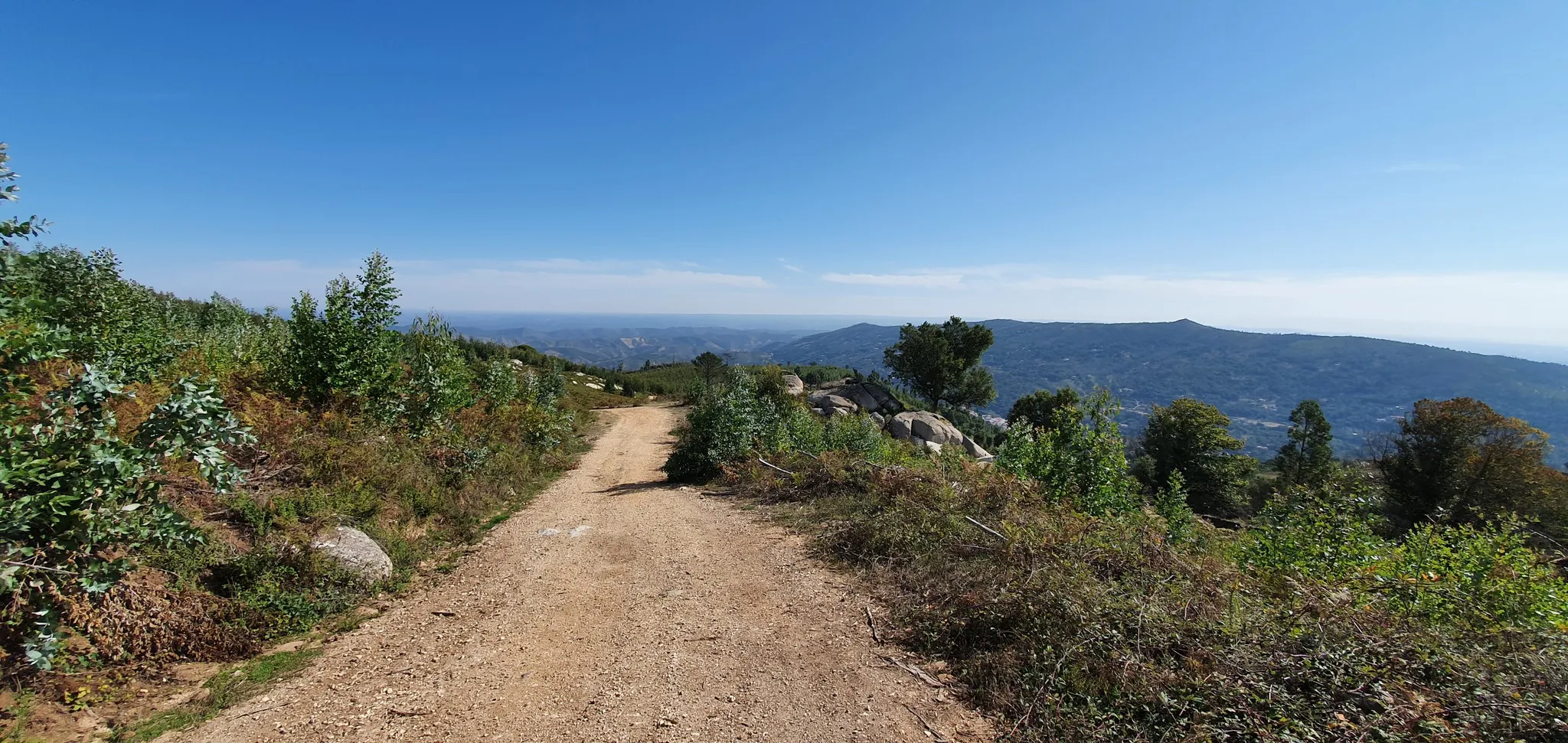
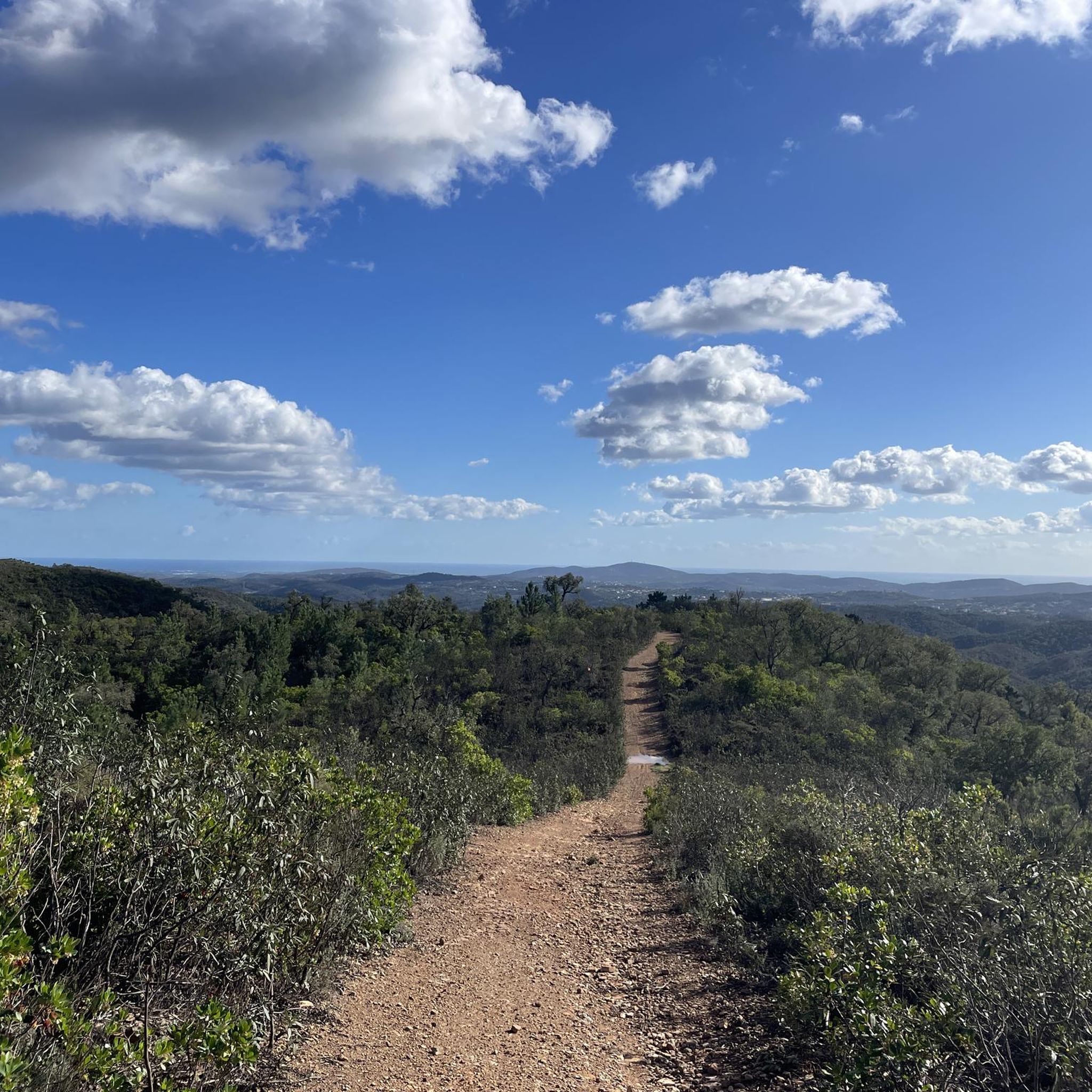
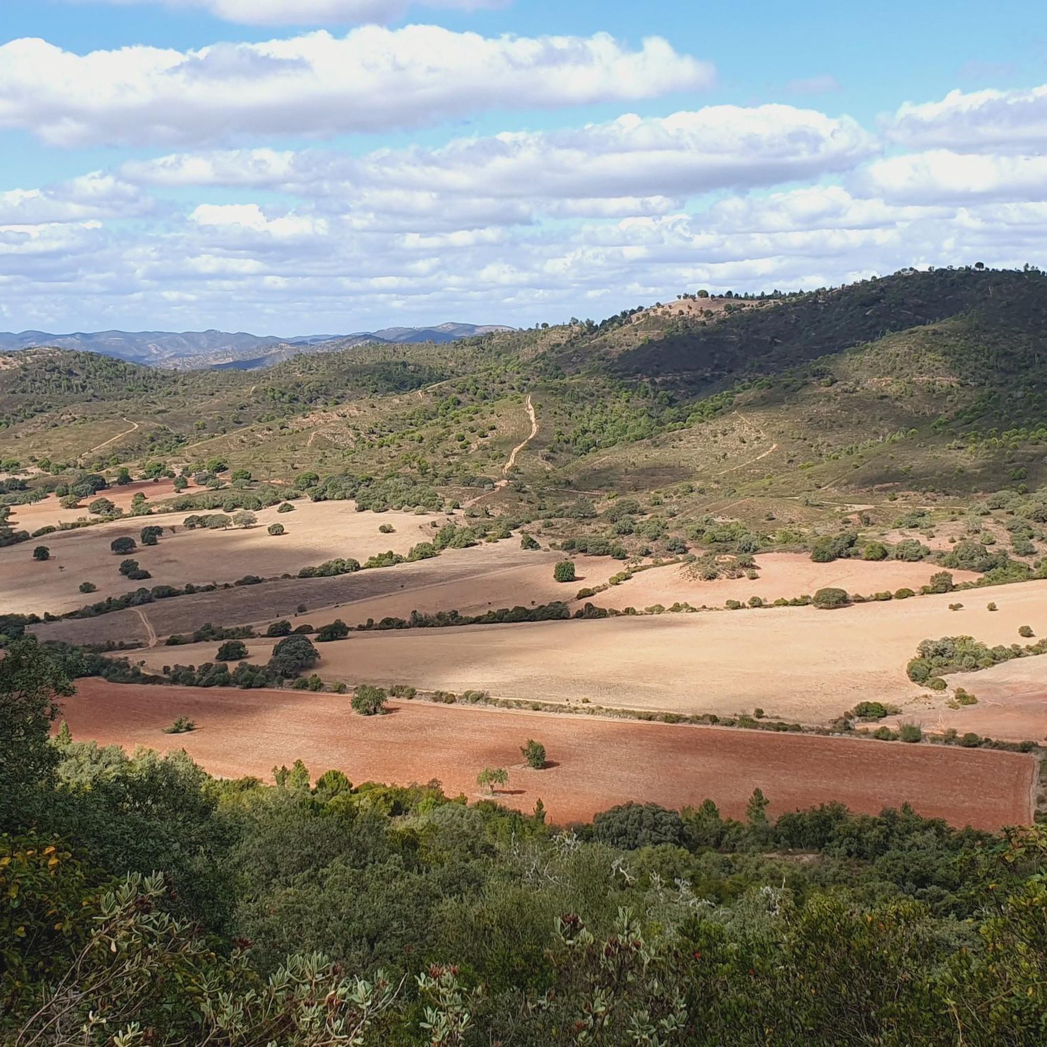
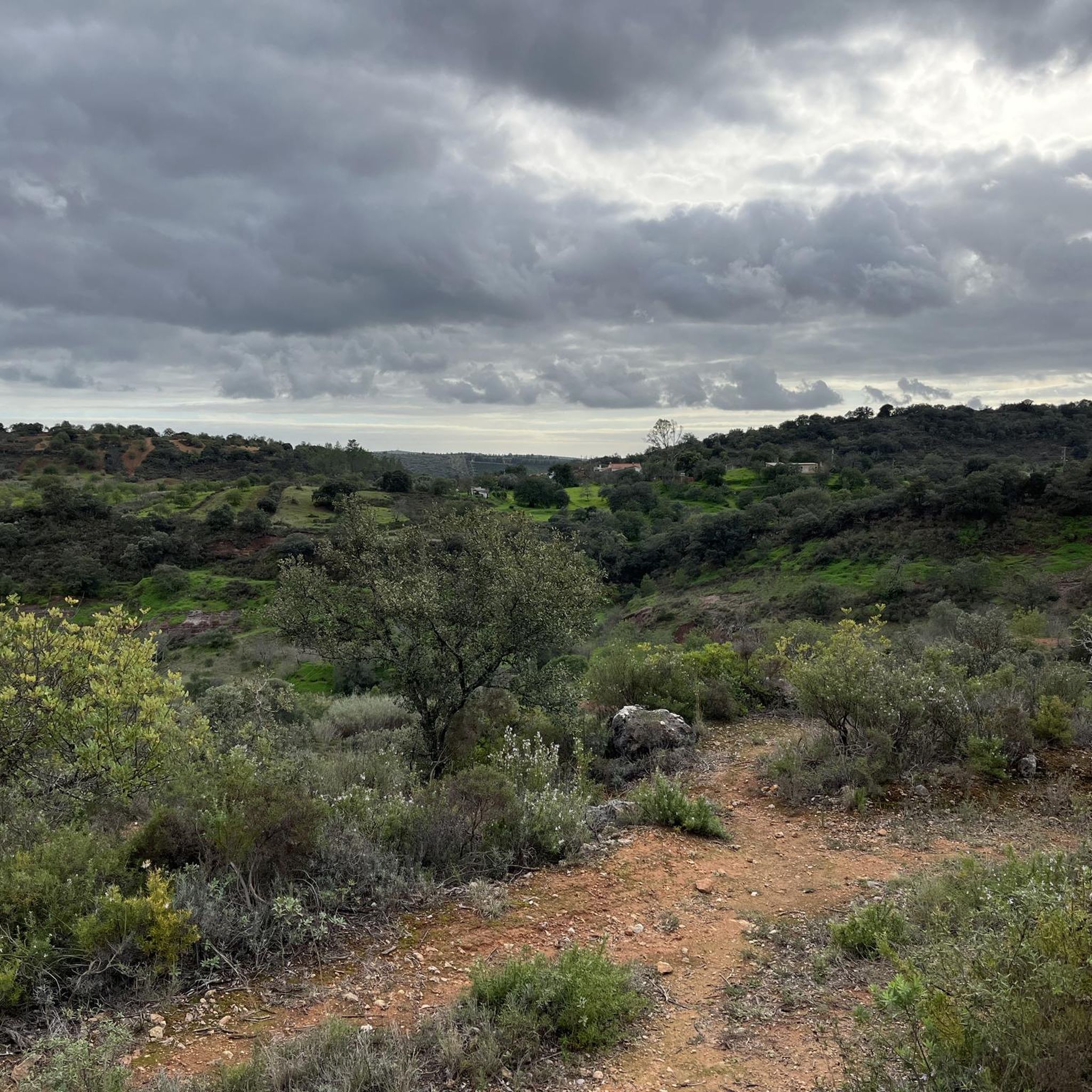
Other adventures around Salir

Tips from the Community


Loved this place delicious coffee and custard tarts with cheese and charcuterie boards to die for … super friendly Pedro was a great host!
0
0

A beautiful descent to Loulé through the Cerro da Zorra forest.
1
0
Quiet village, with cobbled streets, fireplaces, springs and the beautiful Queda do Vigário waterfall. In summer, the river beaches of Fonte Pequena and Fonte Grande, which are, in reality, bathing basins on the Alte river, are very pleasant.
0
0
The rock massif of Rocha dos Soidos rises about 10 km northeast of Alte. The 467 m high cliffs fall on the north side so the most beautiful view of the massif is from the north side.
0
0
This is a bike café dedicated exclusively to cyclists, in Alte (Loulé). It is a mandatory meeting point for cyclists traveling the roads and paths of the Algarve coast, as well as a stop to rest and sample typical cuisine.
1
0
A difficult climb, in Serra do Caldeirão, which leads to a high point with a fantastic view over the Algarve mountains.
1
0

From cyclist to cyclists. Welcoming. It has a small workshop for quick repairs as well as a small store with some replacement products. Mandatory visit.
0
0
Frequently Asked Questions
How many road cycling routes are available around Salir?
Salir offers a diverse selection of road cycling routes. You can find over 15 routes in the area, catering to various preferences and skill levels.
What kind of terrain can I expect when road cycling around Salir?
The region around Salir, nestled in the Serra do Caldeirão, features a captivating blend of 'barrocal' and uplands. Cyclists can expect a landscape of rolling hills and varied elevations, providing both challenging ascents and enjoyable descents. Prominent geological features like Rocha da Pena add to the scenic and dynamic terrain.
Are there road cycling routes suitable for different skill levels in Salir?
Yes, Salir offers routes for various abilities. While the majority are moderate (13 routes), there are also 4 difficult routes for experienced cyclists seeking a challenge, and 1 easy route for those looking for a more relaxed ride.
What are the typical durations for road cycling routes in Salir?
Route durations vary significantly. For instance, a challenging route like From Salir to Messines passing through Alto do Malhão — circular route can take around 3 hours 28 minutes. Shorter, moderate loops such as Alto do Malhão – Quinta do Freixo loop from Benafim can be completed in about 1 hour 4 minutes.
Are there any loop road cycling routes starting from Salir?
Yes, many routes around Salir are designed as loops, offering convenient starting and ending points. Popular options include From Salir to Messines passing through Alto do Malhão — circular route and Bike Café - Germano – Alto do Malhão loop from Salir.
What scenic viewpoints can I discover along road cycling routes in Salir?
The region boasts several stunning viewpoints. The Trig Point and Panoramic View at Rocha da Pena offers breathtaking vistas, including distant ocean views. Additionally, the ruins of Salir Castle provide a great viewpoint over the green hills of Serra do Caldeirão.
Are there any natural attractions or points of interest near the road cycling routes?
Absolutely. You can find beautiful natural features such as the Source of the Benémola Stream and Fonte Grande de Alte, a natural spring pool. The Fonte Benémola Nature Reserve is also a stunning area with diverse plant and animal species.
What do other road cyclists enjoy most about road cycling in Salir?
The road cycling experience in Salir is highly rated by the komoot community, with an average score of 4.6 stars from over 50 reviews. Cyclists often praise the varied terrain, the blend of 'barrocal' and uplands, and the challenging yet rewarding climbs, particularly around Alto do Malhão.
What is the best time of year for road cycling in Salir?
Spring is particularly beautiful, with wild orchids, narcissus, and wild peonies flourishing, adding to the scenic beauty. The region generally offers pleasant conditions for cycling outside of the hottest summer months, with varied terrain ensuring enjoyable rides throughout much of the year.
Are there any historical or cultural points of interest to explore near the routes?
Yes, Salir itself has a rich history, with archaeological remains and the ruins of Salir Castle offering a glimpse into the past. The village also lies within a UNESCO aspiring Geopark territory, highlighting its unique geological and cultural significance.
Where can I find parking when starting a road cycling route in Salir?
While specific parking areas aren't detailed for each route, Salir is a small village and a common starting point for many tours. You can typically find parking within the village or at designated areas near the start of popular routes, allowing easy access to the trails.
Are there any routes that pass through or near the Alto do Malhão?
Yes, Alto do Malhão is a prominent feature in many Salir road cycling routes, known for its significant climbs. Routes like From Salir to Messines passing through Alto do Malhão — circular route and Bike Café - Germano – Alto do Malhão loop from Salir incorporate this challenging and rewarding section.
Most popular attractions around Salir

Get inspired with the komoot mobile app


Explore more
Browse the best Road cycling routes in other regions.
