The best cycling routes around Mangualde Da Serra
4.2
(19)
374
riders
19
rides
Touring cycling around Mangualde Da Serra offers routes through the mountainous terrain of the Serra da Estrela region. The landscape is characterized by significant elevation changes, with many routes featuring substantial climbs and descents. This area provides challenging cycling experiences across varied natural environments. The region's topography makes it suitable for advanced cyclists seeking demanding routes.
Best touring cycling routes around Mangualde Da Serra
- The most popular touring cycling route is Circular Route 13 de Manteigas — Serra da Estrela…
Last updated: November 8, 2026
7
riders
31.6km
03:03
940m
930m
Hard bike ride. Very good fitness required. Mostly paved surfaces.
31
riders
60.0km
04:40
1,600m
1,590m
Hard bike ride. Very good fitness required. Mostly paved surfaces.

5.0
(1)
18
riders
79.7km
06:18
2,240m
2,240m
Hard bike ride. Very good fitness required. Mostly paved surfaces.
13
riders
103km
07:47
2,390m
2,390m
Hard bike ride. Very good fitness required. Mostly paved surfaces.
5
riders
61.0km
04:48
1,570m
1,570m
Hard bike ride. Very good fitness required. Mostly paved surfaces.
Get access to more routes and recommendations from other explorers.
Already have an account?
Our route recommendations are based on thousands of hikes, rides, and runs completed by other people on komoot.
Start today with a free account
Your next adventure awaits.
Popular around Mangualde Da Serra


Tips from the Community

Centrally located in the park and easily accessible via a beautiful, paved road is the Torre. This is the highest point of the Serra da Estrela mountain range; nowhere in continental Portugal can you go higher. Actually, the highest point is at 1,993 meters. A small tower of 7 meters on top of the mountain completes the 2,000 meters.
7
0

Offering breathtaking views of the southeastern slopes of the Serra da Estrela, Cova da Beira, and the charming city of Covilhã, the Varanda dos Carqueijais, which rises 1,130 meters above sea level, is a stunning suspended viewpoint, magnificently perched in the heart of the surrounding natural landscape. The suspended walkway was the best way to provide an excellent experience for visitors, creating a kind of amphitheater, a balcony overlooking the inspiring natural landscape. This viewpoint is an integral part of the viewpoint route, developed by the Municipality of Covilhã, with the aim of promoting the region's natural heritage.
0
0

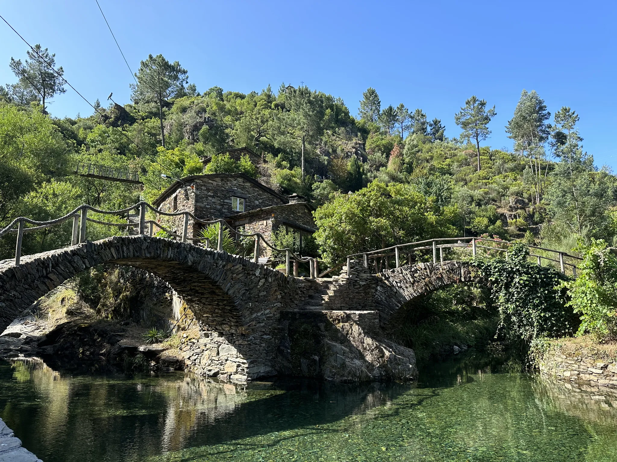
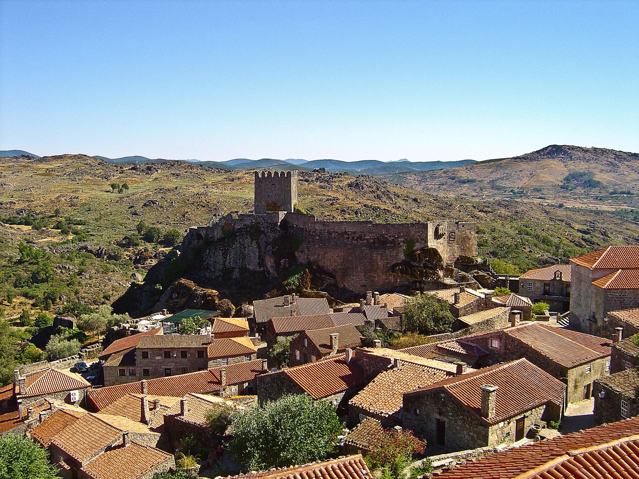
Sabugueiro, the village vying for the title of highest in Portugal, is also one of the most authentic ambassadors of mountain life. Among granite houses and comforting flavors (cheese, sausages, roast kid, and honey), you can find the warmth of blankets and burel coats and the company of the faithful Serra da Estrela mountain dogs. Surrounding waterfalls, streams, and lakes remind you that here, nature is as generous as the table.
3
0

The Serra da Estrela Natural Park is something truly special. This 1,000-square-kilometer park, spread across six municipalities, was the first and currently the largest protected natural park in Portugal. It is home to the highest point on the Portuguese mainland, the country's only ski slope, the source of two important rivers, and a fascinating, alpine-like landscape formed by glaciers.
5
1

At exactly 1993 meters above sea level, Torre is the highest point in mainland Portugal, where the only ski resort is located. The landscape on the upper plateau of the Serra da Estrela is like a sprinkling of granite rocks over low scrub and patches of snow and ice, which the sun threatens to melt soon in the summer and which always returns the following winter. In winter, it sometimes becomes inaccessible.
6
0

Gouveia is a picturesque Portuguese town and municipality located in the district of Guarda, on the northern edge of the Serra da Estrela Natural Park. With an elevated position that provides it with a mountain climate and picturesque views, Gouveia is considered one of the "gateways" to the highest mountain range in mainland Portugal. The town stands out for its rich historical and architectural heritage, with a charming old town characterized by narrow cobbled streets, traditional houses and monuments such as the Mother Church of São Pedro and the Paços do Concelho (Town Hall). Gouveia is also renowned for the production of the famous Queijo Serra da Estrela, a DOP sheep's cheese, and for its tradition of the Cão da Serra da Estrela dog breed. Its proximity to the Natural Park makes it an excellent base for exploring the natural beauty of the Serra.
0
0
The waters of the Rio Mondego originate here and you can find a fountain where you can fill your water bottle with fresh water!
3
0

Beautiful panoramic views from the highest point in Portugal. You can ski here in winter, and there is sometimes snow even in summer.
4
0
Frequently Asked Questions
How many touring cycling routes are available around Mangualde Da Serra?
There are over 20 touring cycling routes in the Mangualde Da Serra area. The vast majority, 17 of them, are classified as difficult, with 2 moderate and 1 easy route available.
Are there any easy touring cycling routes in Mangualde Da Serra for beginners?
While the region is primarily known for its challenging terrain, there is at least one easy touring cycling route available. However, most routes feature significant elevation changes and are better suited for experienced cyclists.
What kind of challenge can I expect on touring cycling routes near Mangualde Da Serra?
Touring cycling around Mangualde Da Serra is characterized by mountainous terrain and significant elevation changes. You can expect demanding routes with substantial climbs and descents, making it an ideal destination for advanced cyclists seeking a challenge.
Are there any circular touring cycling routes around Mangualde Da Serra?
Yes, many routes in the region are circular. For example, the Circular Route 13 de Manteigas — Serra da Estrela is a popular option, covering 19.6 miles (31.6 km) with nearly 3,000 feet of elevation gain.
What natural sights can I explore along touring cycling routes near Mangualde Da Serra?
The region offers stunning natural beauty. You can encounter features like the Hidden cascade at Poço do Inferno, enjoy panoramic views from the View of the Zêzere Glacial Valley, or pass by the serene Long Lake.
Are there any notable landmarks or historical sites accessible by bike in the region?
Yes, the area is rich in points of interest. Cyclists can reach the Torre (Serra da Estrela Summit), which is the highest point in mainland Portugal, or discover the historical Casa do Juiz (Nave da Mestra).
What do other touring cyclists say about the routes in Mangualde Da Serra?
The touring cycling routes in Mangualde Da Serra are highly rated by the komoot community, with an average score of 4.6 stars from over 18 reviews. Cyclists often praise the challenging climbs and the spectacular panoramic views of the Serra da Estrela.
What are some of the longer touring cycling routes in the Mangualde Da Estrela area?
For a longer ride, consider the Serra da Estrela – Sabugueiro loop from Sabugueiro, which spans over 68 miles (110 km) with significant elevation gain, offering an extensive exploration of the region.
Can I find routes with significant elevation gain for a challenging ride?
Absolutely. The region is defined by its substantial elevation changes. A route like the Serra da Estrela – Covão d'Ametade loop from Manteigas covers 49.9 miles (80.3 km) and features over 7,300 feet (2,200 meters) of ascent, providing a truly challenging experience.
Is public transport available to access touring cycling routes in Mangualde Da Serra?
Information regarding specific public transport options directly to the trailheads is not readily available. It is advisable to check local transport services or consider driving to a starting point with parking facilities.
Where can I find parking for touring cycling routes in Mangualde Da Serra?
While specific parking areas for all routes are not detailed, many trailheads or nearby villages, such as Manteigas or Sabugueiro, often provide designated parking. For instance, the Bike loop from Estacionamento do Mondeguinho starts from a known parking location.
Most popular attractions around Mangualde Da Serra

Get inspired with the komoot mobile app


Explore more
Browse the best Cycling routes in other regions.
