The best walks and hikes around Videmonte
4.5
(289)
1,570
hikers
41
hikes
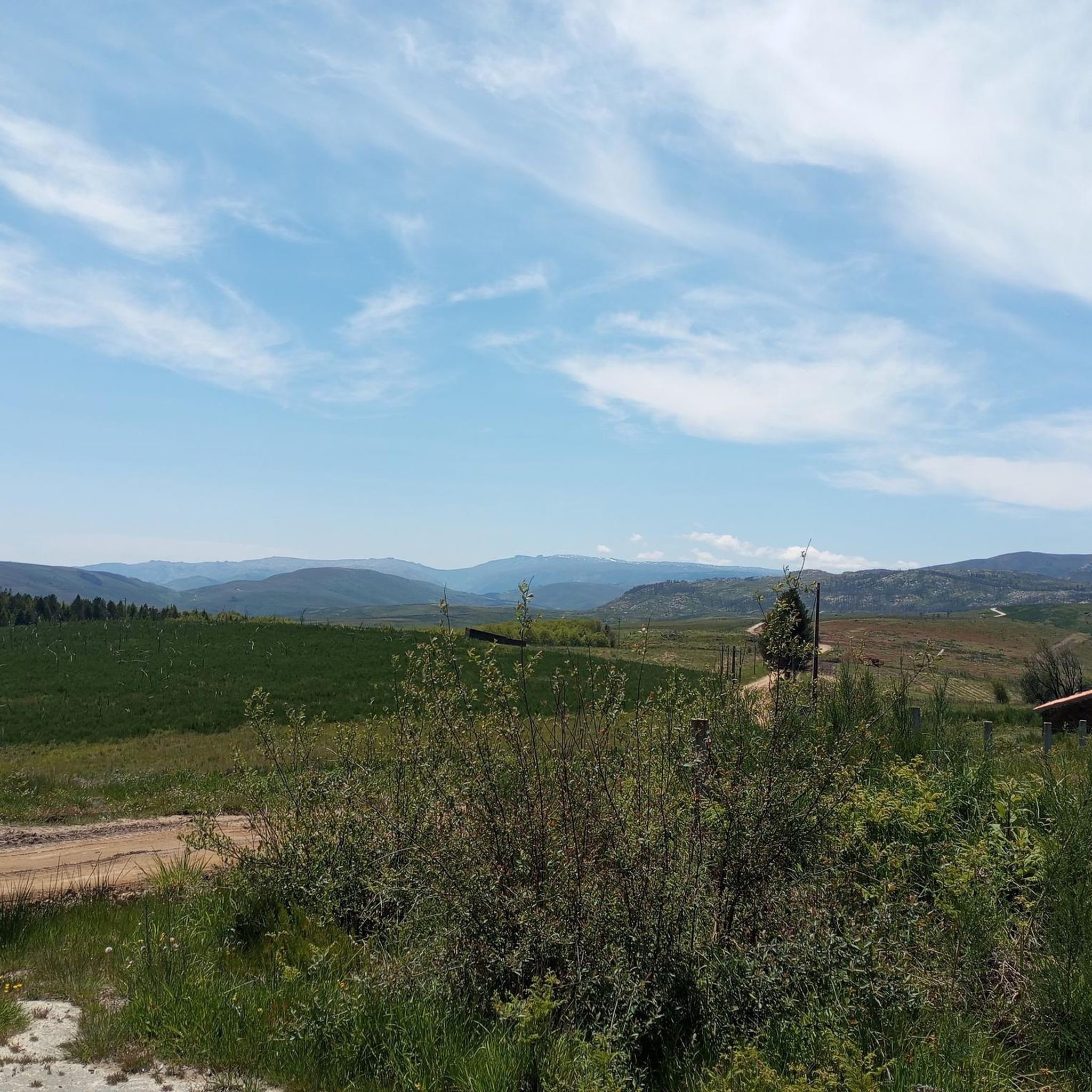
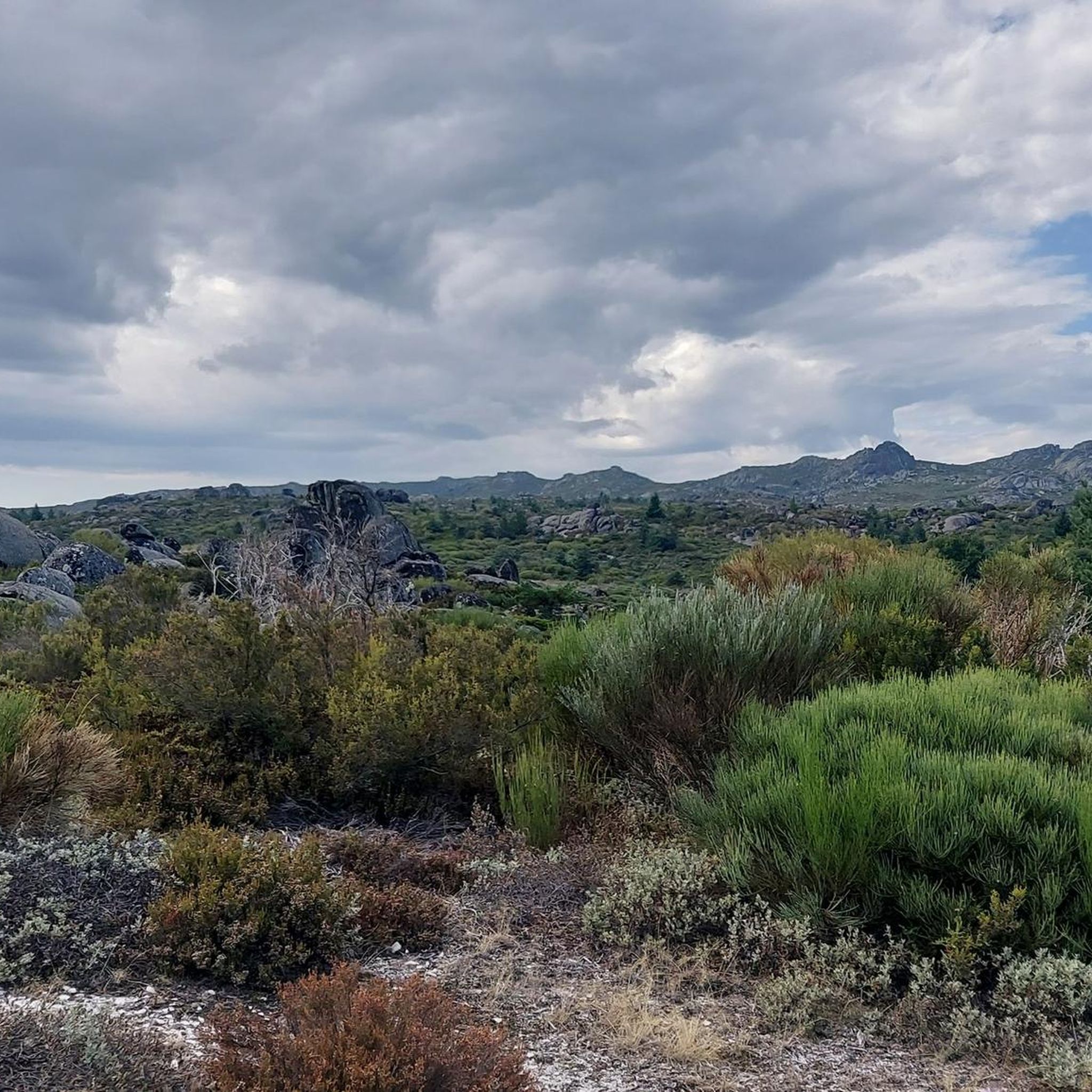
Hiking around Videmonte offers diverse terrain within the Serra da Estrela Natural Park, characterized by its elevated location and varied landscapes. The region features schist and granite houses, the flowing Mondego River, and the Videmonte Plateau at an average altitude of 1300 meters. This area provides a mix of mountain scenery, river valleys, and open pastures, with the Cabeça Alta geodesic landmark reaching 1287 meters.
Best hiking trails around Videmonte
- The most popular hiking route is Mondego Walkways Trail,…
Last updated: November 7, 2026
4.7
(70)
743
hikers
11.9km
03:30
250m
420m
Moderate hike. Good fitness required. Easily walkable paths.
4.6
(8)
66
hikers
5.76km
01:42
160m
160m
Easy hike. Easily walkable paths.

5.0
(8)
58
hikers
15.5km
04:32
380m
380m
Moderate hike. Good fitness required. Easily walkable paths.
4.8
(8)
17
hikers
Moderate hike. Good fitness required. Easily walkable paths.
4.7
(6)
12
hikers
3.96km
01:12
140m
140m
Easy hike. Easily walkable paths.
Get access to more routes and recommendations from other explorers.
Already have an account?
Our route recommendations are based on thousands of hikes, rides, and runs completed by other people on komoot.
Start today with a free account
Your next adventure awaits.
Tips from the Community

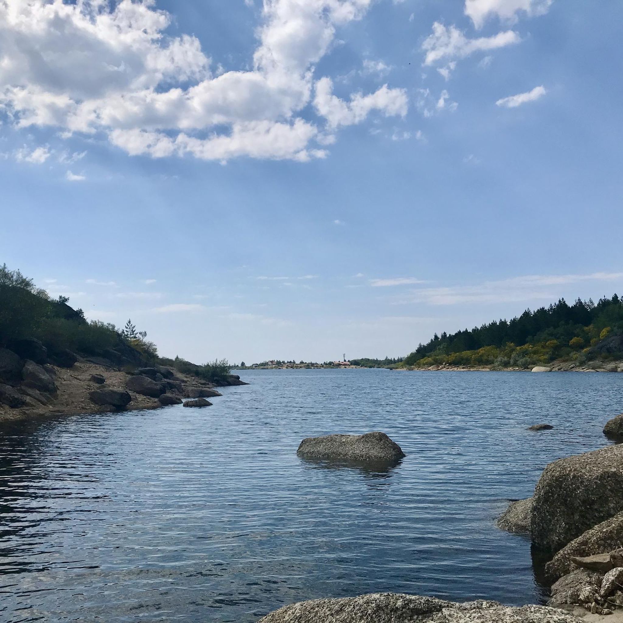
Place to bathe in the river, with swing, toilets and parking
0
0

A beautiful hike through the valley (depending on your starting point, the ascent or descent will be more pronounced). Start as early as possible, while the sun is still behind the mountain range. Online tickets only (no payment on site). Take a screenshot of your ticket (QR code). This will be scanned when exiting or re-entering (if you want to go back). Bring plenty of water. The sun will come out around 10:00 a.m. (I hiked it in October). Parking is available right next to the upper starting point. The lower trailhead is about 500 meters away (coming from Chãos, turn left before the dam).
2
0

A historic village of undeniable beauty. Thank you for sharing the photos.👍🥾🚲
0
0

Linhares da Beira is steeped in centuries of history. Founded, apparently, in the 6th century BC by the Turduli, it saw the passage of the Lusitanians, Romans, and Visigoths, who made it the seat of their diocese. It was the scene of Moorish legends, recovered by the kings of León and later by Afonso Henriques, who granted it a charter in 1169 and integrated it into the region's defensive line. Over time, it welcomed Jews, resisted invasions, and lost its municipality in 1842, but never its soul. Today, it is proud to be one of the 12 Historic Villages of Portugal, where every stone tells a piece of the past.
3
0
I did it and I recommend it. A very pleasant route, with spectacular views. A suspension bridge creates some adrenaline for those less experienced in these walks.😂
2
1
The Mondego Walkways are a series of wooden walkways that form a pedestrian itinerary along the banks of the Mondego River and the Caldeirão Stream. It begins at the arch of the Caldeirão Dam and ends near the village of Videmonte. Walking on walkways, suspension bridges, and dirt roads, the route is about 12 kilometers long and has a cumulative elevation gain of over 600 meters. I've been there before and loved the views. I recommend it. 👍🥾
2
0

Wear a hat and sunscreen in the summer. Bring water.
2
1

The bar is a perfect place to start the Passodiços do Mondego from Videmonte - there is a shady terrace and there is also a swimming area by the bridge.
2
0
Frequently Asked Questions
What kind of terrain can I expect when hiking around Videmonte?
Videmonte, located within the Serra da Estrela Natural Park, offers a diverse landscape. You'll encounter mountainous terrain with schist and granite formations, river valleys carved by the Mondego River, and the elevated Videmonte Plateau, which features rye fields and pastures. Elevations can reach up to 1287 meters at the Cabeça Alta geodesic landmark, providing varied challenges and scenic views.
Are there many hiking trails available in Videmonte?
Yes, Videmonte offers a wide range of hiking opportunities. There are over 40 trails in the area, catering to various skill levels, from easy strolls to more challenging mountain ascents. The komoot community has explored these routes extensively, with over 1300 hikers using the platform to discover the region.
What natural attractions or landmarks can I see along the hiking trails?
The trails around Videmonte are rich with natural beauty and points of interest. You can explore the impressive Caldeirão Waterfall, known for its unique pink and orange tones, or visit the Alto Mondego Viewpoint for spectacular river valley vistas. The Mondego Boardwalks themselves are a major attraction, offering a unique way to experience the river's course.
Are there any family-friendly hiking options in Videmonte?
Absolutely. For families looking for an easier experience, the Mondego Boardwalks loop from Videmonte is an excellent choice. This easy 3.6-mile (5.8 km) path offers pleasant views along the river and through the local landscape, typically taking less than two hours to complete.
Can I find circular hiking routes in the Videmonte area?
Yes, Videmonte offers several circular routes. A popular option is the Caldeirão Waterfall – Mondego Boardwalks loop from Maçainhas, a moderate 9.6-mile (15.4 km) trail that takes you through river valleys and past the Caldeirão Waterfall. Another easy circular option is the Mondego Boardwalks loop from Videmonte.
What is the best time of year to go hiking in Videmonte?
Videmonte is part of the Serra da Estrela Natural Park, which experiences distinct seasons. While hiking is possible for much of the year, spring and autumn generally offer the most pleasant conditions with milder temperatures and vibrant landscapes. Summer can be warm, especially at lower altitudes, while winter brings colder temperatures and the possibility of snow at higher elevations, offering a different kind of hiking experience.
Are there any waterfalls to discover on the trails?
Yes, Videmonte is home to several beautiful waterfalls. The most notable is the impressive Caldeirão Waterfall, also known as Cascata da Ribeira do Caldeirão, which is a 50-meter high waterfall with unique pink and orange tones. You can experience it on routes like the Caldeirão Waterfall – Mondego Boardwalks loop from Maçainhas.
What do other hikers say about the trails in Videmonte?
The hiking trails in Videmonte are highly regarded by the komoot community, boasting an average rating of 4.6 stars from over 240 reviews. Hikers often praise the diverse landscapes, the well-maintained Mondego Boardwalks, and the stunning natural features like the Caldeirão Waterfall and panoramic viewpoints.
Are there any wild swimming spots near the hiking trails?
The Mondego River flows through Videmonte, offering opportunities for refreshing dips. The River Beach of Quinta da Taberna, located near a small settlement, provides a tranquil spot along the river for swimming and relaxation, especially after a hike.
Are there any easy hiking trails for beginners in Videmonte?
Beginners will find several accessible options. The Mondego Boardwalks loop from Videmonte is an easy 3.6-mile (5.8 km) path, perfect for those new to hiking. Another easy option is the Hiking loop from Linhares, which is shorter at 2.4 miles (3.9 km).
What is the highest point I can reach on a hike in Videmonte?
The highest point within the municipality of Videmonte is the Cabeça Alta geodesic landmark, which stands at 1287 meters. While not all trails lead directly to it, many routes in the area offer significant elevation gains and panoramic views of the upper massif of Serra da Estrela.
Are there options for longer, more challenging hikes?
Yes, for experienced hikers seeking a challenge, Videmonte offers more difficult routes. While specific long, difficult routes are not detailed here, the region's mountainous terrain within the Serra da Estrela Natural Park provides ample opportunities for extended and strenuous hikes, often involving significant elevation changes.
Most popular attractions around Videmonte

Get inspired with the komoot mobile app


Explore more
Browse the best Hikes in other regions.
