The best running trails around Pereiro De Palhacana
5.0
(1)
112
runners
20
runs
Jogging routes around Pereiro De Palhacana traverse a landscape characterized by hilly terrain and rural areas. The region features varied elevations, including climbs with gradients between 10% and 14%, offering challenging running experiences. Natural features include the Montejunto Mountains, providing panoramic views from elevated points, and agricultural land. Historical landmarks such as Forte da Archeira and Ermida de Nossa Senhora do Socorro are situated on higher ground, integrating physical challenge with points of interest.
Best jogging routes around Pereiro De…
Last updated: May 11, 2026
2
runners
10.7km
01:18
270m
280m
Moderate run. Good fitness required. Mostly paved surfaces. Suitable for all skill levels.
10
runners
27.6km
03:31
740m
740m
Hard run. Very good fitness required. Mostly paved surfaces. Suitable for all skill levels.

Sign up for free
6
runners
9.49km
01:03
150m
150m
Moderate run. Good fitness required. Mostly paved surfaces. Suitable for all skill levels.
9
runners
12.4km
01:25
70m
70m
Moderate run. Good fitness required. Mostly paved surfaces. Suitable for all skill levels.
7
runners
18.6km
02:18
550m
550m
Hard run. Very good fitness required. Mostly paved surfaces. Suitable for all skill levels.
Get access to more routes and recommendations from other explorers.
Sign up for free
Already have an account?
Our route recommendations are based on thousands of hikes, rides, and runs completed by other people on komoot.
Start today with a free account
Your next adventure awaits.
Login or Signup
Tips from the Community

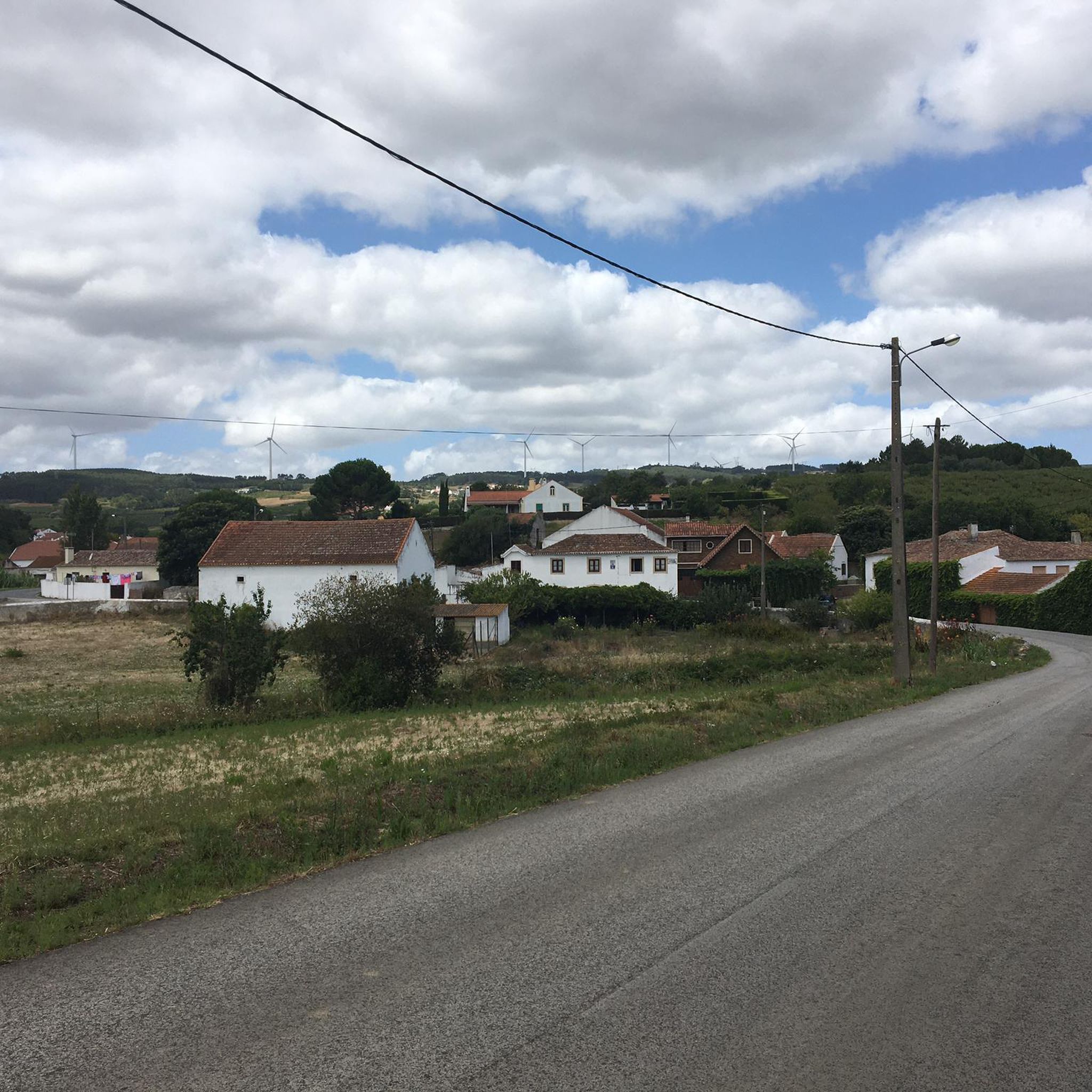
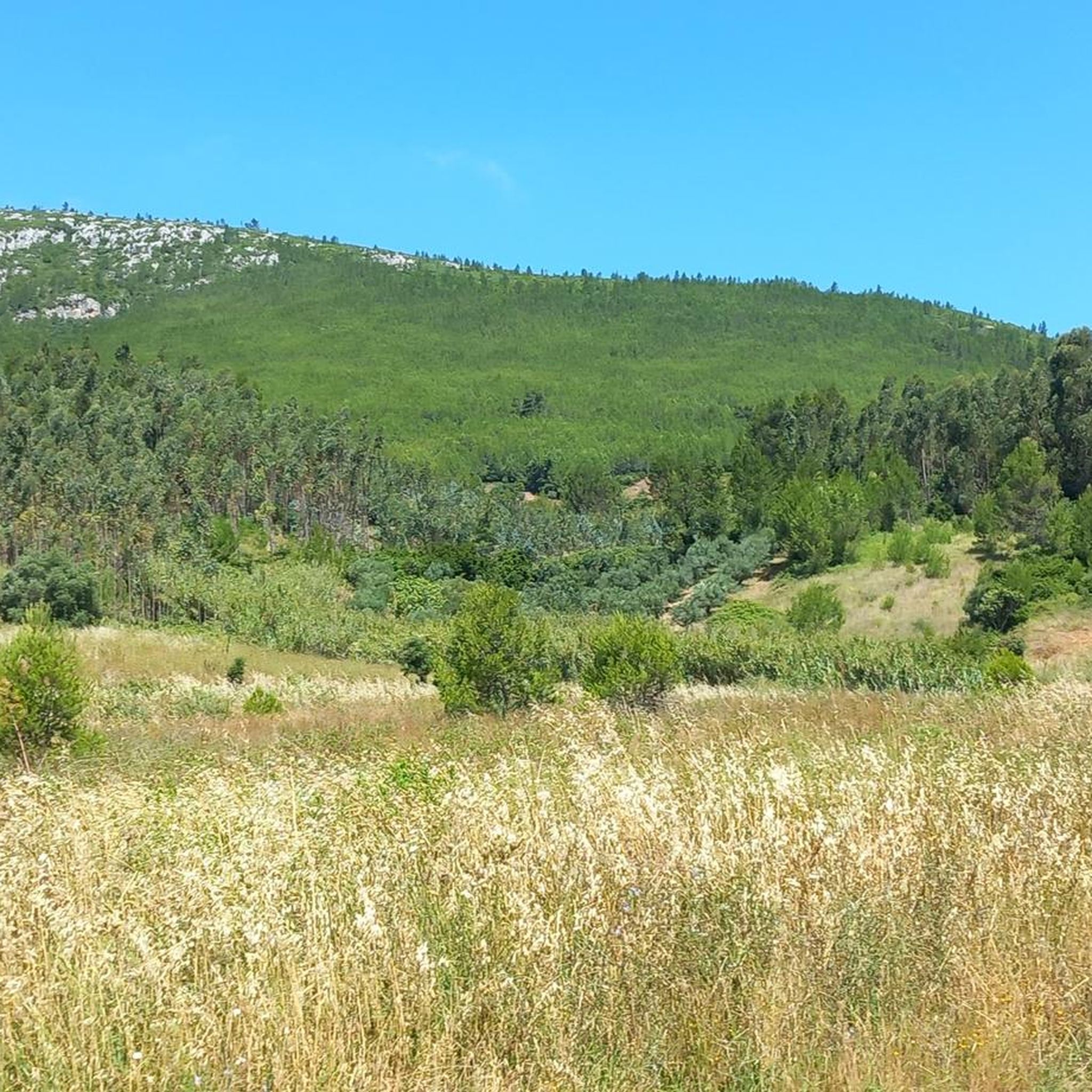
Section of the path on a gravel road that runs alongside the wind farm. The feeling of walking next to a large rotating wind blade is interesting to say the least. Panoramic views of Serra da Archeira.
0
0
Very beautiful chapel with simple architecture in the center of the village of Furadouro. Largo da Capela - and its small car park - is an ideal point for exploring the Archeira mountain range.
0
0
Forte da Archeira, part of the Lines of Towers defensive north of Lisbon during the Peninsular War, is a military fortification located at an altitude of 345 m. It was part of the 1st Defensive Line with the forts of Catefica and Feiteira. Despite not having gunboats, it has traces of a magazine. It forms part of the Lines of Torres, a system of 152 fortifications stretching over 80 km, built between 1809 and 1812 to prevent the advance of Napoleonic troops.
2
0
Sobral de Monte Agraço, in the district of Lisbon, is a historic village with 2,900 inhabitants, integrated into the municipality of 10,541 inhabitants, divided into three parishes. It stood out in the Peninsular War, integrating the Lines of Torres, and was elevated to the county seat in 1821. It has the Church of São Quintino, a National Monument in the Manueline style.
1
0
Frequently Asked Questions
How many running routes are available in Pereiro De Palhacana?
Pereiro De Palhacana offers a good selection of running routes, with over 20 trails to explore. These routes vary in difficulty, catering to different fitness levels.
What kind of terrain can I expect on the jogging routes around Pereiro De Palhacana?
The region is characterized by its hilly terrain and rural charm. Joggers can expect routes with significant climbs, some featuring gradients between 10% and 14%, offering a good workout. The landscape also includes agricultural land and offers views towards the Montejunto Mountains.
Are there any easy or beginner-friendly running paths in Pereiro De Palhacana?
While there are no routes specifically classified as 'easy' in our current selection, there are 15 routes considered 'moderate'. These include options like the Running loop from Sobral de Monte Agraço, which is 5.9 miles (9.5 km) long and leads through rural landscapes.
Can I find long-distance running trails in the area?
Yes, for those seeking a longer challenge, Pereiro De Palhacana offers difficult routes such as the Miradouro da Giesteira – Forte do Passo loop from Arruda dos Vinhos. This path is 17.2 miles (27.6 km) long and includes significant elevation gain, passing by viewpoints and historical fortifications.
What interesting landmarks or viewpoints can I see along the running routes?
Many routes offer opportunities to discover historical sites and panoramic views. You might encounter the Forte da Archeira, a military fortification at 345 meters altitude, or the Ermida de Nossa Senhora do Socorro, a hermitage at a mountain summit, both offering expansive vistas. The Surkapas Swing with a View of the Montejunto Mountains is another notable viewpoint.
Are there any circular running routes available?
Yes, many routes in the area are circular, allowing you to start and finish at the same point. A popular example is the Route of Serra da Archeira — circular route, which is 6.6 miles (10.7 km) long and offers a moderate challenge.
What do other runners say about the trails in Pereiro De Palhacana?
The running routes in Pereiro De Palhacana are highly rated by the komoot community, with an average score of 5.0 stars. Runners often praise the varied terrain, the challenging climbs, and the rewarding panoramic views, especially towards the Montejunto Mountains.
Are the running trails suitable for families?
While the region features hilly terrain and some challenging climbs, many routes traverse rural landscapes which can be enjoyable for families. It's advisable to check the difficulty and length of specific routes, such as the moderate Running loop from Alenquer, to ensure they match your family's fitness level.
Is there parking available near the trailheads?
Information on specific parking facilities for each trailhead is not always detailed. However, given the rural nature of the area and the presence of attractions like Forte da Archeira and the Surkapas Swing, it is generally possible to find parking in nearby villages or designated areas close to popular starting points.
Can I combine my run with a visit to a cultural site?
Absolutely! The region is rich in historical and cultural sites. You could plan a run that passes by the Alenquer Wine Museum or incorporates a visit to the historical Forte da Archeira, which is part of the Lines of Torres.
Are there any specific climbs or challenging sections for experienced runners?
Yes, experienced runners looking for a challenge will appreciate the region's steep inclines. The 'Socorro Climb' is a recognized feature, and many routes, particularly those leading to elevated points like Forte da Archeira or Ermida de Nossa Senhora do Socorro, involve gradients between 10% and 14%.
What natural features can I expect to see while running?
Beyond the hilly terrain and agricultural lands, you'll be treated to views of the Montejunto Mountains. Some routes may also pass by natural monuments like the Cabeço de Meca Quarry Lake, offering diverse scenery during your run.
Most popular attractions around Pereiro De Palhacana

Get inspired with the komoot mobile app


Explore more
Browse the best Running Trails & Routes in other regions.
