The best walks and hikes around Ribafria
4.5
(33)
59
hikers
13
hikes
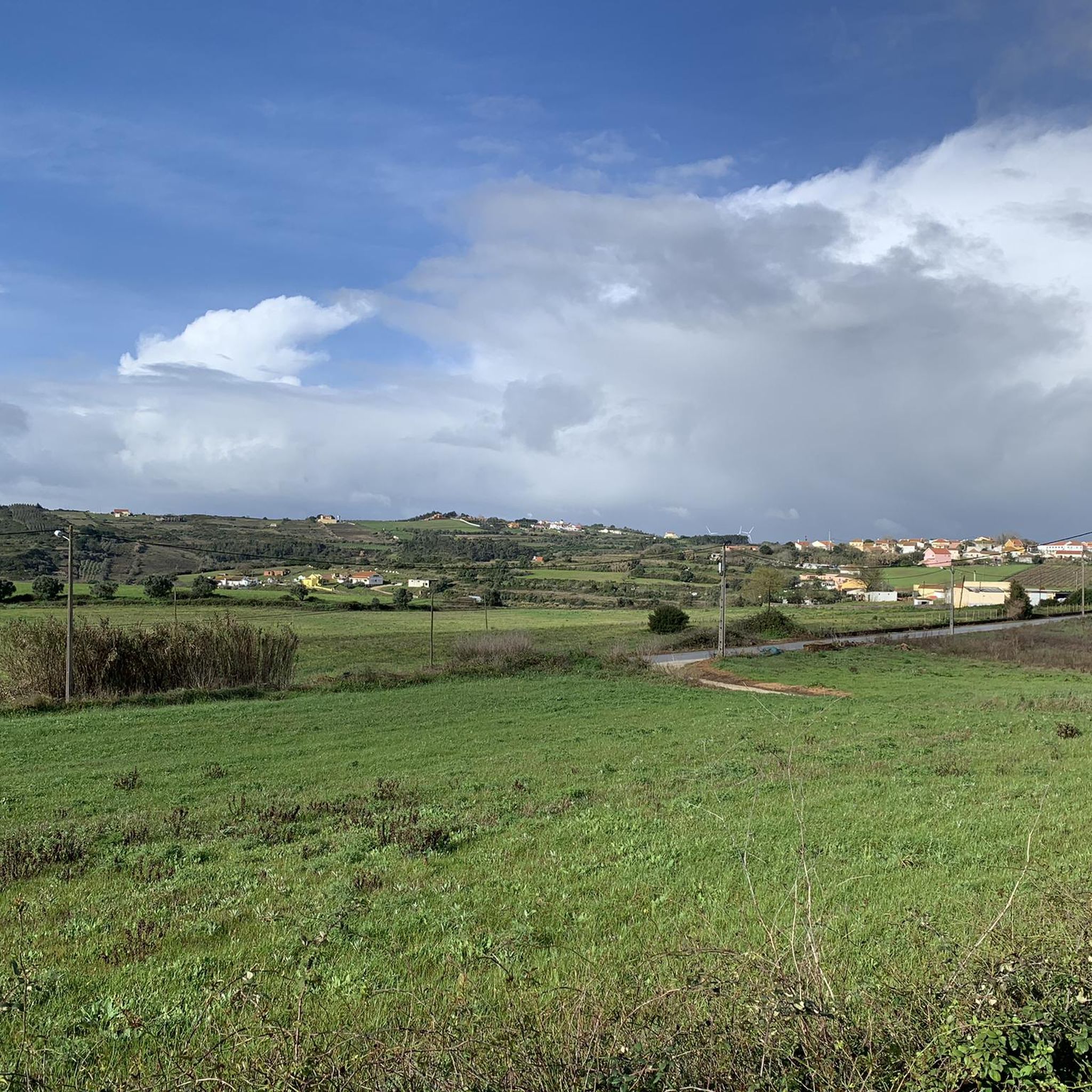
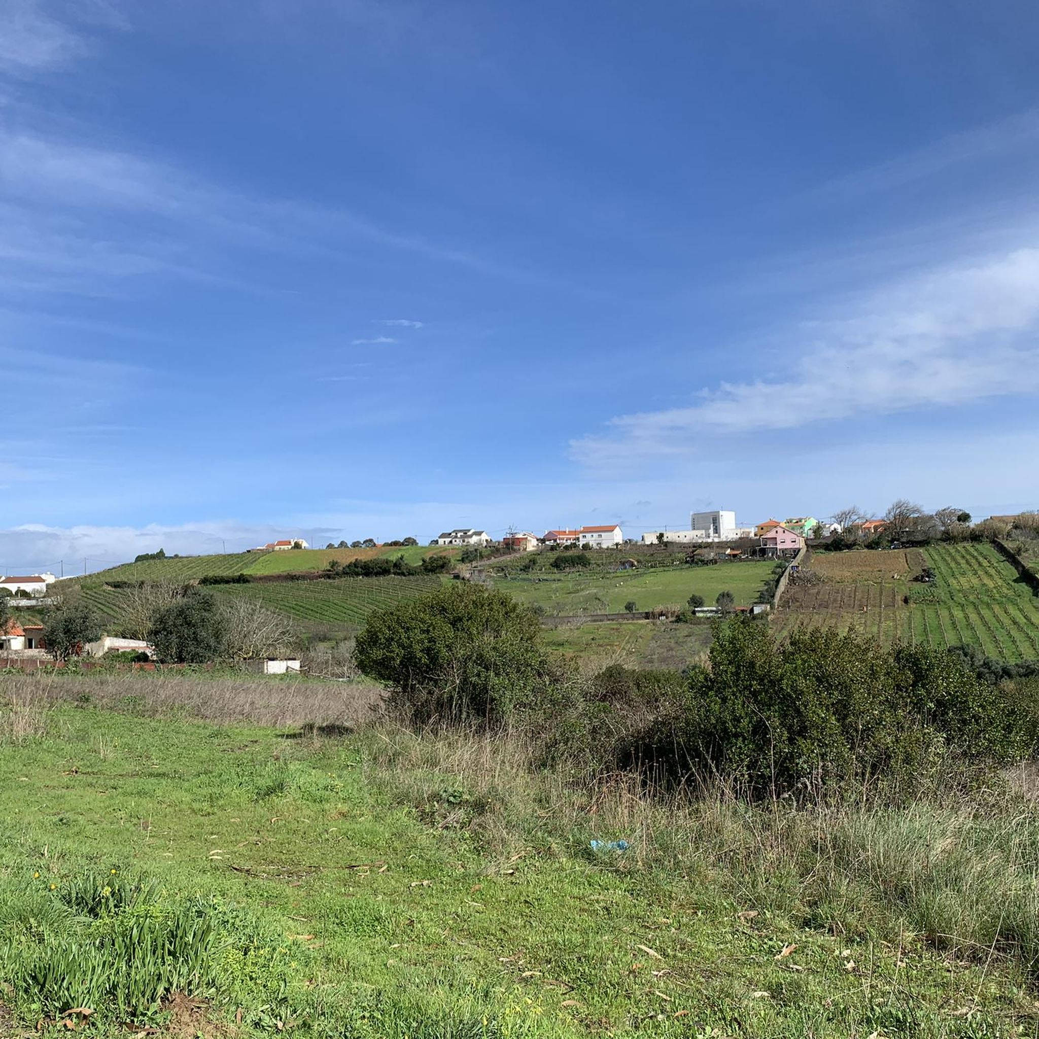
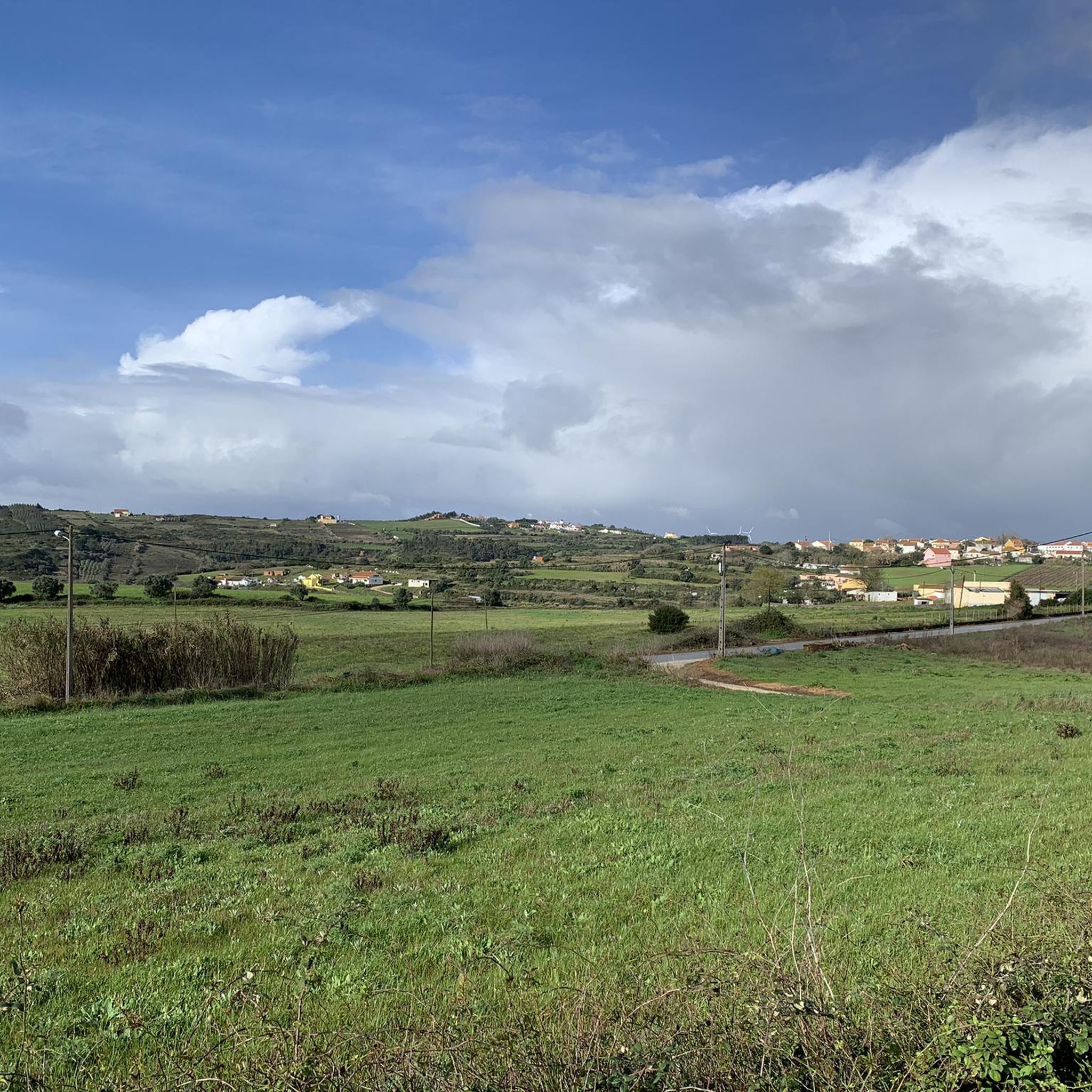
Hiking around Ribafria offers a diverse landscape characterized by varied terrain, including valleys and gentle inclines. The region features a mix of natural and cultural points of interest, providing different environments for outdoor exploration. Trails often traverse open areas and can include features like karstic canyons.
Best hiking trails around Ribafria
- The most popular hiking route is Ota Karstic Canyon Trail, a 4.2 miles (6.7 km) trail that takes 1 hour 56 minutes to complete. This easy route explores…
Last updated: November 7, 2026
4.0
(4)
9
hikers
6.71km
01:56
150m
150m
4.0
(7)
10
hikers
10.0km
02:50
230m
230m

5.0
(1)
3
hikers
8.74km
02:29
190m
190m
Moderate hike. Good fitness required. Easily walkable paths.
5.0
(5)
3
hikers
Moderate hike. Good fitness required. Easily walkable paths.
5.0
(1)
2
hikers
6.37km
01:47
130m
130m
Easy hike. Easily walkable paths.
Get access to more routes and recommendations from other explorers.
Already have an account?
Our route recommendations are based on thousands of hikes, rides, and runs completed by other people on komoot.
Start today with a free account
Your next adventure awaits.

Tips from the Community

The area of the springs, on the Ota River, was once a leisure area for the local population, including the local bathing area in the summer. This site remained natural for a long time after the EPAL was installed, but at a certain point, the intensification of agriculture with the use of chemical fertilizers and pesticides, intensive livestock farming, and urban sewage made the flow from upstream a polluting threat to EPAL's water intakes, and EPAL paved several dozen meters of the river course near the site where it is installed with reinforced concrete.
1
0
At this location at the top of the Serra de Montejunto, also known as "Torre" due to the various antennas that were installed there, is the Chapel of Our Lady of the Snows, which may have been built in the 13th century and remodelled and expanded during the 16th century and later. Inside, the altars covered with 17th century tiles and the altarpiece of the main altar, from the 18th century, stand out. Next to the Chapel of Our Lady of the Snows, are the ruins of what is considered to be the first Dominican Convent in Portugal, built in the 12th century and abandoned after the extinction of the religious orders, and is currently in ruins. Also nearby are the ruins of the Royal Ice Factory, classified as a National Monument. Here, in the 18th century, the Dominican monks took advantage of the climatic and geological conditions and opened large tanks connected by narrow passages, one part for the production of ice and the other for its preparation, storage and conservation. The ice was later transported to Lisbon, to supply the court and the café at Terreiro do Paço, later known as Martinho da Arcada (Fernando Pessoa's Café)
2
0

Short hike from Chã to the beautiful viewpoint with a swing.
2
0

Don't give up to reach the highest point, small plate and bigger careto from the foot 📈
0
0

The Nossa Senhora das Neves Chapel, located at the top of the Serra de Montejunto, has been a place of pilgrimage since the medieval period, prior to the construction of the first Dominican monastery in the 13th century.
1
0
The Ota River has its source in the Montejunto mountain range. It flows through the Ota area and empties into the Alenquer River, which in turn meets the Tagus River near Vila Nova da Rainha. At this point the river is close to the village of the same name, Ota.
1
0
Point where you can observe the region in Serra de Ota. The route is also frequented by mountain bikers, and can be covered without any major difficulties on foot.
0
0
One of the many swings in the area. It provides a breathtaking landscape of the region - as well as fun.
1
0
Frequently Asked Questions
How many hiking trails are available around Ribafria?
Ribafria offers a selection of around 14 hiking trails. These routes cater to various skill levels, from easy walks to more challenging excursions, allowing you to explore the region's diverse landscapes.
Are there easy hiking trails suitable for beginners or casual walkers in Ribafria?
Yes, Ribafria has 5 easy hiking trails. A great option is the Ota Karstic Canyon Trail, which is 4.2 miles (6.7 km) long and takes about 2 hours to complete, offering a gentle exploration of a distinctive geological feature.
What kind of terrain can I expect on the hiking trails in Ribafria?
The hiking trails around Ribafria feature a diverse landscape, including valleys and gentle inclines. You'll encounter a mix of natural environments and cultural points of interest, with some routes traversing open areas and distinctive features like karstic canyons.
Are there any challenging hikes for experienced trekkers in Ribafria?
Yes, for those seeking a more demanding experience, Ribafria offers 1 difficult trail. The Meia Encosta Trail loop from Abrigada is a challenging 11.2 miles (18 km) route with significant elevation changes, typically taking over 5 hours to complete.
Are there family-friendly hiking options in Ribafria?
Many of the easy and moderate trails in Ribafria are suitable for families. The varied terrain and points of interest along the way can make for an engaging outing. Consider routes with shorter distances and less elevation gain for younger children.
What interesting sights or natural monuments can I see along the hiking trails?
Along the trails, you can discover several natural and man-made monuments. Highlights include the unique Ota Karst Canyon, the scenic Ota River, and the historic Windmills of Serra de Montejunto. You might also find viewpoints like the Surkapas Swing with a View of the Montejunto Mountains.
Are there circular hiking routes available in Ribafria?
Yes, several circular routes are available, allowing you to start and end your hike in the same location. An example is the Monte Agrico – Igreja de São Quintino loop from Sobral de Monte Agraço, a 5.6 miles (9 km) trail that explores hills and historical sites.
What do other hikers say about the trails in Ribafria?
The trails in Ribafria are highly regarded by the komoot community, holding an average rating of 4.5 stars from over 30 reviews. Hikers often praise the diverse landscapes, the mix of natural and cultural points of interest, and the well-maintained paths.
Is there public transport access to the hiking trailheads in Ribafria?
While some trailheads might be accessible via local bus services, public transport options can be limited in rural areas like Ribafria. It's advisable to check local bus schedules in advance or consider driving to the starting points for greater flexibility.
Where can I find parking for hiking trails in Ribafria?
Parking availability varies by trailhead. Many routes, especially those starting in or near villages like Sobral de Monte Agraço or Abrigada, will have designated parking areas or roadside spots. It's recommended to check the specific route details on komoot for parking information related to your chosen trail.
What is the best time of year to go hiking in Ribafria?
The best time for hiking in Ribafria is generally during the spring (March to May) and autumn (September to November) months. During these periods, the weather is typically mild and pleasant, with comfortable temperatures for outdoor activities. Summers can be hot, and winters might bring cooler, wetter conditions.
Are there any cafes or facilities near the hiking trails?
While the trails themselves are often in natural settings, you'll find cafes, restaurants, and other facilities in the nearby towns and villages such as Sobral de Monte Agraço or Abrigada. It's a good idea to plan your refreshment stops before or after your hike.
Most popular routes around Ribafria
Most popular attractions around Ribafria

Get inspired with the komoot mobile app


Explore more
Browse the best Hikes in other regions.
