The best road cycling routes around Santo Antão Do Tojal
4.2
(61)
3,205
riders
111
rides
Road cycling around Santo Antão Do Tojal features a mix of rural landscapes and historical architecture. The region, situated in a plain with an average altitude of 42 meters, offers relatively flat terrain for cycling, with varied elevations on longer routes connecting to other areas. Cyclists can encounter views towards the Tagus Estuary and pass by the 18th-century Baroque complex, which includes the Archbishops' Palace and a 2-kilometer aqueduct.
Best road cycling routes around Santo Antão Do Tojal
- The most…
Last updated: July 21, 2026
5.0
(2)
62
riders
37.2km
02:02
450m
450m
Moderate road ride. Good fitness required. Some segments of this route may be unpaved and difficult to ride.
34
riders
59.8km
02:58
920m
920m
Hard road ride. Very good fitness required. Mostly well-paved surfaces and easy to ride.

Sign up for free
24
riders
61.5km
03:11
1,080m
1,080m
Hard road ride. Very good fitness required. Mostly well-paved surfaces and easy to ride.
9
riders
35.4km
01:50
630m
640m
Moderate road ride. Good fitness required. Mostly well-paved surfaces and easy to ride.
10
riders
42.1km
02:06
660m
660m
Moderate road ride. Good fitness required. Mostly well-paved surfaces and easy to ride.
Get access to more routes and recommendations from other explorers.
Sign up for free
Already have an account?
Our route recommendations are based on thousands of hikes, rides, and runs completed by other people on komoot.
Start today with a free account
Your next adventure awaits.
Login or Signup
Tips from the Community

Halfway between Sintra and Mafra lies the Chapel of St. Eulália. Despite its size, this building is actually a chapel, not a church, as one would expect. Outside the chapel, in the archway, there is a holy water font—a feature rarely found outside churches.
11
0

Beautiful area, great floor, exciting climbs and descents.
0
0

It can get quite steep, be careful on the descent! 🚲🚲
0
0

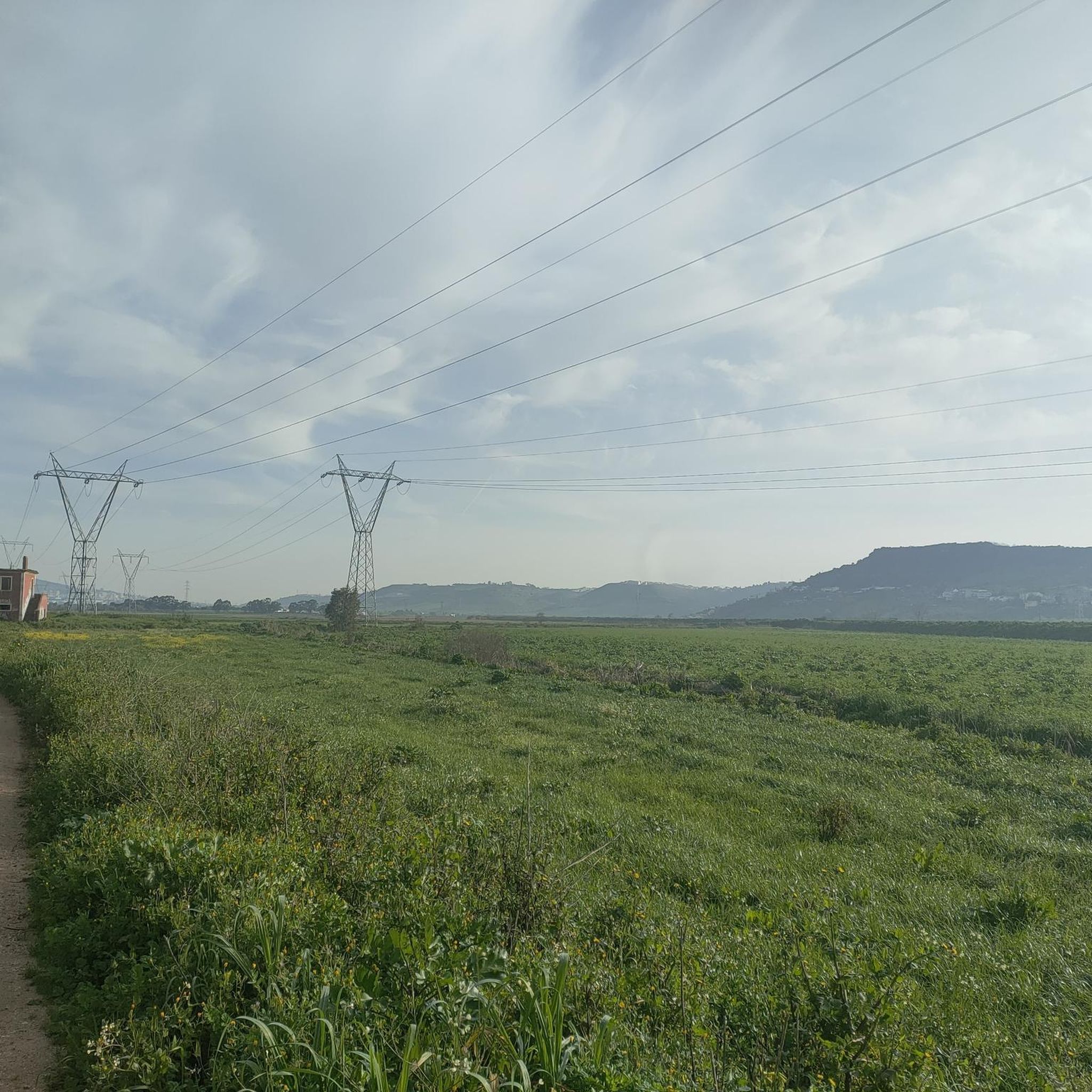
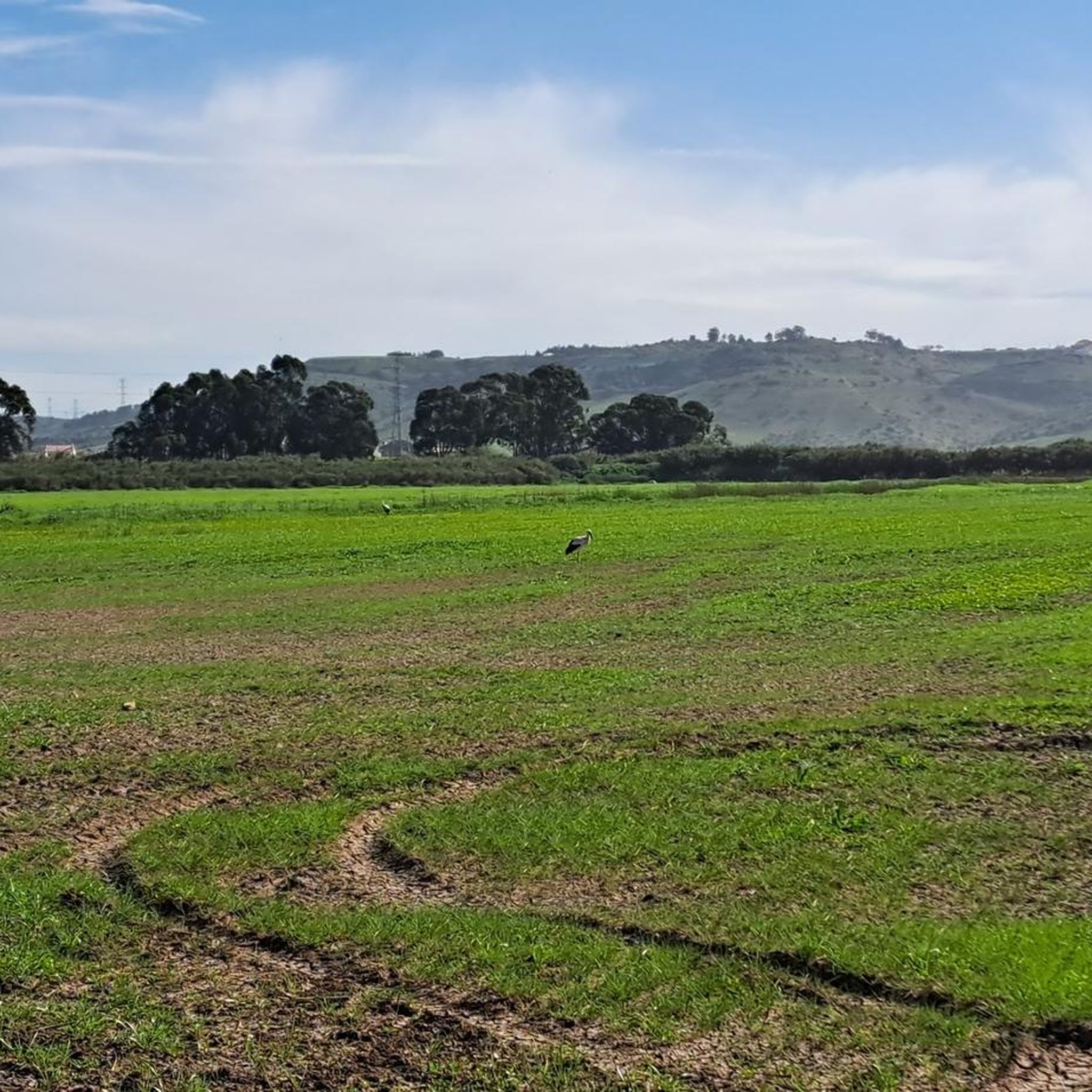
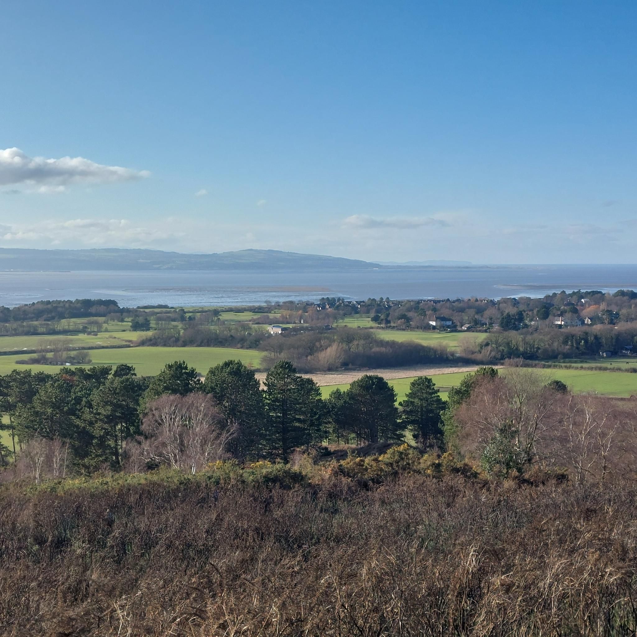
road descent with nice view over tagus river and leziria
0
0


Frequently Asked Questions
How many road cycling routes are available in Santo Antão Do Tojal?
There are over 120 road cycling routes around Santo Antão Do Tojal documented on komoot. These routes offer a variety of distances and elevations, catering to different skill levels.
What are the difficulty levels of road cycling routes in Santo Antão Do Tojal?
The routes in Santo Antão Do Tojal are categorized into various difficulty levels. You'll find 5 easy routes, 63 moderate routes, and 53 difficult routes, ensuring options for every cyclist from beginners to advanced riders.
Are there easy road cycling routes suitable for beginners or families?
Yes, Santo Antão Do Tojal offers several easy road cycling routes, perfect for beginners or families looking for a relaxed ride. One such route is the Capela das Conchas loop from Bairro Chã, which is approximately 20 km long with minimal elevation gain.
Are there challenging routes for experienced road cyclists?
Absolutely. For experienced road cyclists seeking a challenge, there are numerous difficult routes with significant climbs. A notable option is the Jardim das Delícias Café loop from Loures, a 60.5 km path featuring over 900 meters of elevation gain.
What kind of landscapes and views can I expect while road cycling in Santo Antão Do Tojal?
Road cycling in Santo Antão Do Tojal offers a blend of rural plains, historical architecture, and scenic views. You can expect to see the 18th-century Baroque complex, including the Archbishops' Palace and a 2-kilometer aqueduct. Some routes also provide views towards the Tagus Estuary.
Are there any historical landmarks or attractions to see along the routes?
Yes, the region is rich in history. You can cycle past the monumental Baroque complex in Santo Antão do Tojal, which includes the Archbishops' Palace, the Main Church, the Monumental Fountain, and an impressive Aqueduct. For more details on this historical site, you can visit the Portuguese Directorate-General for Cultural Heritage website.
Are there circular road cycling routes available?
Many of the road cycling routes in Santo Antão Do Tojal are designed as loops, allowing you to start and end at the same point. Examples include the Nicola Café loop from Loures and the St Eulália Chapel loop from Loures.
What do other cyclists say about road cycling in Santo Antão Do Tojal?
The road cycling routes in Santo Antão Do Tojal are highly rated by the komoot community, with an average score of 4.2 stars from over 70 reviews. More than 3,000 road cyclists have explored the varied terrain, often praising the mix of rural landscapes and historical points of interest.
Are there any natural features or hidden gems to discover?
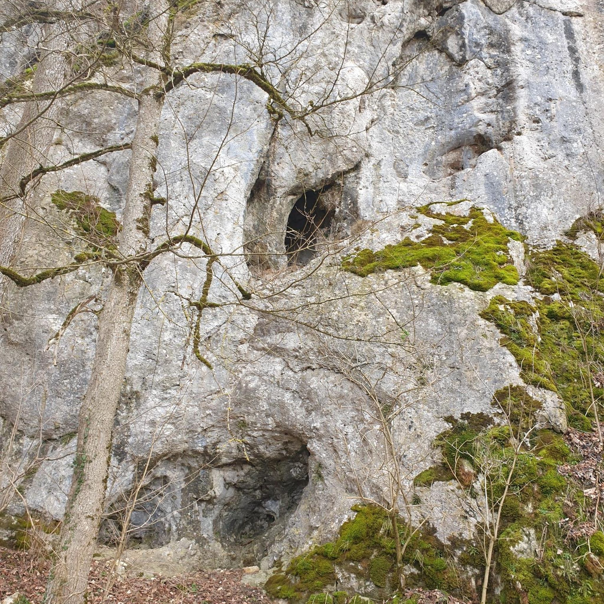
Beyond the historical sites, the wider region offers natural beauty. While not directly on every road cycling route, areas like the Shaded Trail with Waterfalls and the Caves of Vale da Calada are nearby natural monuments that add to the area's appeal for outdoor enthusiasts.
What is the terrain like for road cycling in Santo Antão Do Tojal?
Santo Antão Do Tojal is situated in a plain with an average altitude of 42 meters, offering relatively flat terrain for cycling. However, longer routes connecting to other areas can feature varied elevations and significant climbs, providing a diverse experience for cyclists.
Are there routes that connect Santo Antão Do Tojal to nearby towns?
Yes, many routes originating from or passing through Santo Antão Do Tojal connect to nearby towns such as Loures, Lourinhã, Setúbal, Torres Vedras, and even Lisbon, offering diverse options for distance and terrain.
What is a popular moderate road cycling route in the area?
A popular moderate route is the Nicola Café – Sanatório Albergaria loop from Loures. This 61.0 km trail leads through varied terrain and is typically completed in about 2 hours 54 minutes.
Most popular attractions around Santo Antão Do Tojal

Get inspired with the komoot mobile app


Explore more
Browse the best Road cycling routes in other regions.
