The best running trails around Sobral De Monte Agraço
4.3
(6)
249
runners
30
runs
Jogging around Sobral De Monte Agraço offers a variety of routes through a landscape characterized by rolling hills and historical fortifications. The region features trails that traverse both open countryside and areas with moderate elevation changes, providing diverse running experiences. Many routes incorporate sections near historical sites, offering points of interest during runs. The terrain is generally suitable for a range of abilities, from easy jogging paths to more challenging ascents.
Best jogging routes around Sobral De Monte Agraço
- The…
Last updated: November 7, 2026
2
runners
10.7km
01:18
270m
280m
Moderate run. Good fitness required. Mostly paved surfaces.
2
runners
11.7km
01:29
510m
520m
Hard run. Very good fitness required. Mostly paved surfaces.

15
runners
7.84km
00:50
100m
100m
Moderate run. Good fitness required. Mostly paved surfaces.
10
runners
21.5km
02:40
560m
560m
Hard run. Very good fitness required. Mostly paved surfaces.
6
runners
9.46km
01:03
150m
150m
Moderate run. Good fitness required. Mostly paved surfaces.
Get access to more routes and recommendations from other explorers.
Already have an account?
Our route recommendations are based on thousands of hikes, rides, and runs completed by other people on komoot.
Start today with a free account
Your next adventure awaits.
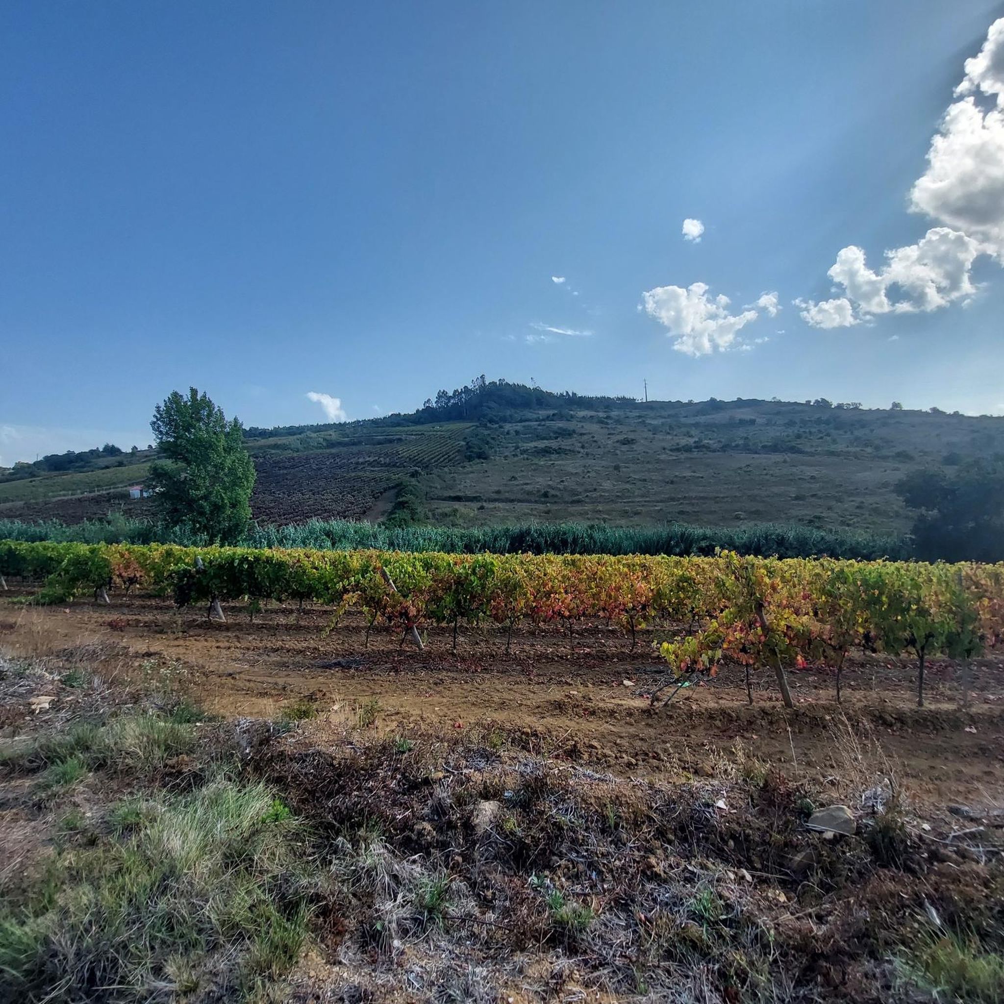
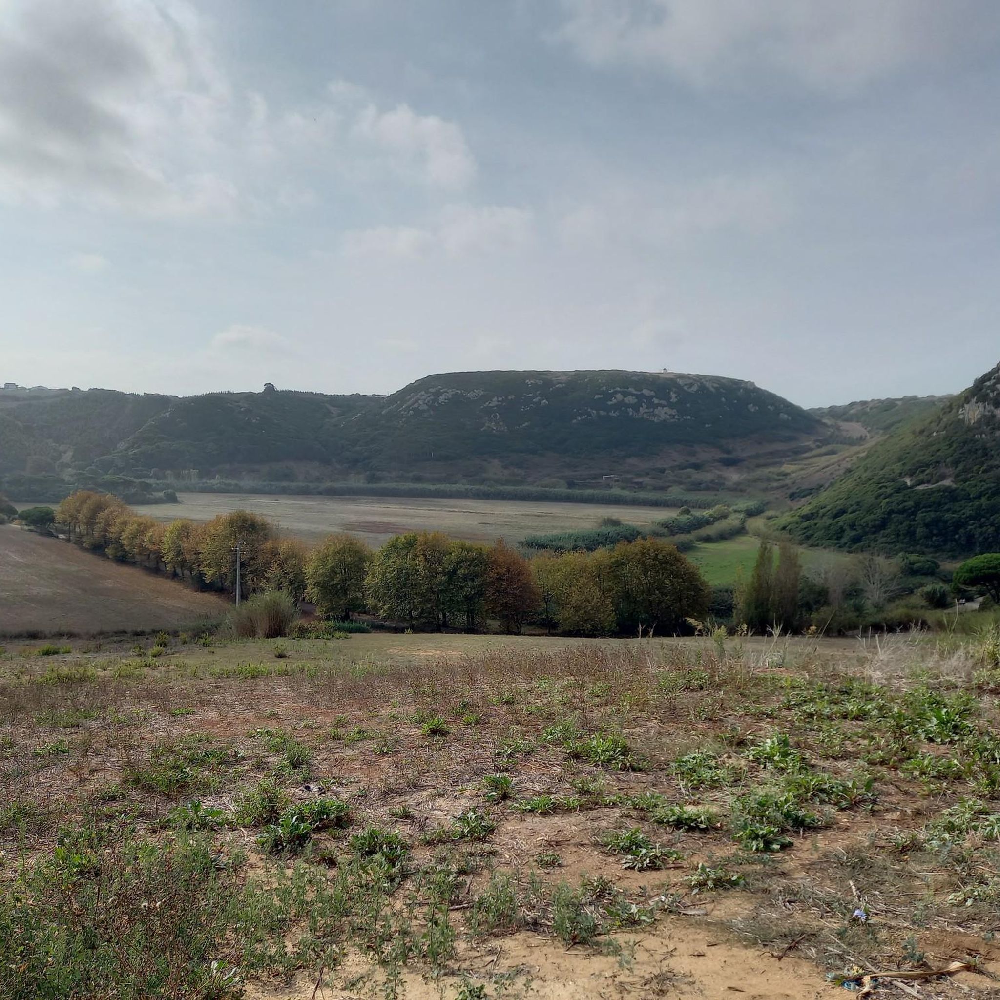
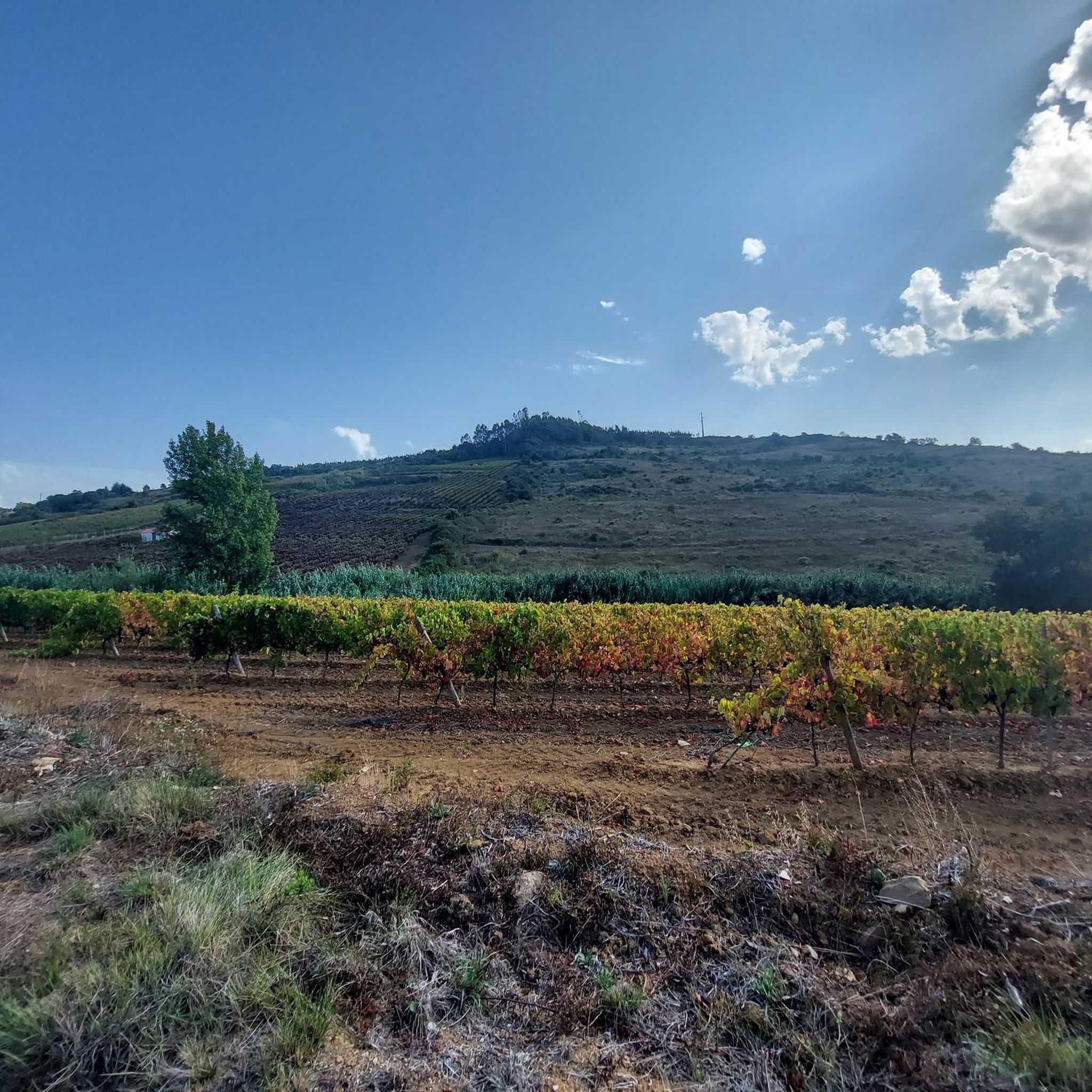
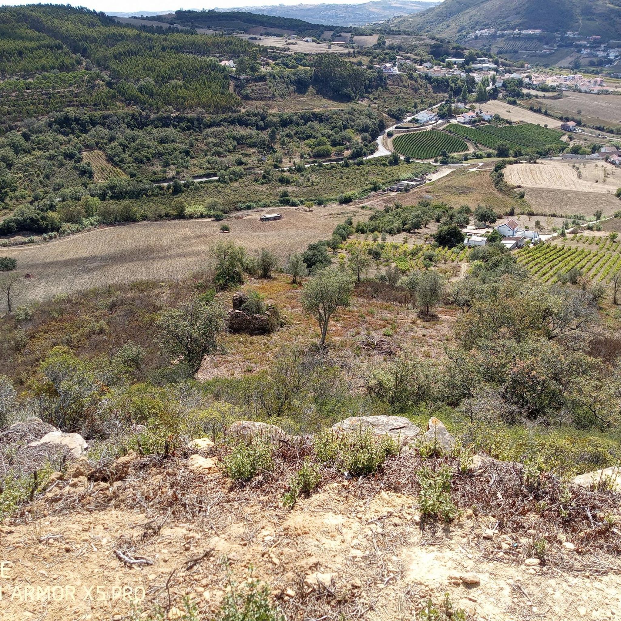
Tips from the Community

Steep and rocky to get there, but the table makes for an amazing picnic with a view.
1
0

Section of the path on a gravel road that runs alongside the wind farm. The feeling of walking next to a large rotating wind blade is interesting to say the least. Panoramic views of Serra da Archeira.
0
0
Located at the top of the mountain, the Hermitage of Nossa Senhora do Socorro, originally a mosque, was converted into a Catholic temple by D. Afonso Henriques and rebuilt during the reign of D. Manuel I. It offers panoramic views and displays Manueline stones inside.
1
0
Very beautiful chapel with simple architecture in the center of the village of Furadouro. Largo da Capela - and its small car park - is an ideal point for exploring the Archeira mountain range.
0
0
Forte da Archeira, part of the Lines of Towers defensive north of Lisbon during the Peninsular War, is a military fortification located at an altitude of 345 m. It was part of the 1st Defensive Line with the forts of Catefica and Feiteira. Despite not having gunboats, it has traces of a magazine. It forms part of the Lines of Torres, a system of 152 fortifications stretching over 80 km, built between 1809 and 1812 to prevent the advance of Napoleonic troops.
2
0
Sobral de Monte Agraço, in the district of Lisbon, is a historic village with 2,900 inhabitants, integrated into the municipality of 10,541 inhabitants, divided into three parishes. It stood out in the Peninsular War, integrating the Lines of Torres, and was elevated to the county seat in 1821. It has the Church of São Quintino, a National Monument in the Manueline style.
1
0

Frequently Asked Questions
How many running routes are available in Sobral De Monte Agraço?
There are over 30 dedicated running routes around Sobral De Monte Agraço, offering a wide range of options for different fitness levels and preferences.
Are there easy running routes suitable for beginners?
Yes, Sobral De Monte Agraço offers several easy running paths. For instance, the Running loop from Forte da Archeira is a moderate 4.9-mile (7.8 km) trail that provides a good experience without overly challenging terrain.
What is the typical length of running trails in Sobral De Monte Agraço?
Running trails in the region vary significantly in length. You'll find routes ranging from around 4.9 miles (7.8 km) like the Running loop from Forte da Archeira to longer, more challenging options such as the Forte da Archeira – Forte da Archeira loop from Turcifal, which spans over 13 miles (21 km).
Do any running routes offer scenic viewpoints?
Absolutely. The region is known for its rolling hills and historical fortifications, which often provide panoramic views. The Route of Serra do Socorro — circular route, for example, features significant elevation changes that reward runners with expansive vistas from higher ground.
Are there many circular running routes available?
Yes, many of the running routes in Sobral De Monte Agraço are circular, making them convenient for starting and ending at the same point. Popular examples include the Route of Serra da Archeira — circular route and the Route of Serra do Socorro — circular route.
What historical sites or natural landmarks can I see while running?
Many routes incorporate historical sites and natural features. You might pass by the impressive Forte da Archeira, or explore areas near the Tapada Nacional de Mafra. The region's landscape is dotted with remnants of its past, offering interesting points of interest.
Are dogs allowed on the running trails?
Generally, dogs are welcome on many of the outdoor trails in Sobral De Monte Agraço, especially in open countryside areas. However, it's always advisable to keep them on a leash and check for specific signage, particularly near protected areas or private land.
When is the best time of year to go running in Sobral De Monte Agraço?
The spring and autumn months typically offer the most pleasant running conditions, with milder temperatures and beautiful scenery. Summer can be warm, so early morning or late afternoon runs are recommended. Winter running is also possible, as the climate is generally mild, though some trails might be muddier after rain.
Can I reach running trails in Sobral De Monte Agraço using public transport?
While some routes might be accessible via local bus services to Sobral De Monte Agraço town, many of the more rural trailheads are best reached by car. It's recommended to check local public transport schedules and route access points in advance if you plan to rely on it.
What do other runners appreciate about the trails here?
The running routes in Sobral De Monte Agraço are highly rated by the komoot community, with an average score of 5.0 stars. Reviewers often praise the varied terrain, the mix of open countryside and historical sites, and the opportunities for both challenging ascents and more relaxed jogs.
Are there family-friendly running paths in the area?
Yes, there are paths suitable for families, especially those looking for a less strenuous experience. Routes with moderate difficulty and shorter distances, such as the Running loop from Sobral de Monte Agraço, which is about 5.9 miles (9.5 km), can be enjoyable for active families.
Are there running routes with convenient parking?
Many of the trailheads, particularly those starting near towns or popular historical sites like Forte da Archeira, offer designated parking areas. It's common to find parking available at the start of routes that are easily accessible by car, though it's always good to plan ahead during peak times.
Most popular routes around Sobral De Monte Agraço
Most popular attractions around Sobral De Monte Agraço

Get inspired with the komoot mobile app


Explore more
Browse the best Running Trails & Routes in other regions.
