The best cycling routes around Serra De Água
4.8
(26)
271
riders
17
rides
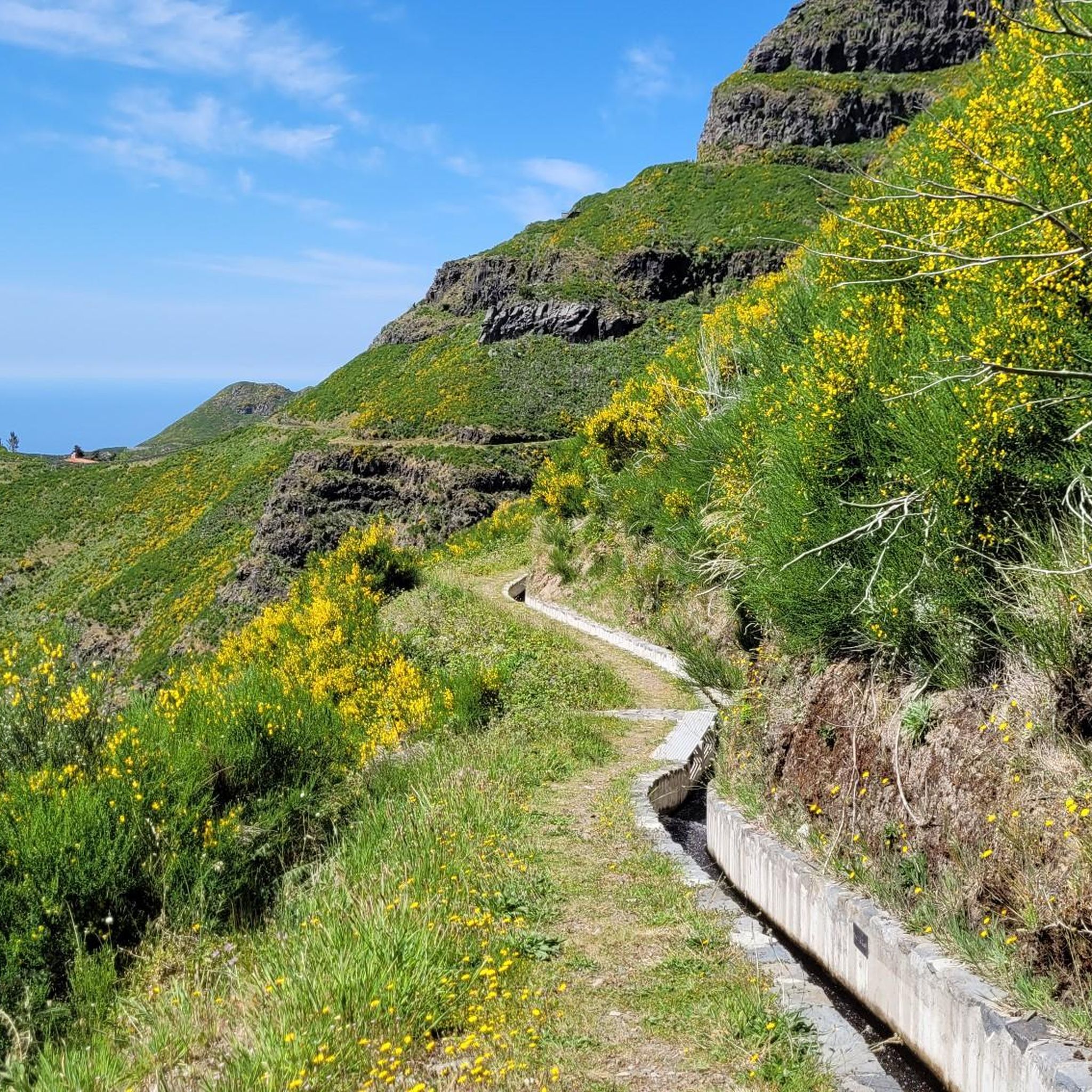
Touring cycling routes around Serra De Água, Madeira, traverse a landscape characterized by lush mountains and verdant valleys. The region features ancient laurel forests, a UNESCO-listed natural heritage site, and a network of levada paths, some suitable for cycling. Elevated roads and trails frequently offer panoramic views of the South Coast, Ribeira Brava, and the Atlantic Ocean. Rugged peaks provide challenging terrain for experienced cyclists.
Best touring cycling routes around Serra De Água
- The most popular touring cycling route is…
Last updated: August 7, 2026
4
riders
69.8km
06:54
3,040m
3,040m
Hard bike ride. Very good fitness required. Mostly paved surfaces. Suitable for all skill levels.
4
riders
Hard bike ride. Very good fitness required. Mostly paved surfaces. Suitable for all skill levels.

Sign up for free
5.0
(1)
3
riders
Hard bike ride. Very good fitness required. Mostly paved surfaces. Suitable for all skill levels.
3
riders
10.3km
01:07
380m
380m
Moderate bike ride. Good fitness required. Mostly paved surfaces. Suitable for all skill levels.
3
riders
48.4km
04:31
2,100m
2,100m
Hard bike ride. Very good fitness required. Mostly paved surfaces. Suitable for all skill levels.
Get access to more routes and recommendations from other explorers.
Sign up for free
Already have an account?
Our route recommendations are based on thousands of hikes, rides, and runs completed by other people on komoot.
Start today with a free account
Your next adventure awaits.
Login or Signup
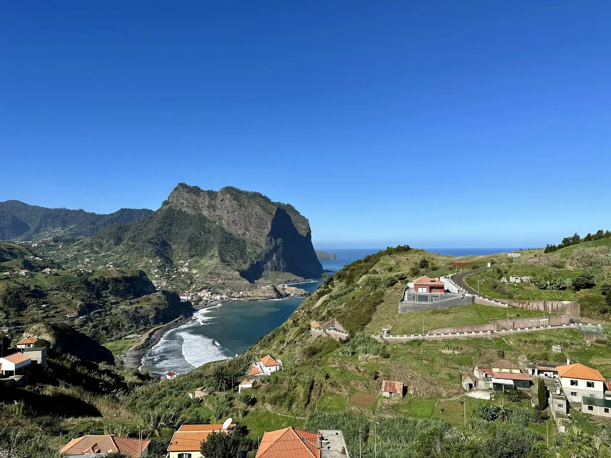
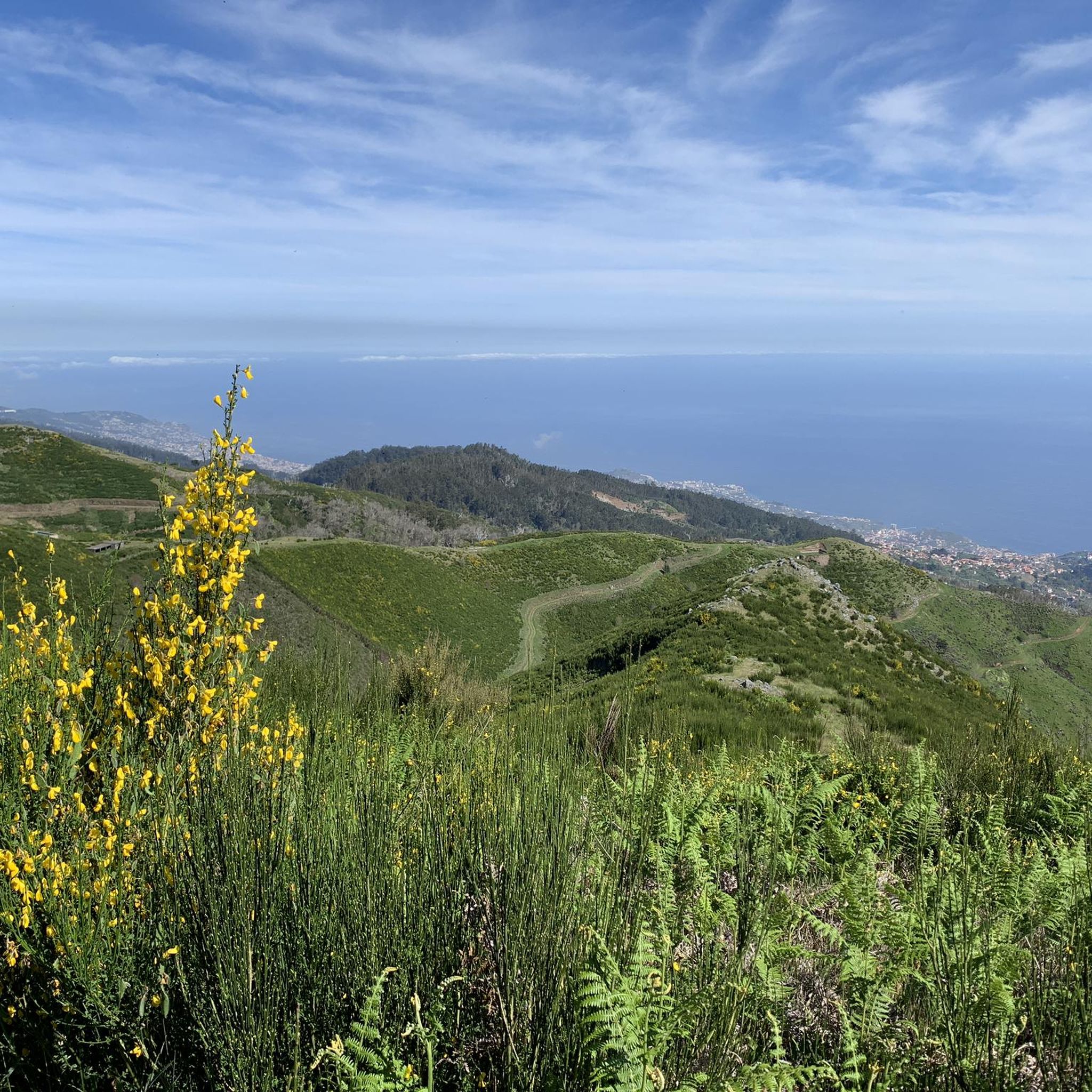
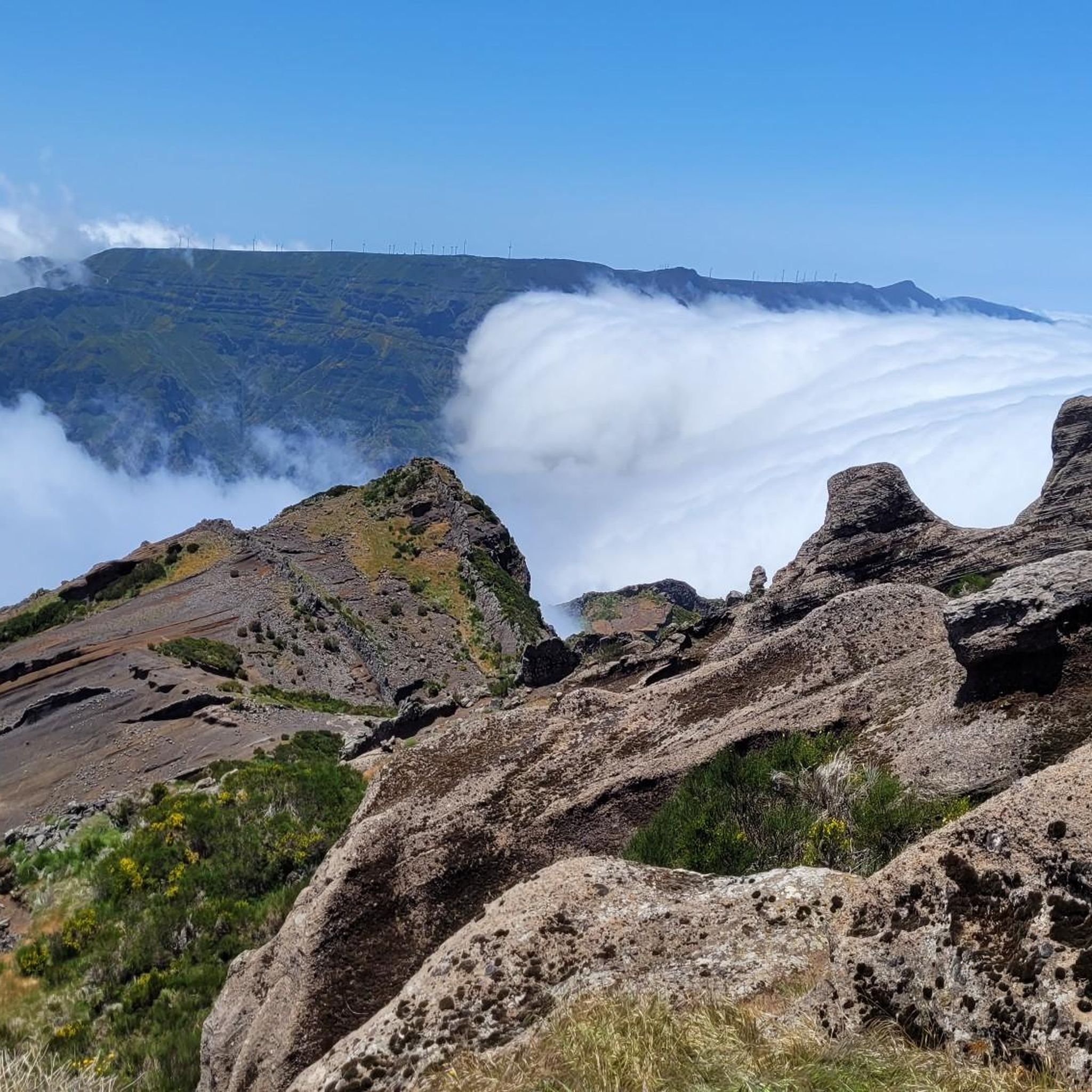
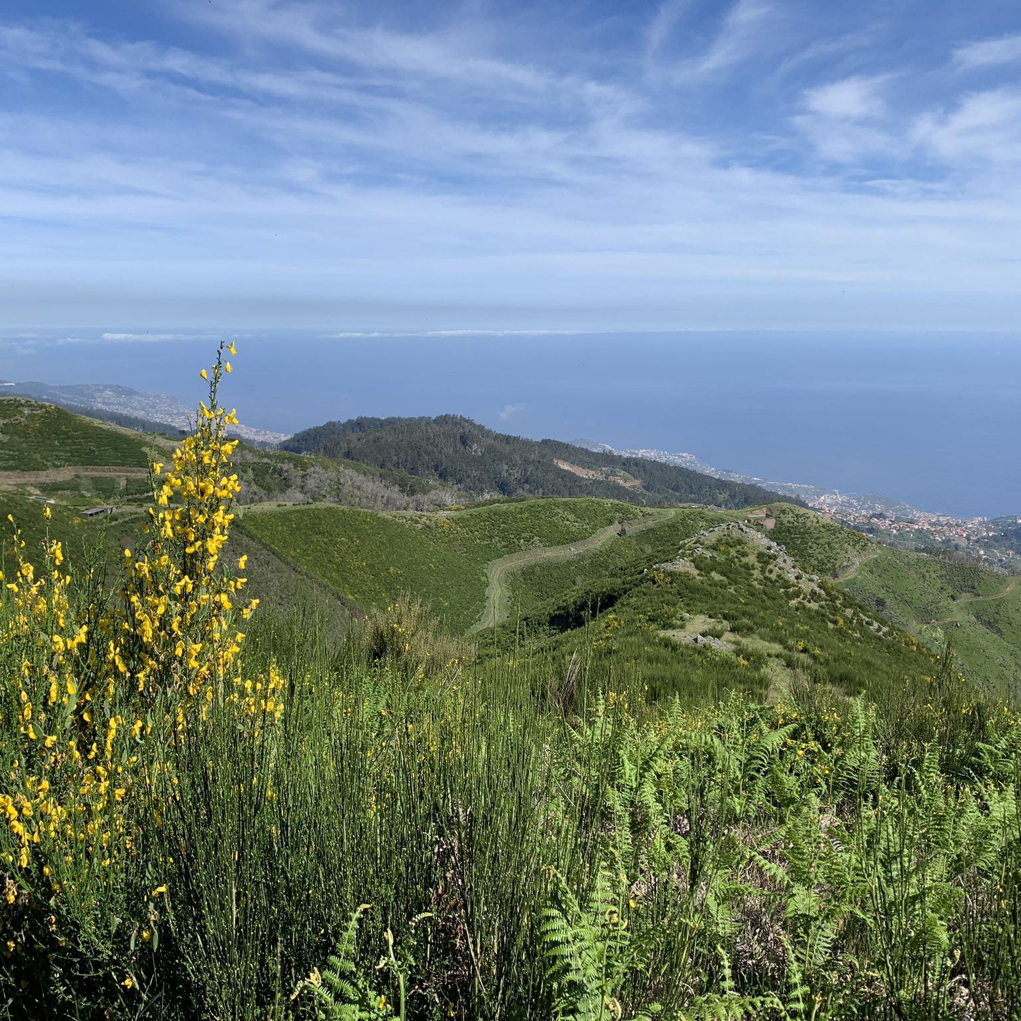

Other adventures around Serra De Água

Tips from the Community

The church is situated on a square that lies below sea level. It used to be regularly flooded and renovated by the locals. Currently, it is protected by a breakwater with a promenade.
1
0

beautiful church
1
0

The village church is located in the center of the village.
3
0

You can walk over it from above on the Nova. There was a fire here at the end of 08/24.
1
0

Has a church that is well worth seeing.
6
0
The wind turbines on the plain have become irreplaceable for the island's electricity generation.
3
0
The municipality of São Vicente is home to an extensive natural and cultural heritage, including the vibrancy of the Laurissilva forest, its emblematic volcanic caves and its picturesque historical monuments.
6
0
Nice little place with a pebble beach. You can surf nearby.
7
0
Frequently Asked Questions
How many touring cycling routes are available in Serra De Água?
There are 18 touring cycling routes available around Serra De Água. These routes traverse diverse landscapes, including lush mountains, verdant valleys, and ancient laurel forests.
What is the general difficulty level of touring cycling routes in Serra De Água?
Most touring cycling routes in Serra De Água are considered challenging. Out of the 18 available routes, 17 are rated as difficult, and one is moderate. This reflects the region's rugged peaks and varied terrain, offering significant elevation gains and exhilarating descents.
What kind of landscapes can I expect to see while touring cycling in Serra De Água?
Touring cycling in Serra De Água offers a stunning variety of landscapes. You'll encounter dramatic terrain with lush mountains and verdant valleys, cycle through sections of the ancient Laurissilva Forest (a UNESCO-listed site), and experience panoramic views of the South Coast, Ribeira Brava, and the Atlantic Ocean from elevated roads and viewpoints like Encumeada. Some routes may also follow sections of the famous levada paths.
Are there any circular touring cycling routes in Serra De Água?
Yes, several circular touring cycling routes are available. For example, the difficult São Vicente, Ponta do Sol e Ribeira Brava — circular route on Madeira Island is a popular choice, covering nearly 70 km. Another option is the From Ponta do Sol to Pico da Urze — circular route on the island of Madeira (CIMA PR 05-1), which offers mountain views over 37 km.
What do other cyclists say about touring in Serra De Água?
The touring cycling routes around Serra De Água are highly regarded by the komoot community, with an average rating of 4.8 stars from over 20 reviews. Cyclists often praise the varied terrain, the stunning panoramic views, and the immersive experience of cycling through ancient forests and charming villages.
Are there any notable landmarks or natural features to see along the touring cycling routes?
Yes, the region is rich in natural beauty. While cycling, you might encounter breathtaking viewpoints offering vistas of the Atlantic, or pass through sections of the ancient Laurissilva Forest. Nearby attractions include impressive waterfalls like the 25 Fontes (25 Springs) Waterfall and Risco waterfall, as well as the Pico Ruivo Summit, though direct cycling access to all these might vary.
Are there any family-friendly touring cycling routes in Serra De Água?
Given that 17 out of 18 routes are rated as difficult, and only one is moderate, most touring cycling routes in Serra De Água are quite challenging and may not be suitable for young children or beginner families. The moderate route, From Ponta do Sol to Cabo da Levada, is a shorter option at 10.3 km with less elevation gain, which might be more manageable for families with some cycling experience.
What is the best time of year for touring cycling in Serra De Água?
Madeira generally enjoys a mild climate year-round. However, for touring cycling, spring and autumn often offer the most pleasant conditions with moderate temperatures and less rainfall than winter. Summer can be warm, especially on climbs, while winter might bring more rain and cooler temperatures at higher elevations. Always check local weather forecasts before heading out.
Can I find cafes or restaurants near the cycling routes in Serra De Água?
Yes, as you cycle through the region, you'll pass through small, charming villages. These often provide opportunities to stop at local cafes and restaurants, allowing you to experience the rural way of life and taste Madeiran specialties like Espetada and Bolo do Caco. It's advisable to carry sufficient water and snacks, especially on longer or more remote sections.
Are there opportunities for wild swimming near the touring cycling routes?
While the landscape is dotted with impressive waterfalls, direct wild swimming spots easily accessible from touring cycling routes are not a primary feature of the region's cycling experience. The focus is more on the scenic beauty of the mountains, forests, and coastal views. However, Madeira's coastline offers various natural pools and beaches that could be visited as a separate activity.
What are some of the most challenging touring cycling routes in Serra De Água?
Many routes in Serra De Água present significant challenges due to the island's mountainous terrain. The São Vicente, Ponta do Sol e Ribeira Brava — circular route on Madeira Island, at nearly 70 km with over 3000 meters of elevation gain, is particularly demanding. Another difficult option is From São Vicente to Ribeira Brava, covering 48.4 km with over 2000 meters of ascent.
Are there any specific viewpoints along the touring cycling paths in Serra De Água?
Yes, the elevated roads and trails frequently lead to spectacular viewpoints. From places like Encumeada and Miradouro da Serra d'Água, you can enjoy breathtaking panoramic vistas of the South Coast, Ribeira Brava, and Campanário. The Ninho da Manta Viewpoint is another notable spot offering scenic views.
Most popular routes around Serra De Água
Most popular attractions around Serra De Água

Get inspired with the komoot mobile app


Explore more
Browse the best Cycling routes in other regions.
