The best walks and hikes around Padronelo
4.2
(42)
278
hikers
19
hikes
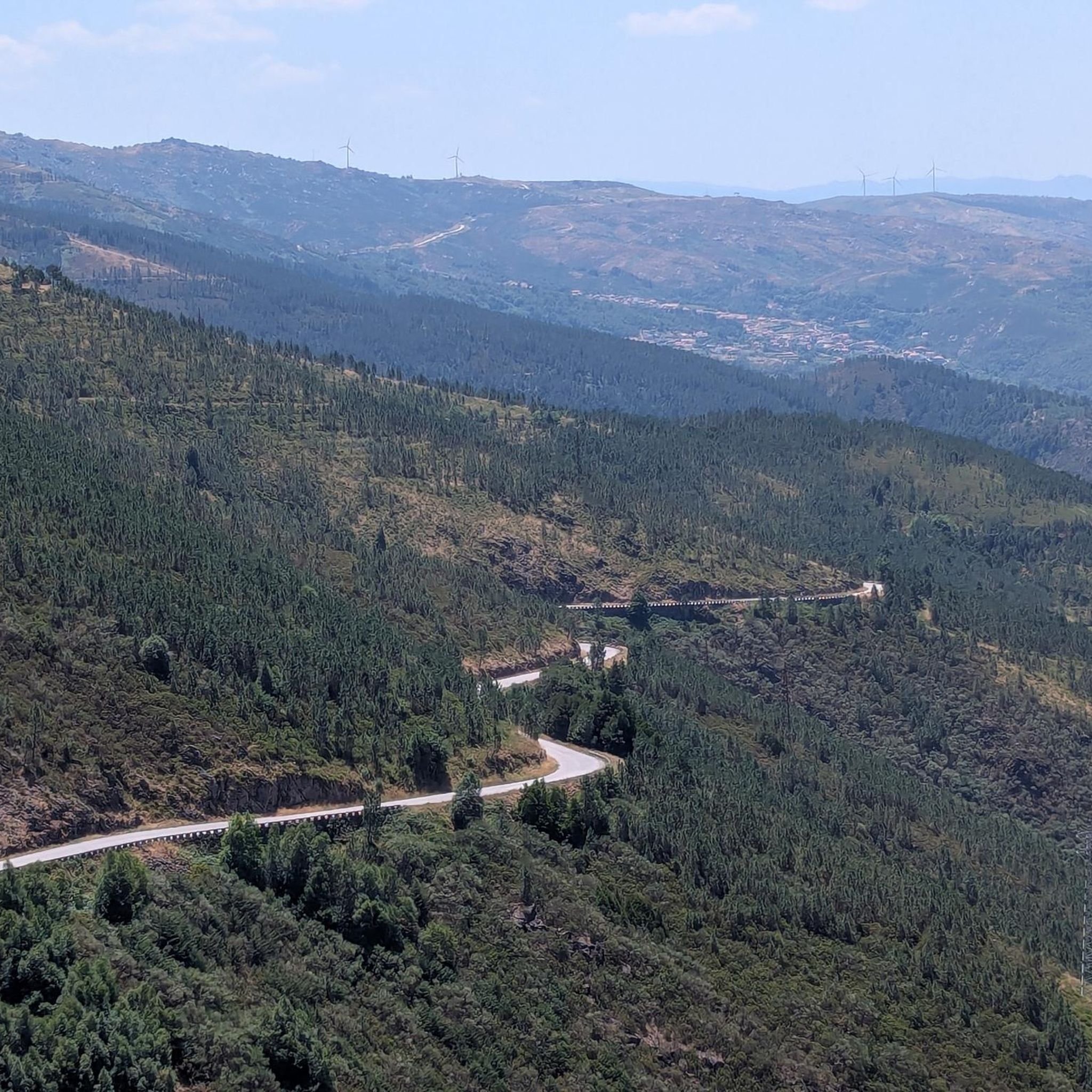
Hiking trails around Padronelo are set within the municipality of Amarante, characterized by mountainous terrain and granite features. The region benefits from the Ovelha River, which creates tranquil natural settings and features the Padronelo Bathing Area. The broader area includes the Marão mountain range, known for its natural beauty and biodiversity. These natural features provide varied landscapes for outdoor activities.
Best hiking trails around Padronelo
- The most popular hiking route is River Path – Church of Saint Peter loop from…
Last updated: July 28, 2026
4.7
(6)
44
hikers
10.2km
02:40
70m
70m
Moderate hike. Good fitness required. Easily-accessible paths. Suitable for all skill levels.
4.0
(2)
8
hikers
12.4km
03:48
420m
420m
Moderate hike. Good fitness required. Easily-accessible paths. Suitable for all skill levels.

Sign up for free
5.0
(1)
7
hikers
18.1km
05:22
530m
530m
Hard hike. Very good fitness required. Easily-accessible paths. Suitable for all skill levels.
5
hikers
Easy hike. Great for any fitness level. Easily-accessible paths. Suitable for all skill levels.
4.0
(1)
13
hikers
Easy hike. Great for any fitness level. Easily-accessible paths. Suitable for all skill levels.
Get access to more routes and recommendations from other explorers.
Sign up for free
Already have an account?
Our route recommendations are based on thousands of hikes, rides, and runs completed by other people on komoot.
Start today with a free account
Your next adventure awaits.
Login or Signup


Tips from the Community

At this point, the river is passable via the dam. The stones were laid to form a path over the water.
0
0

Just take a look and then forward it
2
1
Small narrow streets to discover in the not so small village
2
2

This church is actually a monastery, a Dominican monastery. It is dedicated to Blessed Gonçalo, who is also the patron saint of this town. The monastery was built in the 16th century, and parts of it now serve as the town hall and a museum. It's very sustainable.
5
2
House fronts painted on a house front
6
1
The Camino de Santiago passes here on the way to the cathedral of Santiago de Compostela in Spain. In Amarante it follows the Tamega River as a signpost. At certain intervals there are shells embedded in the ground.
11
1
Very tasty food, classy atmosphere, but you have to bring a lot of time with you. Waiting times of 40-60 minutes are not uncommon here. If you reserve in time, you can get a seat right by the river.
12
1
This sign of the city stands in the middle of the Jardim da Alameda Teixeira Pascoaes.
11
1
Frequently Asked Questions
How many hiking trails are available in Padronelo?
There are over 19 hiking trails around Padronelo, offering a variety of experiences for different skill levels, from easy riverside paths to more challenging ascents.
What kind of terrain can I expect on hikes around Padronelo?
The terrain around Padronelo is predominantly mountainous, characterized by granite formations. The area also features the tranquil settings of the Ovelha River and the broader Amarante area includes the Ribeira da Póvoa in the Marão mountain range, known for its natural beauty.
Are there any easy hiking trails suitable for beginners or families?
Yes, Padronelo offers several easy trails. For a shorter, accessible walk, consider the Statue of Teixeira de Pascoaes – St. Gonçalo Bridge loop from Amarante, which is just 1.9 miles (3.1 km) and takes about 50 minutes. Another easy option is the Meninas do Crasto Dolmen – Dolmen de Chã da Parada loop from Bustelo, Carneiro e Carvalho de Rei, a 6.1 km route.
Can I find circular hiking routes in Padronelo?
Yes, many of the trails in Padronelo are circular. Examples include the popular River Path – Church of Saint Peter loop from Amarante, which follows the Ovelha River, and the View from the Geodesic Marker loop from Aboadela, Sanche e Várzea, offering expansive views.
What historical landmarks or natural features can I see while hiking?
Hikers can explore a rich blend of historical and natural attractions. You might encounter the distinctive St. Gonçalo Bridge in Amarante, or the Church and Bridge of São Gonçalo. Natural highlights include the serene Padronelo Bathing Area on the Ovelha River, and the mountainous landscapes with prominent granite features.
Are there any trails that offer expansive views?
Yes, for panoramic vistas, the View from the Geodesic Marker loop from Aboadela, Sanche e Várzea is an excellent choice. This moderate 7.8-mile (12.5 km) path features significant elevation gain, leading to expansive views over the mountainous landscape.
Is Padronelo a good destination for dog-friendly hikes?
While specific dog-friendly policies for individual trails are not detailed, the natural and open character of Padronelo's mountainous terrain and riverside paths generally makes it suitable for hiking with dogs. Always ensure your dog is under control and check local regulations for any specific restrictions.
What is the best time of year to go hiking in Padronelo?
The region's natural beauty can be enjoyed throughout much of the year. Spring and autumn typically offer pleasant temperatures and vibrant scenery, making them ideal for hiking. Summer can be warm, especially in open areas, while winter might bring cooler, potentially wetter conditions, though still suitable for hiking on many trails.
Are there options for more challenging hikes in the area?
Yes, for those seeking a more strenuous experience, Padronelo offers challenging routes. The View from the Geodesic Marker loop from Gondar is classified as difficult, covering 18.1 km with significant elevation changes, providing a robust workout and rewarding views.
How do other hikers rate the trails in Padronelo?
The trails in Padronelo are highly rated by the komoot community, with an average score of 4.2 stars from over 35 reviews. Hikers often praise the varied terrain, the tranquil natural settings along the Ovelha River, and the rewarding views from higher elevations.
Are there any riverside walks in Padronelo?
Absolutely. The Ovelha River is a prominent natural feature, and you can enjoy tranquil riverside walks. The River Path – Church of Saint Peter loop from Amarante is a prime example, following the river and offering serene natural settings.
Are there any trails that follow old Roman roads or historical paths?
Yes, the broader Amarante area, where Padronelo is situated, features historical paths. The PR2 AMT - São Bento Route, a 12 km circular path, is known to include an old section of Roman road and a Roman footbridge over the Marancinho stream, offering a glimpse into the region's ancient past.
Where can I find parking for hiking trails in Padronelo?
While specific parking locations for every trailhead are not detailed, hiking routes often start from villages or accessible points within the municipality of Amarante. It is generally advisable to look for designated parking areas in these starting points or near known attractions like the St. Gonçalo Bridge in Amarante.
Most popular attractions around Padronelo

Get inspired with the komoot mobile app


Explore more
Browse the best Hikes in other regions.
