The best road cycling routes around Senhora Da Hora
4.5
(186)
7,958
riders
162
rides
Road cycling around Senhora Da Hora, located in the Greater Porto area, offers access to diverse regional landscapes. The area provides connectivity to coastal routes, riverine paths, and varied terrain. Cyclists can find routes ranging from flatter sections along the Atlantic coast and Douro River to paths with moderate to significant elevation gains inland. This strategic location allows for exploration of both urban-adjacent and natural environments, including the extensive Parque da Cidade.
Best road cycling routes around Senhora Da Hora
…Last updated: May 24, 2026
4.5
(10)
391
riders
108km
05:06
1,300m
1,300m
Hard road ride. Very good fitness required. Mostly well-paved surfaces and easy to ride.
4.6
(7)
255
riders
42.7km
01:59
380m
380m
Moderate road ride. Good fitness required. Mostly well-paved surfaces and easy to ride.

Sign up for free
5.0
(9)
239
riders
98.0km
04:18
610m
610m
Moderate road ride. Good fitness required. Some segments of this route may be unpaved and difficult to ride.
4.2
(5)
186
riders
141km
05:56
930m
930m
Hard road ride. Very good fitness required. Mostly well-paved surfaces and easy to ride.
5.0
(1)
99
riders
39.6km
01:45
210m
220m
Moderate road ride. Great for any fitness level. Some segments of this route may be unpaved and difficult to ride.
Get access to more routes and recommendations from other explorers.
Sign up for free
Already have an account?
Our route recommendations are based on thousands of hikes, rides, and runs completed by other people on komoot.
Start today with a free account
Your next adventure awaits.
Login or Signup
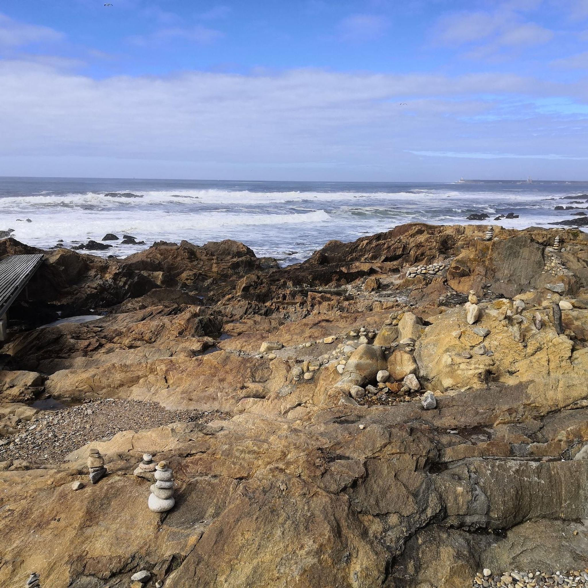
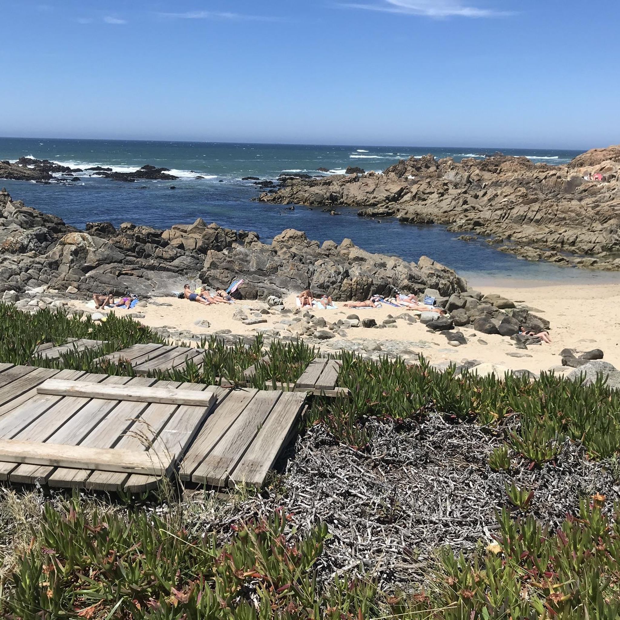
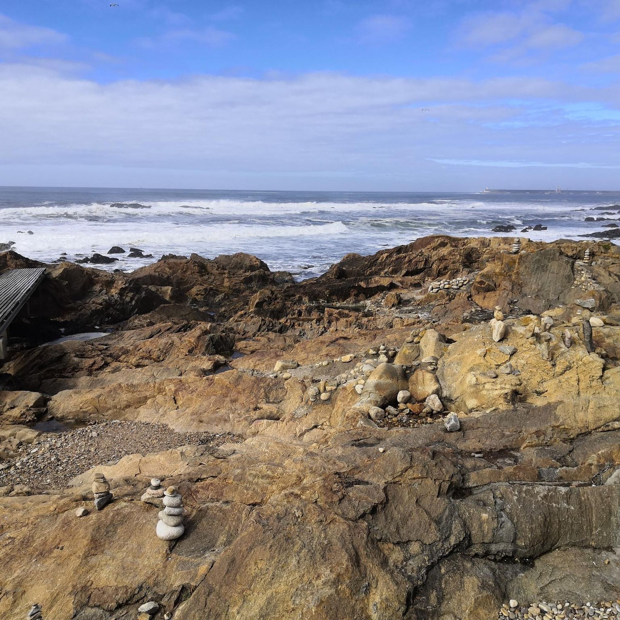
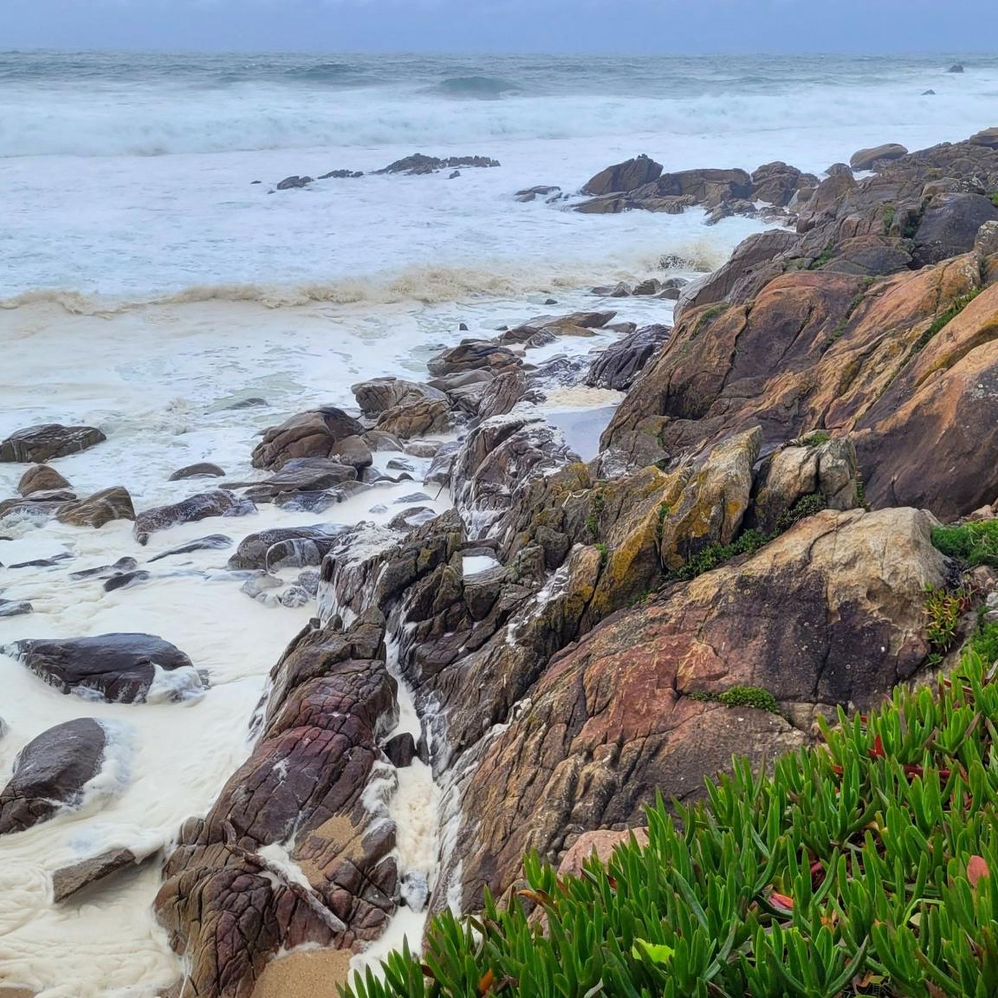
Tips from the Community

The Metal Bridge of Fão (Esposende) Location: It crosses the Cávado River, on National Road 13 (EN13), in the parish of Fão, in Esposende. Alternative Name: It is frequently referred to as the D. Luís Filipe Bridge. History: It is a significant example of iron architecture in Portugal, inaugurated on August 7, 1892. Characteristics: The bridge, which is a Property of Public Interest, has an extensive metal structure and has recently been rehabilitated.
2
0
In Esposende, the main historical bridge that crosses the Cávado River is the Ponte Metálica de Fão, also known locally as Ponte D. Luís Filipe.
2
0
The church is an active place of worship, with regular opening hours for visitors and worshippers. Location: Rua da Igreja, 4480-754 Vila do Conde, Portugal. Opening Hours: Daily (Monday to Sunday): 9:30 AM to 12:00 PM and 3:00 PM to 7:30 PM. Masses: For accurate information on Mass times, it is recommended to visit the parish's official website or call directly, as times may vary. Accessibility: The church has wheelchair accessible entrance and parking.
1
0
Architecture and History Construction of the church began in the last years of the 15th century, by order of King Manuel I. The architectural design combines elements of Gothic and Renaissance architecture, in addition to the predominant Manueline style, especially evident in its magnificently sculpted main portal. The interior has beautiful stained glass windows and altars with gilded carvings, which are worth a detailed visit. The church is located on top of a hill where the original Monastery of Santa Clara and the old parish church were situated.
1
0
The Church of St. John the Baptist of Vila do Conde, also known as the Parish Church of Vila do Conde, is one of the city's most important monuments and one of the most significant examples of the Manueline style (late Portuguese Gothic) in the country. It was classified as a National Monument in 1910.
1
0

A small, hidden square in the western harbor area with nice restaurants, pretty colorful houses, and hidden alleys. Top.
1
1


From the bridge, you have a good view of the Lima River and the city of Viana. However, the pedestrian lane (only the one downstream is open) is very narrow and not really designed for two-way traffic. In Eiffel's time, the entire upper bridge was probably intended for pedestrians and oxcarts. The railway runs one level below: https://pt.wikipedia.org/wiki/Ponte_Eiffel
2
0
Frequently Asked Questions
How many road cycling routes are available around Senhora Da Hora?
There are over 160 road cycling routes available around Senhora Da Hora, catering to various skill levels. This includes 27 easy routes, 93 moderate routes, and 49 difficult routes, offering a wide range of options for exploration.
What kind of terrain can I expect on road cycling routes near Senhora Da Hora?
The region offers a diverse mix of terrains. You can find flatter coastal and river paths, particularly along the Atlantic coast and the Douro River, which are suitable for all fitness levels. For more experienced riders, there are also routes with moderate to significant elevation gains further inland, providing a good challenge.
Are there easy road cycling routes suitable for beginners or families in Senhora Da Hora?
Yes, there are several easy road cycling routes. For instance, the Arrábida Pier – Dom Luís I Bridge loop from Pedro Hispano is an easy 25.4 km (15.8 miles) path that often features urban and riverfront sections, making it accessible for a more relaxed ride.
Where can I find more challenging or advanced road cycling routes?
For those seeking a challenge, nearly 50 difficult routes are available. A notable difficult route is the Arrábida Pier – Dom Luís I Bridge loop from Parque de Real, which covers 100.4 km (62.4 miles) and includes over 1,100 meters of elevation gain, connecting key points across varied terrain.
Are there any circular road cycling routes available?
Many of the road cycling routes around Senhora Da Hora are designed as loops, allowing you to start and finish at the same point. Examples include the Arrábida Pier – Dom Luís I Bridge loop from Parque de Real and the Fão Bridge – Ponte da Pedra loop from Arroteia.
What are some notable landmarks or viewpoints I can see while road cycling?
While cycling, you can encounter various points of interest. Along the coast, you might pass the picturesque Fort of Saint Francis Xavier (Cheese Castle). Near the Douro River, the iconic bridges, such as the Dom Luís I Bridge, offer impressive architectural sights. You can also explore green spaces like the Gardens of the Crystal Palace or the Infante Dom Henrique Garden.
How accessible are the road cycling routes by public transport or car parking?
Senhora Da Hora is well-connected, making routes easily accessible. The area benefits from good road networks and connections via Porto Metro and bus services to surrounding cities like Matosinhos and Porto Airport. This makes it a practical starting point for cyclists, whether arriving by car or public transport.
What is the best time of year for road cycling around Senhora Da Hora?
The Greater Porto area generally offers pleasant conditions for cycling for much of the year. Spring and autumn typically provide mild temperatures and less rainfall, making them ideal. Summer can be warm, especially inland, while winter is generally mild but may see more rain, particularly along the coast.
What do other cyclists say about road cycling in Senhora Da Hora?
The road cycling routes in Senhora Da Hora are highly rated by the komoot community, with an average score of 4.5 stars from nearly 200 reviews. Over 8,000 road cyclists have used komoot to explore the varied terrain, often praising the diverse landscapes, from coastal paths to riverine routes.
Are there long-distance road cycling options from Senhora Da Hora?
Yes, the region offers several long-distance routes. For example, the Arrábida Pier – Dom Luís I Bridge loop from Parque de Real is over 100 km (62 miles) long. Additionally, the area connects to the Atlantic Coast Route, which offers extensive scenic rides along sandy beaches and past giant boulders near the Douro estuary.
Can I find cafes or places to stop along the road cycling routes?
Given Senhora Da Hora's location within the Greater Porto area, many routes pass through or near urban and coastal areas where cafes, restaurants, and other amenities are readily available. Coastal routes, in particular, often feature numerous establishments along beaches like Lavadores, Canidelo, and Espinho.
Are there any coastal road cycling routes accessible from Senhora Da Hora?
Absolutely. Cyclists can easily access traffic-free coastal cycle paths that stretch for miles, especially south of the Douro River in Vila Nova de Gaia, extending towards Espinho. These routes offer scenic rides past beaches like Lavadores, Canidelo, Valadares, and Francelos.
What about routes along the Douro River?
The Douro River provides picturesque scenery for cycling. Routes often follow the river, with some sections offering dedicated bike lanes. You can cycle from Porto towards the Foz do Douro seafront area, where the river meets the Atlantic, enjoying stunning views and connecting to coastal paths.
Most popular routes around Senhora Da Hora
Most popular attractions around Senhora Da Hora

Get inspired with the komoot mobile app


Explore more
Browse the best Road cycling routes in other regions.
