The best cycling routes around Moçarria
4.6
(18)
105
riders
24
rides
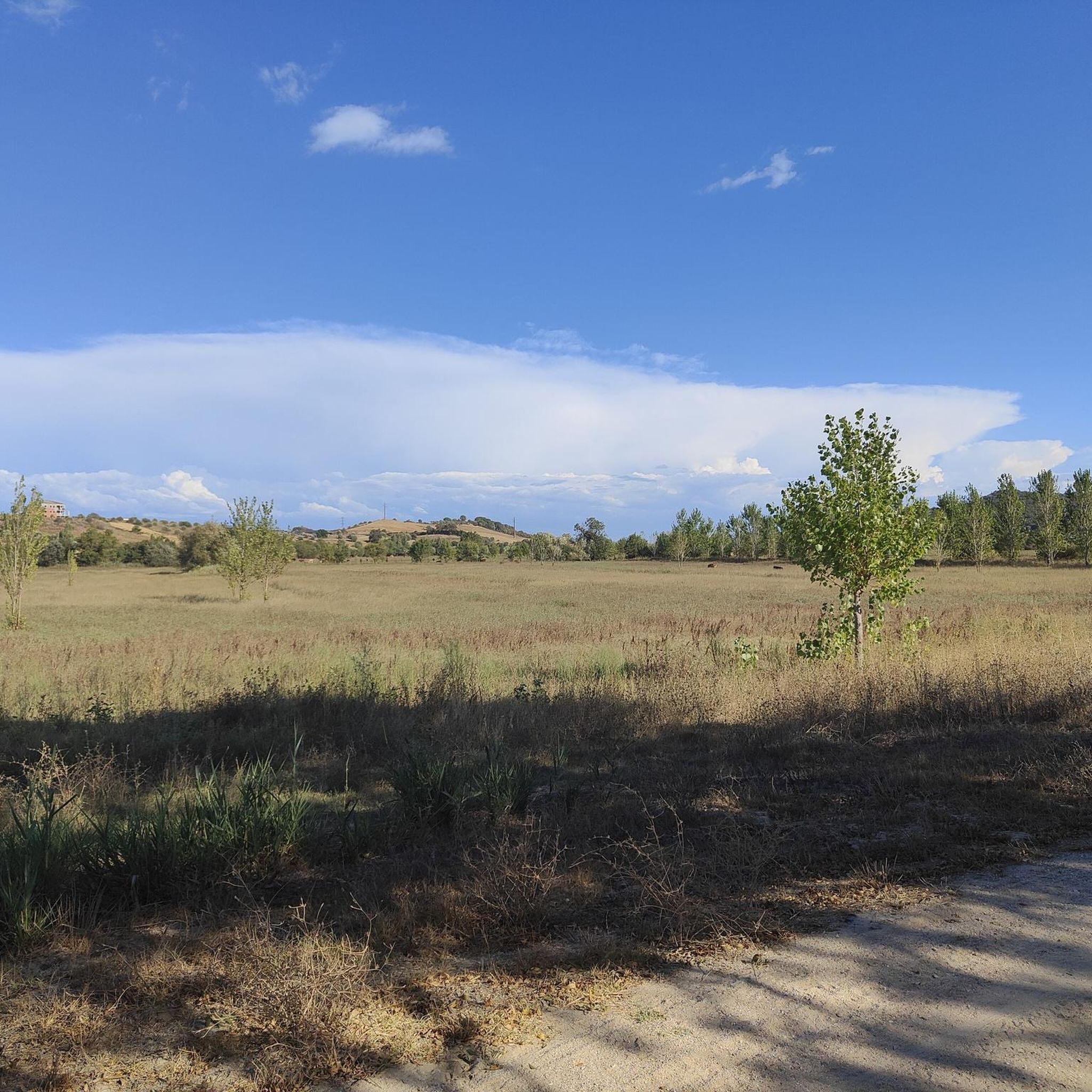
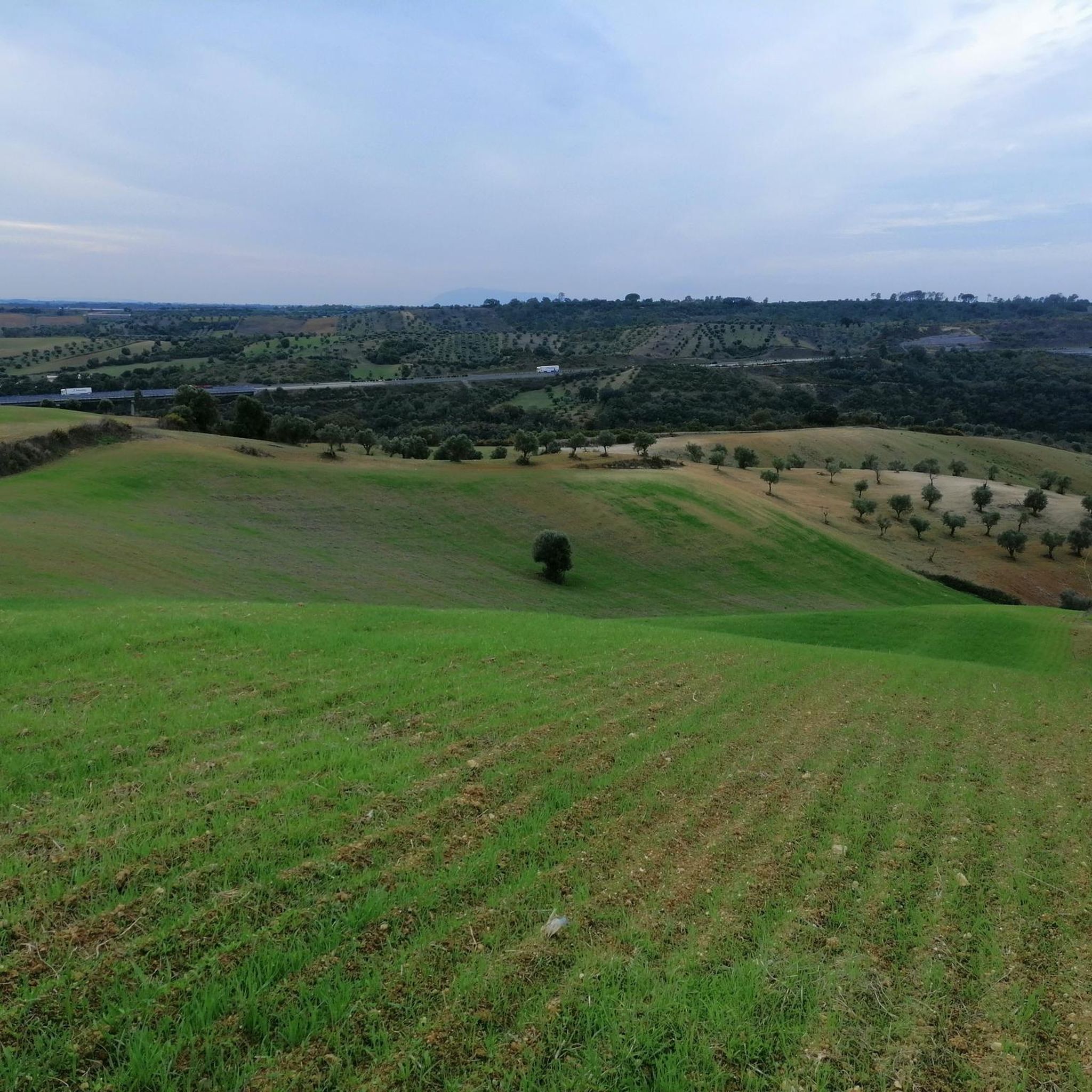
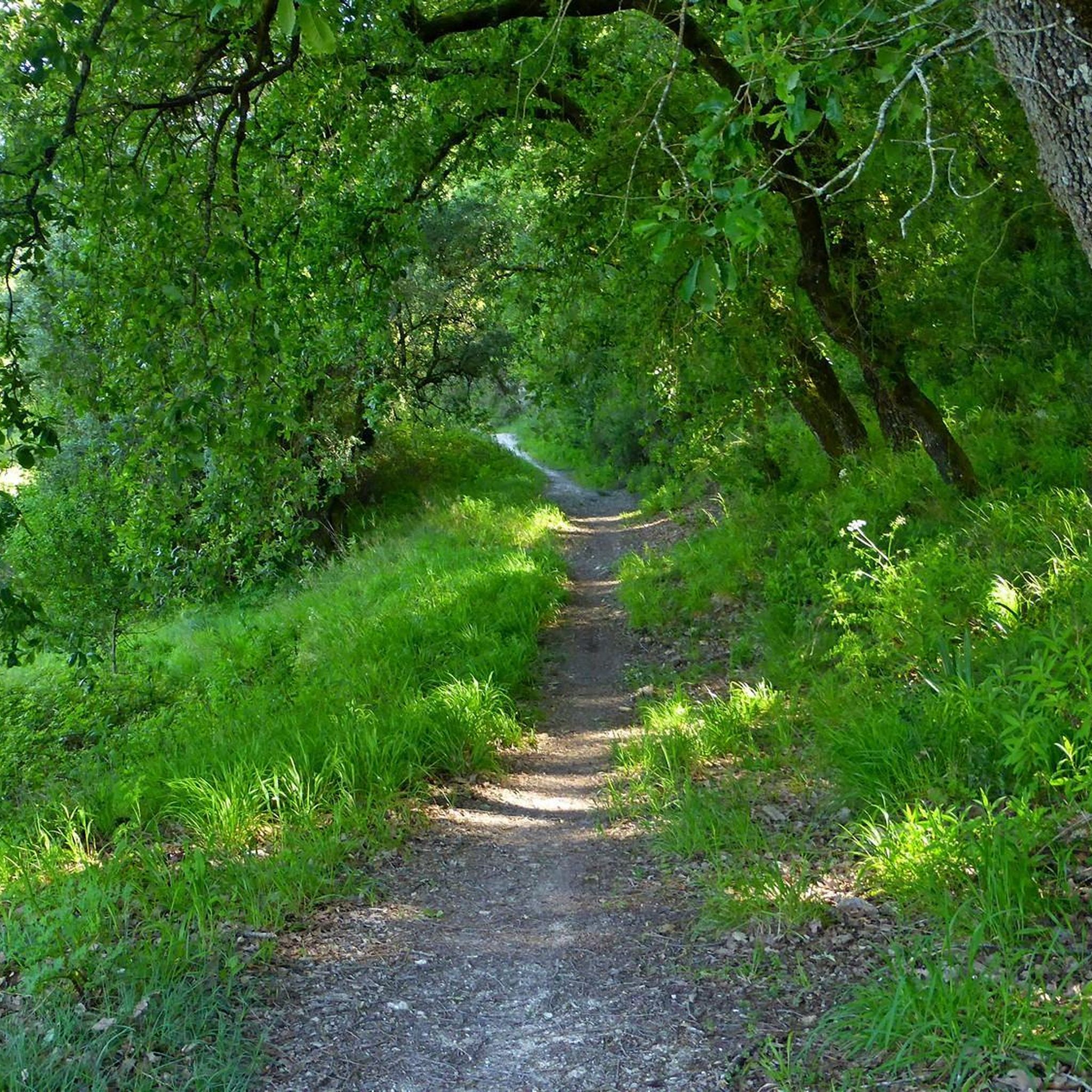
Touring cycling around Moçarria offers a diverse landscape characterized by riverine plains and gently rolling hills, providing varied terrain for cyclists. The region features a mix of agricultural fields and scattered woodlands, with routes often following waterways. Elevation changes are present, with some trails including climbs up to 600 meters, indicating a mix of flat sections and more challenging ascents. This area provides a suitable environment for exploring by touring bicycle.
Best touring cycling routes around Moçarria
- The most popular…
Last updated: November 7, 2026
5.0
(1)
12
riders
49.3km
03:48
280m
280m
Moderate bike ride. Good fitness required. Mostly paved surfaces.
5.0
(10)
15
riders
50.6km
03:45
270m
270m
Moderate bike ride. Good fitness required. Mostly paved surfaces.

13
riders
44.0km
03:48
620m
620m
Hard bike ride. Very good fitness required. Mostly paved surfaces.
9
riders
39.9km
03:01
480m
480m
Hard bike ride. Very good fitness required. Mostly paved surfaces.
3.0
(1)
4
riders
44.1km
02:38
220m
220m
Moderate bike ride. Good fitness required. Mostly paved surfaces.
Get access to more routes and recommendations from other explorers.
Already have an account?
Our route recommendations are based on thousands of hikes, rides, and runs completed by other people on komoot.
Start today with a free account
Your next adventure awaits.
Tips from the Community

Ride on the path dedicated for bikes. The road isn’t suitable for bikes, rough and slippery.
1
0


Watch out it can be slippery
1
0

The village of Valada is a Portuguese town, located in the municipality of Cartaxo, district of Santarém, Ribatejo region. Here is some information: General Data 1. Population (2021): 1,434 inhabitants. 2. Area: 11.2 km². 3. Population density: 128 inhabitants/km². 4. Altitude: 20-30 meters above sea level.
2
0
The village of Valada is a small Portuguese town, located in the municipality of Cartaxo, district of Santarém, in the Ribatejo region. Here is some information: Characteristics 1. Population: Around 1,500 inhabitants. 2. Area: 11.2 km². 3. Population density: 134 inhabitants/km². 4. Altitude: 20-30 meters above sea level. History 1. Origins: Possibly founded by the Romans. 2. 12th century: Part of the municipality of Cartaxo. 3. 15th century: Agricultural and livestock development. Points of interest 1. Igreja Matriz de Nossa Senhora da Conceição (18th century). 2. Capela de São Sebastião. 3. Fonte do Castelo (historical monument). 4. Praia Fluvial de Valada (river Tagus). 5. Walking and cycling trails. Activities 1. Agriculture (cereals, fruit and vegetables). 2. Livestock farming (cattle, pigs and poultry). 3. River fishing. 4. Rural tourism. 5. Cultural and religious events. Accessibility 1. Located 10 km from Cartaxo. 2. Access via the EN365 national road. 3. Public transport: buses. 4. Nearest train station: Cartaxo.
4
0

From here I went to Lisbon Oriente. Bicycles are taken free of charge. My slow train got quite full. The last picture shows the modern Lisbon Oriente train station.
1
0

This trail is also part of the Portuguese Way of Santiago, so it is common to find pilgrims walking it.
2
0

The most impressive building in the city and also the backdrop to the city's central square. This is where the community meets and there are cafes and a tavern.
25
2
Frequently Asked Questions
What is the general difficulty level of touring cycling routes in Moçarria?
Moçarria offers a diverse range of touring cycling routes. You'll find options from moderate, which make up the majority with 15 routes, to more difficult trails, with 10 available. There is also one easy route for those seeking a gentler ride.
Are there challenging touring bike trails for experienced cyclists in Moçarria?
Yes, for experienced touring cyclists seeking a challenge, Moçarria has 10 difficult routes. An example is the Mesquita loop from Azoia de Baixo, which features significant climbs with an elevation gain of over 620 meters.
Are there any beginner-friendly touring bike routes in Moçarria?
While most routes are moderate, there is at least one easy touring cycling route available in Moçarria, suitable for beginners or those looking for a relaxed ride. These routes typically feature flatter terrain and shorter distances.
What can I see along the touring cycling routes in Moçarria?
The region's routes often follow waterways and pass through agricultural fields and scattered woodlands. You can also explore nearby attractions such as the historic Ponte D. Luís I of Santarém, the impressive Cathedral of Santarém, or enjoy the views from Jardim das Portas do Sol.
Are there options for longer touring bike rides in Moçarria?
Many routes in Moçarria are well-suited for longer rides, with several exceeding 40 km. For instance, the Ponte Rainha D. Amélia – Ponte Rainha D. Amélia loop from São Salvador is a moderate 51.5 km path, offering extensive river views and agricultural landscapes.
What is the best time of year for touring cycling in Moçarria?
The region's climate generally allows for touring cycling throughout much of the year. Spring and autumn typically offer the most pleasant temperatures and conditions for exploring the riverine plains and rolling hills without extreme heat or cold.
Are there circular touring bike routes available in Moçarria?
Yes, many of the touring cycling routes in Moçarria are designed as loops, allowing you to start and end at the same point. Examples include the popular Sá da Bandeira Square – Valada Village loop from Santarém and the Ponte Rainha D. Amélia – Ponte Rainha D. Amélia loop from Santarém.
What do other touring cyclists enjoy most about cycling in Moçarria?
The area is highly rated by the komoot community, with an average score of 4.5 stars from over 17 reviews. Reviewers often praise the diverse landscape, which includes river valleys, agricultural areas, and rolling hills, providing varied terrain for exploration.
Are there any scenic viewpoints along the touring cycling routes in Moçarria?
Yes, the region's undulating terrain and river valleys offer several scenic spots. The View of Almeirim Landscape – Azoia de Cima Viewpoint loop from Santarém specifically highlights a viewpoint, suggesting opportunities for panoramic views of the surrounding landscape.
How many touring cycling routes are there in Moçarria?
There are over 25 touring cycling routes available around Moçarria, offering a wide variety of distances and difficulty levels to suit different preferences and fitness levels.
Can you recommend a less-known touring bike route in Moçarria?
While not explicitly a 'hidden gem,' the View of Almeirim Landscape – Azoia de Cima Viewpoint loop from Santarém offers a challenging ride with rewarding views, and might be less frequented than the most popular loops, providing a unique experience.
What kind of terrain can I expect on touring bike routes in Moçarria?
The terrain in Moçarria is characterized by riverine plains and gently rolling hills. You'll encounter a mix of agricultural fields and scattered woodlands, with routes often following waterways. Expect both flat sections and some challenging ascents, with climbs up to 600 meters on certain trails.
Most popular routes around Moçarria
Most popular attractions around Moçarria

Get inspired with the komoot mobile app


Explore more
Browse the best Cycling routes in other regions.
