The best walks and hikes around Santarém (São Salvador)
4.7
(18)
110
hikers
10
hikes
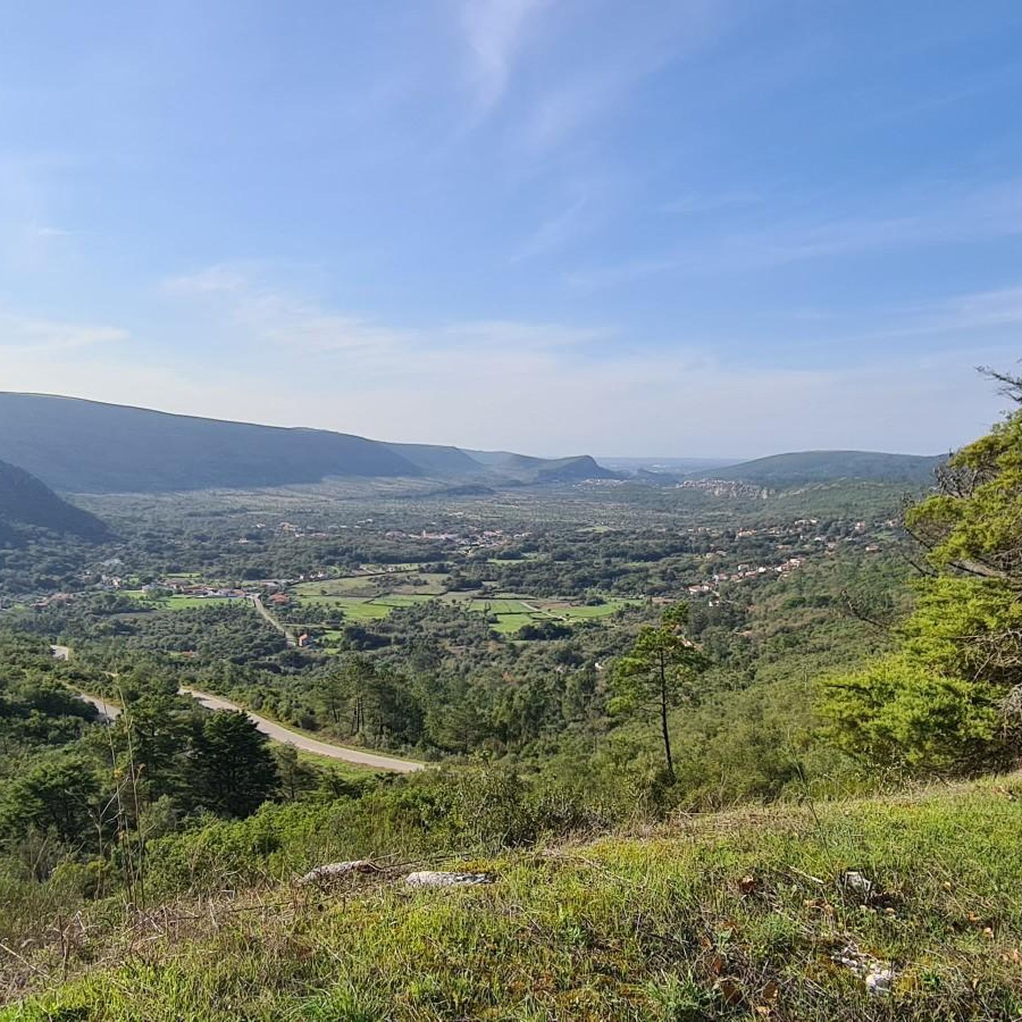
Hiking around Santarém (São Salvador) Portugal offers diverse landscapes, from the Tagus River's serene banks to elevated plateaus. The region is characterized by its significant natural parks, including Serra de Montejunto and Parque Natural das Serras de Aire e Candeeiros, which feature varied terrain. Hikers can explore limestone formations, oak forests, and open fields, providing a range of experiences.
Best hiking trails around Santarém (São Salvador)
- The most popular hiking route is From the Santarém Plateau to the Tejo River…
Last updated: August 17, 2026
6
hikers
7.00km
01:58
140m
140m
This easy 4.4-mile (7.0 km) hiking route offers a blend of Santarém's historic cityscapes and panoramic views of the Tejo River.
5.0
(2)
11
hikers
Easy hike. Great for any fitness level. Easily-accessible paths. Suitable for all skill levels.

Sign up for free
5.0
(1)
14
hikers
Easy hike. Great for any fitness level. Easily-accessible paths. Suitable for all skill levels.
4
hikers
8.42km
02:16
110m
110m
Moderate hike. Good fitness required. Easily-accessible paths. Suitable for all skill levels.
5.0
(1)
11
hikers
Easy hike. Great for any fitness level. Easily-accessible paths. Suitable for all skill levels.
Get access to more routes and recommendations from other explorers.
Sign up for free
Already have an account?
Our route recommendations are based on thousands of hikes, rides, and runs completed by other people on komoot.
Start today with a free account
Your next adventure awaits.
Login or Signup

Tips from the Community

I didn't go in, but I recommend it.
11
2

Church of Santa Maria da Graça, where Pedro Álvares Cabral is buried. Today it is only used as a museum. For special occasions, such as a wedding, the church can still be used as such.
15
1
Interesting graffiti, unfortunately some of it has already chipped off.
19
1
Santarem has been Portuguese since 1147 and, with an old town center of almost 2 square kilometers, is one of the largest in the country. The city may be a little old, but it is definitely worth a visit.
24
1
Building dates from the 1930s and has 63 decorative wall tiles with various themes such as grain harvest, livestock market or horse breeding. Still used for the weekly market.
24
2
The city has a certain charm, but it has faded for many years... As if the city had its heyday in the 1980s. Unfortunately, many shops are empty and the houses are falling into disrepair. Here and there, restoration and new construction is taking place, after all, it has remained Portuguese since 1147 AD. What is still very well preserved is the market hall with its typical ceramic tiles.
10
2
The most impressive building in the city and also the backdrop to the city's central square. This is where the community meets and there are cafes and a tavern.
25
2
A lot of renovation work is currently being carried out in the city, and it is sometimes very difficult to get to some of the buildings.
24
2
Frequently Asked Questions
How many hiking trails are available in Santarém (São Salvador)?
There are currently over 10 hiking trails documented around Santarém (São Salvador) on komoot, offering a variety of experiences for outdoor enthusiasts.
What are the typical difficulty levels for hiking in this region?
The hiking trails in Santarém (São Salvador) primarily cater to easy and moderate skill levels. Our data shows 9 easy routes and 2 moderate routes, making the area accessible for most hikers.
Are there any circular hiking routes in Santarém (São Salvador)?
Yes, several routes in the area are circular. For example, the Sá da Bandeira Square – Jardim das Portas do Sol loop from Santarém is an easy 6.9 km path that explores the city's historic areas. Another option is the Jardim das Portas do Sol – Igreja de São João de Alporão loop from Santarém, which is 6.7 km long and takes you through urban and scenic points.
What kind of natural features or landmarks can I expect to see on a hike?
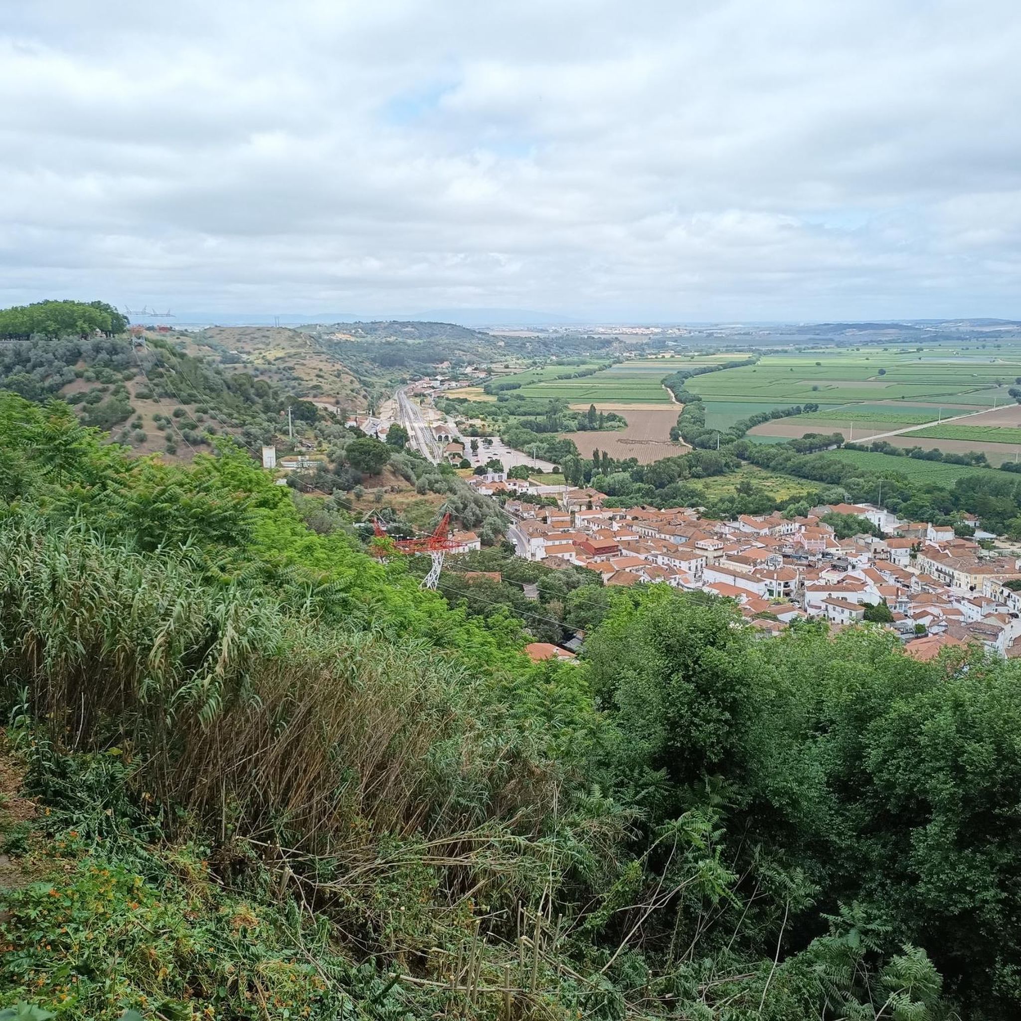
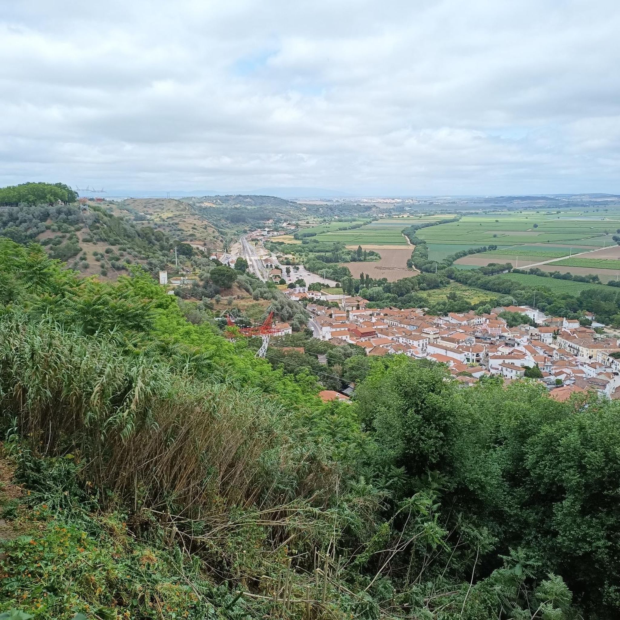
Santarém (São Salvador) offers diverse landscapes. You can explore the serene banks of the Tagus River, discover limestone formations in areas like the Parque Natural das Serras de Aire e Candeeiros, or enjoy panoramic views from elevated plateaus. Notable landmarks include the Jardim das Portas do Sol, offering excellent views of the city and river, and the Cathedral of Santarém.
Are there any trails that feature waterfalls?
While not directly within Santarém (São Salvador) itself, the broader Santarém region offers trails with waterfalls. The Penedo Furado Trail, for instance, is a more adventurous path through woods and along brooks, leading to the impressive Penedo Furado waterfall where hikers can enjoy a refreshing dip.
What do other hikers enjoy most about the trails in Santarém (São Salvador)?
The routes in Santarém (São Salvador) are highly rated by the komoot community, with an average score of 4.8 stars from over 10 reviews. Hikers often praise the varied terrain, from riverside paths to historic cityscapes, and the accessibility of routes for different ability levels.
Are there any family-friendly hiking options?
Yes, many of the trails are suitable for families due to their easy difficulty. The From the Santarém Plateau to the Tejo River Trail (PR2) is an easy 7 km route connecting the city's plateau with the Tagus River banks, perfect for a family outing. The Lago Azul Trail, though further afield, is also known for being suitable for all hiking levels with spectacular views.
Can I hike with my dog in Santarém (São Salvador)?
While specific dog-friendly regulations can vary by park or protected area, many natural trails in the Santarém region are generally welcoming to dogs, especially if kept on a leash. It's always recommended to check local signage or park guidelines for specific rules before you go.
What is the best time of year to go hiking in Santarém (São Salvador)?
The region generally offers pleasant hiking conditions for much of the year. Spring and autumn provide mild temperatures, ideal for exploring. Even in winter, the climate is often suitable for outdoor activities. Summers can be hot, so early morning or late afternoon hikes are recommended during this season.
Are there opportunities for wildlife spotting on the trails?
Yes, especially in protected areas like Serra de Montejunto, which is home to various wildlife, including deer and numerous bird species. The Trilho da Chiqueda route, winding through dense forests and open fields, is particularly ideal for birdwatching and exploring the region's flora and fauna.
Are there any trails that offer significant viewpoints?
Absolutely. Serra de Montejunto, reaching up to 666 meters, offers panoramic views that, on clear days, extend to the ocean. Within the city, the Jardim das Portas do Sol provides excellent vistas of Santarém and the Tagus River. The Cimo da Lagoa, near the Dinosaur Footprints Natural Monument, also offers expansive views.
What kind of terrain can I expect on the trails?
The terrain in Santarém (São Salvador) is quite varied. You'll find riverside paths along the Tagus, trails through natural parks with limestone formations and oak forests, and routes exploring historic cityscapes. Some trails, like those in Serra de Montejunto, involve moderate ascents, while others are gentle strolls.
Most popular routes around Santarém (São Salvador)
Most popular attractions around Santarém (São Salvador)

Get inspired with the komoot mobile app


Explore more
Browse the best Hikes in other regions.
