The best walks and hikes around Gaienhofen
4.5
(8605)
38,069
hikers
103
hikes
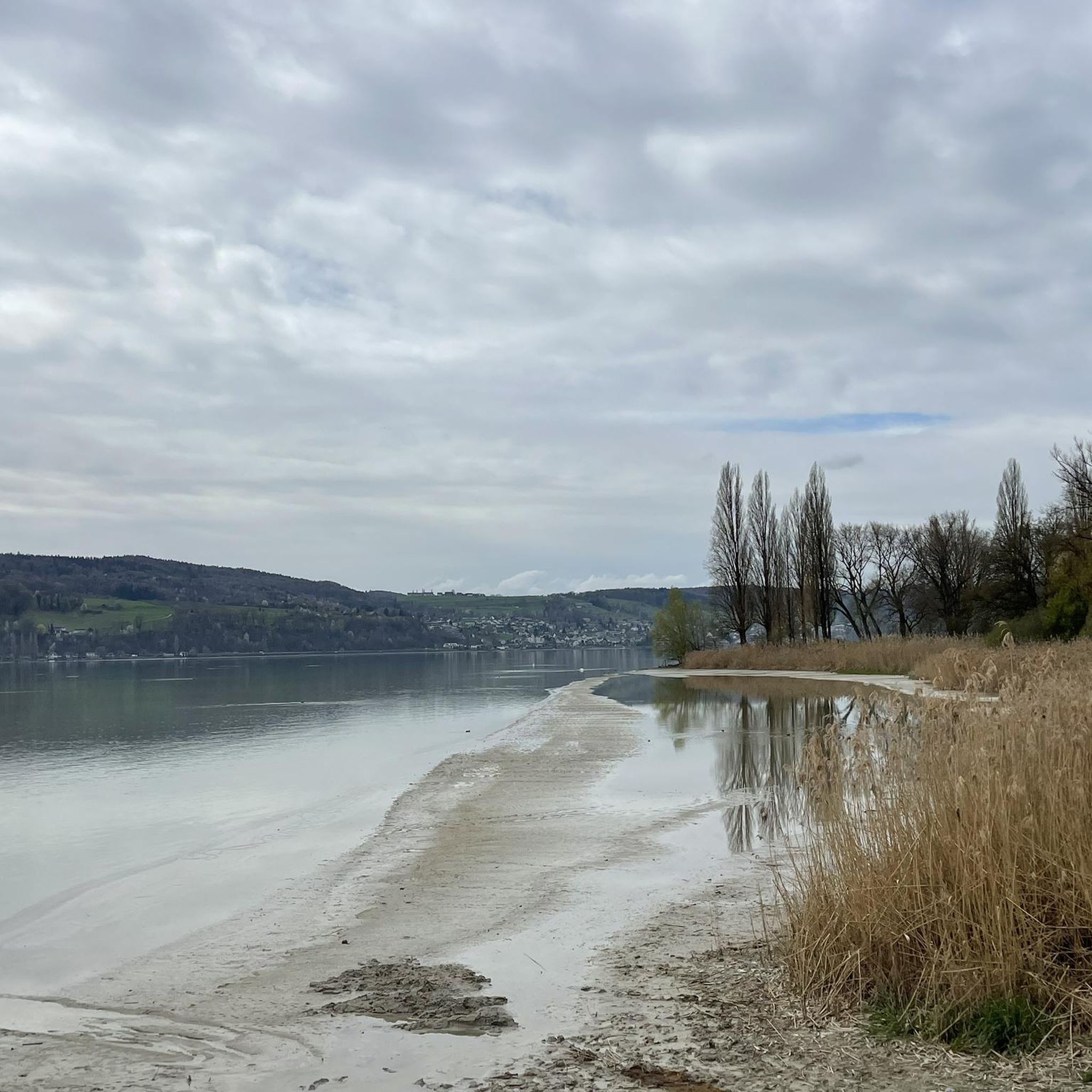
Hiking around Gaienhofen offers diverse landscapes along the shores of Lake Constance. The region features a mix of forests and hills, providing varied terrain for different skill levels. Notable natural features include the Schiener Berg, which offers panoramic views, and the Wollmatinger Ried Nature Reserve, a significant wetland habitat. The area's trails often follow the lake's shoreline or traverse the surrounding elevated areas.
Best hiking trails around Gaienhofen
- The most popular hiking route is View of Lake Constance – Hemmenhofen…
Last updated: October 8, 2026
4.6
(148)
503
hikers
11.9km
03:11
130m
130m
Moderate hike. Good fitness required. Easily-accessible paths. Suitable for all skill levels.
4.7
(117)
365
hikers
9.37km
02:31
120m
120m
Moderate hike. Good fitness required. Easily-accessible paths. Suitable for all skill levels.

4.4
(63)
280
hikers
Moderate hike. Good fitness required. Easily-accessible paths. Suitable for all skill levels.
4.6
(51)
227
hikers
Moderate hike. Good fitness required. Easily-accessible paths. Suitable for all skill levels.
4.6
(16)
87
hikers
Easy hike. Great for any fitness level. Easily-accessible paths. Suitable for all skill levels.
Get access to more routes and recommendations from other explorers.
Already have an account?
Our route recommendations are based on thousands of hikes, rides, and runs completed by other people on komoot.
Start today with a free account
Your next adventure awaits.
Other adventures around Gaienhofen

Tips from the Community


The church of Horn, today called the Church of Saint John and Saint Vitus of Horn, is located on the Höri peninsula, on the shores of Lake Constance. Slightly dominating the village, it is visible from afar and is one of the symbols of the area. Medieval origins: A first parish church is mentioned as early as 1155. The current building still retains elements from this Romanesque period in its masonry. The village of Horn then belonged to the sphere of influence of the very powerful bishops of Constance around Lake Constance. Over the centuries, the church was enlarged and transformed: * late Gothic elements were added; * the stepped gable bell tower was built around 1553; * a major restoration took place in 1673. The Baroque transformation: The current appearance is mainly due to the major renovation of 1717, under the Bishop of Constance Johann Franz von Stauffenberg. The nave, choir, and windows were profoundly modified to create an elegant Baroque hall church. The coat of arms of Bishop Stauffenberg is still visible above the main portal. In 1718, the church received a remarkable late Gothic high altar donated by the cathedral chapter of Constance. It contains panels painted around 1500 by the Constance painter Matthäus Gutrecht the Elder: * the Annunciation; * the Adoration of the Magi. The patron saints: The church is dedicated: * to Saint John the Baptist; * and to Saint Vitus (Saint Guy), a Roman martyr greatly venerated in the Middle Ages. The patronal feast is celebrated around June 24, St. John's Day. A landmark of the Lake Constance landscape: Thanks to its dominant position above the lake, the church has become a true landmark for travelers and navigators on Lake Constance. Today, it is one of the remarkable historical churches in the Lake Constance region.
0
0


Frequently Asked Questions
How many hiking trails are available in Gaienhofen?
Gaienhofen offers a wide variety of hiking experiences, with over 100 trails to explore. These include approximately 70 easy routes, 30 moderate routes, and a few more challenging options, ensuring there's something for every skill level.
What kind of terrain will I encounter on hikes around Gaienhofen?
You can expect diverse terrain, ranging from gentle paths along the picturesque Lake Constance shoreline to rolling hills and wooded areas. Elevated regions like the Schiener Berg provide more varied landscapes and panoramic views. Some trails, such as those around Hohenstoffeln, offer different challenge levels.
Are there any family-friendly hiking trails in Gaienhofen?
Yes, many trails in Gaienhofen are suitable for families. The lakeside paths are generally gentle and offer natural beaches for breaks. Look for routes categorized as 'easy' for the most family-friendly options, which often feature minimal elevation gain and shorter distances.
What are the best times of year to go hiking in Gaienhofen?
The best seasons for hiking in Gaienhofen are spring and autumn. During spring, the weather is mild, and you can enjoy blossoming fruit trees. Autumn offers vibrant colorful leaves and pleasant temperatures. While summer is also popular, it can be warmer, and winter hikes are possible, though some paths might be less accessible.
Are there any circular hiking routes in Gaienhofen?
Yes, Gaienhofen features several excellent circular routes. One popular option is the View of Lake Constance – Hemmenhofen Lakeside Park loop from Steckborn, which offers expansive lake views. Another is the Stehlwiesen Nature Reserve – Horn Water Tower and Viewpoint loop from Gundholzen, leading through a nature reserve to scenic viewpoints.
What natural attractions or viewpoints can I find along the trails?
Many trails offer stunning natural attractions and viewpoints. You can enjoy breathtaking views of Lake Constance from elevated areas like the Schiener Berg. The Stehlwiesen Nature Reserve – Horn Water Tower and Viewpoint loop from Gundholzen passes by a water tower with scenic vistas. The Wollmatinger Ried Nature Reserve is also a significant wetland habitat for diverse flora and fauna, ideal for birdwatching.
Are there any caves to explore near Gaienhofen?
Yes, there are several caves in the vicinity of Gaienhofen. You might encounter highlights such as the Five-Minute Cave or the Sandstone Caves Above Stein am Rhein. Some trails, like those on the Schiener Berg, also have cave systems, such as the Schiener Berg MTB Trail and Caves.
What do other hikers enjoy most about hiking in Gaienhofen?
The area is highly rated by the komoot community, with an average score of 4.6 stars from over 7,500 reviews. Reviewers often praise the diverse landscapes, the stunning views of Lake Constance, and the well-maintained trails that cater to various ability levels, from easy lakeside strolls to more challenging excursions through forests and hills.
Are there any places to eat or rest along the hiking routes?
Yes, you can find options for refreshment and rest. For example, the Georg's Fisherman's Hut and a Lakeside terrace restaurant on Lake Constance are available. There are also picnic and barbecue areas like the Mittlere Wies Picnic and Barbecue Area and a Picnic Area Near Hohenklingen Castle.
Can I reach Gaienhofen hiking trails using public transport?
Gaienhofen is generally accessible by public transport, particularly buses that connect to larger towns around Lake Constance. While specific trailheads might require a short walk from bus stops, the region's public transport network can help you reach various starting points for your hikes.
Are there any easy hikes suitable for beginners?
Absolutely. Gaienhofen offers many easy hikes perfect for beginners or those looking for a relaxed stroll. An example is the Cemetery and Church of Horn – Horn Water Tower and Viewpoint loop from Gundholzen, which is categorized as easy and covers a distance of about 7 km.
Most popular routes around Gaienhofen
Most popular attractions around Gaienhofen

Get inspired with the komoot mobile app


Explore more
Browse the best Hikes in other regions.
