The best running trails around Gondar e Orbacém e Orbacém e Orbacém
4.0
(17)
990
runners
111
runs
Jogging around Gondar e Orbacém e Orbacém e Orbacém offers diverse natural landscapes, characterized by mountainous terrain and lush greenery. The region is influenced by the Serra D'Arga mountain range, providing varied surfaces including mountain paths and forest roads. Jogging routes often feature significant elevation changes and scenic views. The wider municipality's proximity to the Minho River also offers opportunities for runs along riverbanks.
Best jogging routes around Gondar e Orbacém e Orbacém e Orbacém
- The most popular jogging route…
Last updated: July 25, 2026
66
runners
49.2km
07:09
2,240m
2,240m
Hard run. Very good fitness required. Sure-footedness, sturdy shoes and alpine experience required.
1.0
(1)
63
runners
32.6km
04:40
1,380m
1,380m
Hard run. Very good fitness required. Mostly accessible paths. Some sure footedness required.

Sign up for free
16
runners
Moderate run. Good fitness required. Mostly paved surfaces. Suitable for all skill levels.
15
runners
17.1km
02:39
880m
880m
Hard run. Very good fitness required. Sure-footedness, sturdy shoes and alpine experience required.
13
runners
13.6km
01:51
550m
550m
Hard run. Very good fitness required. Mostly paved surfaces. Suitable for all skill levels.
Get access to more routes and recommendations from other explorers.
Sign up for free
Already have an account?
Our route recommendations are based on thousands of hikes, rides, and runs completed by other people on komoot.
Start today with a free account
Your next adventure awaits.
Login or Signup
Popular around Gondar e Orbacém e Orbacém e Orbacém

Tips from the Community

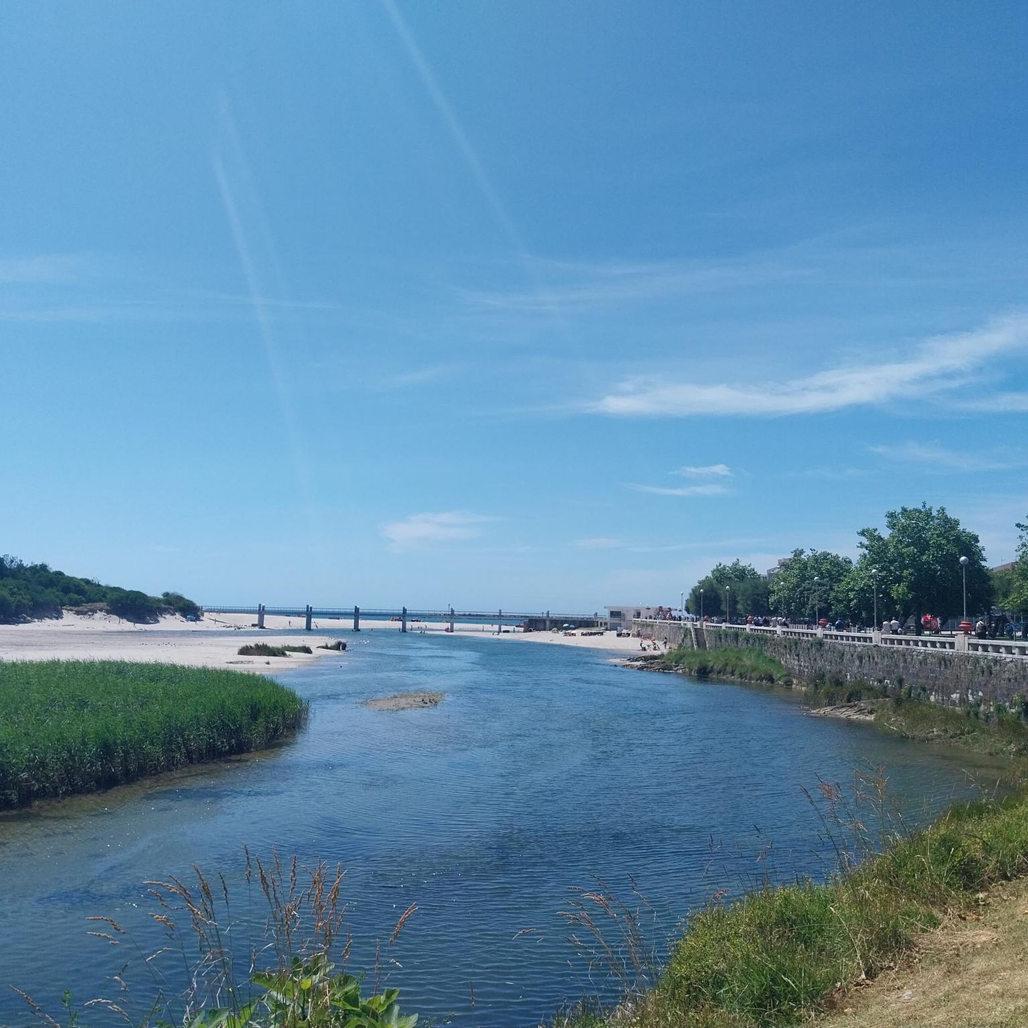
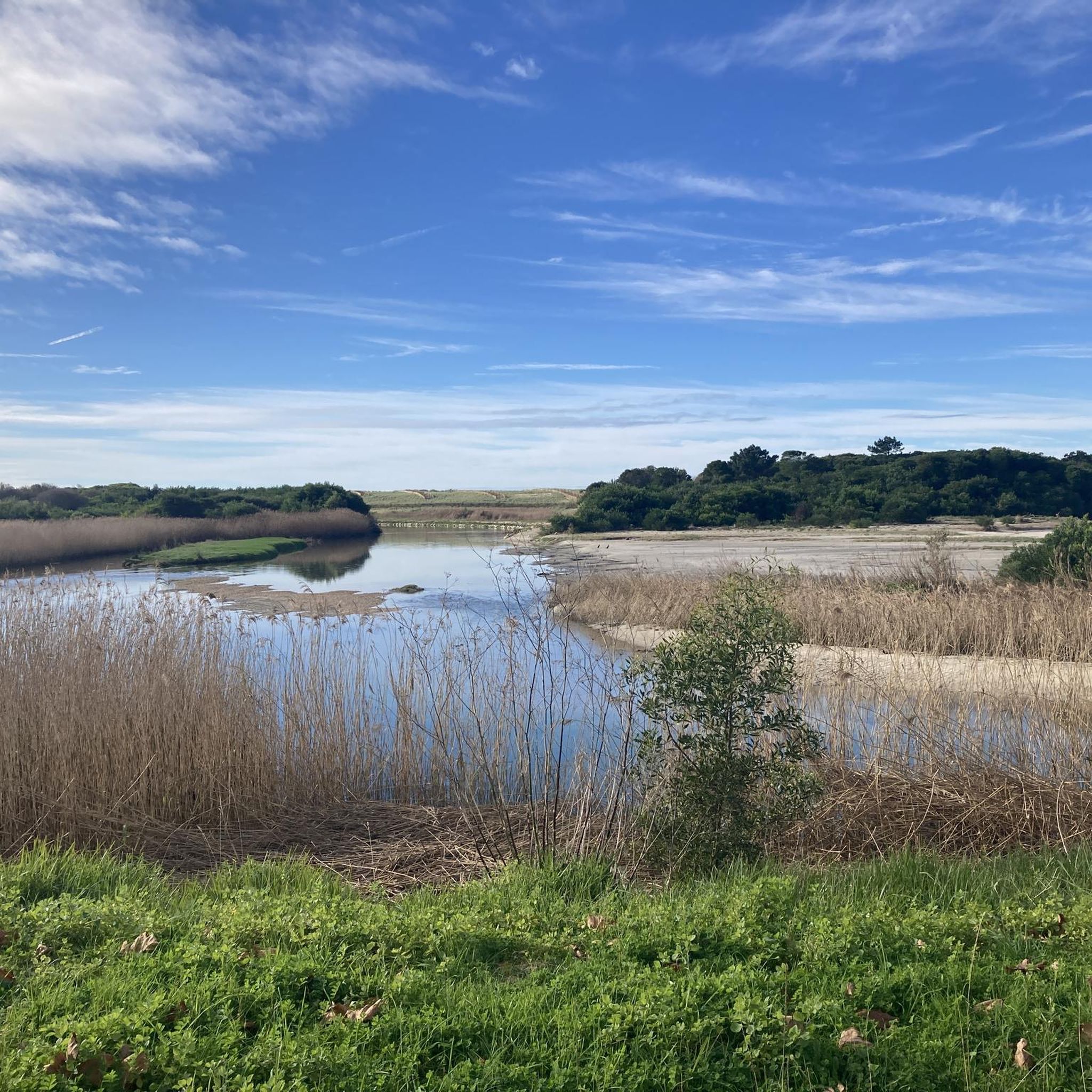
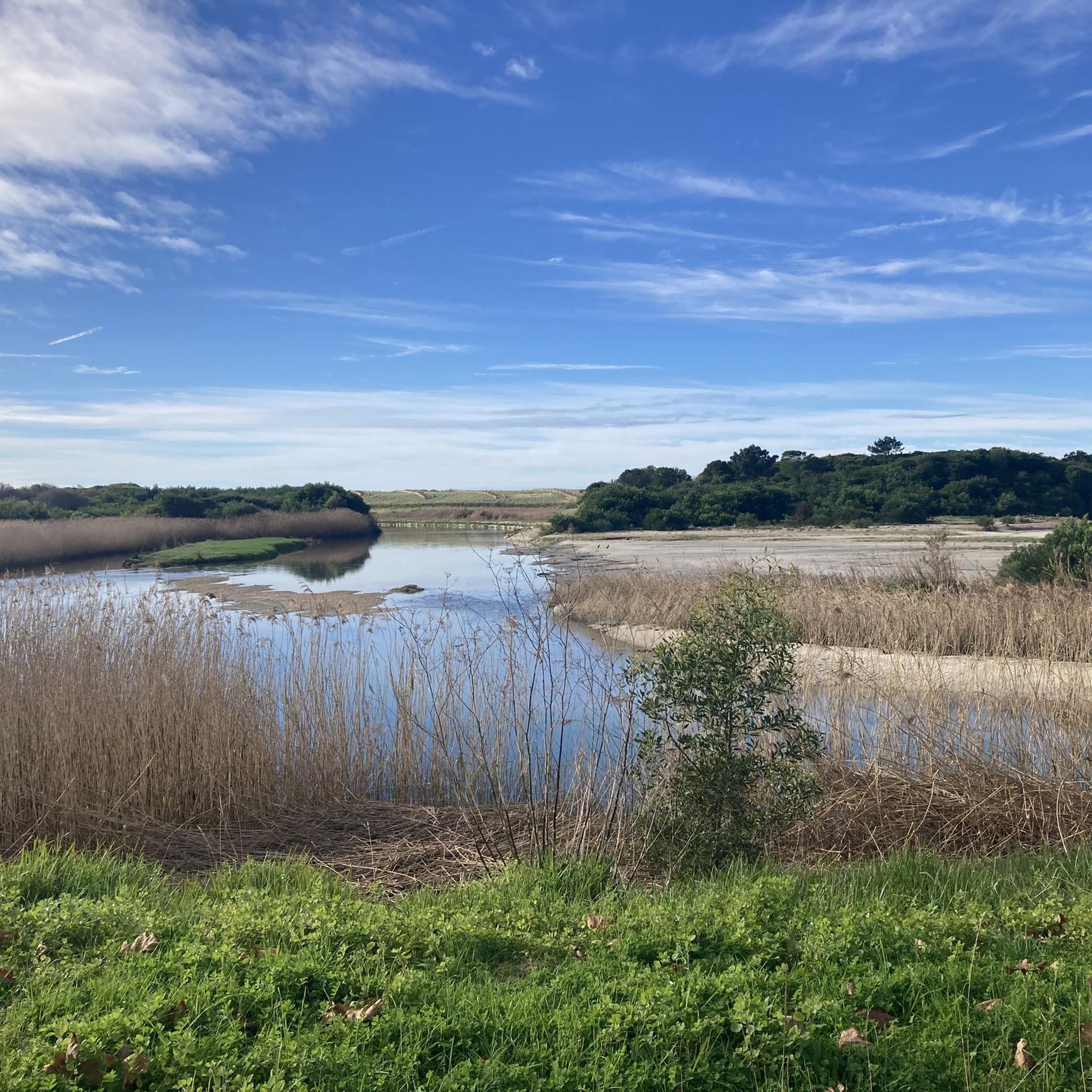
The entrance to the forest, near the mouth of the Minho River, has good support infrastructure: Amenities: Picnic area, playground, bars, restaurants and parking. Attractions: In the middle of the forest, you will find the Chapel of Our Lady of Good Success, built to celebrate the Portuguese victory against the French army in 1809. Views: Enjoy magnificent views of the imposing Ínsua Fort, situated on a rocky island at the mouth of the river. Regulations: Dogs are allowed, but check local regulations before you go.
1
0
"Between the Sea and the Mountain" Route (PR5): A longer option, approximately 19.0 km long and of moderate difficulty, which passes through the forest and other points of interest in the region.
1
0
Ecovia da Praia da Foz do Rio Minho: A route that allows walking and cycling on wooden walkways along the coast and the river mouth, connecting the wooded area with the beach and Caminha.
1
0
Standard Loop Trail: A popular loop trail of approximately 3.4 km that can be completed in about 45 minutes to 1 hour, with minimal elevation gain, and is considered easy for most people. It is a popular trail for running and walking.
1
0
There are several winding, sandy paths that crisscross this historic forest, whose pine plantations date back to the 13th century. The most common routes include:
1
0
The Camarido National Forest, in Caminha, offers several easy trails and walking routes, ideal for hiking, running or cycling, combining the coolness of the pine forest with the proximity to the sea and the Minho River estuary.
1
0
In Spain (Galicia) Muíños do Picón and do Folón: On the Spanish side, in O Rosal, the area offers hiking trails with views of Portugal and the river mouth from elevated points. A Guarda: The Spanish city on the other side of the river also offers direct views of the Portuguese beach and the dynamic river mouth.
1
0
In Portugal (Caminha and Vila Nova de Cerveira) Foz do Minho Beach: Located in the town of Caminha, this river beach offers a fantastic and direct view of the river mouth, with Spain (A Guarda) on the other side of the river. It is a popular spot for walking and watching the sunset. Deer Viewpoint and Swing: Situated in Vila Nova de Cerveira (just before reaching the actual river mouth, but overlooking the valley), it is often described as having "the best view of the Minho," crossing the entire river valley from Valença to the mouth. It offers a stunning panoramic view and easy access. Foz do Minho Restaurant: This restaurant in Vilarelho, Caminha, is known for having an excellent view of the river mouth from its windows, combining gastronomy with scenery.
1
0
Frequently Asked Questions
How many running routes are available around Gondar e Orbacém?
There are over 85 running routes in the Gondar e Orbacém area, offering a wide variety of experiences. These range from easy coastal paths to challenging mountain trails within the Serra D'Arga.
Are there any easy or beginner-friendly jogging routes in the region?
Yes, while the region is known for its mountainous terrain, there are options suitable for beginners. For example, the Ecovia Litoral Norte 🚲 loop from Âncora-Praia is a moderate 6.7-mile (10.9 km) path with minimal elevation gain, offering a relatively flat experience along the coast.
Can I find circular running routes in Gondar e Orbacém?
Absolutely. Many routes in the area are circular, allowing you to start and finish at the same point. A notable example is Between the Sea and the Mountain (PR 5) — circular route, which is a challenging 12.6-mile (20.3 km) trail with significant elevation changes.
Are there running trails suitable for families?
While specific 'family-friendly' routes are not explicitly categorized, many of the easier, flatter sections, particularly those along the coast or through green spaces, could be suitable for families. Look for routes with lower elevation gain and shorter distances, similar to the Praia de Vila Praia de Âncora loop from Moledo do Minho, which is a 5.9-mile (9.5 km) coastal trail.
What kind of terrain can I expect on the running routes?
The terrain around Gondar e Orbacém is incredibly diverse. You'll encounter mountainous paths, forest roads, and even riverbank trails. The Serra D'Arga area features rugged terrain with varied surfaces, including streams and rocky sections, while coastal routes offer flatter, often paved or gravel paths.
Are there any waterfalls or scenic viewpoints along the running trails?
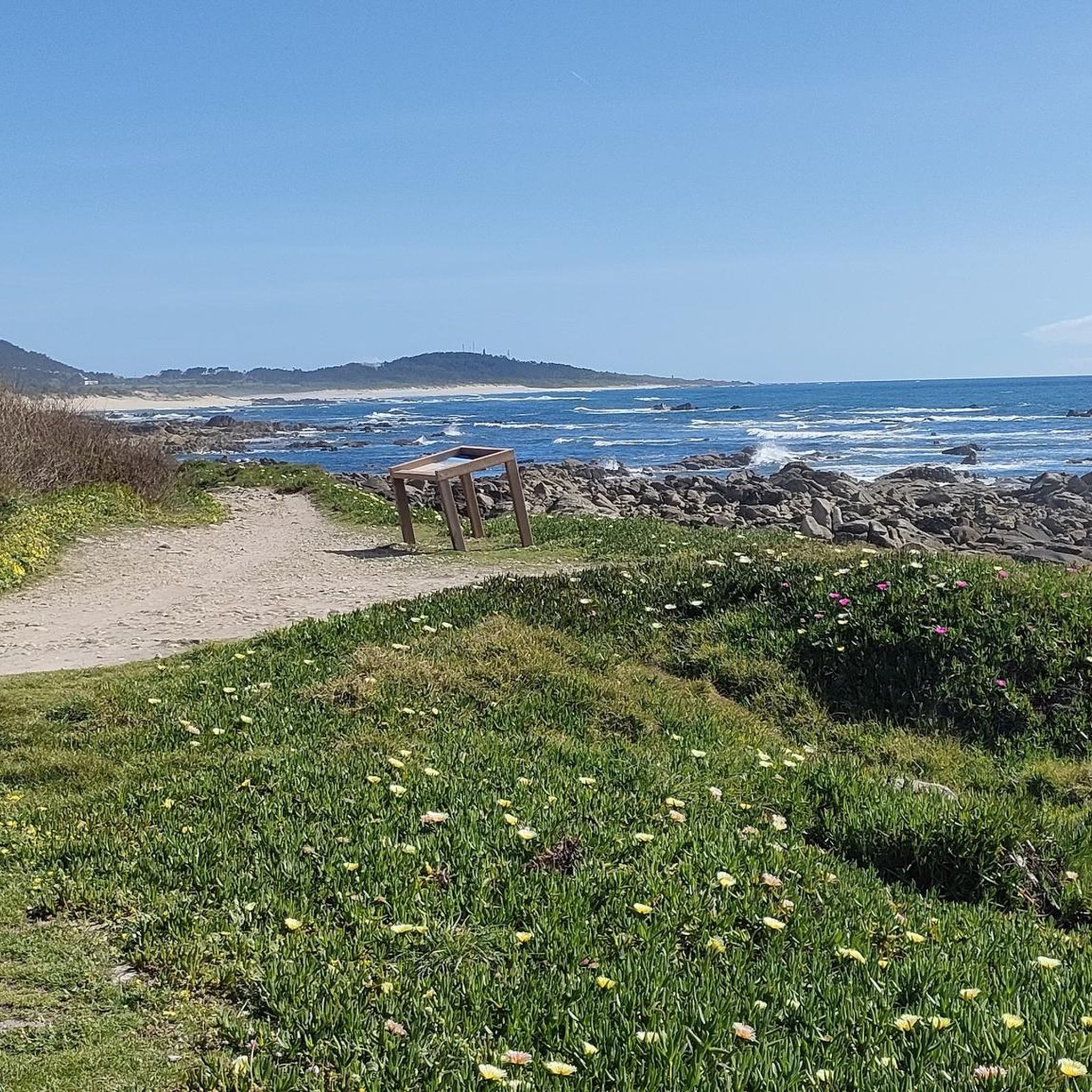
Yes, the region is rich in natural beauty. Within the Serra D'Arga, you can find picturesque spots like the Pincho Waterfall. Many routes also offer breathtaking panoramic views, such as the View over the mouth of the Minho River, especially from higher elevations in the Serra D'Arga.
What do other runners say about the trails in Gondar e Orbacém?
The running routes in Gondar e Orbacém are highly rated by the komoot community, with an average score of 4.2 stars from 18 reviews. Runners often praise the diverse landscapes, from challenging mountain trails to scenic coastal paths, and the opportunities for nature immersion.
Are there any historical or cultural landmarks to see while running?
Yes, the region offers a blend of natural and cultural heritage. You might encounter ancient paths, like the Vezeira Trail, and local villages that preserve rural customs. Notable historical sites include Castro de Santa Tecla and the Praça Conselheiro Silva Torres and Historic Center of Caminha, which can be explored during or after your run.
Are there any longer, more challenging running routes for experienced runners?
For experienced runners seeking a challenge, the region offers several demanding routes. The View over Arga de Baixo – Porta do Lobo loop from Gondar is a difficult 30.7-mile (49.4 km) route with over 2,200 meters of elevation gain, providing a significant endurance test.
What is the best time of year to go jogging in Gondar e Orbacém?
The region's lush greenery suggests that spring and autumn would be ideal, offering pleasant temperatures and vibrant scenery. Summer can be warm, especially on exposed mountain trails, while winter might bring cooler temperatures and potentially more challenging trail conditions in higher elevations.
Are there opportunities to see wildlife on the running trails?
Yes, especially in the Serra D'Arga area. Joggers might encounter unique wildlife, including the rare garranos (wild horses). The diverse natural park environment also supports various flora and fauna, adding an element of wilderness to your run.
Where can I find parking near the running routes?
While specific parking locations vary by route, many trailheads in the region, particularly those for popular routes or near villages, typically offer designated parking areas. For coastal routes, parking is often available near beaches or town centers like Moledo do Minho, which serves as a starting point for routes such as Praia de Vila Praia de Âncora loop from Moledo e Cristelo.
Most popular routes around Gondar e Orbacém e Orbacém e Orbacém
Most popular attractions around Gondar e Orbacém e Orbacém e Orbacém

Get inspired with the komoot mobile app


Explore more
Browse the best Running Trails & Routes in other regions.
