The best walks and hikes around Agualonga
4.5
(64)
292
hikers
20
hikes
Hiking around Agualonga offers diverse landscapes, from the panoramic views of the Serra de Santa Justa to the tranquil River Ferreira valley. The region is characterized by quartzite ridges and rural settings, providing varied terrain for outdoor exploration. Hikers can experience the contrast between expansive coastal views and picturesque riverine environments. The area features a network of established trails catering to different fitness levels.
Best hiking trails around Agualonga
- The most popular hiking route is Toca River Beach – Rock…
Last updated: July 17, 2026
11
hikers
12.3km
03:15
120m
120m
Moderate hike. Good fitness required. Easily-accessible paths. Suitable for all skill levels.
4.8
(13)
26
hikers
6.40km
01:50
140m
140m
Easy hike. Great for any fitness level. Easily-accessible paths. Suitable for all skill levels.

Sign up for free
5.0
(12)
26
hikers
6.75km
01:56
150m
150m
Easy hike. Great for any fitness level. Easily-accessible paths. Suitable for all skill levels.
4.6
(5)
15
hikers
5.57km
01:31
80m
80m
Easy hike. Great for any fitness level. Easily-accessible paths. Suitable for all skill levels.
3.3
(3)
27
hikers
14.4km
04:16
410m
410m
Moderate hike. Good fitness required. Easily-accessible paths. Suitable for all skill levels.
Get access to more routes and recommendations from other explorers.
Sign up for free
Already have an account?
Our route recommendations are based on thousands of hikes, rides, and runs completed by other people on komoot.
Start today with a free account
Your next adventure awaits.
Login or Signup
Popular around Agualonga
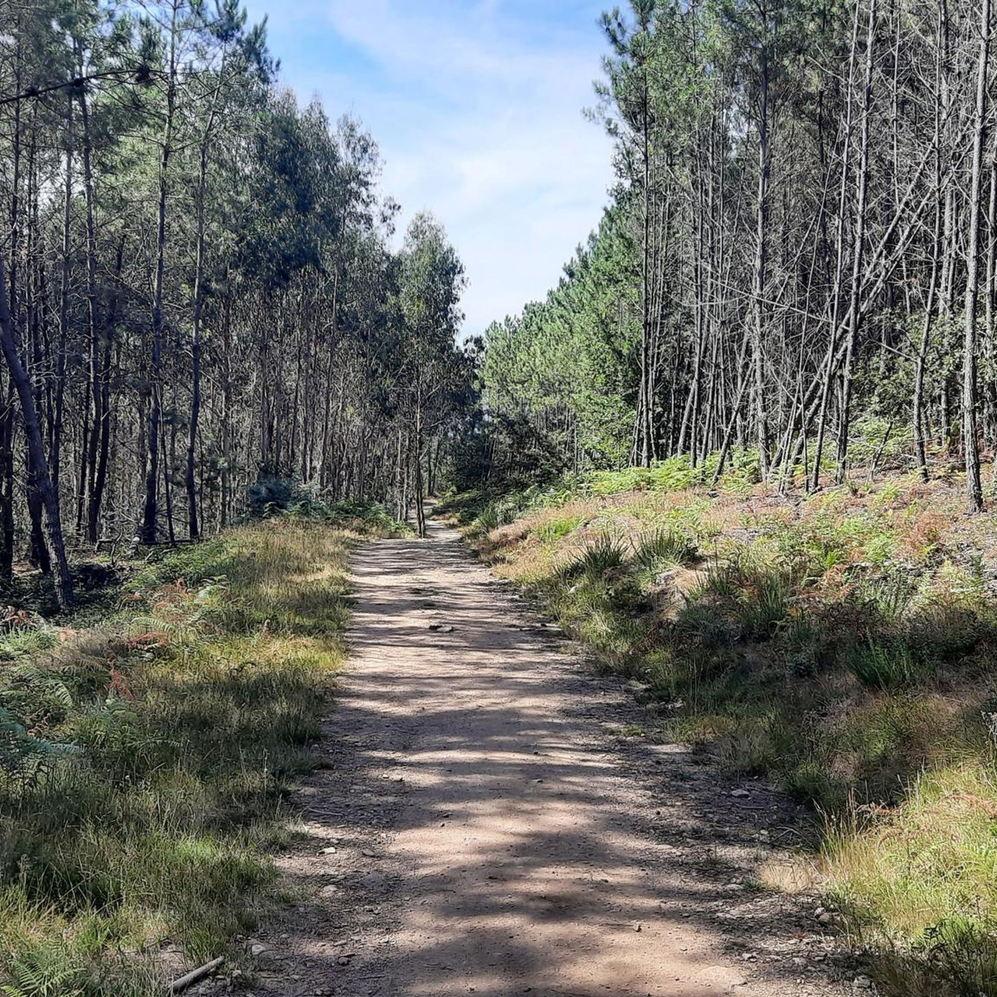
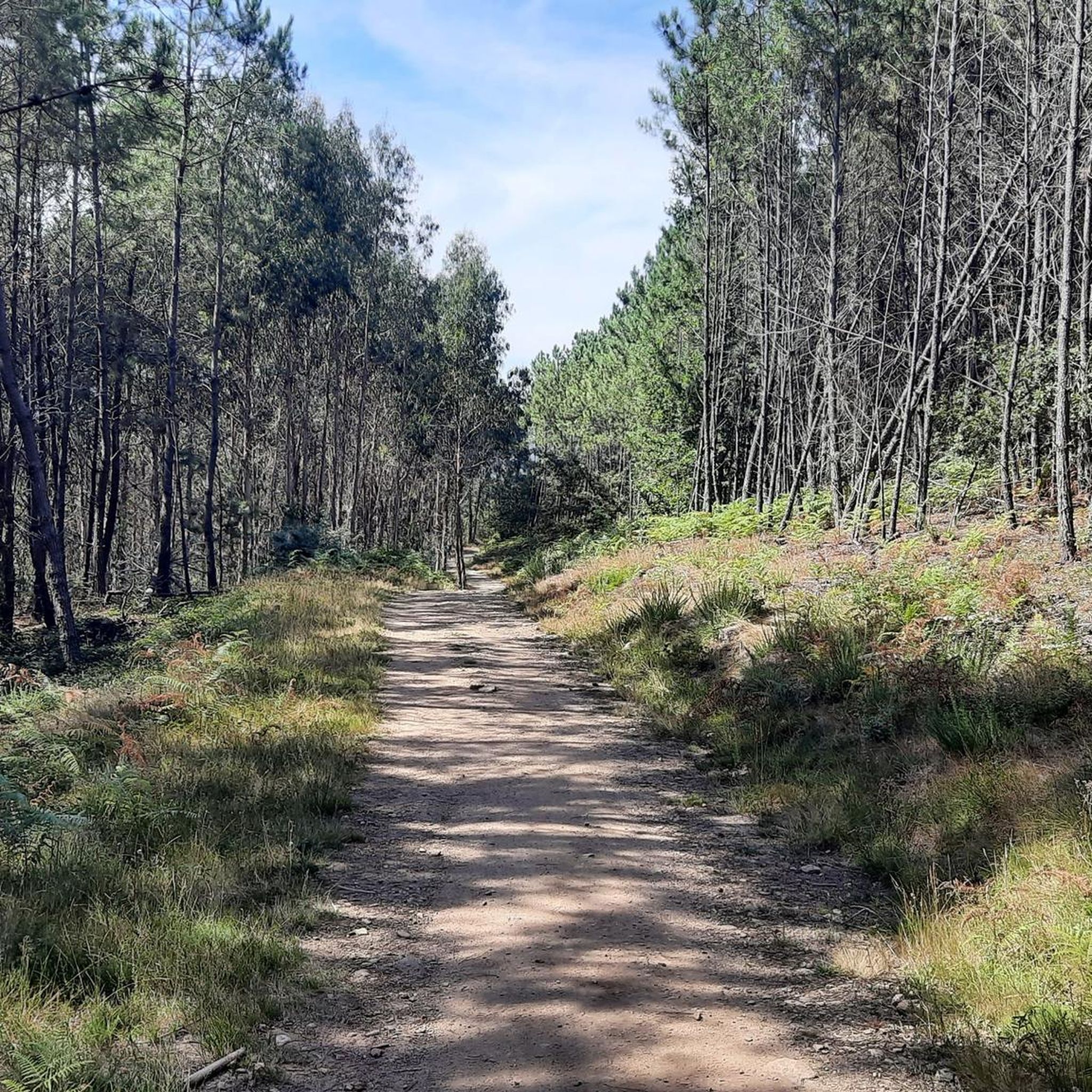

Tips from the Community

Curious name for this fountain carved in stone.
1
1
A beautiful picture, in the upper part of the town.
1
0
Today without any water, what a shame.
0
0
A great idea if you're in the area: windmills, waterfalls, a beautiful river, a small suspension bridge, footbridges...
0
0

This waterfall was amazing. It felt like a wild animal in the savannah or a boar in the water. 😅
0
0
The beginning is a bit sad However, the second part is better!
0
2

The ascent of Serra da Labruja is, for many, the greatest challenge of the Central Portuguese Way to Santiago, and also one of its most memorable moments. It's a steep climb of over 400 meters along rustic trails, where nature follows its own rhythm. But every step is worth it. The mountain range, shrouded in mystery and wild beauty, holds an unforgettable gift at its summit: a breathtaking landscape, where the horizon opens up in every direction.
2
0
Frequently Asked Questions
How many hiking trails are available around Agualonga?
Agualonga offers a diverse selection of over 20 hiking trails, catering to various preferences. These include 10 easy routes and 10 moderate routes, ensuring options for different fitness levels.
Are there any easy hiking trails suitable for beginners or families in Agualonga?
Yes, Agualonga has 10 easy hiking routes perfect for beginners or families. An excellent option is the Traves Mill – Ponte das Traves loop from Arga (Baixo, Cima e São João), a 4.0-mile (6.4 km) trail that leads through river valleys and past old mills, typically completed in under two hours. Another easy choice is the Covas Leisure Area – Pathway in Covas loop from Covas, a 5.6 km route with minimal elevation gain.
What kind of natural features or landmarks can I expect to see on hikes in Agualonga?
Hiking in Agualonga offers a variety of natural features. You can explore the quartzite ridges of the Serra de Santa Justa, offering panoramic views, and the tranquil River Ferreira valley. Routes often pass by picturesque riverine landscapes and old mills. For specific natural attractions, consider visiting the Waterfall and Cascades of the Rio Couro or the Cascata de Vilarinho. You might also encounter unique geological formations like the Troll Rock in Serra de Arga.
Are there any circular hiking routes in Agualonga?
Many of Agualonga's trails are designed as circular routes, offering convenient starting and ending points. For example, the Toca River Beach – Rock Cairn Trail Marker loop from Labruja is a moderate 17.9 km loop exploring riverine landscapes. Another popular circular option is the Pagade Mill – Covas Leisure Area loop from Covas, a 9.8 km moderate path through rural areas.
What do other hikers say about the trails in Agualonga?
The hiking trails in Agualonga are highly regarded by the komoot community, holding an average rating of 4.5 stars from over 60 reviews. Hikers often praise the diverse landscapes, from the expansive views of the Serra de Santa Justa to the peaceful river valleys, and the well-maintained network of trails.
Are there any specific viewpoints or summits I can hike to in Agualonga?
Yes, the region offers several rewarding viewpoints and summits. You can hike to the Corno de Bico Summit (883 m) or the Salgosa Summit (553 m) for impressive vistas. The Porta do Lobo also offers a notable viewpoint.
Can I find trails that pass by water features or offer opportunities for wild swimming?
While specific wild swimming spots are not detailed for every route, many trails in Agualonga follow river valleys, such as the River Ferreira, and pass by natural water features. The Toca River Beach – Rock Cairn Trail Marker loop from Labruja explores riverine landscapes, and you can find highlights like the Waterfall and Cascades of the Rio Couro and the Cascata de Vilarinho nearby.
Is there parking available near the trailheads in Agualonga?
While specific parking information for every trailhead isn't provided, many hiking areas in Portugal, including those around Agualonga, typically offer designated parking spots near popular trail starting points, especially for routes accessible from villages or leisure areas. It's advisable to check individual route descriptions on komoot for detailed parking suggestions.
What is the best time of year to go hiking in Agualonga?
Agualonga offers pleasant hiking conditions for much of the year. Spring and autumn are generally ideal, with mild temperatures and vibrant natural scenery. Summer can be warm, but higher elevation trails or early morning hikes are still enjoyable. Winter hiking is possible, especially on lower-lying routes, but it's always wise to check local weather conditions.
Are there any facilities or picnic areas along the hiking trails?
Yes, some routes pass by or lead to areas with facilities. For instance, the Pagade Mill – Covas Leisure Area loop from Covas connects historical mills and leisure spots, which often include picnic areas. You can also find a dedicated Rest and picnic area at the Top of Serra da Labruja.
Can I reach hiking trails in Agualonga using public transport?
While Agualonga is a rural area, some villages that serve as trailheads might be accessible by local bus services. However, public transport options can be limited. For the most flexibility, especially to reach more remote trail starts, traveling by car is often recommended. It's best to research specific routes and their proximity to public transport stops.
Most popular routes around Agualonga
Most popular attractions around Agualonga

Get inspired with the komoot mobile app


Explore more
Browse the best Hikes in other regions.
