The best road cycling routes around Paredes De Coura
3.5
(2)
95
riders
8
rides
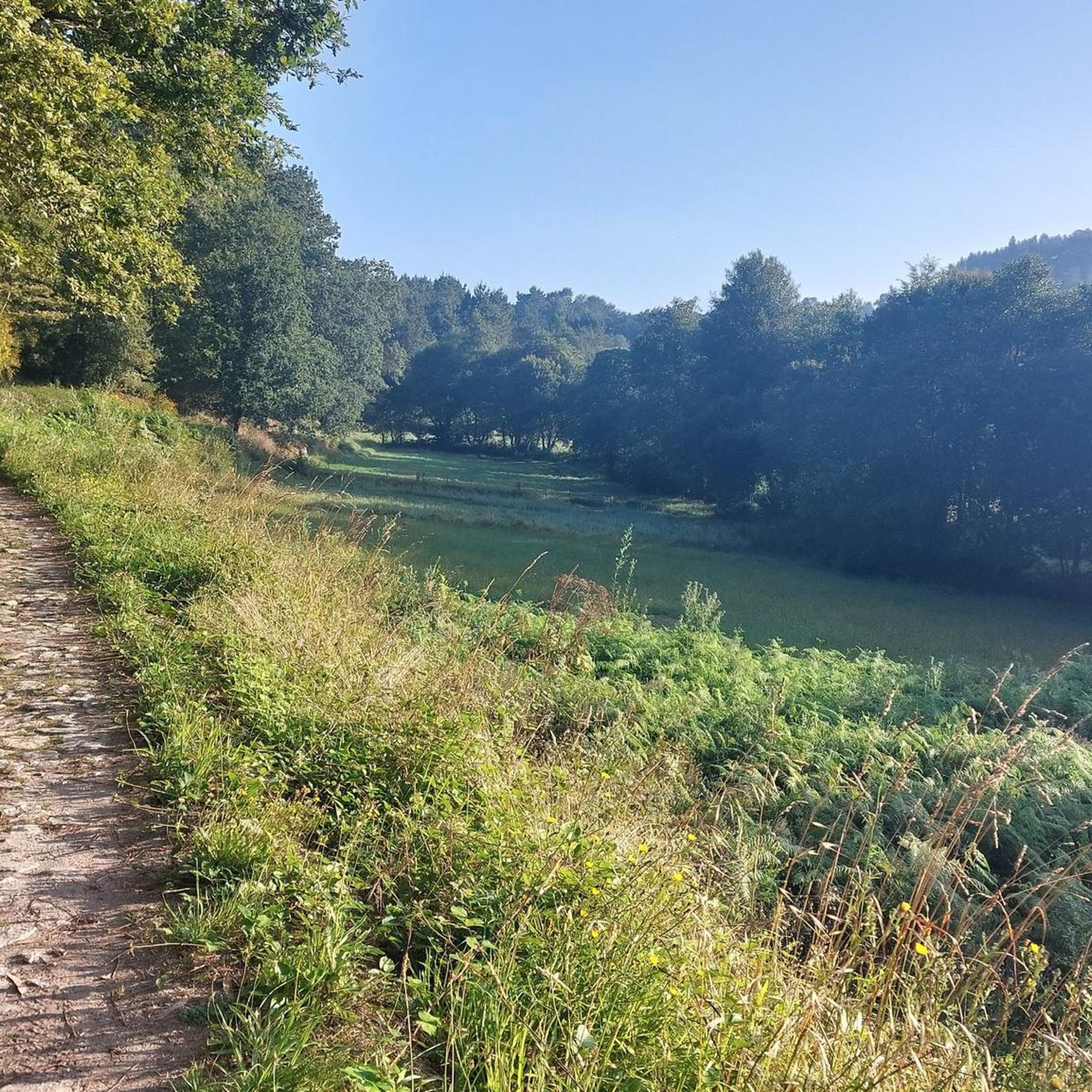
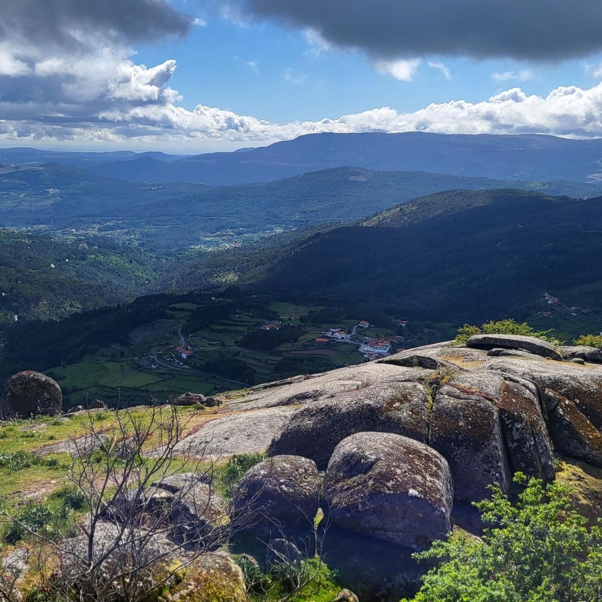
Road cycling routes around Paredes De Coura navigate a landscape characterized by river valleys, rolling hills, and historical landmarks. The region features significant elevation changes, with routes often including climbs of over 800 meters. Road cyclists can expect a mix of open roads and sections passing through rural areas, offering varied terrain for different skill levels.
Best road cycling routes around Paredes De Coura
- The most popular road cycling route is Roman Bridge of Ponte de Lima loop from Insalde e Porreiras, a 39.5 miles (63.6 km) trail that takes 3 hours 25 minutes to complete. This difficult route features significant elevation gain and passes by the historic Roman Bridge.
- Another top favourite among local road cyclists is Valença Fortress – Fortress of Valença loop from Coura, a difficult 40.2 miles (64.7 km) path. This route offers views of the Valença Fortress and traverses a varied landscape.
- Local road cyclists also love the Roman Bridge of Ponte de Lima – Ponte de Lima loop from Coura, a 40.1 miles (64.5 km) trail leading through river valleys and historical areas, often completed in about 3 hours 12 minutes.
- Road cycling around Paredes De Coura is defined by river valleys, historical bridges, and challenging climbs. The network offers options for both moderate and difficult ability levels.
- The routes in Paredes De Coura are highly rated by the komoot community with an average score of 5.0 stars from 1 review. More than 80 road cyclists have used komoot to explore Paredes De Coura's varied terrain.
Last updated: October 7, 2026
3.5
(2)
25
riders
63.6km
03:25
1,150m
1,150m
Hard road ride. Very good fitness required. Mostly well-paved surfaces and easy to ride.
20
riders
64.7km
03:29
1,090m
1,090m
Hard road ride. Very good fitness required. Some segments of this route may be unpaved and difficult to ride.

17
riders
64.2km
03:09
820m
820m
Moderate road ride. Good fitness required. Mostly well-paved surfaces and easy to ride.
12
riders
68.2km
03:26
1,030m
1,030m
Hard road ride. Very good fitness required. Mostly well-paved surfaces and easy to ride.
6
riders
41.8km
02:16
820m
820m
Moderate road ride. Good fitness required. Mostly well-paved surfaces and easy to ride.
Get access to more routes and recommendations from other explorers.
Already have an account?
Our route recommendations are based on thousands of hikes, rides, and runs completed by other people on komoot.
Start today with a free account
Your next adventure awaits.

Tips from the Community

Easy ride condition when path is not impacted by rain
0
0

Valença Fortress, also known as Praça-forte de Valença do Minho, is an imposing jewel of Portuguese military architecture with over eight centuries of history. Its origins date back to the 13th century, when King Sancho I and later Afonso III fortified it to protect the border with Galicia. During the Restoration War (17th–18th centuries), it was transformed into a Vauban-style fortress under the engineer Miguel de l’École and the architect Manuel Pinto de Vilalobos, being completed in 1713. The fortress withstood attacks during the Restoration, was captured and recaptured several times, and was also defended during the Napoleonic Wars and the Liberal Wars.
4
0

Historical Context Origin of the name: The town of Ponte de Lima, the oldest in Portugal, derives its name from the bridge that crosses it. Way of St. James: The bridge is an important crossing point on the Portuguese Way of St. James. Legend: The legend of the Lima River, which runs under the bridge, tells that the Romans believed it to be the river of forgetfulness, which would have given rise to the myth that people who crossed it would forget their past lives.
2
0
The bridge that gives the Lima Bridge its name is actually a combination of two structures: a Roman section, built in the 1st century, and a medieval section, expanded in the 14th century. It crosses the Lima River and is one of the town's most emblematic monuments. Characteristics of the bridge Roman section: The remaining Roman section consists of five arches, and its construction is linked to the military road that connected the cities of Braga and Astorga. Medieval section: The medieval portion of the bridge is larger and was built to connect to the Roman section, extending the structure over the river. Material: The bridge is built of granite, using the Roman technique of "quadratum" and "vittatum" masonry.
2
0

A city bathed by the Lima River, with walking trails in the area and good food.👍🥾🇵🇹
1
0

Inside is the tourist office.
2
1
The main attraction of the town.
2
0
Frequently Asked Questions
What types of road cycling routes can I find in Paredes De Coura?
Paredes De Coura offers a variety of road cycling routes characterized by river valleys, rolling hills, and historical landmarks. You'll find options ranging from moderate to difficult, often featuring significant elevation changes.
Are there any moderate road cycling routes suitable for intermediate riders?
Yes, there are several moderate routes. For example, the Roman Bridge of Ponte de Lima – Ponte de Lima loop from Coura is a 64.5 km trail with about 808 meters of elevation gain, offering a challenging yet manageable ride. Another good option is the Small wooden bridge loop from Paredes de Coura, which is 41.7 km long with 816 meters of ascent.
What are the most challenging road cycling routes in Paredes De Coura?
For advanced cyclists seeking a challenge, routes like the Roman Bridge of Ponte de Lima loop from Insalde e Porreiras stand out. This difficult 63.6 km route includes over 1100 meters of elevation gain. Another demanding option is the Valença Fortress – Fortress of Valença loop from Coura, a 64.7 km path with over 1000 meters of climbing.
Are there any road cycling routes that form a loop?
Many of the road cycling routes in Paredes De Coura are designed as loops, allowing you to start and finish in the same location. Examples include the Roman Bridge of Ponte de Lima loop from Insalde e Porreiras and the Valença Fortress loop from Insalde e Porreiras.
What kind of historical landmarks or attractions can I see along the road cycling routes?
The region is rich in history. You can encounter sights like the historic Roman Bridge of Ponte de Lima on routes that pass through river valleys. The Valença Fortress – Fortress of Valença loop from Coura offers views of the impressive Valença Fortress. Other notable landmarks include the Cruz dos Franceses and the Pilgrims' Stone Cross.
Are there any natural attractions or viewpoints along the road cycling routes?
Yes, the routes often traverse scenic landscapes. You might find natural monuments and viewpoints, such as the Waterfall and Cascades of the Rio Couro or the Cascata de Vilarinho. The Corno de Bico Summit (883 m) also offers panoramic views, though it might require a detour from some road cycling paths.
What is the typical length and duration of road cycling routes in Paredes De Coura?
Most road cycling routes in Paredes De Coura are between 40 to 70 kilometers (25 to 43 miles) in length. Depending on the difficulty and your pace, they typically take between 2 hours 15 minutes to 3 hours 30 minutes to complete.
What do other road cyclists say about the routes in Paredes De Coura?
The road cycling routes in Paredes De Coura are highly regarded by the komoot community, with an average score of 5.0 stars. Over 80 road cyclists have explored the varied terrain, often praising the challenging climbs and scenic river valleys.
Are there any specific routes that pass by river beaches or natural swimming spots?
While primarily road cycling, some routes may pass near natural water features. The Poço das Caldeiras River Beach and Toca River Beach are popular spots in the region, offering opportunities for a refreshing stop, though they might require a short detour from the main road cycling paths.
What is the best time of year for road cycling in Paredes De Coura?
The region generally offers pleasant conditions for road cycling from spring through autumn. Summer provides warm weather, ideal for longer rides, but it's always advisable to check local weather forecasts, especially for potential heat or rain, as the climate can be varied.
Are there any facilities like cafes or rest stops along the road cycling routes?
While specific cafes on every route are not guaranteed, many routes pass through or near villages and towns where you can find local establishments for refreshments and rest. It's always a good idea to carry sufficient water and snacks, especially on longer or more remote sections.
Most popular routes around Paredes De Coura
Most popular attractions around Paredes De Coura

Get inspired with the komoot mobile app


Explore more
Browse the best Road cycling routes in other regions.
