The best walks and hikes around Gabersdorf
4.5
(2463)
14,111
hikers
608
hikes
Hiking trails around Gabersdorf are set within Upper Styria, Austria, characterized by rolling hills and green forests. The region offers diverse landscapes for outdoor enthusiasts, including serene forest trails and riparian ecosystems along the Stiefing River. Schlossberg Hill provides panoramic views, contributing to the area's appeal for exploration. The terrain varies from gentle paths to routes with significant elevation changes.
Best hiking trails around Gabersdorf
- The most popular hiking route is Roman Museum – Monument to the Stifter siblings loop…
Last updated: November 7, 2026
5.0
(3)
18
hikers
6.57km
01:40
20m
20m
Easy hike. Easily walkable paths.
4.0
(1)
14
hikers
Moderate hike. Good fitness required. Easily walkable paths.

12
hikers
5.56km
01:24
10m
10m
Easy hike. Easily walkable paths.
4.8
(5)
21
hikers
6.50km
01:39
20m
20m
Easy hike. Easily walkable paths.
4.6
(5)
9
hikers
8.21km
02:05
10m
10m
Moderate hike. Good fitness required. Easily walkable paths.
Get access to more routes and recommendations from other explorers.
Already have an account?
Our route recommendations are based on thousands of hikes, rides, and runs completed by other people on komoot.
Start today with a free account
Your next adventure awaits.
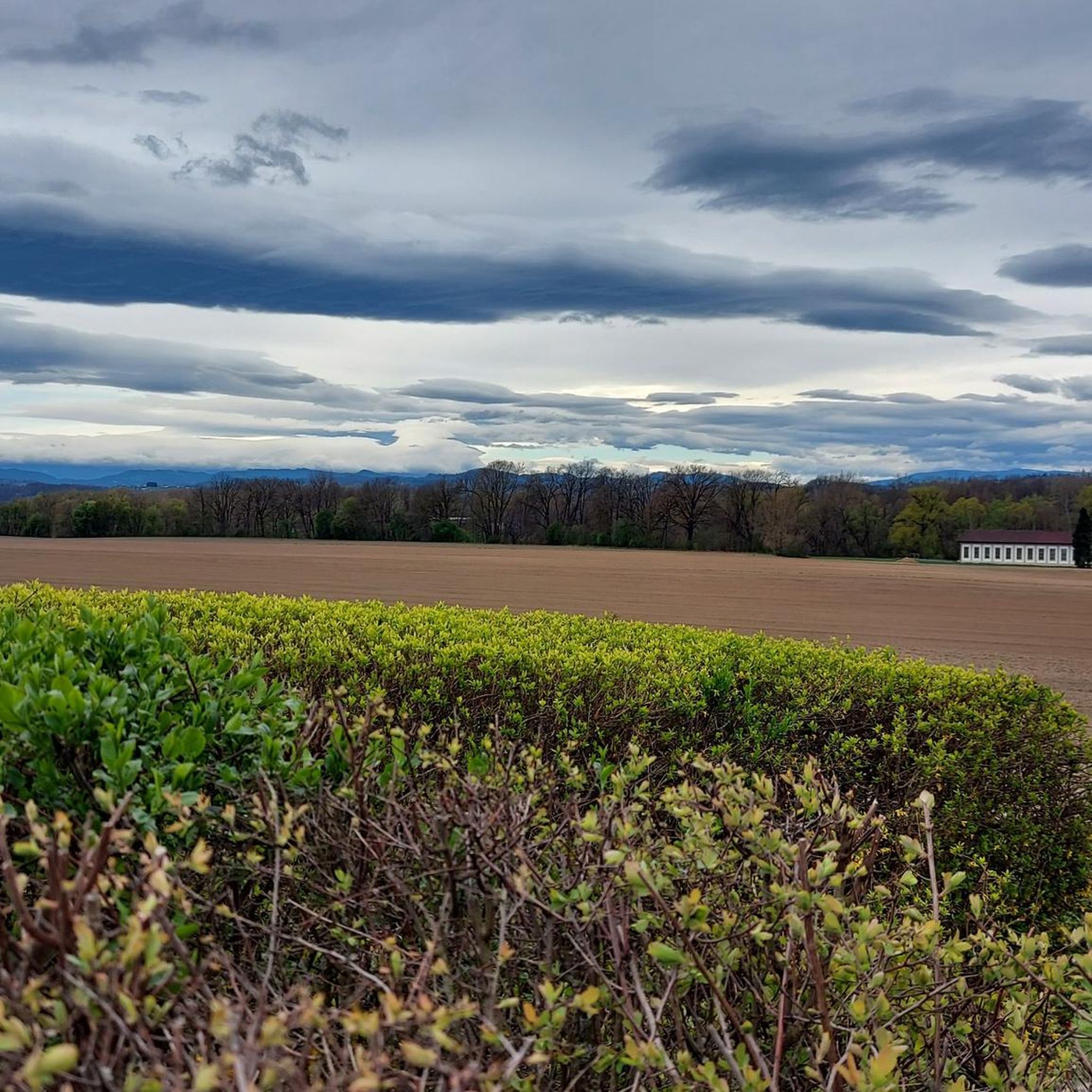
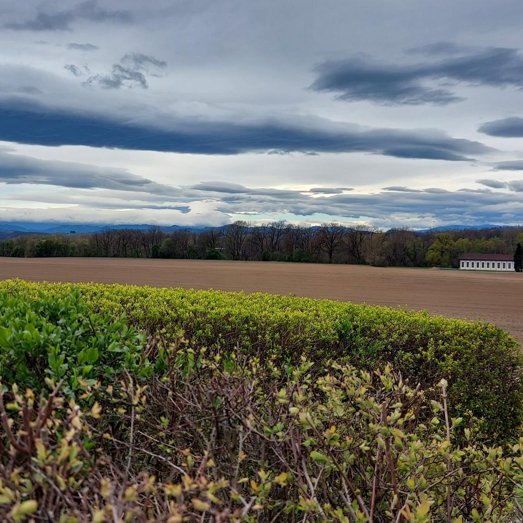
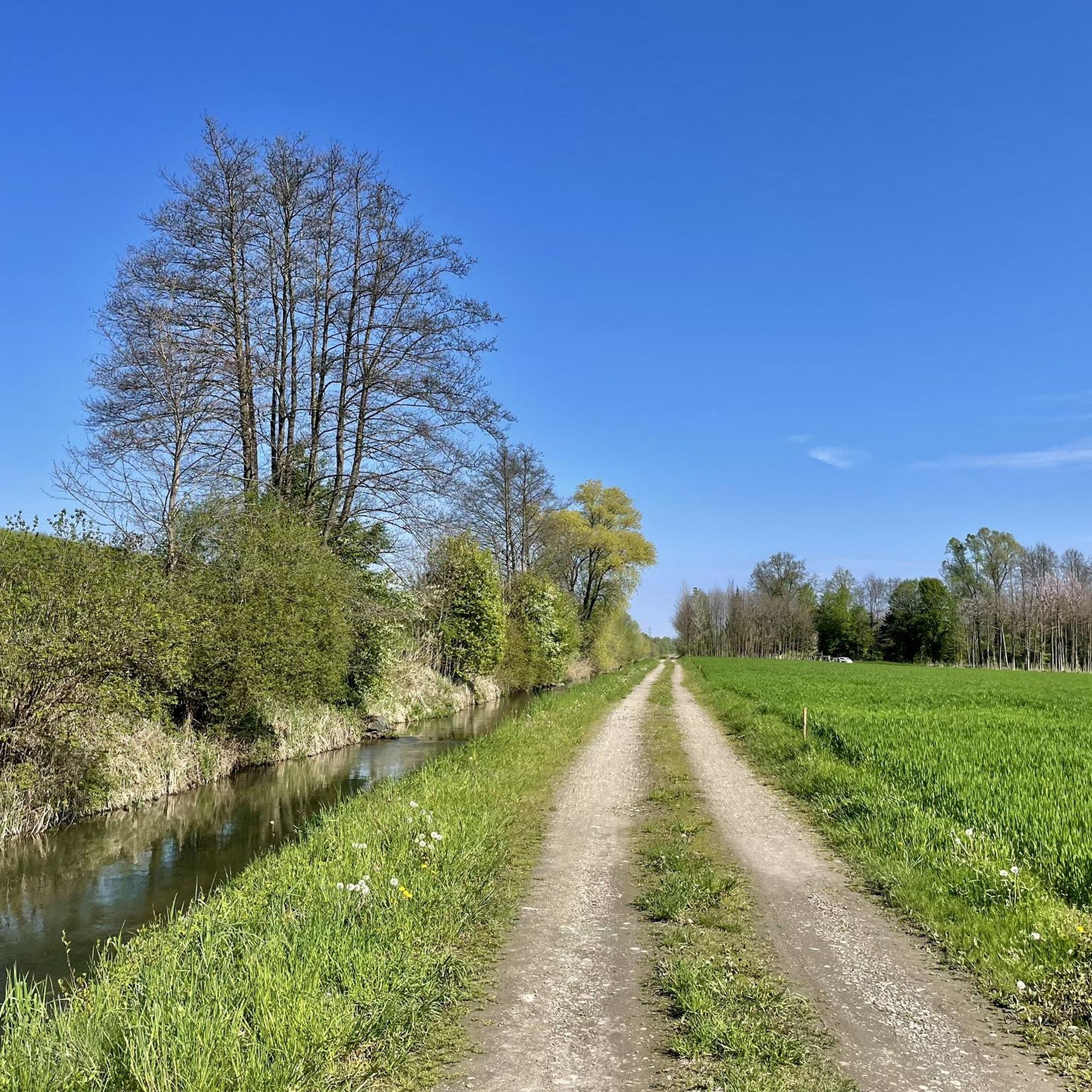
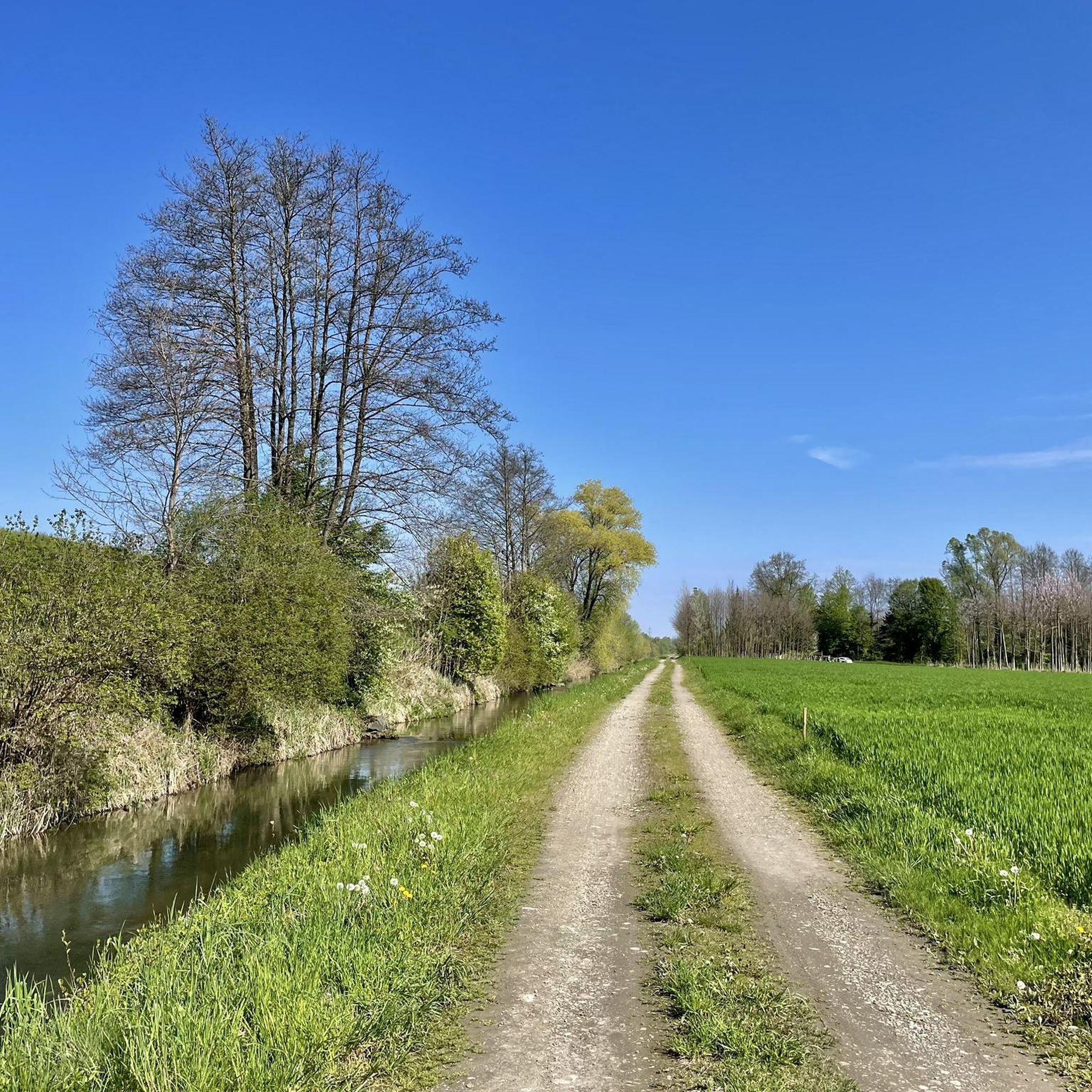
Tips from the Community

Great church tower with many onions
0
0


The MurRadWeg R2 leads, as the name suggests, along the Mur river. There are repeatedly good spots for beautiful photos.
1
0


Ehrenhausen is a quite nice town with a beautiful town center.
1
1

Great small town center. Unfortunately, the through traffic is almost unbearable.
1
0
Frequently Asked Questions
How many hiking trails are available around Gabersdorf?
Gabersdorf offers a wide selection of hiking opportunities, with over 600 routes to explore. These range from easy strolls through the countryside to more challenging paths across the rolling hills.
What kind of terrain can I expect on hikes in Gabersdorf?
The Gabersdorf region is characterized by rolling hills and green forests, providing a diverse landscape for hikers. You'll find serene forest trails, riparian ecosystems along the Stiefing River, and paths leading to panoramic viewpoints like Schlossberg Hill. The terrain varies from gentle, easily accessible paths to routes with significant elevation changes.
Are there any easy hiking trails suitable for beginners or leisurely walks?
Yes, Gabersdorf has plenty of easy trails. For instance, the Roman Museum – Roman Cycle Path (R6) loop from Leibnitz is an easy 4.5 km route that takes just over an hour, offering gentle terrain suitable for a relaxed walk.
What do other hikers say about the trails in Gabersdorf?
The hiking trails around Gabersdorf are highly regarded by the komoot community, holding an average rating of 4.5 stars from over 2,000 reviews. Hikers often praise the quiet woodlands, varied scenery, and well-maintained paths that make exploring the region a pleasure.
Are there any circular hiking routes in the area?
Many routes in Gabersdorf are designed as loops, allowing you to start and end at the same point. An example is the Hiking loop from Wagna, a 6.5 km trail that guides you through the local countryside.
Can I find trails suitable for families with children?
Yes, Gabersdorf offers trails that are suitable for families. Many of the easy routes with minimal elevation gain, often lasting up to two hours, are perfect for walks with children. These paths allow families to enjoy the natural surroundings and local wildlife.
Are dogs allowed on the hiking trails in Gabersdorf?
Generally, dogs are welcome on hiking trails in Gabersdorf. However, it's always advisable to keep them on a leash, especially in forested areas where wildlife like deer may be present, and to respect local regulations or signage. Ensure you carry water for your dog, particularly on longer routes.
What natural attractions or landmarks can I see while hiking?
While hiking in Gabersdorf, you can encounter various natural features and landmarks. The Gabersdorf Woods offer serene environments, and the Stiefing River showcases riparian ecosystems. For panoramic views, consider a hike towards Schlossberg Hill. Additionally, you might spot highlights such as Lubekogel or the Kreuzbergwarte Observation Tower in the broader region.
Are there any lakes or water features accessible from hiking trails?
Yes, the region around Gabersdorf features several lakes and water bodies. You might find trails leading to or near places like Lake Sulm or the Lily pond in Aupark Vogau, offering pleasant spots for a break or birdwatching, such as at the Birdwatching spot at the reservoir.
What is the best time of year to go hiking in Gabersdorf?
Gabersdorf offers hiking opportunities throughout much of the year. Spring brings the bloom of wild garlic along the Stiefing River, while summer provides lush green forests. Autumn showcases vibrant foliage, and even winter can offer peaceful, snow-dusted trails, though some routes might require more appropriate gear.
Are there any moderate difficulty trails for more experienced hikers?
Yes, for those seeking a bit more challenge, there are moderate trails available. An example is the Monument to the Stifter siblings – View of Ehrenhausen loop from Wagna, a 10.8 km path that offers varied scenery across rolling hills and takes approximately 2 hours 44 minutes to complete.
Where can I find parking for hiking trails in Gabersdorf?
Parking is generally available near trailheads and popular starting points in and around Gabersdorf. Specific parking information can often be found on individual route descriptions on komoot, or by checking local signage in villages like Wagna or Leibnitz, which serve as common starting points for many hikes.
Most popular attractions around Gabersdorf

Get inspired with the komoot mobile app


Explore more
Browse the best Hikes in other regions.
