The best walks and hikes around Fusch an der Großglocknerstraße
4.5
(17324)
93,003
hikers
77
hikes
Hiking trails around Fusch an der Großglocknerstraße are situated within the Hohe Tauern National Park, offering a diverse alpine landscape. The region is characterized by high mountain scenery, including numerous peaks, valleys like Fuschertal, and prominent water features such as mountain streams and waterfalls. The Großglockner High Alpine Road provides access to higher elevations and panoramic viewpoints.
Best hiking trails around Fusch an der Großglocknerstraße
- The most popular hiking route is Bruck/Fusch: Up the Schwarzkopf - Hohe Tauern National Park, a 14.2 miles (22.8 km) trail that takes 11 hours 27 minutes to complete, ascending through high alpine terrain.
- Another top favourite among local hikers is Walcher Alm Waterfall Experience – Walcher Hochalm loop from Ferleiten, a moderate 5.1 miles (8.2 km) path. This route features a waterfall experience and views of alpine pastures.
- Local hikers also love the View of the waterfall – Trauneralm loop from Ferleiten, a 8.7 miles (14.0 km) trail leading through the Fuschertal Valley, often completed in about 4 hours 6 minutes.
- Hiking around Fusch an der Großglocknerstraße is defined by high mountain scenery, alpine pastures, and numerous waterfalls. The network offers options for various ability levels, from valley walks to challenging high-alpine ascents.
- The routes in Fusch an der Großglocknerstraße are highly rated by the komoot community with an average score of 4.5 stars from over 2,400 reviews. More than 15,000 hikers have used komoot to explore Fusch an der Großglocknerstraße's varied terrain.
Last updated: August 8, 2026
5.0
(2)
31
hikers
22.8km
11:27
1,870m
1,870m
Hard hike. Very good fitness required. Sure-footedness, sturdy shoes and alpine experience required.
4.8
(180)
858
hikers
8.26km
03:29
700m
700m
Moderate hike. Good fitness required. Easily-accessible paths. Suitable for all skill levels.

Sign up for free
4.7
(53)
240
hikers
14.0km
04:06
380m
380m
Moderate hike. Good fitness required. Easily-accessible paths. Suitable for all skill levels.
4.6
(9)
145
hikers
Moderate hike. Great for any fitness level. Mostly accessible paths. Sure-footedness required.
4.5
(28)
152
hikers
Moderate hike. Good fitness required. Easily-accessible paths. Suitable for all skill levels.
Get access to more routes and recommendations from other explorers.
Sign up for free
Already have an account?
Our route recommendations are based on thousands of hikes, rides, and runs completed by other people on komoot.
Start today with a free account
Your next adventure awaits.
Login or Signup
Popular around Fusch an der Großglocknerstraße
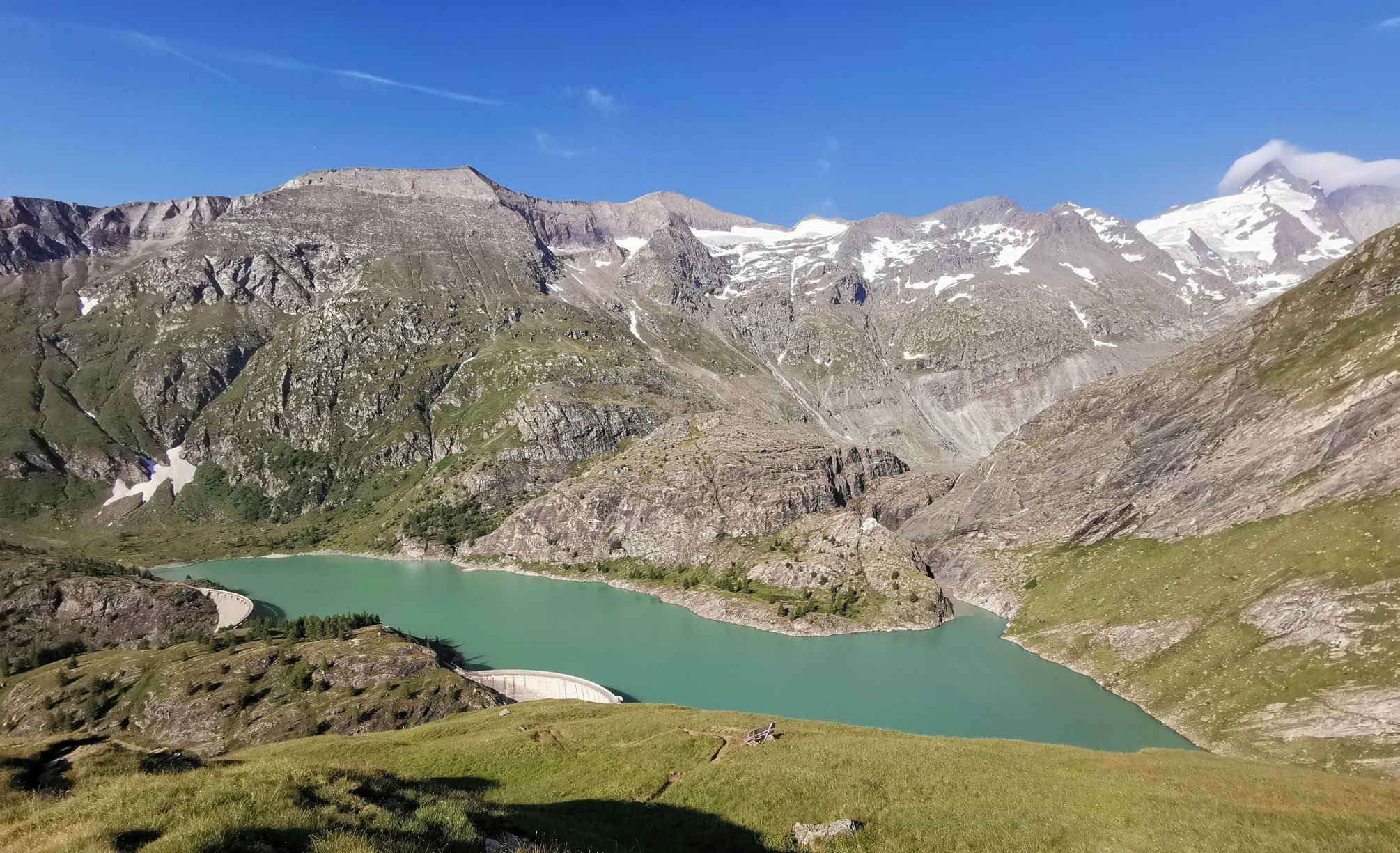
The Grossglockner – Circumnavigate Austria's highest mountain
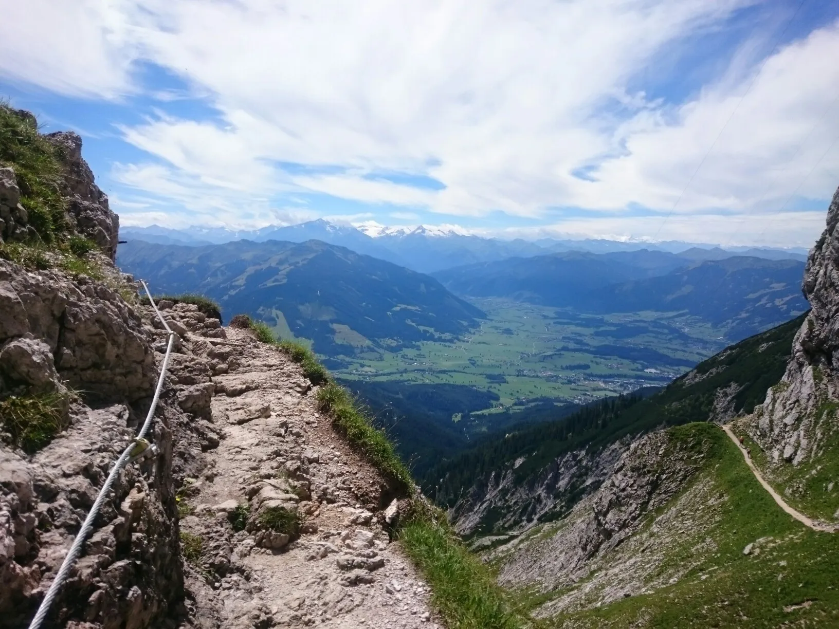
Alpine Crossing — 9 days across the Alps to Lienz
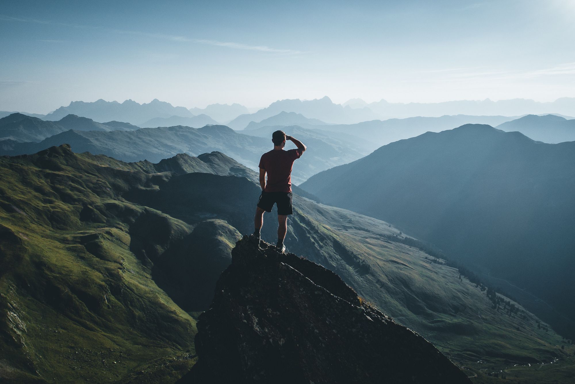
On a voyage of discovery in Austria’s High Tauern National Park
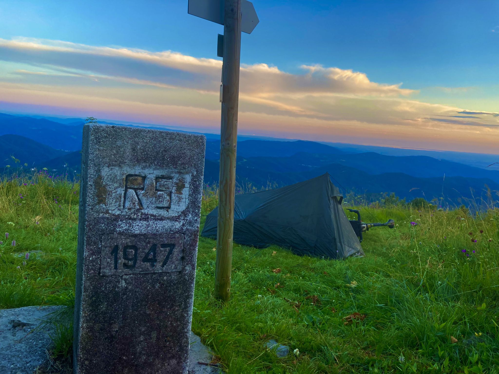
From Bavaria to the Adriatic - My Bikepacking Adventure to Croatia 2023
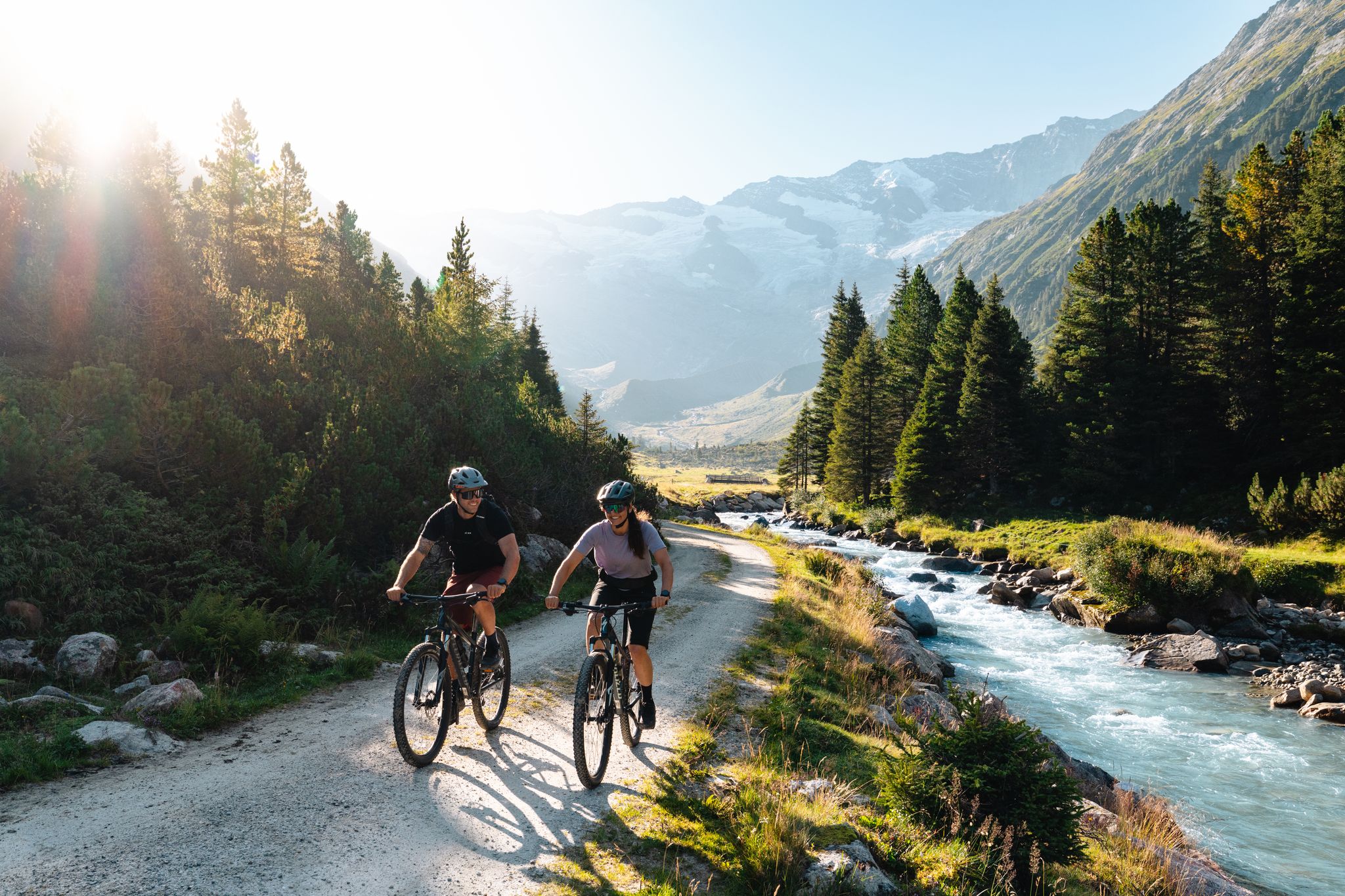
14 stages through the national park valleys – Hohe Tauern Bike Trail
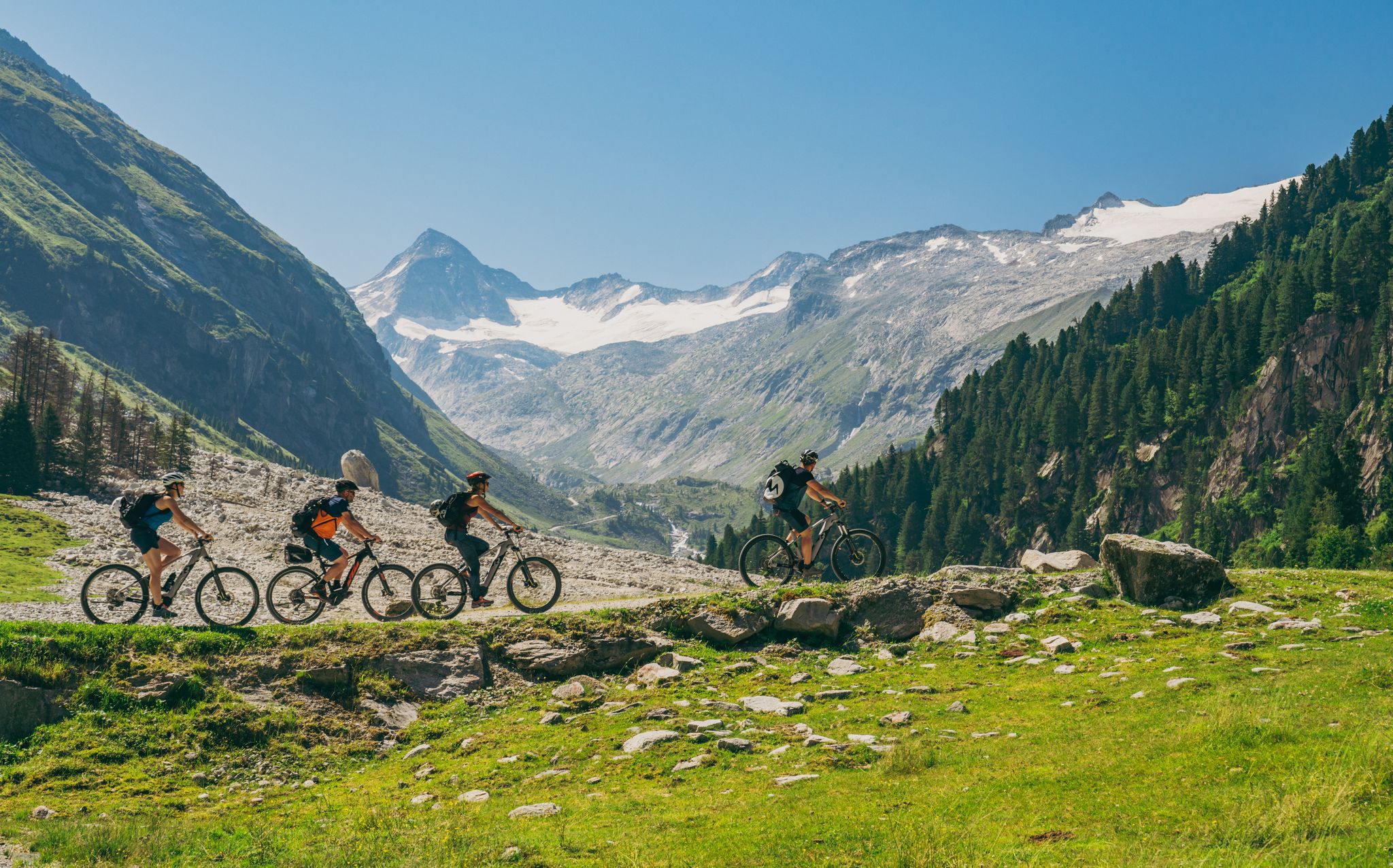
Ride to the alpine pastures in Austria's Hohe Tauern National Park Region
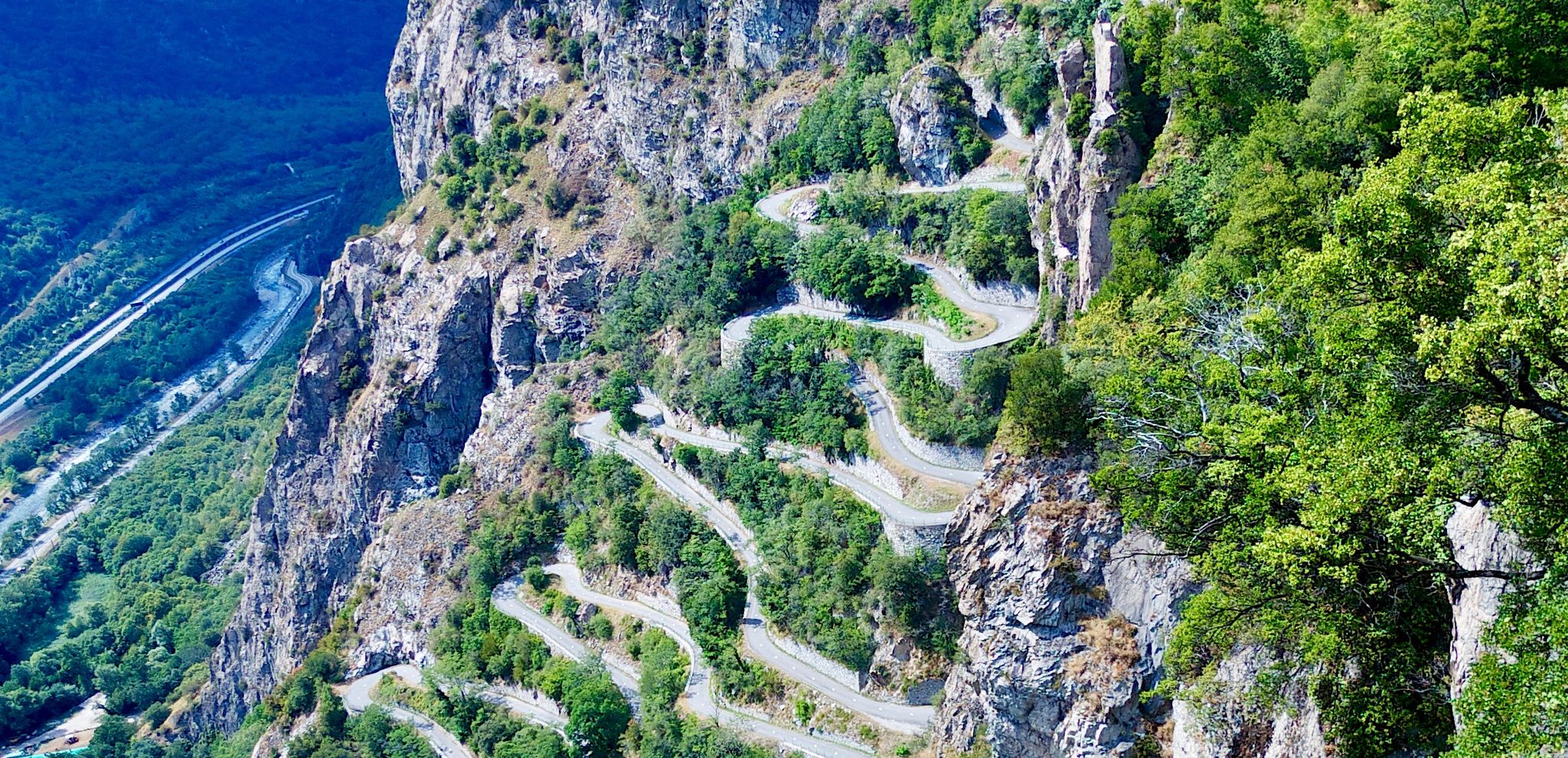
The world's most epic cycling roads
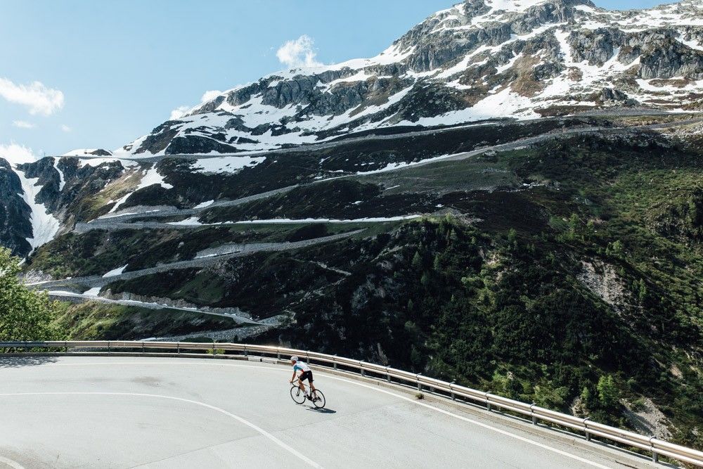
Off to the clouds on slick asphalt
Cycling around Fusch an der Großglocknerstraße
MTB Trails around Fusch an der Großglocknerstraße
Other adventures around Fusch an der Großglocknerstraße


Tips from the Community

Perfect for a break
0
0


It's quite steep, but the view is worth it! Climb a little higher, and you'll get an even closer look at the waterfall! And with a bit of luck, you might even run into fellow hikers in the summer ;) 🐮
1
0

Non-Krimmler Waterfall Position
0
0


whoever stops there should definitely try the Kaiserschmarrn
0
0

A small cave behind the waterfall offers a magnificent view through the waterfall into the valley below. A steep path with a via ferrata (secured by a wire rope) leads there.
0
0
Frequently Asked Questions
How many hiking trails are available in Fusch an der Großglocknerstraße?
Fusch an der Großglocknerstraße offers a wide variety of hiking experiences, with over 80 trails available. These range from easy valley walks to challenging high-alpine ascents within the Hohe Tauern National Park.
What is the best time of year for hiking in Fusch an der Großglocknerstraße?
The best time for hiking in Fusch an der Großglocknerstraße is generally from late spring to early autumn (May to October). During these months, the weather is most favorable, and the trails are typically free of snow, allowing access to the diverse alpine landscapes and higher elevations of the Hohe Tauern National Park.
Are there any family-friendly hiking trails in the Fusch an der Großglocknerstraße region?
Yes, the region offers several family-friendly options. For instance, hiking in the Käfertal is suitable for buggies, and the 'Wasserfallweg' is designed for kids and parents. These trails provide easier walks through scenic areas, often with natural attractions like waterfalls.
Can I bring my dog on the hiking trails in Fusch an der Großglocknerstraße?
Many trails in Fusch an der Großglocknerstraße are dog-friendly, but it's always recommended to keep dogs on a leash, especially within the Hohe Tauern National Park, to protect wildlife and livestock. Be sure to check specific trail regulations before you go.
Are there any circular hiking routes in Fusch an der Großglocknerstraße?
Yes, there are several circular routes available. One popular option is the Walcher Alm Waterfall Experience – Walcher Hochalm loop from Ferleiten, which is a moderate 8.2 km path featuring a waterfall and alpine pastures. Another is the View of the waterfall – Trauneralm loop from Ferleiten, a 14 km trail through the Fuschertal Valley.
Are there trails that feature waterfalls in Fusch an der Großglocknerstraße?
Water is a defining element of the Fusch landscape, and several trails lead to impressive waterfalls. The Walcher Alm Waterfall Experience – Bridge over the Walcher Bach loop from Ferleiten is a moderate 5.5 km route that allows you to experience the Walcher Alm Waterfall. The adventure waterfall trail near Ferleiten also offers a rewarding climb to a waterfall.
What are some challenging hiking options in Fusch an der Großglocknerstraße?
For experienced hikers seeking a challenge, the region offers demanding high-alpine routes. An example is the Bruck/Fusch: Up the Schwarzkopf - Hohe Tauern National Park, a difficult 22.8 km trail with significant elevation gain, requiring very good fitness. Higher peaks like Imbachhorn (2,470 m) also provide strenuous mountain tours.
What do other hikers enjoy most about hiking in Fusch an der Großglocknerstraße?
The area is highly rated by the komoot community, with an average score of 4.5 stars from over 2,400 reviews. Hikers often praise the stunning alpine scenery, the diverse range of trails for all abilities, and the unique natural features like waterfalls and mountain streams within the Hohe Tauern National Park.
Are there any notable landmarks or attractions to see while hiking?
Yes, the region is rich in natural and historical attractions. You can explore the Sigmund Thun Gorge or the Kitzlochklamm Gorge. The Großglockner High Alpine Road itself offers breathtaking views, and areas like the Edelweißspitze provide incredible vistas. You can also visit Bad Fusch, a former spa town known for its natural springs and Kneipp facilities.
Is there parking available for hikers in Fusch an der Großglocknerstraße?
Yes, parking is generally available at popular trailheads and starting points throughout the Fusch an der Großglocknerstraße region, especially near access points to the Hohe Tauern National Park and along the Großglockner High Alpine Road. Specific parking information can often be found on local signage or within individual route descriptions.
Can I access hiking trails in Fusch an der Großglocknerstraße using public transport?
Fusch an der Großglocknerstraße is well-connected by public transport, making it possible to access many hiking trails without a car. Local bus services operate within the Fuschertal Valley and connect to surrounding areas, providing convenient access to various starting points for hikes.
Are there mountain huts or places to eat along the trails?
Yes, hikers can find mountain huts (Almhütten) along many trails, especially on routes leading over alpine pastures. Huts like the Schwarzenberghütte and Gleiwitzer Hütte serve as bases for further tours and often offer refreshments or meals. Bad Fusch also provides options for day trips with its Kneipp facilities and natural springs.
Most popular routes around Fusch an der Großglocknerstraße
Most popular attractions around Fusch an der Großglocknerstraße

Get inspired with the komoot mobile app


Explore more
Browse the best Hikes in other regions.
