The best road cycling routes around Marmeleira
4.8
(6)
353
riders
27
rides
Road cycling around Marmeleira offers diverse terrain characterized by rolling hills and lush greenery, providing varied inclines and descents for cyclists. The region's tranquil environment features picturesque landscapes, including the biodiverse Paúl de Manique do Intendente. This area provides a compelling backdrop for exploration, with routes passing through rural settings and offering scenic views. The topography is well-suited for road cycling, combining challenging ascents with enjoyable descents.
Best road cycling routes around Marmeleira
- The most popular road cycling route is…
Last updated: May 21, 2026
4.0
(1)
30
riders
63.8km
03:00
800m
800m
Moderate road ride. Good fitness required. Mostly well-paved surfaces and easy to ride.
28
riders
81.7km
04:04
1,160m
1,160m
Hard road ride. Very good fitness required. Some segments of this route may be unpaved and difficult to ride.

Sign up for free
30
riders
101km
05:31
1,930m
1,930m
Hard road ride. Very good fitness required. Some segments of this route may be unpaved and difficult to ride.
21
riders
64.3km
03:13
990m
990m
Hard road ride. Very good fitness required. Mostly well-paved surfaces and easy to ride.
19
riders
63.9km
03:15
1,030m
1,030m
Hard road ride. Very good fitness required. Mostly well-paved surfaces and easy to ride.
Get access to more routes and recommendations from other explorers.
Sign up for free
Already have an account?
Our route recommendations are based on thousands of hikes, rides, and runs completed by other people on komoot.
Start today with a free account
Your next adventure awaits.
Login or Signup


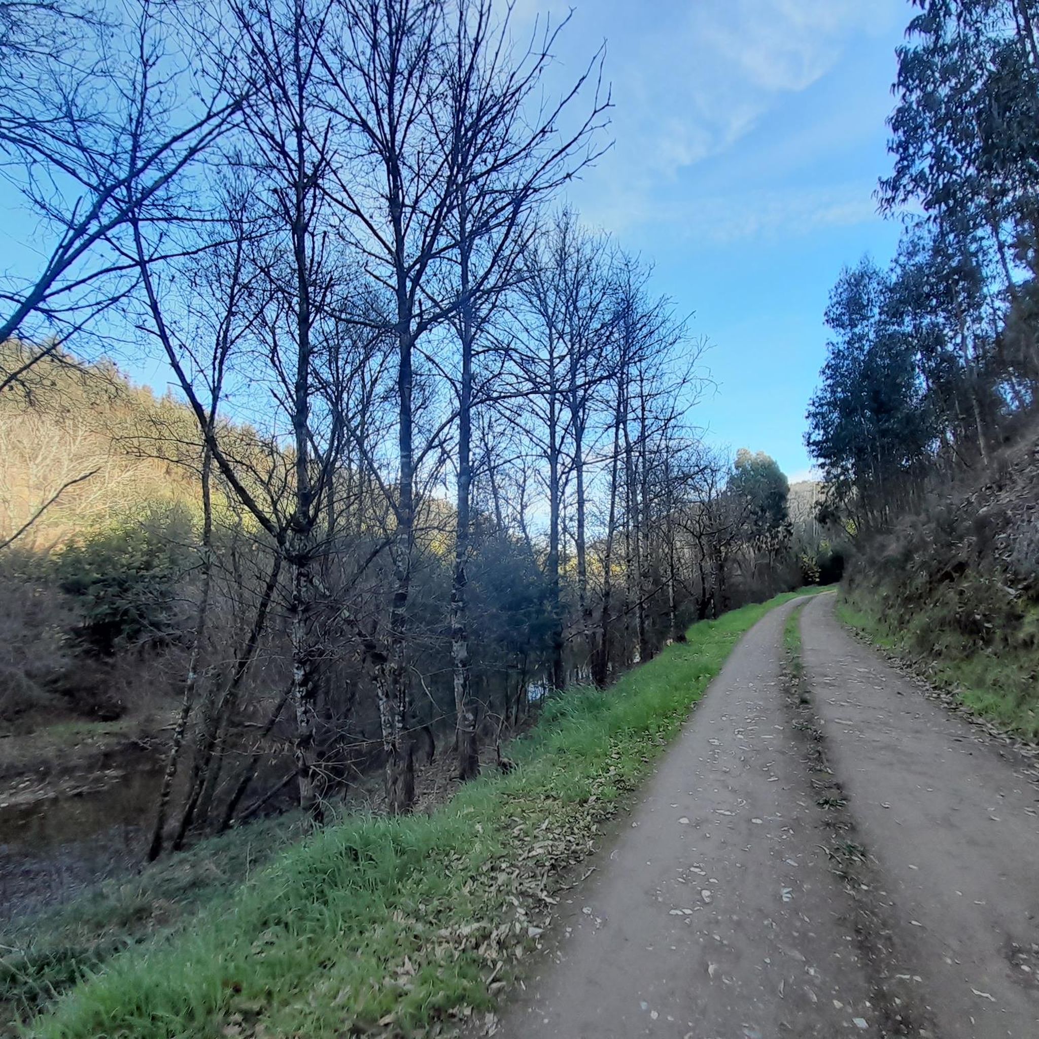
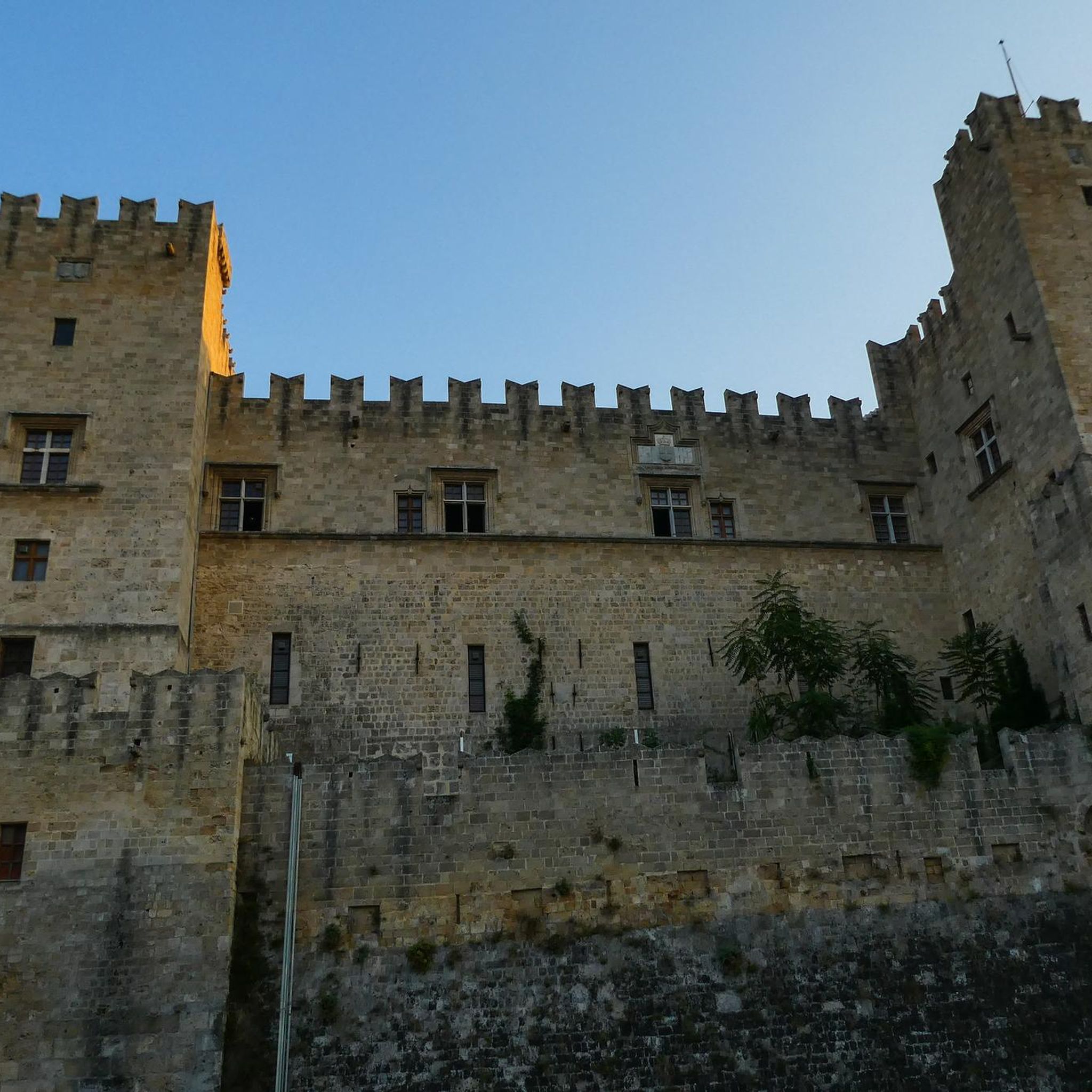
Tips from the Community

origin and destination point of the Bussaco forest
1
0

A place of passage, for other tours, a very beautiful hike along the river just at Mortágua (parque verde)
0
0

Bring own fuel as there are few places to refuel if you've come far - but well worth it!
1
0

Ribeira de Montágua begins in the village of the same name, Montágua, and flows into the Mondego River. Next to the bridge is a small river beach.
0
0
The Aguieira Dam, also known as the Foz do Dão Dam, located on the Mondego River between Penacova and Mortágua, was started in 1973 and inaugurated in 1981. At 89 meters high, it is a multiple arch dam used for hydroelectric production, irrigation , flood control and recreation. Its reservoir has submerged local villages and supplies water to Coimbra and neighboring municipalities.
0
0
Viewpoint in front of a rock formation known as Livraria do Mondego. Just stop here for a few moments to understand why: it resembles books on a shelf. Place of contemplation and peace.
1
0
São João do Monte River Beach, also known as Paraíso River Beach, is a calm and great place to spend the day by the river. It offers infrastructure such as a bar, snacks and bathrooms, as well as a historic Romanesque bridge.
0
0
The Aguieira Dam, also known as the Foz do Dão Dam, located on the Mondego River between Penacova and Mortágua, was started in 1973 and inaugurated in 1981. At 89 meters high, it is a multiple arch dam used for hydroelectric production, irrigation , flood control and recreation. Its reservoir has submerged local villages and supplies water to Coimbra and neighboring municipalities.
0
0
Frequently Asked Questions
How many road cycling routes are available around Marmeleira?
There are 27 road cycling routes around Marmeleira listed on komoot. These routes offer diverse terrain for cyclists to explore.
What is the typical difficulty level of road cycling routes in Marmeleira?
Road cycling routes in Marmeleira generally range from moderate to difficult. There are 17 moderate routes and 10 difficult routes, offering varied challenges for different skill levels. For example, the Livraria do Mondego Viewpoint – Palheiros River Beach loop from Mortágua is a difficult path with challenging climbs.
What kind of terrain can I expect when road cycling near Marmeleira?
The region around Marmeleira is characterized by rolling hills and lush greenery, providing varied inclines and descents. You can expect picturesque landscapes and tranquil rural settings, making for a rewarding visual experience.
Are there circular road cycling routes available in Marmeleira?
Yes, many of the road cycling routes around Marmeleira are designed as loops. For instance, the popular Estrada do Caramulinho – Fonte da Sereia loop from Mortágua and the Ribeira de Mortágua – Estrada do Caramulinho loop from Mortágua are both circular routes.
What landmarks or points of interest can I see along the road cycling routes?
While cycling, you can encounter several interesting landmarks and natural features. Notable attractions include the Buçaco Palace Hotel, the Barragem da Aguieira, and the Fonte Fria. The region also features historical sites like the Roman Bridge of Almoster and the unfinished Pina Manique Palace.
Are there scenic viewpoints accessible by road bike in Marmeleira?
Yes, the area offers several scenic viewpoints. You can cycle to the Cruz Alta Viewpoint or the Livraria do Mondego Viewpoint, both offering panoramic vistas of the surrounding landscapes.
What natural features can I explore while road cycling in Marmeleira?
Beyond the rolling hills and lush greenery, the region is home to the biodiverse Paúl de Manique do Intendente, a significant natural highlight known for its rich avifauna. You can also find natural monuments like Vale das Feteiras and Fonte das Águas Mansas.
What do other road cyclists enjoy most about road cycling in Marmeleira?
The road cycling routes around Marmeleira are highly rated by the komoot community, with an average score of 4.75 stars from over 6 reviews. Cyclists often praise the tranquil rural settings, diverse landscapes, and the combination of challenging ascents and enjoyable descents.
Are there any family-friendly road bike routes in Marmeleira?
The road cycling routes in Marmeleira are generally categorized as moderate to difficult, with no routes specifically listed as easy. This suggests that most routes might be more suitable for experienced cyclists or families with older, more capable riders.
What is the best time of year to go road cycling in Marmeleira?
Marmeleira's tranquil environment and picturesque landscapes make it suitable for road cycling throughout much of the year. The rolling hills provide both challenging ascents and enjoyable descents amidst scenic views, making it a pleasant experience in various seasons, though specific seasonal recommendations are not available.
Is there parking available for cyclists in Marmeleira?
While specific parking areas for cyclists are not detailed, Marmeleira is a charming village with a tranquil environment. It is likely that general parking options are available within the village or at popular starting points for routes, though it's advisable to check local signage upon arrival.
Most popular routes around Marmeleira
Most popular attractions around Marmeleira

Get inspired with the komoot mobile app


Explore more
Browse the best Road cycling routes in other regions.
