The best walks and hikes around Valadares
4.7
(74)
353
hikers
26
hikes
Hiking around Valadares offers diverse natural landscapes within the Minas Gerais state of Brazil. The region is characterized by hilly and rocky terrain, providing varied topography for exploration. The Rio Doce flows through the area, contributing to picturesque scenery and opportunities for riverside walks. Prominent features include Pico da Ibituruna, a towering peak offering panoramic views, and the tranquil Parque Natural Municipal.
Best hiking trails around Valadares
- The most popular hiking route is Hiking loop from Porcelhe, a 6.6…
Last updated: October 31, 2026
4.8
(4)
35
hikers
10.6km
03:05
290m
290m
Moderate hike. Good fitness required. Easily walkable paths.
4.5
(4)
33
hikers
20.2km
05:48
480m
480m
Hard hike. Very good fitness required. Easily walkable paths.

4.5
(2)
14
hikers
7.71km
02:26
280m
280m
Moderate hike. Good fitness required. Easily walkable paths.
4.7
(3)
11
hikers
14.2km
04:12
410m
410m
Moderate hike. Good fitness required. Easily walkable paths.
4.8
(5)
13
hikers
8.58km
02:41
320m
320m
Moderate hike. Good fitness required. Easily walkable paths.
Get access to more routes and recommendations from other explorers.
Already have an account?
Our route recommendations are based on thousands of hikes, rides, and runs completed by other people on komoot.
Start today with a free account
Your next adventure awaits.
Tips from the Community

Very nice. Coming back.
0
0

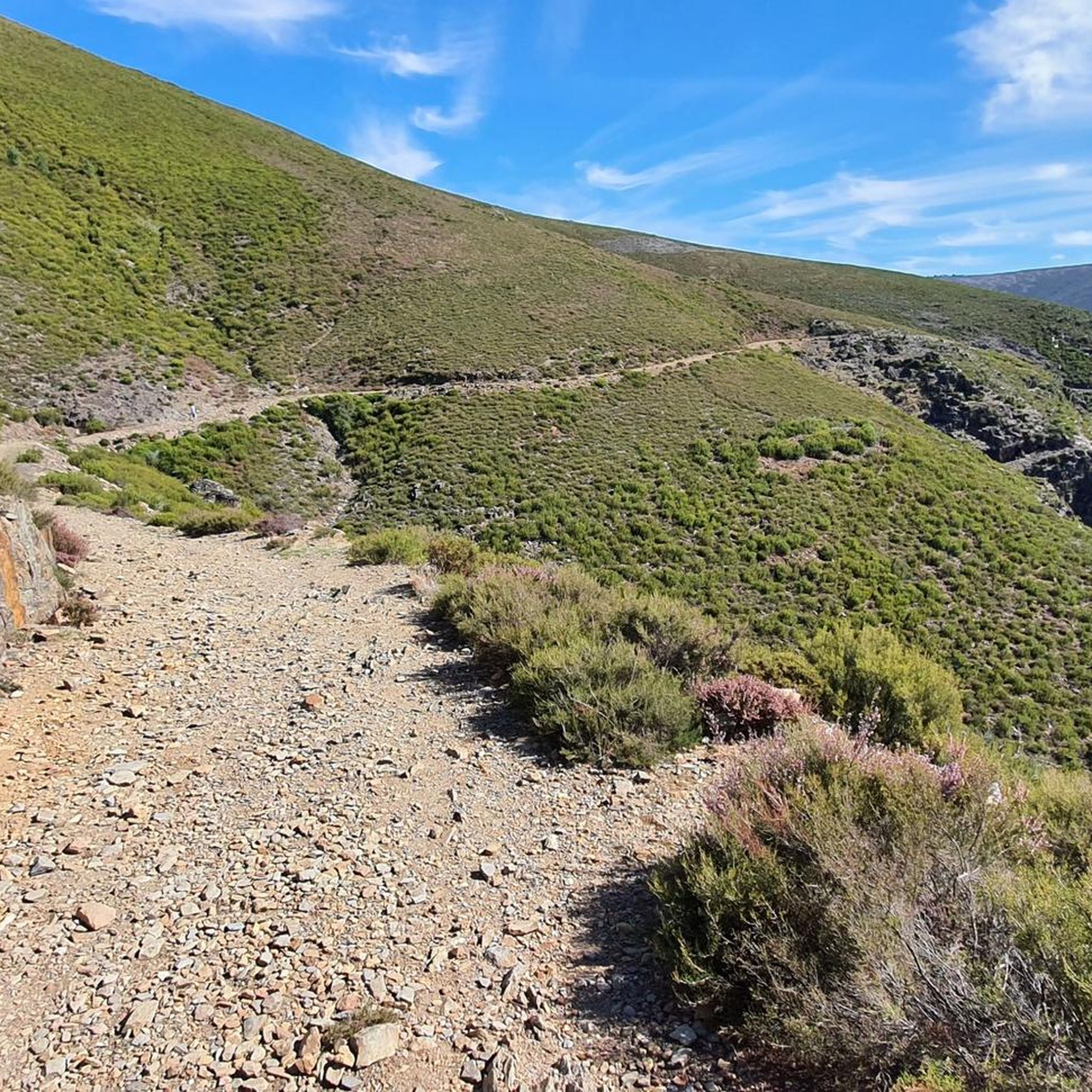
This trail winds its way along the base of Chãs, crossing dense forests. As it climbs, the oaks give way to pines, until the landscape transforms into an impressive chaos of granite blocks. Here, the scenery is magnificent and, on cold days, the beauty is accompanied by a biting wind. In this high-altitude area, it is common to come across the agile Arouquesa cows, always vigilant in the territory of the Iberian wolf and birds of prey, where nature never sleeps.
2
0
The Roman bridge of Manhouce, built between the 2nd century BC and the 1st century AD, was part of the grand Via Cale, the imperial road that linked Emérita Augusta (today Mérida) to Bracara (today Braga), passing through Viseu. Centuries later, this same route became the famous road of the muleteers, the itinerant merchants who, from the Middle Ages to the 20th century, forged links between peoples, cultures and territories, bringing stories and goods with them.
1
0
Gestosinho is one of those villages where time passes to the rhythm of tradition. Here, life remains faithful to its agricultural roots, cattle graze freely, the land is worked on the mountain terraces and water from the levadas continues to feed the fields. The stone houses, perfectly integrated into the mountain landscape, seem to have been part of the mountain since forever.
1
0

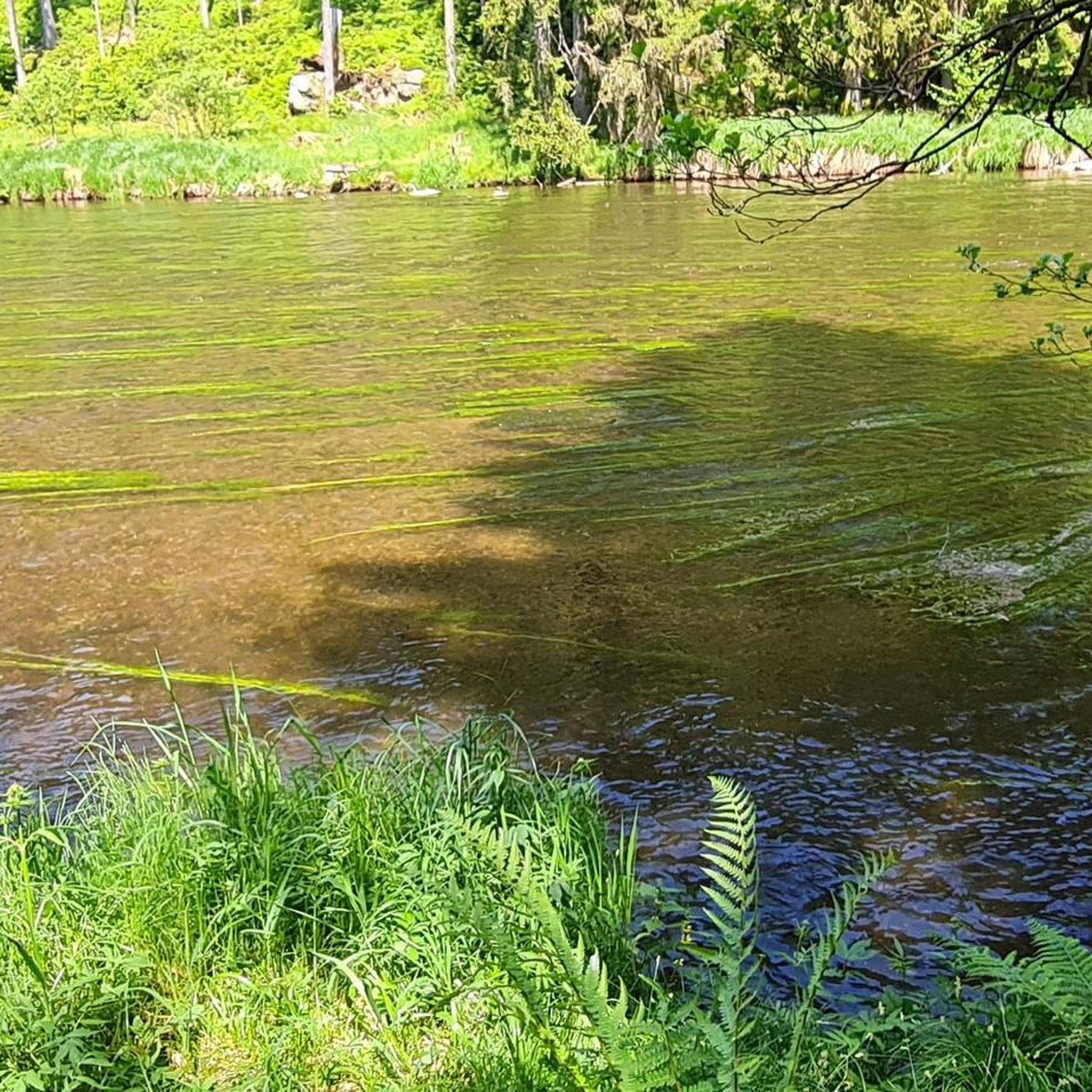
Beautiful waterfall with swimming hole
1
0
Frequently Asked Questions
How many hiking trails are available around Valadares?
There are over 25 hiking trails in the Valadares region, offering a variety of experiences for different skill levels. The komoot community has explored these routes over 270 times.
What kind of terrain can I expect on hikes around Valadares?
The Valadares region is characterized by hilly and rocky terrain, providing varied topography. You'll find paths that wind through natural landscapes, offering both challenging ascents and scenic descents. The area is part of Minas Gerais, known for its diverse biomes and natural beauty.
Are there any easy hiking options for beginners or families in Valadares?
Yes, while many routes are moderate to difficult, there are easy options available. For instance, the region offers at least one easy trail, and several moderate routes like the Incas Trail loop from Candal (4.8 miles / 7.7 km) are suitable for those looking for a less strenuous experience.
What are the most prominent natural features or landmarks to see while hiking?
The most iconic natural landmark is Pico da Ibituruna, offering breathtaking panoramic views. The Rio Doce also flows through the region, providing picturesque scenery for riverside walks. Additionally, you can explore the tranquil Parque Natural Municipal. For specific points of interest, consider visiting Pico do Gralheiro or the Cobblestone Path of the Serras da Freita e Arada.
Are there circular hiking routes available in Valadares?
Yes, many of the trails around Valadares are designed as loops, allowing you to start and end at the same point. Examples include the popular Hiking loop from Porcelhe and the more challenging Hiking loop from Arcozelo das Maias.
What do other hikers say about the trails in Valadares?
The trails in Valadares are highly regarded by the komoot community, holding an average rating of 4.7 out of 5 stars from nearly 50 reviews. Hikers often praise the varied terrain and the scenic beauty of the region, particularly the views from prominent peaks and along the Rio Doce.
Can I bring my dog on the hiking trails in Valadares?
While specific regulations for each trail may vary, many natural areas in Brazil, including those suitable for hiking, are generally dog-friendly. It's always recommended to keep your dog on a leash and ensure they are well-behaved to respect wildlife and other hikers.
What is the typical duration for hikes in this area?
Hike durations vary significantly depending on the route's length and difficulty. For example, a moderate trail like the Hiking loop from Porcelhe typically takes around 3 hours 5 minutes, while a more difficult and longer path such as the Hiking loop from Arcozelo das Maias can take nearly 6 hours.
Are there any interesting villages or settlements near the hiking routes?
Yes, the region features charming villages and settlements that can be explored. For instance, you might encounter Felgueira Village or Espindelo, which offer a glimpse into local life and culture. Some trails, like the Beautiful trail between villages – Gestosinho loop from Manhouce, specifically connect different communities.
What is the best season for hiking in Valadares?
The region's climate, influenced by its location in Minas Gerais, generally offers good hiking conditions for much of the year. However, the central and eastern areas of Minas Gerais can experience distinct wet and dry seasons. For the most comfortable hiking, consider visiting during the drier, cooler months to avoid heavy rains and high humidity, which typically occur in the summer.
Is parking available at the trailheads?
While specific parking information for each trailhead is best checked on individual route pages, many popular hiking areas in Brazil, especially those near towns or natural parks, typically offer designated parking facilities. It's advisable to plan your route in advance and look for parking details provided by komoot users or local authorities.
Are there any historical or cultural sites along the trails?
Beyond natural beauty, the region also has points of historical interest. For example, you might come across sites like Cedrim Station, which can add a cultural dimension to your hike. Exploring the local villages also provides insight into the area's heritage.
Most popular attractions around Valadares

Get inspired with the komoot mobile app


Explore more
Browse the best Hikes in other regions.
