The best road cycling routes around Sabugosa
4.5
(9)
362
riders
53
rides
Road cycling around Sabugosa, Portugal, features a varied topography with routes that include significant elevation changes, indicating an undulating landscape suitable for challenging rides. The region's road cycling routes traverse diverse terrain, from moderate ascents to more demanding climbs. Distances vary, offering options for both shorter excursions and longer, more enduring journeys. The area provides a network of roads that cater to different skill levels, allowing road cyclists to explore the local environment.
Best road cycling routes around Sabugosa
- The…
Last updated: May 20, 2026
4.5
(2)
33
riders
63.1km
02:58
810m
810m
Moderate road ride. Good fitness required. Mostly well-paved surfaces and easy to ride.
19
riders
64.0km
03:01
760m
760m
Moderate road ride. Good fitness required. Mostly well-paved surfaces and easy to ride.

Sign up for free
12
riders
116km
05:57
1,980m
1,980m
Hard road ride. Very good fitness required. Mostly well-paved surfaces and easy to ride.
10
riders
Hard road ride. Very good fitness required. Some segments of this route may be unpaved and difficult to ride.
10
riders
39.0km
01:56
510m
510m
Moderate road ride. Good fitness required. Mostly well-paved surfaces and easy to ride.
Get access to more routes and recommendations from other explorers.
Sign up for free
Already have an account?
Our route recommendations are based on thousands of hikes, rides, and runs completed by other people on komoot.
Start today with a free account
Your next adventure awaits.
Login or Signup
Popular around Sabugosa

Tips from the Community

Coffee as needed
1
0
Another beautiful ride along the eco-trail
0
0
Very good route for nature lovers with little traffic
0
0

Great place to take a break
2
0

Tondela is located approximately halfway along the Ecopista, which runs for almost 50 km between Viseu and Santa Comba Dão. The section of the Ecopista that passes through the municipality of Tondela is characterized by green asphalt, distinguishing it from the other sections. The old Tondela station is a fascinating element of the Ecopista do Dão, a reminder of the region's railway history.
1
0

It all started in 2012, with a simple idea that became an international success. The idea came about as part of a renowned local festival supported by the local authority, AgitÁgueda. Between music, performances and art, an unparalleled installation was created: “the project is called Umbrella Sky and is located mainly on Rua Luís de Camões in Águeda, its main street.
0
0
Frequently Asked Questions
How many road cycling routes are available around Sabugosa?
There are over 50 road cycling routes around Sabugosa, offering a variety of options for different skill levels and preferences.
What kind of terrain can I expect on road cycling routes in Sabugosa?
Road cycling around Sabugosa features a varied and undulating topography with significant elevation changes. You can expect routes with moderate ascents to more demanding climbs, traversing diverse rural landscapes.
Are there road cycling routes suitable for beginners in Sabugosa?
Yes, there are 8 easy road cycling routes around Sabugosa. These routes are generally shorter and have less demanding elevation profiles, making them suitable for those new to road cycling or looking for a more relaxed ride.
What are some challenging road cycling routes in Sabugosa?
For experienced cyclists seeking a challenge, there are 14 difficult routes. An example is the Ribeira de Ribamá – Igreja Matriz de Vouzela loop from Vilar de Besteiros, which is 72.1 miles (116.0 km) long with significant elevation gain, often taking nearly 6 hours to complete.
Are there circular road cycling routes available in Sabugosa?
Many of the road cycling routes in Sabugosa are designed as loops, allowing you to start and finish at the same point. For instance, the popular Fonte da Sereia – Pedra Talhada Viewpoint loop from Mosteiro de Fráguas is a circular route offering scenic views.
What do other cyclists say about road cycling in Sabugosa?
The road cycling routes in Sabugosa are highly rated by the komoot community, with an average score of 4.5 stars from over 9 reviews. Cyclists often praise the varied terrain and the opportunity to explore the local environment.
Are there any notable landmarks or attractions along the road cycling routes?
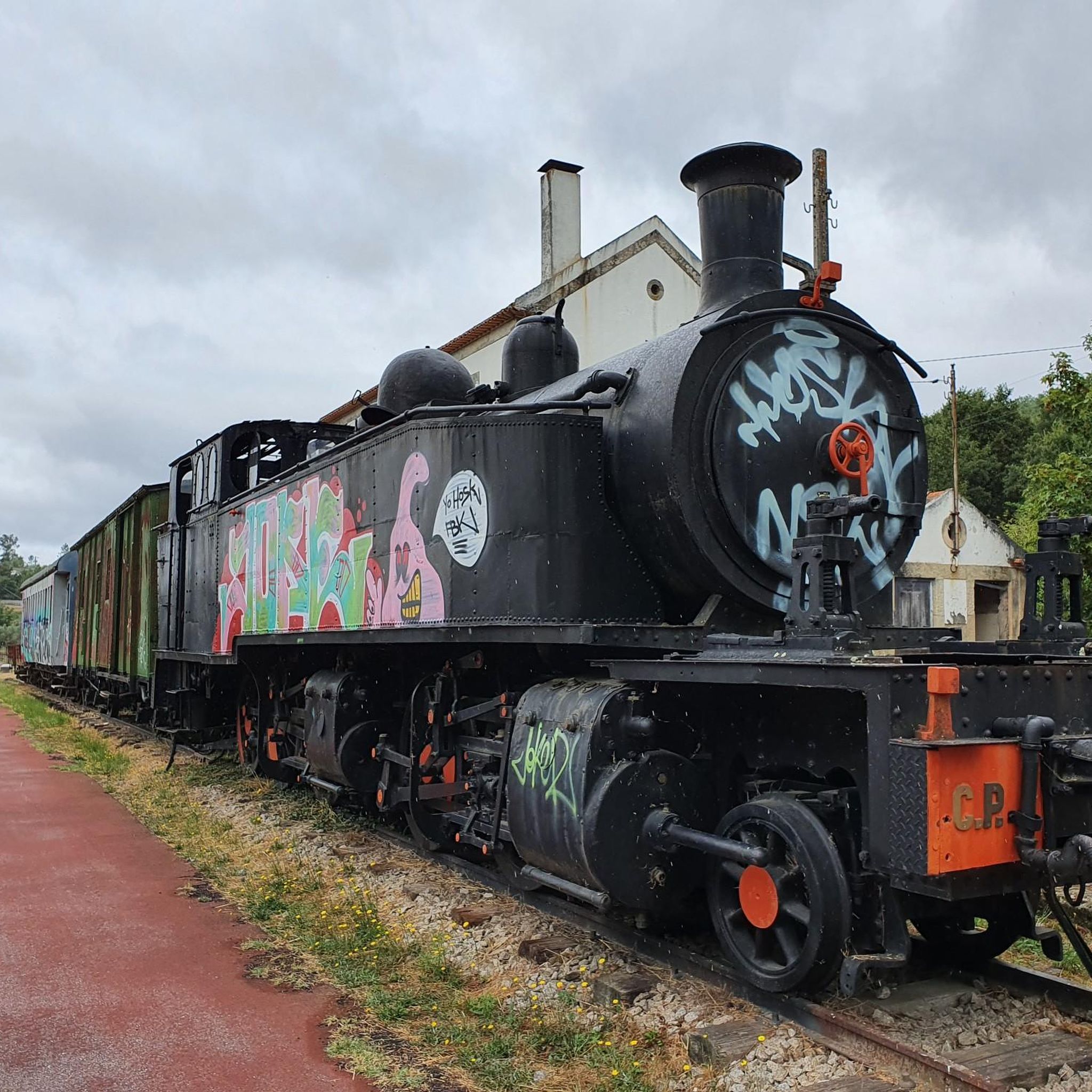
Yes, some routes pass by interesting points. For example, you might encounter the Ecopista do Dão, a popular cycle path, or historical sites like the Torredeita Railway Station and Steam Locomotive. The Pedra Talhada Viewpoint – Fonte da Sereia loop from Mosteiro de Fráguas is known for its viewpoints.
Are there cafes or places to stop for refreshments along the routes?
While specific cafes on every route are not detailed, many routes traverse rural landscapes and pass through villages or towns where you may find local establishments. The Station Alive Restaurant – Farminhão is one such highlight that could be a stop if your route passes nearby.
What is the average distance and duration for road cycling routes in Sabugosa?
The routes vary significantly in length and duration. You can find shorter excursions, such as the Fonte da Sereia – Water Mirror loop from Vilar de Besteiros at 38.2 miles (61.5 km) taking around 1 hour 54 minutes, to longer journeys like the Ribeira de Ribamá – Igreja Matriz de Vouzela loop from Vilar de Besteiros, which is 72.1 miles (116.0 km) and takes nearly 6 hours.
Are there any routes that incorporate sections of dedicated cycle paths?
Yes, some routes may include or run adjacent to dedicated cycle paths. For example, the Section of the Ecopista do Dão – Ecotrail do Dão loop from Vilar de Besteiros incorporates parts of the well-known Ecopista do Dão, offering a different cycling experience.
Most popular routes around Sabugosa
Most popular attractions around Sabugosa

Get inspired with the komoot mobile app


Explore more
Browse the best Road cycling routes in other regions.
