The best road cycling routes around Full-Reuenthal
4.5
(530)
8,792
riders
176
rides
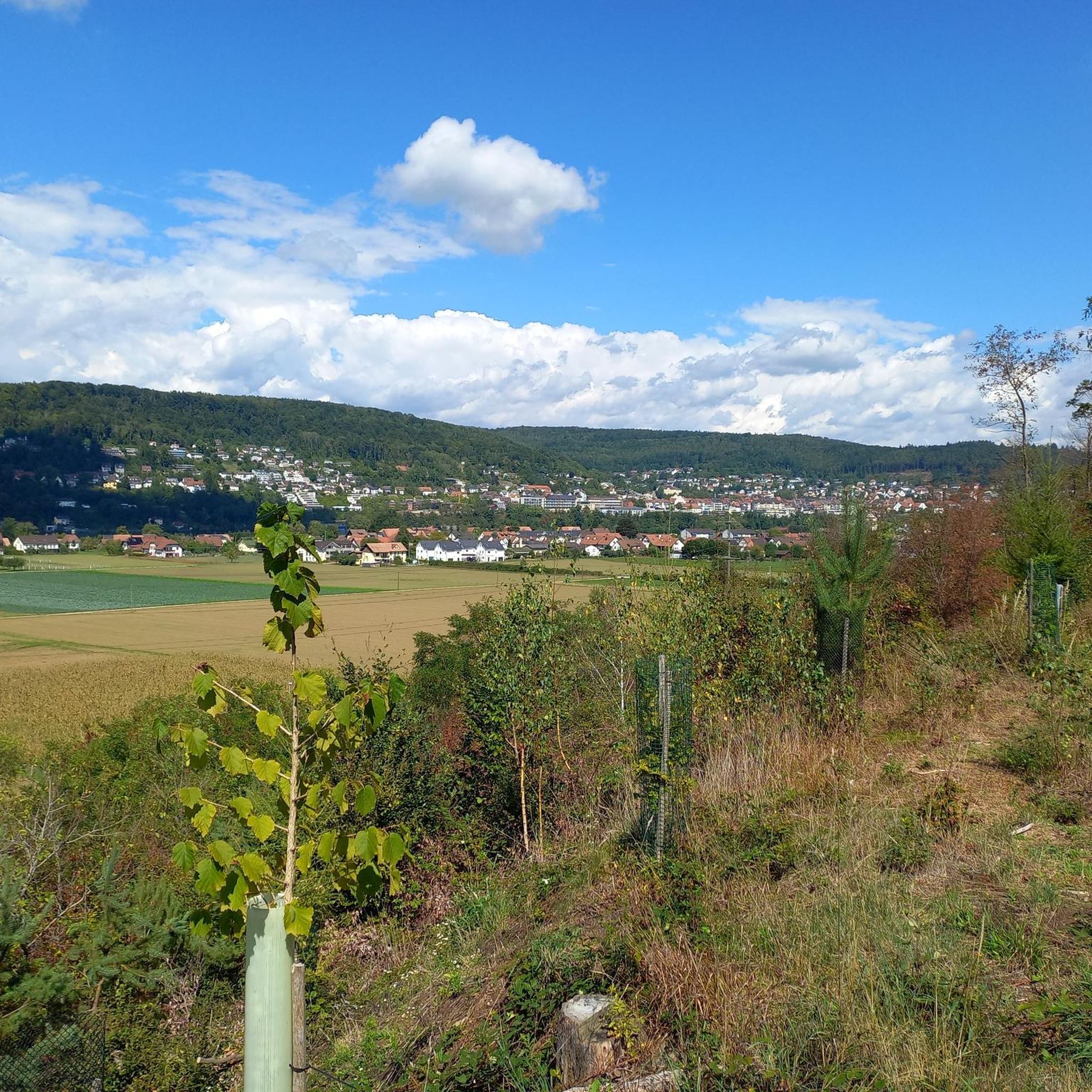
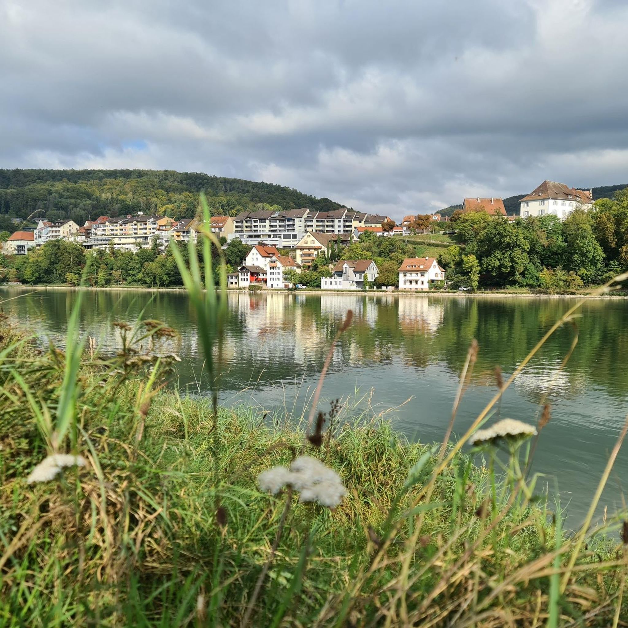
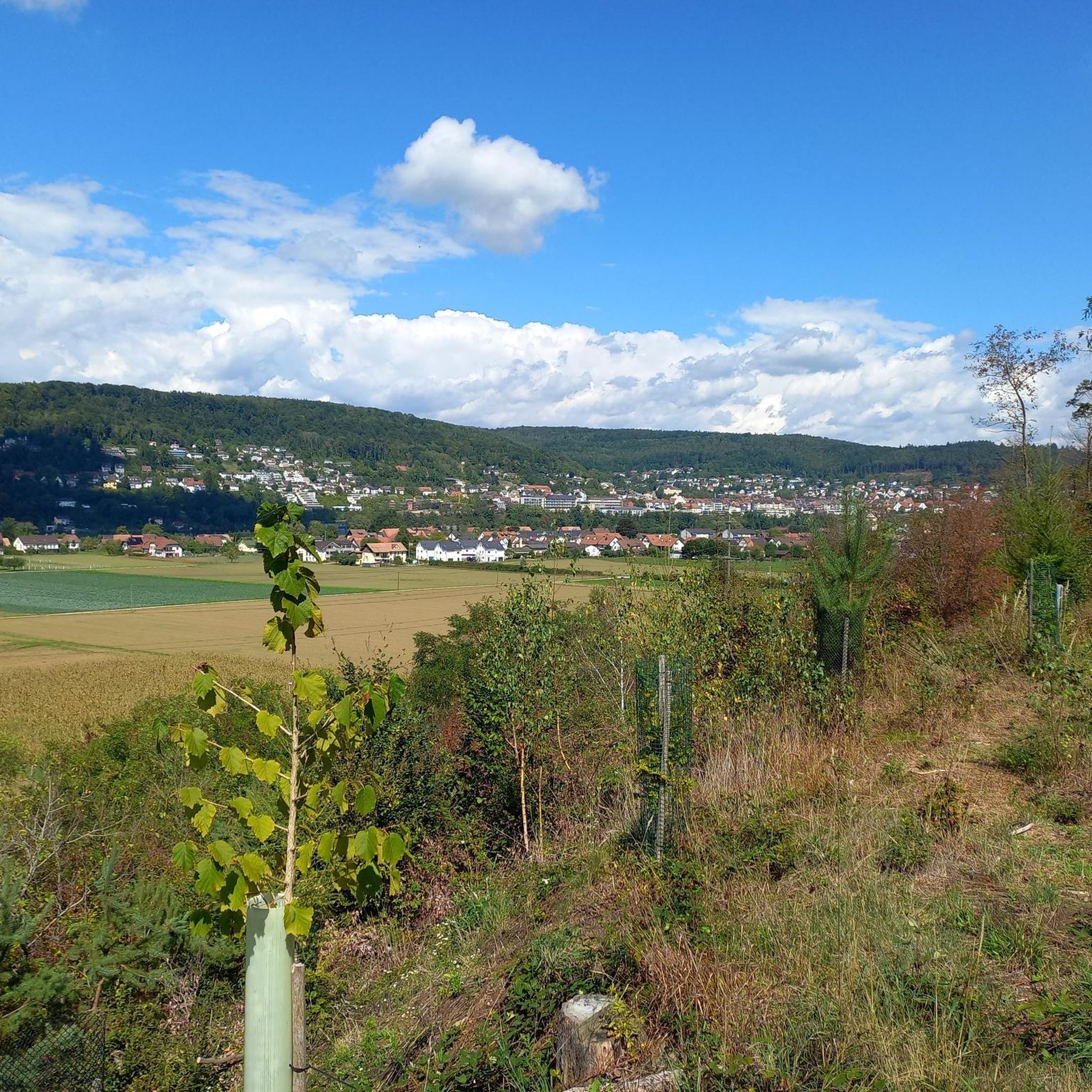
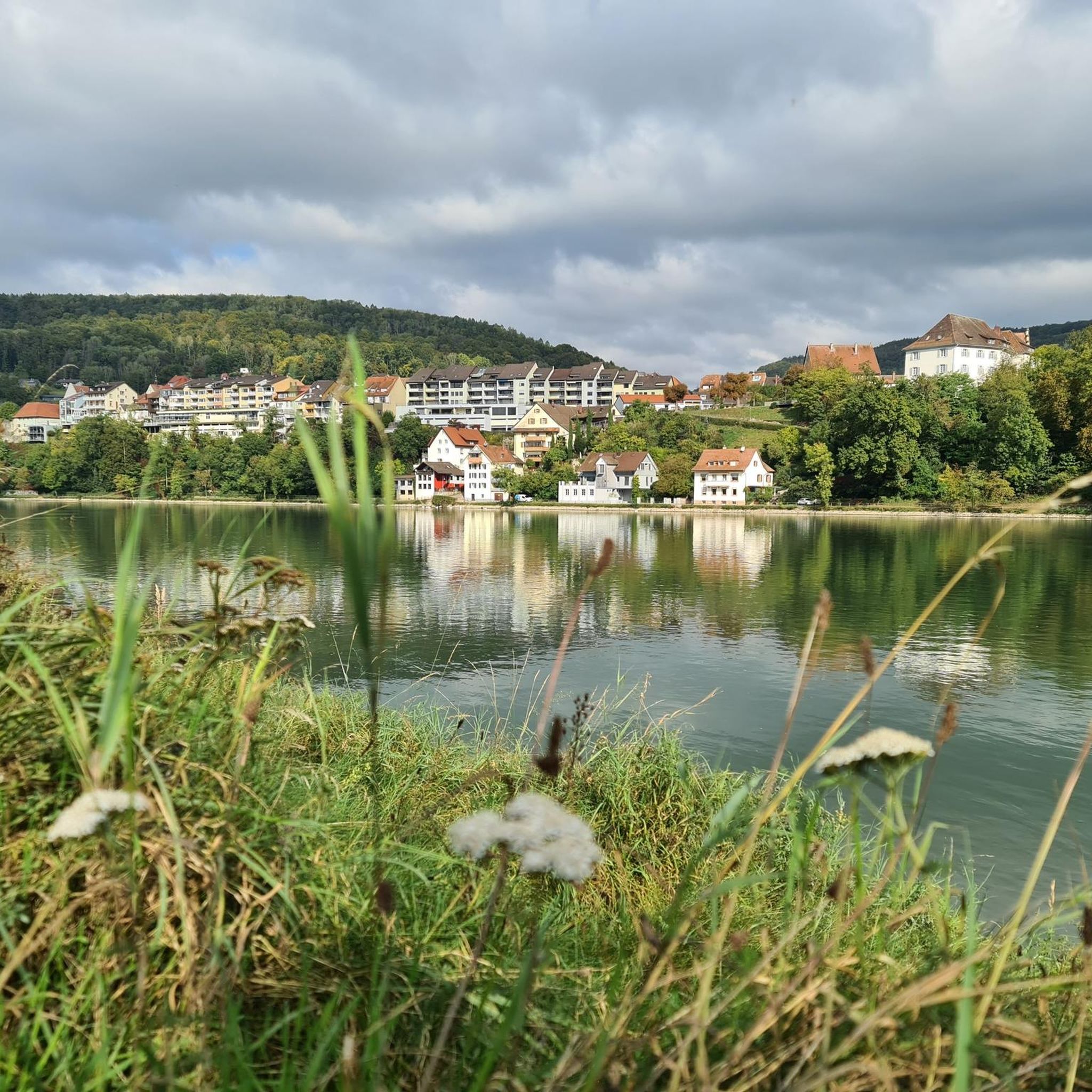
Road cycling routes around Full-Reuenthal are characterized by their diverse landscapes, situated at a bend in the Rhine River near the confluence of the Aare. The region offers a mix of flat or gently rolling terrain along the riverbanks, particularly on the Rhine Cycle Path, and more challenging hilly sections further inland. Notable natural features include the Klingnau Reservoir and the Fullerhalde, an eighty-meter-high limestone rock, contributing to varied elevation changes. This topography provides options for road cyclists seeking both relaxed rides and more demanding climbs.
Best road cycling routes around Full-Reuenthal
- The most popular road cycling route is View of Klingnauer Stausee – Ampfernhöhe loop from Koblenz, a 55.6 miles (89.5 km) trail that takes 5 hours 19 minutes to complete. This route features significant elevation gain, offering panoramic views of the Klingnau Reservoir and surrounding hills.
- Another top favourite among local road cyclists is Bad Säckingen Old Town – Bad Säckingen Wooden Bridge loop from Koblenz, a moderate 34.5 miles (55.5 km) path. This route follows the Rhine, passing through historic towns and across the iconic wooden bridge.
- Local road cyclists also love the Tiengen – Steina Valley Road loop from Koblenz, a 49.4 miles (79.5 km) trail leading through varied terrain with significant climbs, often completed in about 3 hours 55 minutes.
- Road cycling around Full-Reuenthal is defined by its routes along the Rhine and Aare rivers, the scenic Klingnau Reservoir, and the region's hilly terrain. The network offers options for different ability levels, from riverside paths to routes with substantial elevation gain.
- The routes in Full-Reuenthal are highly rated by the komoot community with an average score of 4.6 stars from over 400 reviews. More than 8,000 road cyclists have used komoot to explore Full-Reuenthal's varied terrain.
Last updated: October 8, 2026
4.5
(21)
357
riders
55.5km
02:25
390m
390m
Moderate road ride. Good fitness required. Some segments of this route may be unpaved and difficult to ride.
4.5
(2)
285
riders
89.6km
05:19
1,860m
1,860m
Hard road ride. Very good fitness required. Some segments of this route may be unpaved and difficult to ride.

4.3
(3)
104
riders
79.1km
03:47
1,020m
1,020m
Hard road ride. Very good fitness required. Mostly well-paved surfaces and easy to ride.
5.0
(6)
64
riders
62.3km
03:26
1,110m
1,110m
Hard road ride. Very good fitness required. Mostly well-paved surfaces and easy to ride.
42
riders
33.5km
01:29
240m
240m
Moderate road ride. Great for any fitness level. Some segments of this route may be unpaved and difficult to ride.
Get access to more routes and recommendations from other explorers.
Already have an account?
Our route recommendations are based on thousands of hikes, rides, and runs completed by other people on komoot.
Start today with a free account
Your next adventure awaits.
Tips from the Community

Arrived at the summit of the Bürersteig (550 m above sea level), a versatile hub for cyclists and mountain bikers in the Jurapark Aargau opens up. Those who have mastered the ascent from Mönthal or Gansingen do not have to go directly down the fast descent to Remigen – there is plenty to discover at the top: Discover military history: The Bürersteig fortified position Directly in the area of the pass and in the adjacent forest areas, you will encounter historical concrete structures from the Second World War and the Cold War. Purpose of the facility: The pass was part of the Swiss Army's Bürersteig fortified position. Its mission was to block a potential enemy advance from the Rhine Valley across the Jura towards the Mittelland and the Aare Valley.
1
0

Cycle path located between Remigen and Möntal. Off the road, quietly situated, almost nestled between two mountains. The picturesque landscape also has a calming effect on us: the vineyards, the fields, the forests... From Remigen in the direction of Möhntahl, a slight upward trend, before the Ampfernhöhe a steeper section that can be easily managed. Have fun on the ride!
0
0

Really relaxed, steady and shady climb.
0
0
You can't ascend a valley any better!
0
0
Pleasant gradient, easy to manage. Beware, we are not alone on the road. Especially when going downhill. The route is also popular with motorcyclists and cars, especially on weekends and holidays when the weather is nice.
1
0

The historic stone bridge and the town hall shape the cityscape of Laufenburg and tell of the long history of the border town on the Rhine. The view of the bridge, which connects Germany and Switzerland, makes this place a particularly worthwhile stop in the old town.
0
0
Laufenburg's historic old town enchants with its narrow alleys, well-preserved buildings, and its special charm right on the Rhine. A worthwhile stop to experience the unique atmosphere of the once-divided border town and discover some history.
0
0
The historic city gate is one of Laufenburg's striking landmarks and recalls the long history of the old town. Anyone who passes by here is immediately immersed in the medieval flair of the charming Rhine town.
0
0
Frequently Asked Questions
What kind of terrain can I expect when road cycling around Full-Reuenthal?
The Full-Reuenthal region offers a diverse landscape for road cyclists. You'll find a mix of flat or gently rolling terrain, particularly along the Rhine Cycle Path and the Aare River. Further inland, the topography becomes more varied, with hilly sections and significant elevation changes, such as around the Fullerhalde, an eighty-meter-high limestone rock. This provides options for both relaxed rides and more demanding climbs.
Are there challenging road cycling routes in Full-Reuenthal?
Yes, Full-Reuenthal offers challenging routes for experienced road cyclists. Approximately 44 routes in the area are classified as difficult. An example is the View of Klingnauer Stausee – Ampfernhöhe loop from Koblenz, which covers 55.6 miles (89.5 km) with significant elevation gain, offering panoramic views of the Klingnau Reservoir and surrounding hills.
Are there easy road cycling routes suitable for beginners or families?
Yes, there are routes suitable for beginners and families. The well-developed Rhine Cycle Path offers easy-to-ride sections along the river, providing flat or gently rolling terrain. There are approximately 19 easy routes available in the region, perfect for a relaxed cycling experience.
What scenic viewpoints or natural features can I discover on a road cycling tour?
Road cycling routes in Full-Reuenthal offer numerous scenic highlights. You can cycle along the picturesque Rhine River and experience the dramatic confluence of the Aare and Rhine rivers. The Klingnau Reservoir is another significant natural reserve, offering beautiful views and an observation tower. For stunning panoramic vistas, consider routes that pass by the observation point at Ried/Chrützli Reuenthal, which offers extensive views over Full, Germany, the Rhine, and the Aare valley all the way to the Alps. You might also encounter natural features like the Great Höllbach Waterfall or explore some of the caves around Full-Reuenthal.
Are there any historical sites or cultural attractions accessible by road bike?
Yes, several historical and cultural attractions are accessible by road bike. You can cycle past the historic covered wooden bridge over the Wutach in Tiengen, a notable stop. The region also features the Swiss Military Museum and the Fortification Museum in Reuenthal, a decommissioned fortress with original armaments and equipment, offering unique insights into local history.
What do other road cyclists enjoy the most about road cycling in Full-Reuenthal?
The road cycling routes in Full-Reuenthal are highly rated by the komoot community, with an average score of 4.6 stars from over 400 reviews. Cyclists frequently praise the diverse terrain, from scenic riverside paths to challenging hilly sections, and the beautiful views, especially along the Rhine and around the Klingnau Reservoir. The variety ensures there's something for every ability level.
Can I find routes that follow the Rhine Cycle Path in Full-Reuenthal?
Absolutely. The well-developed Rhine Cycle Path is a major draw for cyclists in Full-Reuenthal. Many routes incorporate sections of this path, providing enjoyable and accessible rides along the river. These sections are generally easy to ride and offer beautiful scenery.
Are there road cycling routes that pass through towns or offer opportunities for breaks?
Yes, many routes in the region pass through charming towns, offering opportunities for breaks and refreshments. For instance, the Bad Säckingen Old Town – Bad Säckingen Wooden Bridge loop from Koblenz follows the Rhine, passing through historic towns and across the iconic wooden bridge, where you can find cafes and pubs.
What is the best time of year for road cycling in Full-Reuenthal?
While specific seasonal data isn't provided, the region's diverse landscape and riverside paths suggest that spring through autumn would be ideal for road cycling. During these seasons, the weather is generally pleasant, and the natural beauty of the Rhine and Aare rivers, as well as the Klingnau Reservoir, can be fully enjoyed. Always check local weather forecasts before heading out.
Are there any circular road cycling routes available?
Yes, many road cycling routes in Full-Reuenthal are designed as loops, allowing you to start and end at the same point. Examples include the Tiengen – Steina Valley Road loop from Koblenz, which leads through varied terrain with significant climbs, and the View of the Rhine – Tiengen loop from Waldshut, offering moderate difficulty.
How many road cycling routes are available in the Full-Reuenthal area?
There are over 180 road cycling routes available around Full-Reuenthal, catering to various skill levels. This includes approximately 19 easy routes, 125 moderate routes, and 44 difficult routes, ensuring a wide range of options for every cyclist.
Most popular routes around Full-Reuenthal
Most popular attractions around Full-Reuenthal

Get inspired with the komoot mobile app


Explore more
Browse the best Road cycling routes in other regions.
