The best road cycling routes around Fuchshofen
4.6
(115)
2,413
riders
150
rides
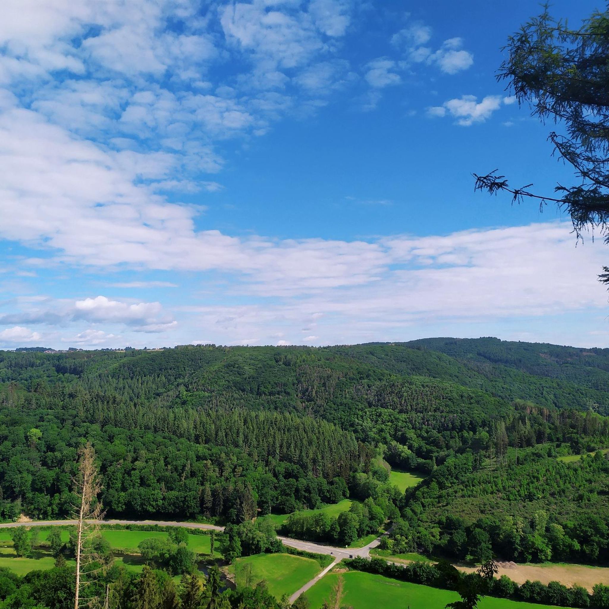
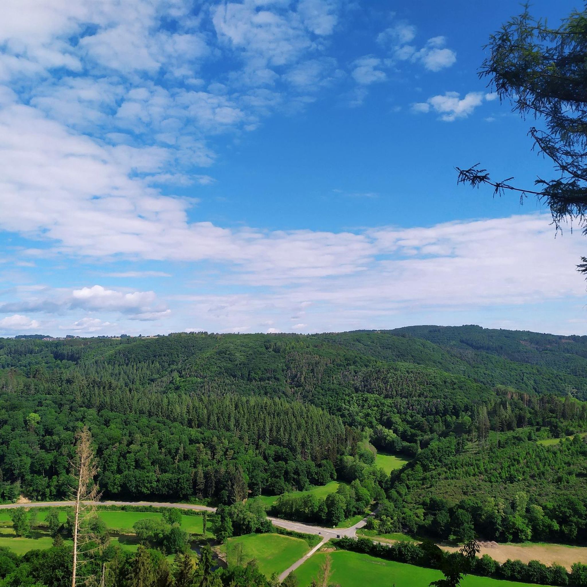
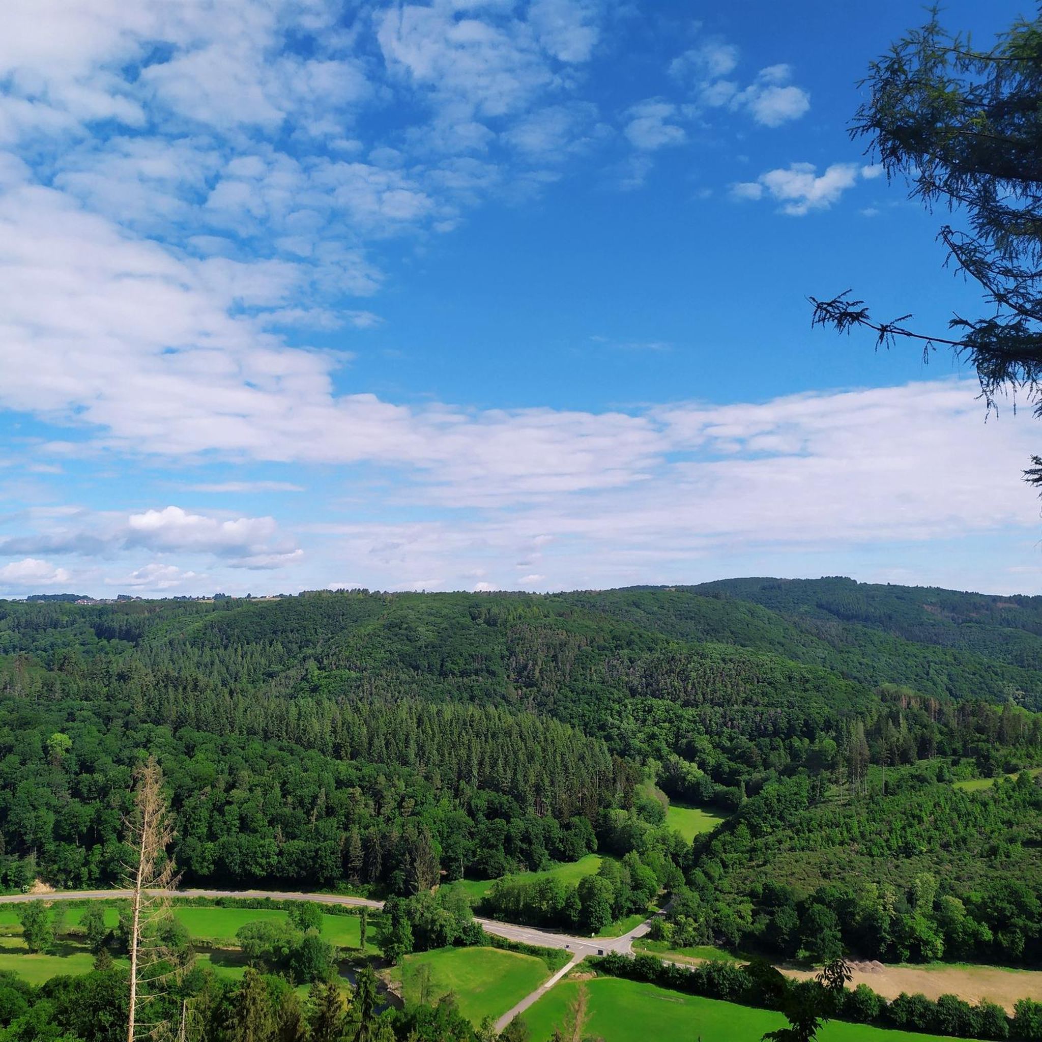
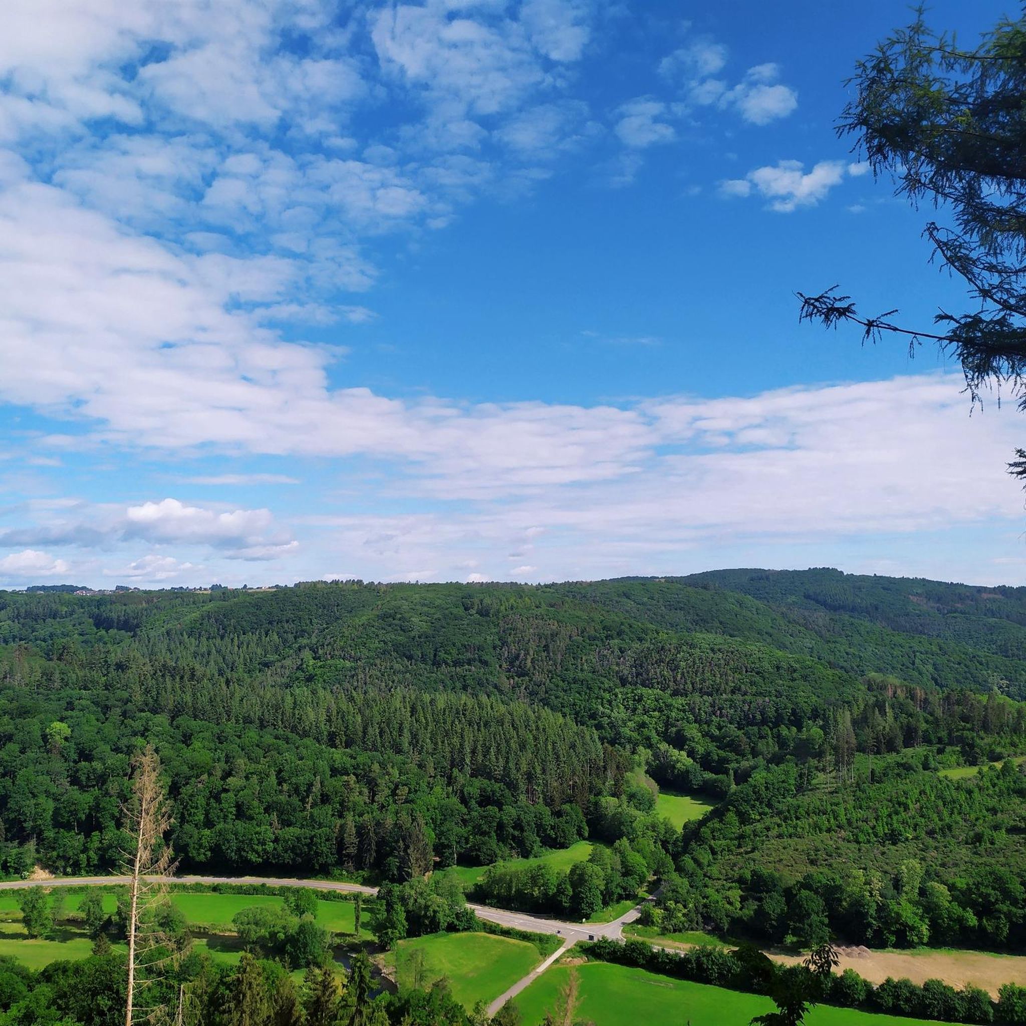
Road cycling routes around Fuchshofen are characterized by varied terrain, including river valleys, rolling hills, and forested sections. The region features a network of roads suitable for road cycling, with elevation changes ranging from gentle gradients along rivers to more challenging climbs. This area, part of the Eifel, offers diverse landscapes for cyclists.
Best road cycling routes around Fuchshofen
- The most popular road cycling route is Ahr loop near Mayschoss – Steinbergs Bridge Dernau loop from Antweiler, a 63.5…
Last updated: May 20, 2026
4.5
(4)
95
riders
Moderate road ride. Good fitness required. Some segments of this route may be unpaved and difficult to ride.
24
riders
29.7km
01:14
210m
210m
Easy road ride. Great for any fitness level. Mostly well-paved surfaces and easy to ride.

Sign up for free
25
riders
68.6km
03:24
1,000m
1,000m
Hard road ride. Very good fitness required. Some segments of this route may be unpaved and difficult to ride.
4.4
(5)
69
riders
Moderate road ride. Good fitness required. Mostly well-paved surfaces and easy to ride.
5.0
(1)
16
riders
42.4km
02:14
790m
790m
Moderate road ride. Good fitness required. Some segments of this route may be unpaved and difficult to ride.
Get access to more routes and recommendations from other explorers.
Sign up for free
Already have an account?
Our route recommendations are based on thousands of hikes, rides, and runs completed by other people on komoot.
Start today with a free account
Your next adventure awaits.
Login or Signup
Tips from the Community

At the moment the road to Altenahr is closed here
0
0

The scenery is very beautiful. A gravel bike is safer on the surface in autumn and when it's raining.
0
0

Nice change on the cycle path along the Ahr
0
0

The approximately 20-meter-high Obertor (Upper Gate) is one of Ahrweiler's four city gates dating back to the 13th century. The gate consists of a three-story tower, four corner towers, and a hipped roof and is located in the west of the town. The patron saint of the Obertor and the Oberhut (upper gate), which begins here, is Saint Ursula. The Obertor (Upper Gate) in Ahrweiler is a historic city gate that offers a fascinating insight into the rich history of this picturesque town. Ahrweiler, nestled in the heart of the Ahr Valley in Rhineland-Palatinate, is characterized by its well-preserved medieval architecture, and the Obertor (Upper Gate) is an outstanding example. The Obertor, also known as the Upper Gate, is the western city gate and forms a prominent entrance to Ahrweiler's old town. It dates back to the 13th century and is thus an impressive example of medieval architecture. The massive quarry stone tower and the tall, pointed-arched gate give the Obertor an imposing appearance, which
1
0


Directly after that the “ruin for eternity”
1
0

After the outdoor pool closed, the Weiherpark in the North Rhine-Westphalian municipality was left to its own devices – a barely used and inaccessible brownfield site with dilapidated structures emerged near the town center. A park is now being created at the confluence of the Ahr and Giesenbach rivers that blends into the landscape and connects Blankenheim with the surrounding nature. The vision: a spacious, species-rich valley landscape in the immediate vicinity of the town center. The Weiherpark has been rebuilt and redesigned over decades. After the swimming pool closed in 2015, large parts of it remained unused; only the Swan Pond in the center of the park remained accessible. The ideas and wishes of the residents were incorporated into the redevelopment plans. Existing and unused facilities will be demolished and landscaped; The subsequently remodeled terrain will connect to the neighboring valleys, bringing nature directly into the town. The renaturalized Weiherpark will be accessible and accessible for everyone. Thanks to the exposure of the Giesenbach stream, its confluence with the Ahr will become an integral part of the park, creating a connection to the Ahr source in the nearby historic town center. Source: https://die-gruene-stadt.de/ein-gruenes-tal-kehrt-zurueck/
4
0

In the Eifel you have just completed a climb and as you are riding back down the next small hill comes.
0
1
Frequently Asked Questions
How many road cycling routes are available around Fuchshofen?
There are over 150 road cycling routes around Fuchshofen, offering a wide range of options for different skill levels. The majority are moderate, with 96 routes, while 51 are considered difficult and 5 are easy.
What kind of terrain can I expect when road cycling in Fuchshofen?
Road cycling routes around Fuchshofen feature varied terrain, including scenic river valleys, rolling hills, and forested sections. You'll encounter a network of roads with elevation changes ranging from gentle gradients along rivers to more challenging climbs, characteristic of the Eifel region.
Are there any beginner-friendly road cycling routes in Fuchshofen?
Yes, Fuchshofen offers a few easier road cycling routes suitable for beginners. While most routes are moderate, there are 5 routes specifically categorized as easy, providing a gentler introduction to the region's cycling landscape.
What are some challenging road cycling routes for advanced riders in Fuchshofen?
Advanced riders seeking a challenge will find 51 difficult routes around Fuchshofen. An example is the Scenic S-curve near Berg – Descent from Freisheim to Berg loop from Fuchshofen, a 67.4 km trail with over 1,000 meters of elevation gain, often completed in about 3 hours 21 minutes.
Are there any circular road cycling routes around Fuchshofen?
Many of the road cycling routes in Fuchshofen are designed as loops. For instance, the popular Ahr loop near Mayschoss – Steinbergs Bridge Dernau loop from Antweiler is a 102.2 km moderate route following the Ahr river valley, and the Dümpelfeld Railway Viaduct – New Ahr Cycle Path loop from Eichenbach is a 43.7 km loop incorporating historical railway infrastructure.
What do other road cyclists say about the routes in Fuchshofen?
The road cycling routes in Fuchshofen are highly rated by the komoot community, with an average score of 4.6 stars from over 120 reviews. Cyclists often praise the varied terrain, from river valleys to challenging climbs, and the diverse landscapes of the Eifel region.
Are there any historical landmarks or points of interest along the road cycling routes?
Yes, some routes incorporate historical elements. For example, the Dümpelfeld Railway Viaduct – New Ahr Cycle Path loop from Eichenbach features sections of historical railway infrastructure. You can also find routes near Blankenheim Castle.
What natural attractions can I see while road cycling near Fuchshofen?
The region offers beautiful natural sights. You can find several lakes nearby, such as Lake Freilinger, Hoffelder Kopp Quarry Lake, and Hidden Basalt Lake, which can be explored in conjunction with your cycling tours.
Are there any specific climbs or ascents known in the Fuchshofen area?
Yes, the region is known for its rolling hills and challenging ascents. A notable climb is featured in the Aremberg Ascent – 12% climb to Rodder loop from Adenau, which includes a significant 12% gradient to Rodder.
Can I combine road cycling with other activities or visit viewpoints?
Absolutely. The area around Fuchshofen offers various viewpoints and attractions. For instance, you could visit Schwedenkreuz, a well-known viewpoint and memorial near the Nürburgring, or explore the Wehrseifen Corner of the Nürburgring itself.
What is the typical duration for road cycling routes in Fuchshofen?
The duration of road cycling routes in Fuchshofen varies significantly depending on the distance and difficulty. Moderate routes like the Dümpelfeld Railway Viaduct – New Ahr Cycle Path loop from Eichenbach (43.7 km) can take around 2 hours, while longer, more challenging routes such as the Ahr loop near Mayschoss – Steinbergs Bridge Dernau loop from Antweiler (102.2 km) typically require over 4 hours.
Most popular routes around Fuchshofen
Most popular attractions around Fuchshofen

Get inspired with the komoot mobile app


Explore more
Browse the best Road cycling routes in other regions.
