The best cycling routes around Friedrich-Wilhelm-Lübke-Koog
4.6
(486)
2,000
riders
122
rides
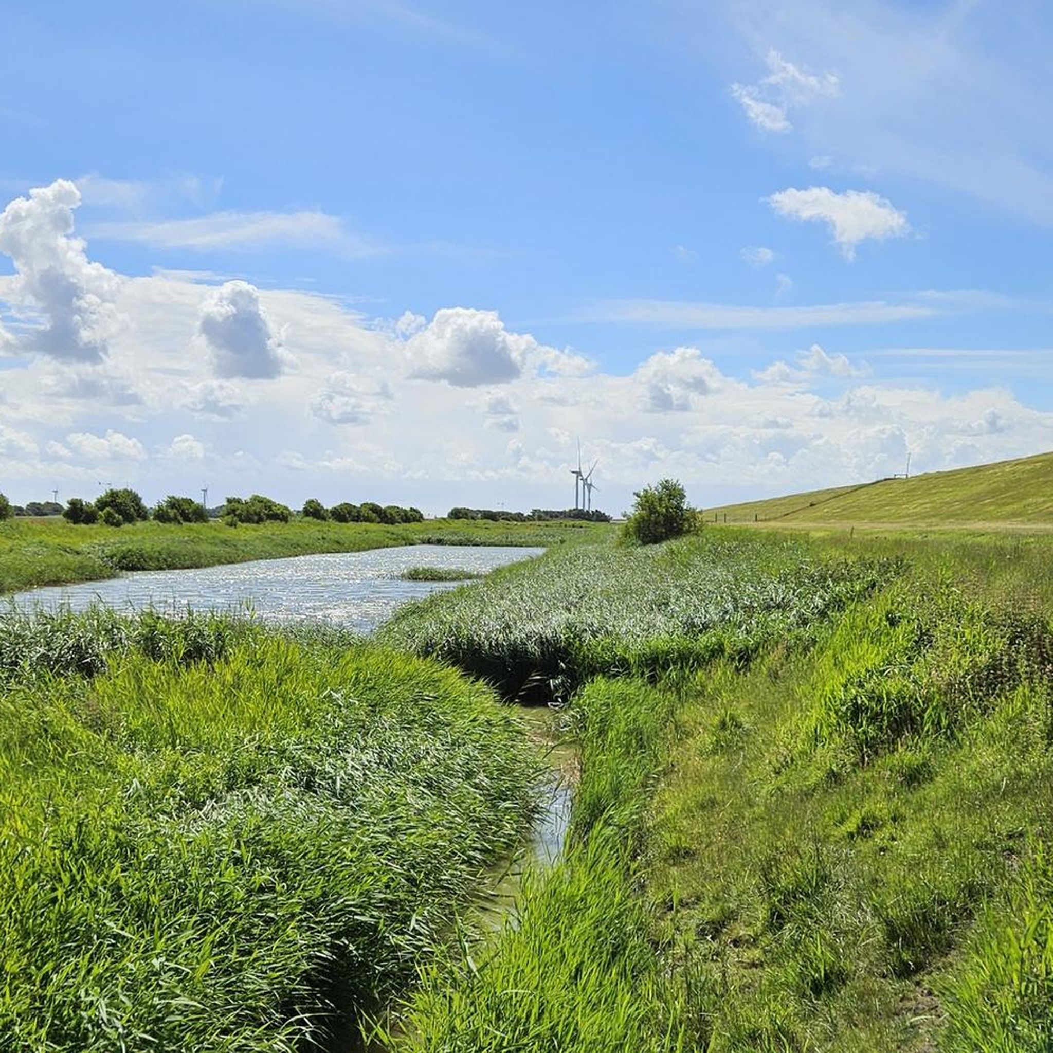
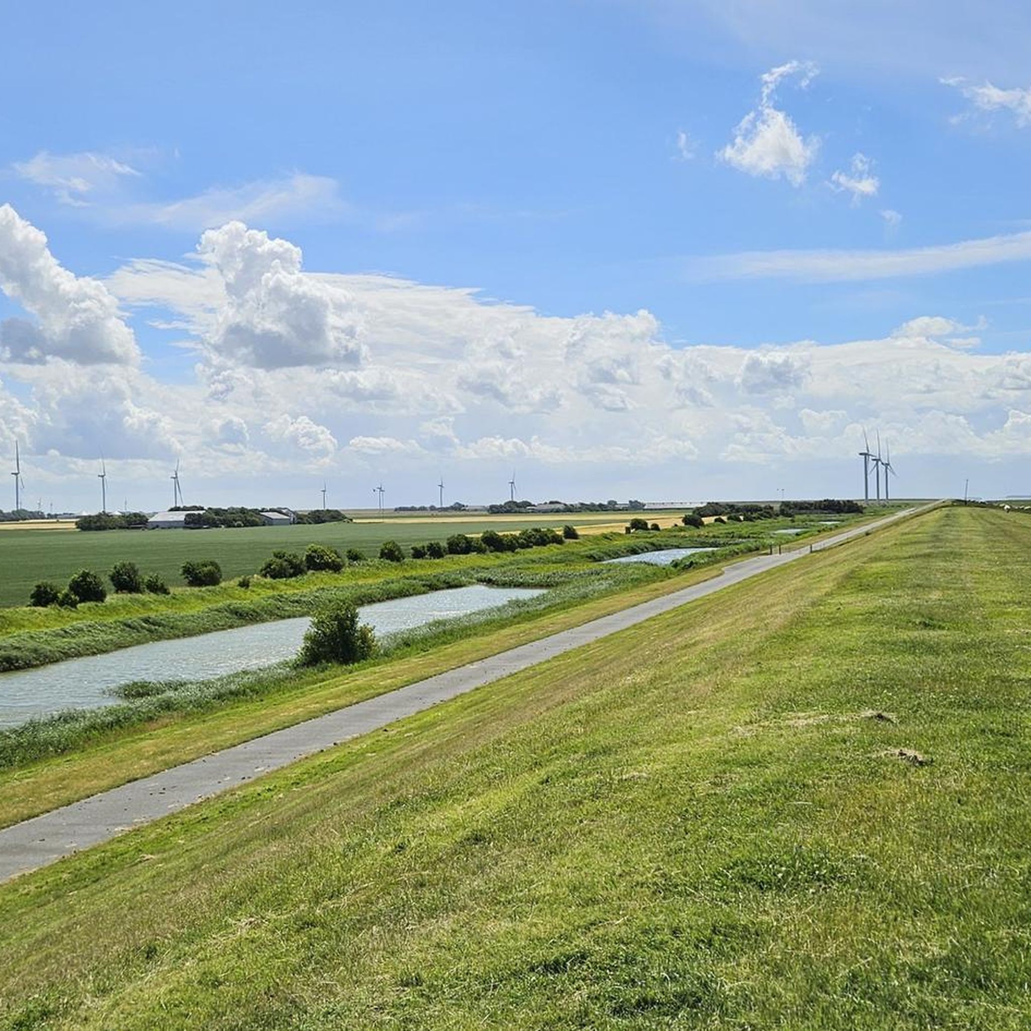
Touring cycling routes around Friedrich-Wilhelm-Lübke-Koog are characterized by a flat polder landscape, land reclaimed from the sea and protected by dikes. This area is part of the Schleswig-Holsteinisches Wattenmeer National Park, a UNESCO World Natural Heritage site. The extensive dikes offer panoramic views over the Wadden Sea and the surrounding marshy areas. The terrain is largely flat, making it suitable for long-distance touring.
Best touring cycling routes around Friedrich-Wilhelm-Lübke-Koog
- The most popular touring cycling route is Niebüll Town Centre –…
Last updated: October 11, 2026
4.3
(7)
43
riders
Moderate bike ride. Good fitness required. Mostly paved surfaces. Suitable for all skill levels.
4.8
(4)
8
riders
Easy bike ride. Great for any fitness level. Mostly paved surfaces. Suitable for all skill levels.

9
riders
Easy bike ride. Great for any fitness level. Mostly paved surfaces. Suitable for all skill levels.
5.0
(1)
7
riders
Easy bike ride. Great for any fitness level. Mostly paved surfaces. Suitable for all skill levels.
4.0
(1)
12
riders
Easy bike ride. Great for any fitness level. Mostly paved surfaces. Suitable for all skill levels.
Get access to more routes and recommendations from other explorers.
Already have an account?
Our route recommendations are based on thousands of hikes, rides, and runs completed by other people on komoot.
Start today with a free account
Your next adventure awaits.
Popular around Friedrich-Wilhelm-Lübke-Koog
Tips from the Community

The construction of the Rickelsbüller Koog began in 1979, and it was inaugurated in 1981. It is named after the village of Rickelsbüll, which was lost in the Great Flood on December 1, 1615, the remains of which are located under the dike between the Wiedingharder Neuen Koog and the Rickelsbüller Koog. In 1982, the koog was declared a nature reserve, thus replacing the previous protected area 'Bird Sanctuary North Sea East of Sylt'. On December 10, 1997, an information pavilion was opened by the Schleswig-Holstein state government, which provides information about the bird species found there in both German and Danish.
0
0
Located directly on the German/Danish border. Good opportunity for a break, delicious cake and coffee. When the weather is nice, you can use the terrace.
0
0

According to Wikipedia, this is the "northernmost mainland point" of Germany. However, there is no marking here. The point marked by the highlight https://www.komoot.com/de-de/highlight/3814093 is located a little further south. Source: https://de.wikipedia.org/wiki/Liste_der_Extrempunkte_Deutschlands
0
0


very informative, it is open daily and it has a toilet
0
0

Beautiful route from Hoyer across the border. 700 m to Café Zollhaus
0
0
Frequently Asked Questions
How many touring cycling routes are available in Friedrich-Wilhelm-Lübke-Koog?
There are over 120 touring cycling routes around Friedrich-Wilhelm-Lübke-Koog, offering a wide range of options for different preferences and skill levels. Most of these, around 100, are classified as easy, making the region very accessible for casual cyclists and families.
What makes touring cycling in Friedrich-Wilhelm-Lübke-Koog unique?
The region is characterized by its distinctive polder landscape, land reclaimed from the sea and protected by extensive dikes. Cycling along these dikes offers continuous, panoramic views of the Wadden Sea, a UNESCO World Natural Heritage site, on one side and the green marshlands on the other. The flat terrain makes for relaxed, long-distance cycling.
Are there any long-distance touring cycling routes in the area?
Yes, the flat polder landscape is ideal for long-distance touring. The region is integrated into larger networks like the North Sea Cycle Route (EuroVelo 12), which traverses the German North Sea coast, predominantly along dikes. This offers extensive maritime cycling experiences with views of the Wadden Sea.
Are there any circular touring cycling routes?
Many routes in the area are designed as loops, allowing you to start and end at the same point. For example, the Niebüll Town Centre – Nolde Garden loop from Horsbüll, Bäcker is a moderate 31.8-mile (51.2 km) route, and the Fugletarn Observation Hut – Rickelsbüller Koog loop from Emmelsbüll, Südfeddersbüll offers an easier 18.7-mile (30.1 km) option.
What scenic viewpoints can I expect along the touring cycling routes?
The dikes themselves offer continuous scenic views of the Wadden Sea and the surrounding polder landscape. Specific highlights include the View of the Wadden Sea from the Föhr dike, which provides excellent vantage points. You can also find routes like the View of Föhr Island – Südwesthörn Pumping Station loop from Marienkirche, offering coastal vistas.
What natural attractions can I explore while cycling?
The region is part of the Schleswig-Holsteinisches Wattenmeer National Park, a UNESCO World Natural Heritage site. You can explore areas like the Rickelsbüller Koog, known for its birdlife. While not directly accessible by bike on its path, the impressive Morsum Cliff is a notable natural monument nearby, offering geological insights and panoramic views.
Are there any interesting landmarks or cultural sites to see?
Yes, you can encounter unique points of interest such as the Rosenkranz–Rudbøl Border Crossing and the German-Danish Border at Ruttebüller See, which offer a glimpse into the region's history and geography.
Are the touring cycling routes suitable for families?
Absolutely. The predominantly flat terrain and numerous easy routes make Friedrich-Wilhelm-Lübke-Koog very family-friendly. Many routes are on well-maintained dike paths, offering safe and enjoyable cycling for all ages. Over 100 of the available routes are classified as easy.
What do other touring cyclists enjoy most about cycling in Friedrich-Wilhelm-Lübke-Koog?
The area is highly rated by the komoot community, with an average score of 4.7 stars from over 400 reviews. Reviewers often praise the serene polder landscapes, the expansive views over the Wadden Sea from the dikes, and the accessibility of the flat routes for enjoyable, long-distance touring.
What is the best time of year for touring cycling in this region?
The spring and summer months generally offer the most pleasant weather for touring cycling, with longer daylight hours and milder temperatures. However, the coastal climate can be dynamic, so it's always advisable to check local forecasts. The flat terrain also makes it possible to cycle comfortably in other seasons, provided you are prepared for cooler or windier conditions.
Where can I park my car when starting a touring cycling route?
While specific parking areas for each route are not detailed, the flat and accessible nature of the region means that starting points for routes often have nearby parking options in local villages or designated areas along the dikes. It's recommended to check the route details on komoot for specific parking suggestions near your chosen starting point.
Is it possible to access the touring cycling routes using public transport?
The region has connections to public transport, particularly through nearby towns like Niebüll, which can serve as a hub. Many regional trains and buses are equipped to carry bicycles, making it possible to reach starting points for various routes. It's best to consult local public transport schedules for specific routes and bike carriage policies.
Most popular routes around Friedrich-Wilhelm-Lübke-Koog
Most popular attractions around Friedrich-Wilhelm-Lübke-Koog

Get inspired with the komoot mobile app


Explore more
Browse the best Cycling routes in other regions.
