The best walks and hikes in South Fork San Jacinto Wilderness
4.7
(26)
602
hikers
26
hikes
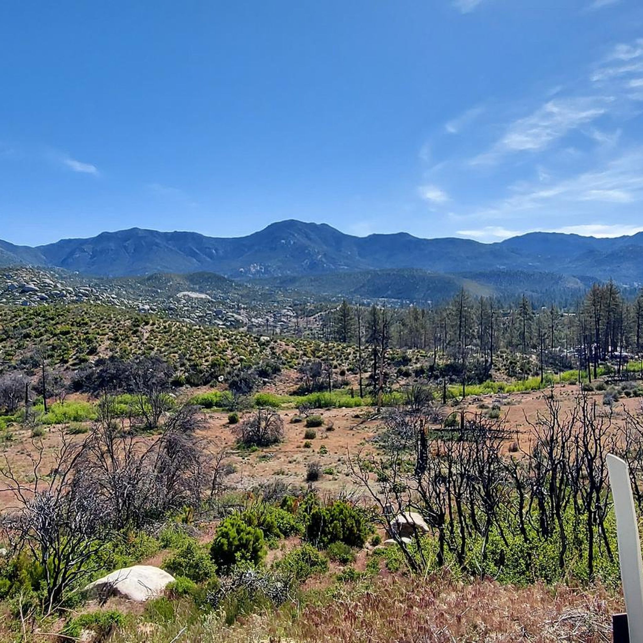
Hikes in South Fork San Jacinto Wilderness explore a landscape of contrasts, from exposed chaparral on canyon rims to sheltered woodlands on the canyon floor. The region is defined by the deep canyon carved by the South Fork of the San Jacinto River. This environment supports a mix of ribbonwood and manzanita on the arid slopes, with big-cone Douglas firs, willows, and black oaks along the river.
Best hiking trails in South Fork San Jacinto Wilderness
- The most popular hiking…
Last updated: May 17, 2026
4
hikers
10.3km
03:13
370m
370m
Moderate hike. Good fitness required. Easily-accessible paths. Suitable for all skill levels.
13.3km
03:55
520m
180m
Moderate hike. Good fitness required. Easily-accessible paths. Suitable for all skill levels.

Sign up for free
6
hikers
20.2km
06:21
700m
700m
Hard hike. Very good fitness required. Mostly accessible paths. Sure-footedness required.
2
hikers
13.0km
03:47
350m
350m
Moderate hike. Good fitness required. Easily-accessible paths. Suitable for all skill levels.
1
hikers
6.38km
01:54
200m
200m
Easy hike. Great for any fitness level. Easily-accessible paths. Suitable for all skill levels.
Get access to more routes and recommendations from other explorers.
Sign up for free
Already have an account?
Our route recommendations are based on thousands of hikes, rides, and runs completed by other people on komoot.
Start today with a free account
Your next adventure awaits.
Login or Signup
Popular around South Fork San Jacinto Wilderness
Tips from the Community

Lia Hona Lodge is located between Red Hill Road and the Toptimator trail. There is no information available on the use of the facility, but the buildings are there, in the middle of the woods, and one of the stone chimneys is worth stopping to look at. It is made of pebbles.
0
0
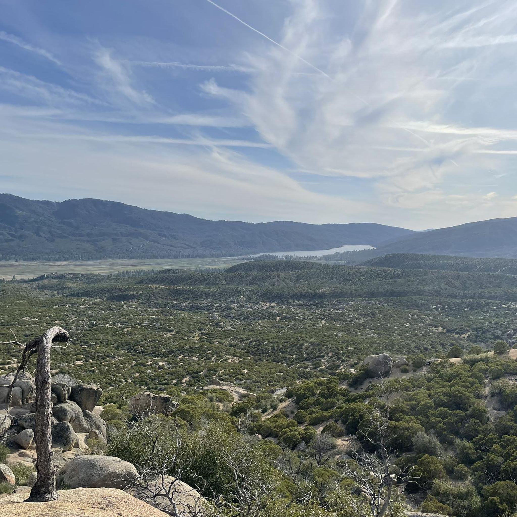
This spot offers a beautiful view of the area. It is a high point enabling you to see above the surrounding trees.
0
0

Descend down to the south fork of the San Jacinto River. This is a fishable camping area in the South Fork San Jacinto Wilderness. Though not as popular as the summit trails, this area has trees like Douglas fir, willow, and cottonwood. It also has animals like mountain lions, mule deer, mountain quail, southern spotted owls, and bald eagles.
0
0

Solitude and the beauty of the Southern California desert are guaranteed on this hike. Come in spring to see the colorful wildflowers like poppies and lupines. This is also a great are to pitch your tent as there are some designated spots within the mountains.
2
0
Frequently Asked Questions
Are permits required for hiking in the South Fork San Jacinto Wilderness?
Yes, a wilderness permit is required for both day hikes and overnight trips into the San Jacinto Wilderness. These are free and can be obtained from the Idyllwild Ranger Station. It's always best to check with the San Bernardino National Forest for the most current regulations before you go.
What is the best time of year to hike in this area?
The best times to hike in the South Fork San Jacinto Wilderness are spring and fall. In autumn, the cottonwoods and black oaks in the canyon offer beautiful fall colors. Spring can bring wildflower displays, depending on the year's rainfall. Summer can be very hot, especially on the exposed canyon rims, while winter may bring snow and ice to higher elevations.
Are there any easy, family-friendly hikes in the area?
Yes, there are several easier options. For a shorter, accessible walk, consider the Idyllwild Park South loop. Another good choice is the Hurkey Creek Trail, which offers a relatively flat path through pleasant forest terrain.
What kind of wildlife might I see?
The wilderness supports a variety of wildlife. You might spot mule deer, and birdwatchers can look for mountain quail and the southern spotted owl. While more elusive, mountain lions also inhabit the area, so it's important to be aware of your surroundings.
Can I bring my dog hiking in the South Fork San Jacinto Wilderness?
Dogs are generally permitted on trails within the San Bernardino National Forest, which includes the South Fork San Jacinto Wilderness, but they must be on a leash at all times. Be aware of the rugged terrain and potential for hot weather, and ensure you carry enough water for your pet.
What is the terrain like in the main canyon?
The terrain offers a dramatic contrast. Hikes often begin on the exposed, chaparral-covered canyon rim and then descend via switchbacks into the canyon itself. The canyon floor is a sheltered, lush woodland with a perennial water supply from the river, supporting trees like big-cone Douglas firs, willows, and black oaks.
Are there options for backpacking or overnight camping?
Yes, dispersed camping is allowed with a valid wilderness permit. There are no designated campgrounds within the wilderness itself, so you must follow Leave No Trace principles. The area around Tahquitz Peak is a popular objective for overnight trips, such as the route to Tahquitz Peak via South Ridge.
How many hiking trails are in the South Fork San Jacinto Wilderness?
There are nearly 20 designated hiking trails in and around the South Fork San Jacinto Wilderness. These range from easy walks to strenuous, difficult climbs, offering a good variety for different fitness levels.
What do other hikers enjoy about the South Fork San Jacinto Wilderness?
The area is highly rated by the komoot community. Hikers often praise the sense of solitude and tranquility compared to the more crowded main San Jacinto Wilderness. The dramatic contrast between the arid canyon rim and the lush, wooded canyon floor is frequently mentioned as a highlight.
Is there a challenging hike with good views?
For a more strenuous hike with rewarding views, consider the trail to Cahuilla Mountain. This route involves a significant ascent and offers panoramic vistas from the summit.
What are the road and parking conditions like for accessing the trails?
The main trailhead for the South Fork Trail is accessible from Highway 74. Parking is available at the trailhead, but it can be limited. Be aware that cell service is often low or non-existent when driving through the mountains, so it's wise to download maps and directions beforehand.
Most popular routes in South Fork San Jacinto Wilderness

Get inspired with the komoot mobile app


Explore more
Browse the best Hikes in other regions.
