The best cycling routes in Salmon-Huckleberry Wilderness
4.5
(2)
41
riders
8
rides
Touring cycling in Salmon-Huckleberry Wilderness offers routes through a rugged landscape on the southern side of Mount Hood. The region is characterized by dense rainforests of Douglas fir and western red cedar, with a thick understory of rhododendrons and ferns. Volcanic topography, including features like Salmon Butte (a 4,877-foot hill), defines the area, alongside the Wild and Scenic Salmon River. While the wilderness itself restricts mechanized transport, the surrounding Mt. Hood National Forest provides numerous touring cycling routes.
Best touring cycling routes in Salmon-Huckleberry Wilderness
- The most popular touring cycling route is Still Creek and Pioneer Bridle Trail Loop, a 29.1 miles (46.8 km) difficult trail that takes 3 hours 53 minutes to complete. This route navigates through forested areas with significant elevation changes.
- Another top favourite among local touring cyclists is Frog Lake & Timothy Lake gravel loop, a difficult 35.5 miles (57.1 km) path. This route features gravel sections and views of Frog Lake and Timothy Lake.
- Local touring cyclists also love the Government Camp – Government Camp loop from Government Camp, a 3.3 miles (5.3 km) trail leading through forested areas near Government Camp, often completed in about 29 minutes.
- Touring cycling in Salmon-Huckleberry Wilderness is defined by dense rainforests, volcanic hills, and scenic river valleys. The network offers options for various ability levels, from easy loops to challenging climbs.
- The routes in Salmon-Huckleberry Wilderness are highly rated by the komoot community with an average score of 4.0 stars from more than 1 review. More than 25 touring cyclists have used komoot to explore Salmon-Huckleberry Wilderness's varied terrain.
Last updated: August 3, 2026
5
riders
46.8km
03:53
850m
850m
Embark on the Still Creek and Pioneer Bridle Trail Loop for a challenging touring bicycle adventure through Mt. Hood National Forest. This difficult route spans 29.1 miles (46.8 km) and features a significant 2800 feet (853 metres) of elevation gain, taking approximately 3 hours and 52 minutes to complete. You will experience diverse landscapes, from the scenic Still Creek Road with its dense forests and mossy rock bridges alongside a flowing river, to the thick westside forests of the Pioneer Bridle Trail.
When planning your visit, be aware that this mixed-surface loop is best suited for mountain bikes or robust gravel bikes due to technical singletrack sections on the Pioneer Bridle Trail, which can have loose rocks and roots. While Still Creek Road is generally well-maintained, it may have potholes or be unmaintained after severe weather events, so always check current local conditions before you head out. This route is designed for experienced cyclists ready for a demanding ride.
This loop offers a unique blend of gravel roads and challenging singletrack, providing an immersive experience in the natural beauty of the region. As you cycle, you will pass by notable spots like Government Camp, offering a glimpse of local charm amidst the wilderness. Keep an eye out for rhododendrons blooming in June along the Pioneer Bridle Trail, adding a splash of color to the verdant forests.
4.0
(1)
7
riders
57.1km
04:47
710m
710m
The Frog Lake & Timothy Lake gravel loop offers a challenging touring cycling experience through the scenic Mount Hood National Forest. You'll navigate a mix of gravel forest roads, double track, and packed dirt, with some smooth singletrack sections around Timothy Lake. The route connects four distinct lakes, including the uniquely clear, bright blue Little Crater Lake, and provides impressive views of Mount Hood and Mount Jefferson on clear days.
This difficult 35.5-mile (57.1 km) loop, with 2327 feet (709 metres) of elevation gain, typically takes around 4 hours and 46 minutes. It's best ridden from late spring to early fall to avoid snow, and water is available at several lakes during the open season. Be prepared for a short section where you'll need to walk your bike along the Pacific Crest Trail.
This route is a fantastic option for an overnight bikepacking trip, offering abundant camping options at each lake and dispersed spots. Its diverse terrain and stunning natural features, including the geological oddity of Little Crater Lake, make it a memorable adventure for those with good physical fitness and a love for gravel cycling.

Sign up for free
6
riders
44.3km
03:59
860m
860m
Hard bike ride. Very good fitness required. Mostly paved surfaces. Suitable for all skill levels.
5.0
(1)
8
riders
42.3km
03:00
810m
810m
Hard bike ride. Very good fitness required. Mostly paved surfaces. Suitable for all skill levels.
3
riders
5.32km
00:29
100m
100m
Easy bike ride. Great for any fitness level. Mostly paved surfaces. Suitable for all skill levels.
Get access to more routes and recommendations from other explorers.
Sign up for free
Already have an account?
Our route recommendations are based on thousands of hikes, rides, and runs completed by other people on komoot.
Start today with a free account
Your next adventure awaits.
Login or Signup
Tips from the Community

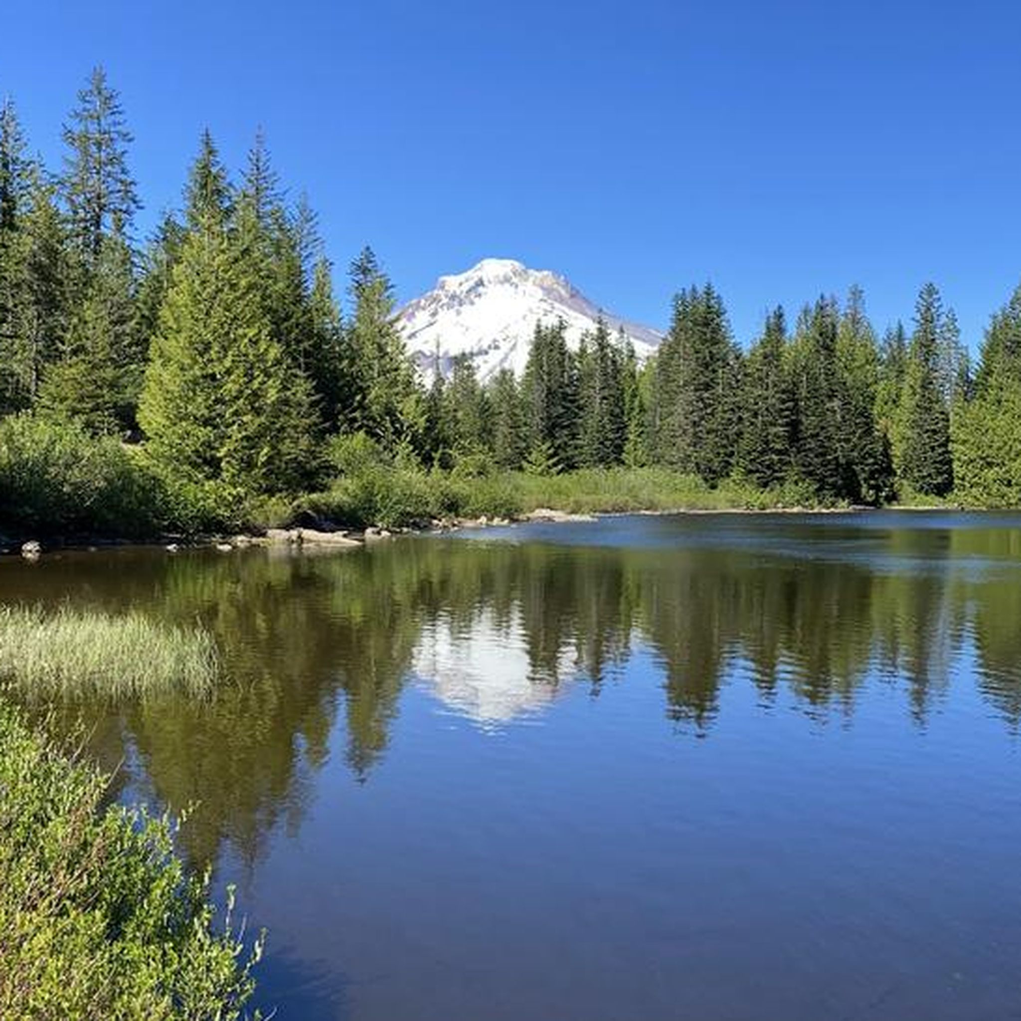
Government Camp is a small mountain village perched at 4,000 feet on the south slope of Mount Hood. It has accommodation, restaurants, and a general store.
0
0

Government Camp is a popular small town for hikers of the Pacific Crest Trail to resupply. There is a general store and a restaurant. The town is also a popular ski town at the base of Mount Hood.
2
0

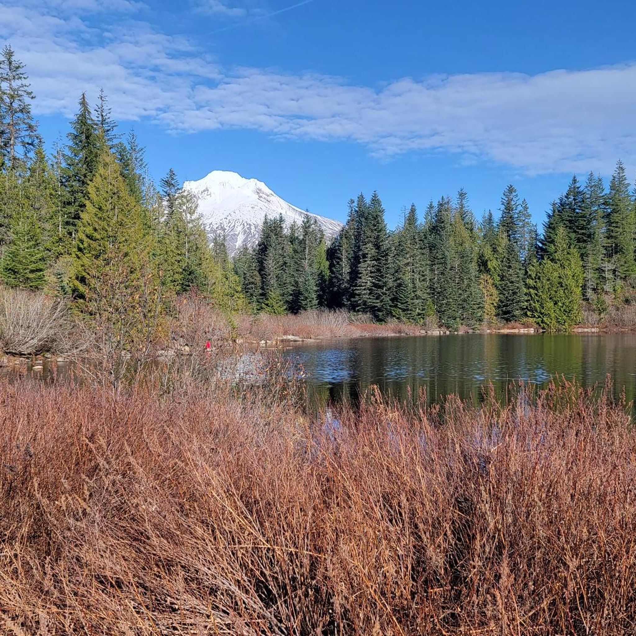
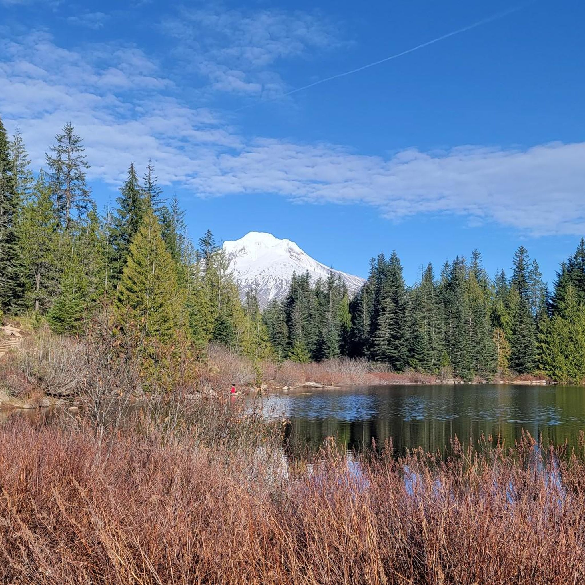
Timothy Lake is in the shadow of Mt. Hood at an elevation of 3,200 feet. It was created in 1956 when a dam was created on the Clackamas River. Today it's better known for its recreational opportunities like mountain biking, hiking, fishing, camping, and boating.
0
0

The Pioneer Bridle Trail connects the towns of Government Camp and Rhododendron and follows the historic Barlow Road. It is 8-miles long and is not paved. It is popular with mountain bikers, hikers and runners, so make sure you are aware of other users while out on the trail.
0
0

A European-style ski resort in winter, a quirky transit point in summer for people who want to visit Mount Hood and Timberline Lodge (location of the original film "The Shining" starring Jack Nicholson). Otherwise difficult to reach by bike because the place is at almost 1200 m.
0
0

Parking can be limited at times. If you choose to parallel park alongside the roadway, keep access and turnaround clear. In the winter, County road plowing stops near the forest boundary. Trailers are not recommended for this location.
0
0
Frequently Asked Questions
Are bicycles allowed within the Salmon-Huckleberry Wilderness itself?
No, the Salmon-Huckleberry Wilderness is a designated wilderness area, which means mechanized transport, including bicycles, is restricted within its boundaries. However, the surrounding Mt. Hood National Forest offers excellent touring cycling routes that allow you to experience the region's natural beauty.
What kind of landscapes can I expect to see while touring cycling near Salmon-Huckleberry Wilderness?
You'll encounter a diverse and rugged landscape. The area is known for its lush, dense rainforests with Douglas fir, western red cedar, and a thick understory of rhododendrons and ferns. You can also expect to see volcanic topography, including dramatic ridges and features like Salmon Butte, offering panoramic views. The Wild and Scenic Salmon River is another prominent natural feature.
Are there any easy touring cycling routes suitable for beginners or families?
Yes, there is at least one easy route available. The Government Camp – Government Camp loop from Government Camp is a shorter, easier option, covering about 5.3 km with moderate elevation gain, making it suitable for most fitness levels.
What are some challenging touring cycling routes for experienced riders?
For experienced riders seeking a challenge, several difficult routes are available. Consider the Still Creek and Pioneer Bridle Trail Loop, a 46.8 km route with significant elevation changes, or the Frog Lake & Timothy Lake gravel loop, which is 57.1 km and features gravel sections and scenic lake views.
Are there any gravel cycling routes in the area?
Yes, the region offers gravel cycling options. The Frog Lake & Timothy Lake gravel loop is a popular choice, and the Lolo Pass gravel loop also provides a challenging gravel experience.
What kind of views or landmarks can I expect to see along the cycling routes?
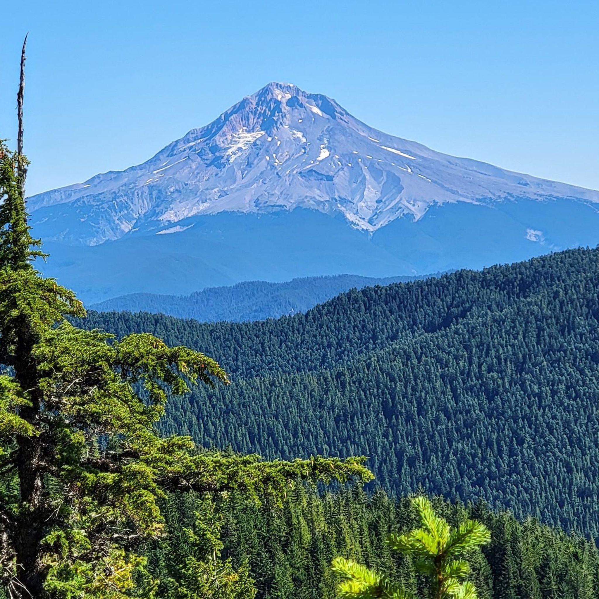
The routes offer opportunities to see various natural landmarks and viewpoints. You might catch glimpses of Mount Hood from certain vantage points, and there are summits like Tom, Dick and Harry Mountain and Salmon Butte Summit. The Devil's Peak Lookout also offers expansive views of the rugged landscape.
What is the best time of year for touring cycling in the Salmon-Huckleberry Wilderness area?
The best time for touring cycling is generally during the warmer, drier months, typically from late spring through early autumn. This period offers more predictable weather and clearer access to routes, especially those at higher elevations or with unpaved sections. Always check local weather conditions before heading out.
What do other touring cyclists say about the routes in Salmon-Huckleberry Wilderness?
The touring cycling routes in the Salmon-Huckleberry Wilderness area are highly rated by the komoot community, with an average score of 4.0 stars from over 1 review. Cyclists often appreciate the challenging terrain, the dense forested areas, and the scenic views of lakes and volcanic landscapes.
Are there any circular touring cycling routes available?
Yes, many of the touring cycling routes in the area are designed as loops. Examples include the Still Creek and Pioneer Bridle Trail Loop, the Frog Lake & Timothy Lake gravel loop, and the Lolo Pass gravel loop, all offering a return to your starting point.
How many touring cycling routes are available in the Salmon-Huckleberry Wilderness area?
There are approximately 5 touring cycling routes available for exploration in the Salmon-Huckleberry Wilderness area, catering to various difficulty levels from easy to difficult.
What kind of terrain should I expect on the touring cycling routes?
The terrain is quite varied, reflecting the region's rugged nature. You'll encounter routes through dense forested areas, some with significant elevation changes, and others featuring gravel sections. Some routes may require cyclists to push their bikes on particularly steep or unpaved segments.
Most popular routes in Salmon-Huckleberry Wilderness
Most popular attractions in Salmon-Huckleberry Wilderness

Get inspired with the komoot mobile app


Explore more
Browse the best Cycling routes in other regions.
