The best cycling routes in Twin Peaks Wilderness
4.3
(3)
216
riders
26
rides
Touring cycling in Twin Peaks Wilderness is characterized by routes that navigate the scenic roads bordering this rugged alpine landscape. The region features dramatic terrain with high peaks, glacial cirques, and narrow canyons carved by ancient glaciers. While direct cycling within the wilderness is limited due to its challenging and protected nature, the surrounding areas offer demanding routes with significant elevation changes and views of the Wasatch Range. These routes often follow major canyons like Big Cottonwood Creek and Little…
Last updated: June 1, 2026
11
riders
Hard bike ride. Very good fitness required. Mostly paved surfaces. Suitable for all skill levels.
11
riders
40.0km
02:27
360m
360m
Moderate bike ride. Good fitness required. Mostly paved surfaces. Suitable for all skill levels.

4.0
(1)
42
riders
63.8km
04:47
1,540m
1,540m
Hard bike ride. Very good fitness required. Mostly paved surfaces. Suitable for all skill levels.
8
riders
27.2km
01:43
320m
320m
Moderate bike ride. Good fitness required. Mostly paved surfaces. Suitable for all skill levels.
9
riders
Hard bike ride. Very good fitness required. Mostly paved surfaces. Suitable for all skill levels.
Get access to more routes and recommendations from other explorers.
Already have an account?
Our route recommendations are based on thousands of hikes, rides, and runs completed by other people on komoot.
Start today with a free account
Your next adventure awaits.
Tips from the Community

Few hikes from this Trailhead. The most popular one is the Lower Bells canyon
0
0

Guardsman Pass is a tough but unforgettable climb—steep grades, tight switchbacks, and big elevation gain. The views from the top, at nearly 9,700 feet, are worth every pedal stroke. Expect light traffic on weekdays and smooth pavement for a fast, fun descent.
0
0

The Hogle Zoo was founded in 1931 and is located at the mouth of Emigration Canyon, covering 42 acres. It is home to over 800 animals from around the world, representing over 200 species, including some endangered ones.
0
1
This is The Place Monument commemorates the spot where Brigham Young and the Mormon pioneers declared the Salt Lake Valley as their new home in 1847. Located near the Bonneville Shoreline Trail, the monument is part of a heritage park featuring museums, historical reenactments, and a visitor center.
0
0


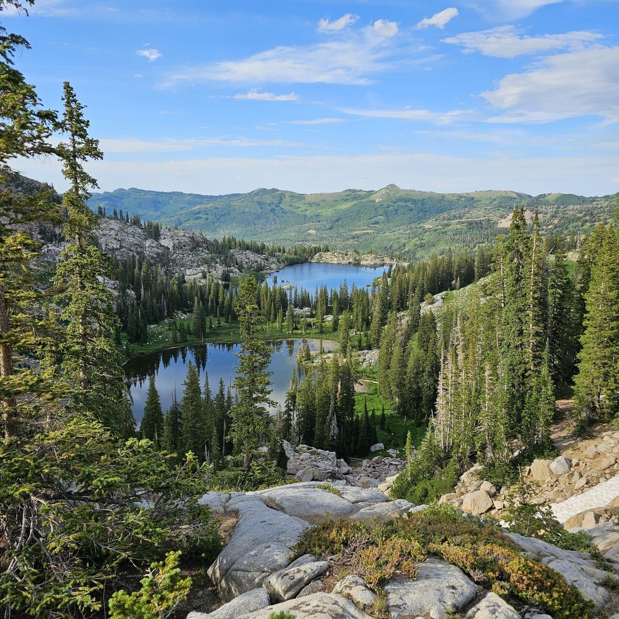
Experience breathtaking vistas of Bell Canyon from Sunrise Point, a picturesque overlook nestled at the end of Sunrise Point Trail. Ideal for early morning or twilight bike rides, this vantage point offers unparalleled views of the canyon's stunning beauty.
0
0
Experience breathtaking vistas of Bell Canyon from Sunrise Point, a picturesque overlook nestled at the end of Sunrise Point Trail. Ideal for early morning and twilight bike rides, this vantage point offers unparalleled views of the canyon's stunning beauty.
0
0
Experience breathtaking vistas of Bell Canyon from Sunrise Point, a picturesque overlook nestled at the end of Sunrise Point Trail. Ideal for early morning hikes or twilight strolls, this vantage point offers unparalleled views of the canyon's stunning beauty.
0
0
Frequently Asked Questions
What kind of terrain can I expect on touring cycling routes around Twin Peaks Wilderness?
The touring cycling routes bordering Twin Peaks Wilderness are characterized by challenging terrain with significant elevation changes. You'll encounter scenic roads that navigate rugged ridges, high peaks, and narrow canyons, often following major canyons like Big Cottonwood Creek and Little Cottonwood Creek. These routes offer dramatic views of the Wasatch Range and the alpine landscape.
Are there any easy touring cycling routes in the Twin Peaks Wilderness area?
Yes, while many routes are challenging, there are options for less experienced touring cyclists. Out of the 27 available routes, 4 are classified as easy. For example, the Utah's Hogle Zoo – Holladay City Park loop from Cottonwood Heights is a moderate route that offers a less strenuous option compared to the more difficult mountain climbs.
What are the most challenging touring cycling routes in Twin Peaks Wilderness?
For experienced touring cyclists seeking a challenge, there are 9 difficult routes available. One of the most demanding is the Mill D North Fork Trailhead loop from Pine Cove East, which covers 34.0 miles (54.8 km) with over 1,480 meters of elevation gain. Another difficult option is the Elbow Fork Trailhead – Mill Creek Canyon Road loop from Big Cottonwood Canyon P+R (Down), traversing scenic canyon roads with substantial climbs.
Can I bring my dog on touring cycling routes in Twin Peaks Wilderness?
The Twin Peaks Wilderness itself is a protected area with specific regulations. While direct cycling within the wilderness is limited, the surrounding roads and canyons may have varying rules regarding dogs. It's always best to check local regulations for specific trails or roads you plan to cycle, especially concerning leash laws and protected wildlife areas.
Are there family-friendly touring cycling options near Twin Peaks Wilderness?
While the immediate vicinity of the wilderness features challenging routes, some of the easier or moderate routes in the broader area could be suitable for families with older, more experienced children. For instance, the Holladay City Park – Knudsen's Park loop from Cottonwood Heights is a moderate 27.1 km route with over 320 meters of elevation gain, which might be manageable for active families.
What natural features or landmarks can I see while touring cycling in the area?
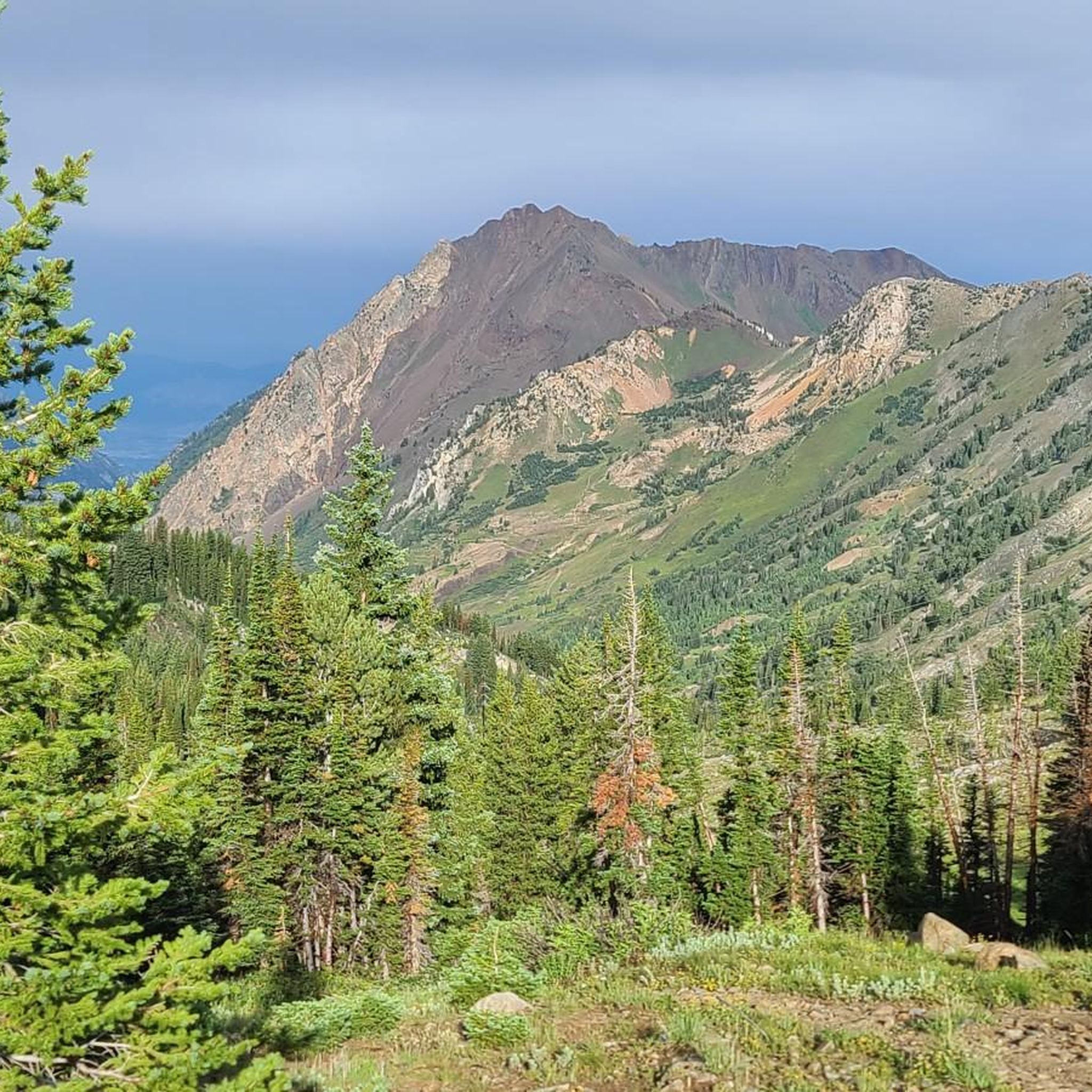
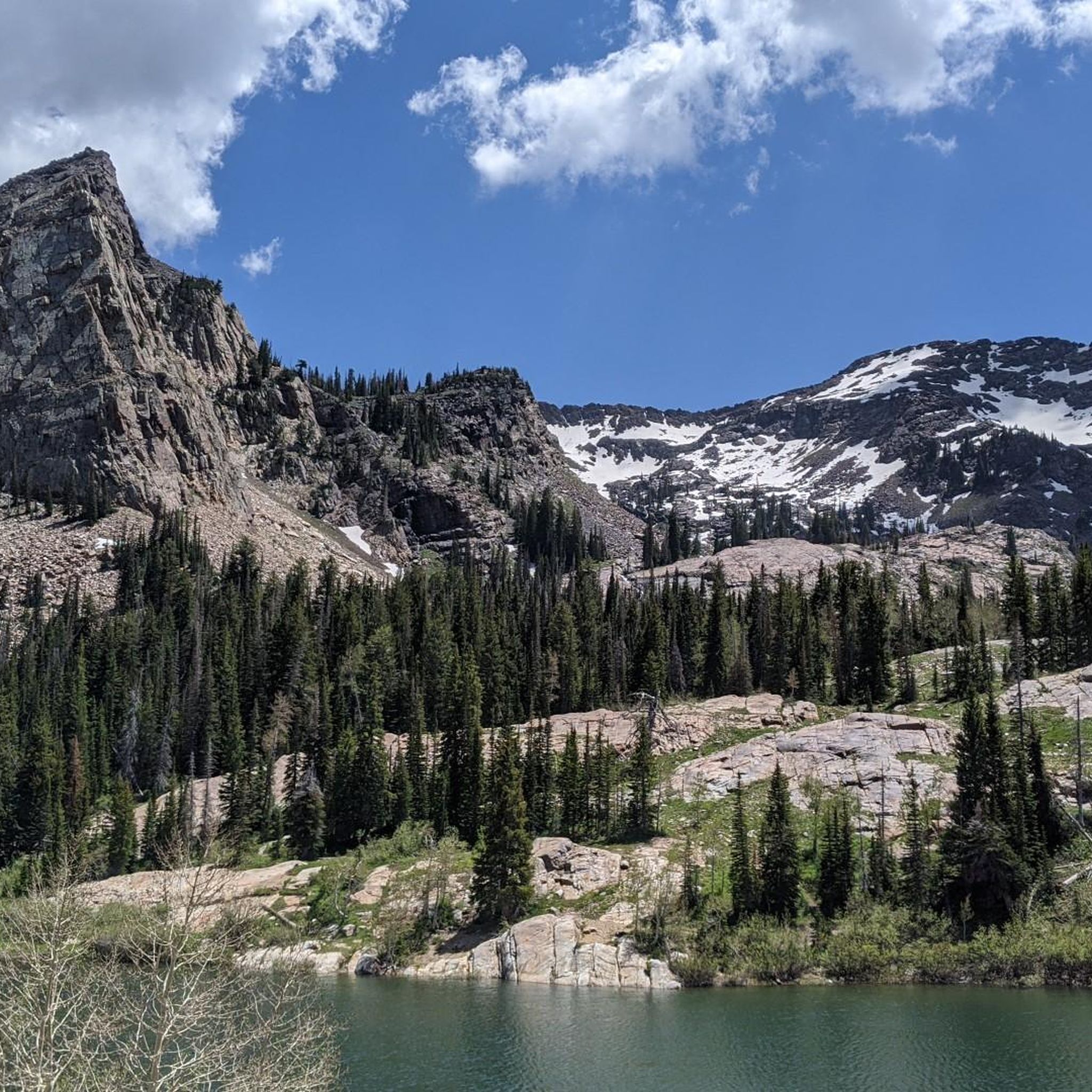
The touring cycling routes offer stunning views of the Twin Peaks Wilderness's dramatic landscape. You'll see towering summits like Twin Peaks, Sunrise Peak, and Dromedary Peak, as well as evidence of ancient glaciation in the form of cirque basins and alpine meadows. The routes often follow Big Cottonwood Creek and Little Cottonwood Creek, which carve scenic canyons. While direct access to alpine lakes like Lake Blanche or Lake Florence is typically via hiking trails, you'll get panoramic views of the rugged mountain environment.
What is the best time of year for touring cycling around Twin Peaks Wilderness?
The best time for touring cycling in the Twin Peaks Wilderness area is generally during the warmer months, from late spring through early autumn. During this period, roads are typically clear of snow, and the weather is more favorable. Summer brings vibrant wildflowers to the alpine areas, but also higher temperatures at lower elevations. Always check current road and weather conditions before heading out, as higher elevations can experience snow well into late spring or early fall.
Are there any specific regulations for cycling in the Twin Peaks Wilderness area?
The Twin Peaks Wilderness is a federally protected area, and direct cycling within its designated boundaries is generally restricted to protect its pristine nature. Touring cycling is primarily done on the scenic roads bordering the wilderness, such as State Route 190 (Big Cottonwood Canyon) and State Route 210 (Little Cottonwood Canyon). Always adhere to traffic laws and any specific signage regarding cycling on these public roads.
Where can I find parking or access points for touring cycling routes?
Many touring cycling routes in the area start from various trailheads or designated parking areas along the scenic canyon roads. For example, routes like the Elbow Fork Trailhead – Mill Creek Canyon Road loop often begin near established parking areas in Big Cottonwood Canyon. It's advisable to check the specific route details on komoot for recommended starting points and parking information.
What do other touring cyclists say about the routes in Twin Peaks Wilderness?
The touring cycling routes in the Twin Peaks Wilderness area are highly regarded by the komoot community, with an average rating of 4.8 stars from over 4 reviews. Cyclists often praise the dramatic scenery, the challenging climbs, and the rewarding views of the Wasatch Range. The varied mountain terrain and the sense of accomplishment after tackling the significant elevation gains are frequently highlighted.
Are there any cafes or accommodation options near the touring cycling routes?
While the Twin Peaks Wilderness itself is undeveloped, the surrounding canyons and nearby communities, particularly along Big Cottonwood Canyon and Little Cottonwood Canyon, offer various amenities. You can find cafes, restaurants, and accommodation options in towns and resorts located at the base or within these canyons, providing convenient stops before or after your ride.
How many touring cycling routes are available in the Twin Peaks Wilderness area?
There are 27 touring cycling routes available in the Twin Peaks Wilderness area on komoot. These routes cater to various skill levels, with 4 easy, 14 moderate, and 9 difficult options, ensuring there's a ride for almost every touring cyclist.
Most popular routes in Twin Peaks Wilderness

Get inspired with the komoot mobile app


Explore more
Browse the best Cycling routes in other regions.
