The best running trails in Middle Prong Wilderness
22
runners
5
runs
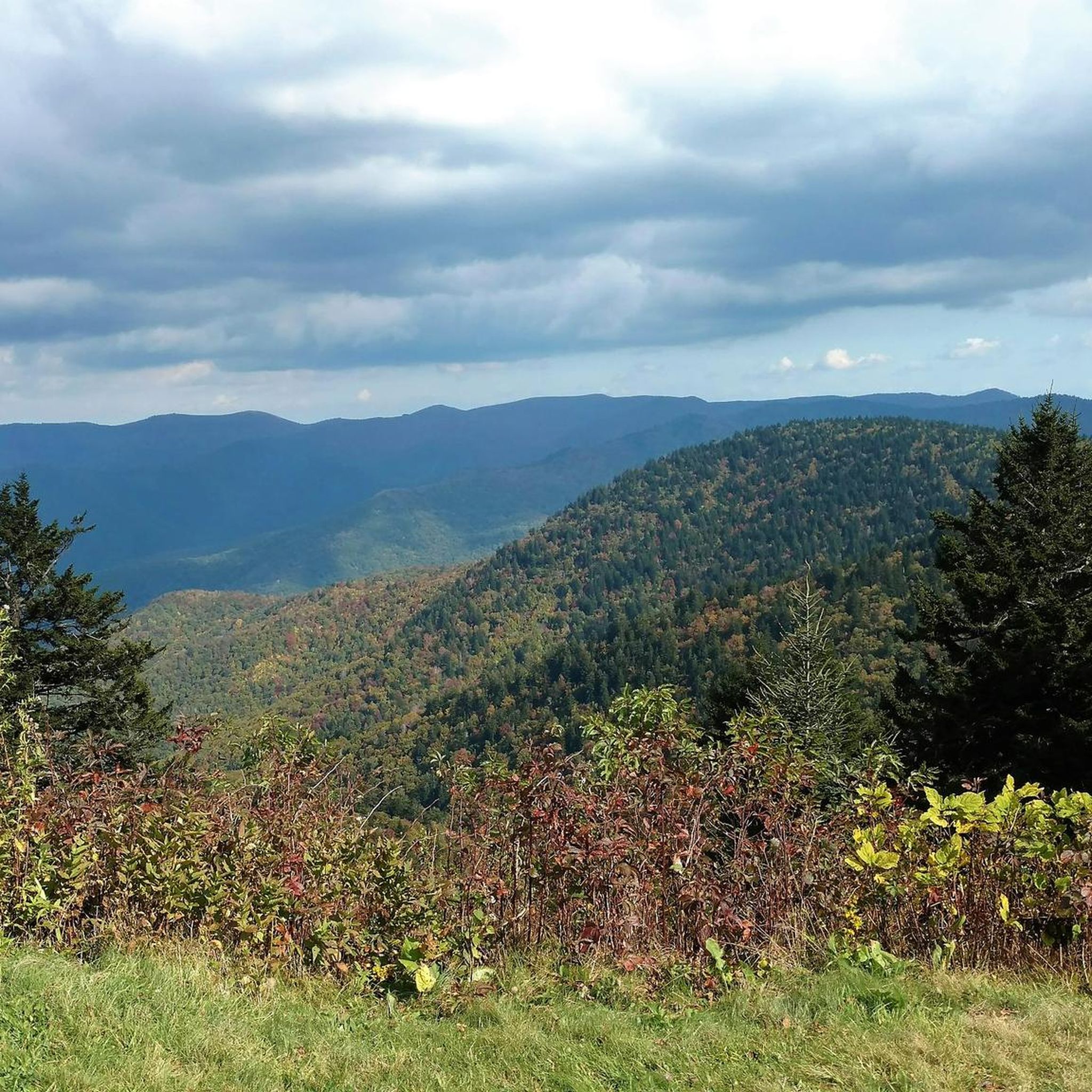
Jogging routes in Middle Prong Wilderness traverse nearly 8,000 acres of rugged and serene terrain within North Carolina's Pisgah National Forest. The area is characterized by steep ridges with elevations ranging from 3,200 to over 6,400 feet, offering significant elevation changes. Dense hardwood forests, Fraser fir, and red spruce cover the landscape, interspersed with crystal-clear creeks and numerous waterfalls. Trails are generally rugged and minimally maintained, making them suitable for experienced trail runners.
Best jogging routes in Middle Prong Wilderness
- The most popular jogging route is Sam Knob – Devil's Courthouse Summit loop from Black Balsam Knob, a 9.9 miles (15.9 km) trail that takes 2 hours 11 minutes to complete. This difficult route features significant elevation gain through high-elevation forests.
- Another top favourite among local runners is Black Balsam Knob – Tennent Mountain summit loop from Seniard Mountain, a difficult 10.4 miles (16.8 km) path. This route offers challenging climbs and panoramic views from prominent peaks.
- Local runners also love the Dog Loser Knob – Old Butt Knob loop from Shining Creek Trailhead, a 16.8 miles (27.1 km) trail leading through dense forests and rugged ridges, often completed in about 4 hours 6 minutes.
- Jogging in Middle Prong Wilderness is defined by rugged ridges, dense hardwood forests, and crystal-clear creeks. The network primarily offers challenging options for experienced trail runners due to its strenuous and minimally maintained trails.
- The guide includes highly-rated routes that showcase the best of the region's landscape. More than 20 runners have used komoot to explore Middle Prong Wilderness's varied terrain.
Last updated: August 4, 2026
9
runners
9.50km
01:21
320m
320m
Hard run. Very good fitness required. Sure-footedness, sturdy shoes and alpine experience required.
3
runners
13.3km
01:55
340m
340m
Hard run. Very good fitness required. Sure-footedness, sturdy shoes and alpine experience required.

Sign up for free
4
runners
17.7km
02:32
560m
560m
Hard run. Very good fitness required. Sure-footedness, sturdy shoes and alpine experience required.
5
runners
7.90km
01:03
170m
180m
Hard run. Good fitness required. Sure-footedness, sturdy shoes and alpine experience required.
1
runners
13.3km
02:14
810m
810m
Hard run. Very good fitness required. Mostly paved surfaces. Suitable for all skill levels.
Our route recommendations are based on thousands of hikes, rides, and runs completed by other people on komoot.
Start today with a free account
Your next adventure awaits.
Login or Signup
Popular around Middle Prong Wilderness
Tips from the Community


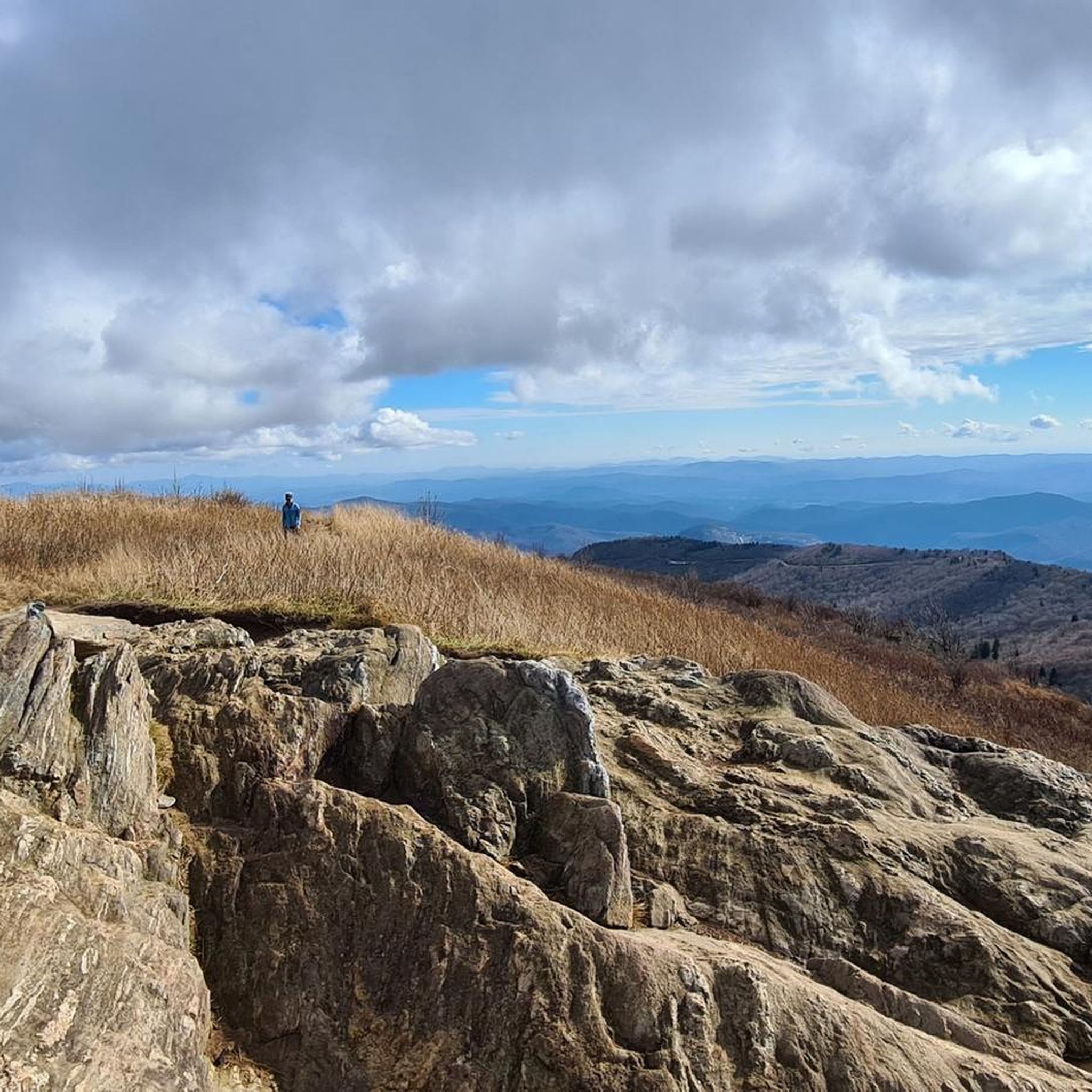
Tennent Mountain is a grassy bald with a rocky summit in the Great Balsams in Pisgah National Forest. Hiking the well-maintained Art Loeb Trail offers relatively easy access this breathtaking mountain views. At the summit, you'll find a large marker dedicated to Gaillard Stoney Tennent (1872-1953), who, according to the plaque, "established organized hiking in North Carolina."
0
0
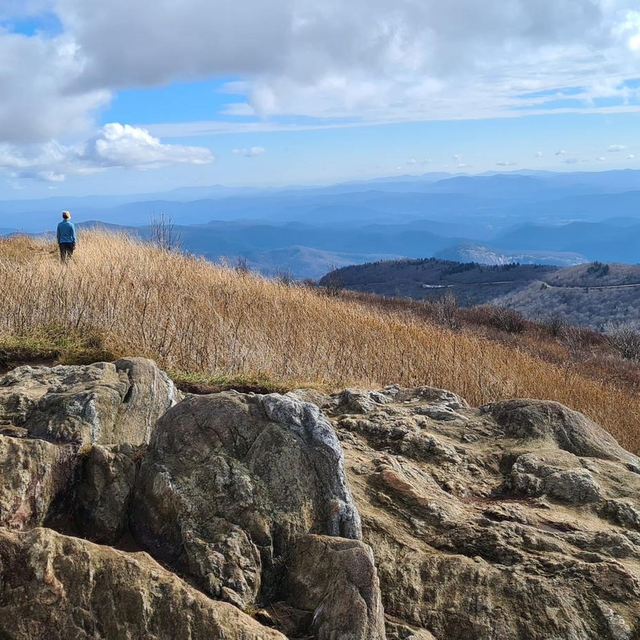
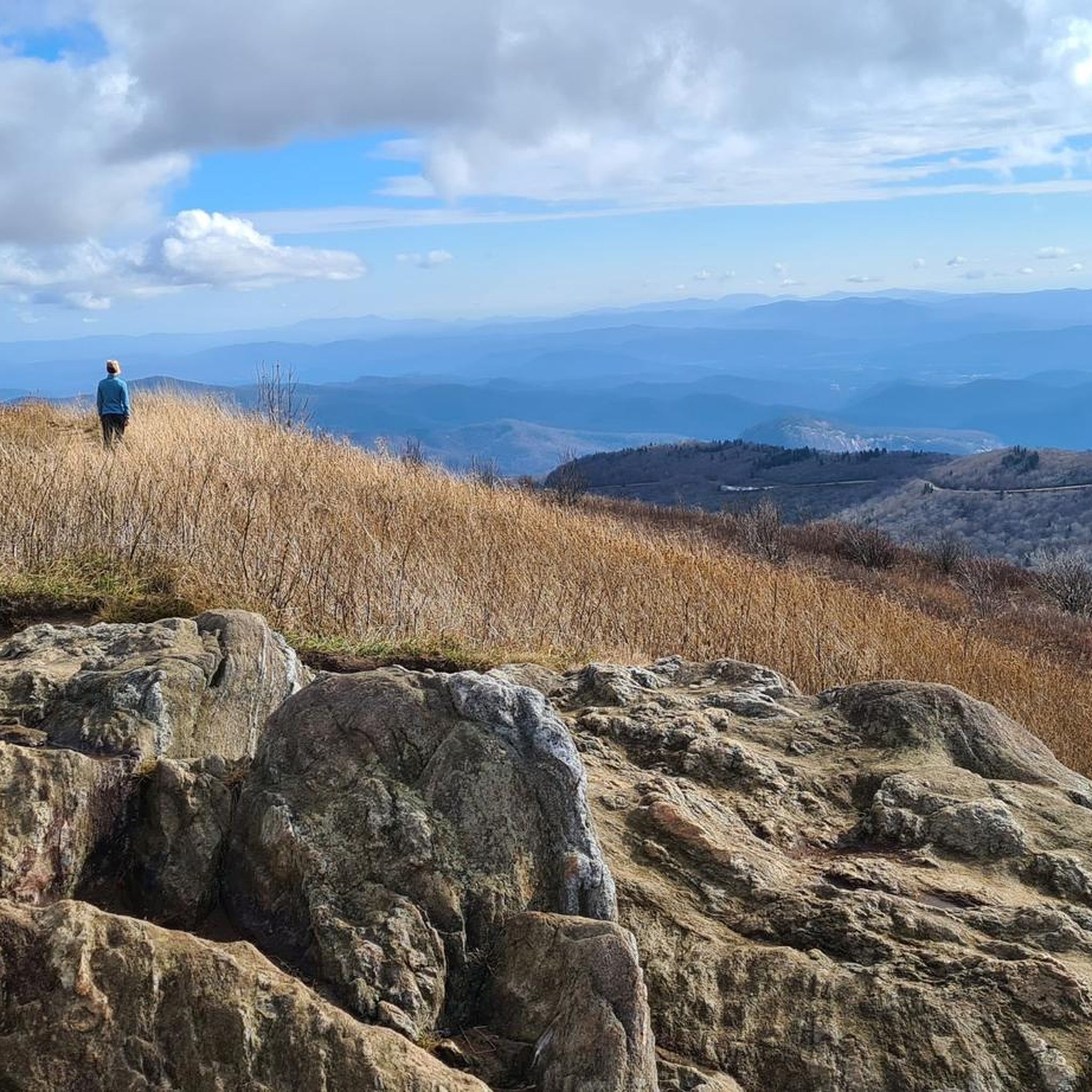
Black Balsam Knob, standing at 6,214 feet, offers amazing views of the surrounding Blue Ridge Mountains and Great Balsam Mountains. This treeless bald is ideal for a short hike and attracts families, day hikers, picnickers, and photographers. You can extend your hike by continuing on the Art Loeb Trail to explore connecting trails for a loop hike. This is the second-highest peak the Great Balsam Mountains has to offer.
0
0

Silvermine Bald is one of the lesser visited lookout vistas on the Art Loeb Trail and Mountains-to-Sea Trail. Sitting just below 6,000 feet itself, Silvermine Bald looks out over many of the bald 6,000+ foot peaks in the area. Multiple grassy meadows in the area also make for great camping spots for overnight backpackers.
0
0

Shining Rock is the largest wilderness area in North Carolina. Many mountains in the Wilderness are higher than 5,000 feet, and three peaks are higher than 6,000 feet. The trailhead is located at the crossing of several hiking trails.
1
0

The summit of Shining rock is a bit brushy, with paths wending their ways to various spots. Several good tent and hammock campsites are about 0.25 miles back toward the Art Loeb trail. There is a small spring a short distance down the Shining Creek trail, though I'm not sure if it is active late in the fall. There is no post marking this trail. There is often a lot of black bear activity along the ridge, and frequent sightings.
0
0
Frequently Asked Questions
What kind of terrain can I expect on running routes in Middle Prong Wilderness?
The Middle Prong Wilderness offers rugged and challenging terrain, characterized by steep ridges and significant elevation changes, ranging from 3,200 to over 6,400 feet. You'll encounter dense hardwood forests, Fraser fir, and red spruce, with trails that are often minimally maintained, featuring rocks, exposed roots, and creek crossings. This makes it ideal for experienced trail runners seeking a strenuous workout.
Are there any waterfalls or scenic water features along the jogging trails?
Yes, the wilderness is known for its abundant waterways. You'll find crystal-clear creeks and numerous waterfalls, such as Big Beartrap Falls, which create picturesque scenes. Some sections even feature inviting swimming holes below cascades, offering refreshing stops during your run. The area is one of the wettest in the continental US, contributing to its lush environment.
How many running routes are available in Middle Prong Wilderness?
There are 6 running routes detailed in this guide for the Middle Prong Wilderness. Most of these are classified as difficult, with one moderate option, providing challenging experiences for trail runners.
What is the difficulty level of most running trails in this area?
The majority of running trails in Middle Prong Wilderness are considered difficult. The rugged terrain, significant elevation changes, and minimally maintained paths require strong orienteering skills and are best suited for experienced trail runners.
Can I find solitude and observe wildlife while jogging here?
Absolutely. As a federally designated wilderness area, Middle Prong is managed to minimize human presence, offering a peaceful and secluded experience. You can enjoy solitude and potentially observe diverse wildlife, including black bears, bobcats, white-tailed deer, opossums, and raccoons. It's also considered prime bird-watching territory.
Are there any loop running routes in Middle Prong Wilderness?
Yes, several loop options are available for runners. For example, the Sam Knob – Devil's Courthouse Summit loop from Black Balsam Knob is a popular 9.9-mile difficult route. Another challenging loop is the Black Balsam Knob – Tennent Mountain summit loop from Seniard Mountain, spanning 10.4 miles.
What kind of natural features or landmarks can I expect to see on the trails?
You'll encounter prominent peaks like Balsam Knob, Richland Balsam, and Mount Hardy, offering significant elevation changes and panoramic views. The trails wind through dense forests of towering hardwoods, Fraser fir, and red spruce, interspersed with rhododendrons and vibrant wildflowers. High-elevation forests, grass, and heath balds also contribute to the varied scenery.
What do other runners enjoy most about the Middle Prong Wilderness trails?
Runners using komoot often praise the challenging nature of the trails and the stunning natural beauty. The significant elevation gains, rugged terrain, and the opportunity for solitude amidst dense forests and numerous waterfalls are frequently highlighted as key attractions.
Are there any specific trails that follow old railroad beds?
Yes, some sections of trails within the Middle Prong Wilderness follow old railroad beds. These might offer a slightly less technical surface compared to the more rugged, minimally maintained paths, providing a different running experience.
Is the Mountains-to-Sea Trail accessible from Middle Prong Wilderness?
Yes, the Mountains-to-Sea Trail (MST) skirts the wilderness boundary and passes through the area. This offers opportunities for experienced runners to connect to a longer, more extensive route for exploration.
What should I be aware of regarding trail maintenance and signage?
Trails in Middle Prong Wilderness are generally rugged and minimally maintained. They often lack clear signage and can be unmarked, requiring strong orienteering skills. Be prepared for natural obstacles like rocks, exposed roots, and creek crossings.
Are there any particularly long or challenging running routes in the area?
For those seeking a significant challenge, the Dog Loser Knob – Old Butt Knob loop from Shining Creek Trailhead is a notable option. This difficult route spans 16.8 miles (27.1 km) and leads through dense forests and rugged ridges, typically taking over 4 hours to complete.
Most popular routes in Middle Prong Wilderness

Get inspired with the komoot mobile app


Explore more
Browse the best Running Trails & Routes in other regions.
