The best road cycling routes in Lone Peak Wilderness
4.6
(27)
1,905
riders
61
rides
Road cycling routes in Lone Peak Wilderness are found in the scenic canyons and areas bordering the designated wilderness, as cycling is prohibited within its boundaries. The region features dramatic geology with high peaks and narrow canyons, offering a rugged backdrop for rides. Paved roads like State Highway Route 92 along American Fork Canyon and State Highway Route 210 along Little Cottonwood Creek Canyon provide access to trailheads and offer challenging climbs and scenic views. The landscape includes a mix…
Last updated: October 15, 2026
5.0
(1)
29
riders
28.4km
01:15
150m
150m
Easy road ride. Great for any fitness level. Mostly well-paved surfaces and easy to ride.
4.0
(1)
6
riders
44.6km
02:13
580m
580m
Moderate road ride. Good fitness required. Some segments of this route may be unpaved and difficult to ride.

12
riders
Moderate road ride. Good fitness required. Mostly well-paved surfaces and easy to ride.
14
riders
54.0km
02:48
870m
870m
Moderate road ride. Good fitness required. Mostly well-paved surfaces and easy to ride.
5.0
(5)
49
riders
23.6km
00:56
50m
50m
Easy road ride. Great for any fitness level. Mostly well-paved surfaces and easy to ride.
Get access to more routes and recommendations from other explorers.
Already have an account?
Our route recommendations are based on thousands of hikes, rides, and runs completed by other people on komoot.
Start today with a free account
Your next adventure awaits.
Popular around Lone Peak Wilderness
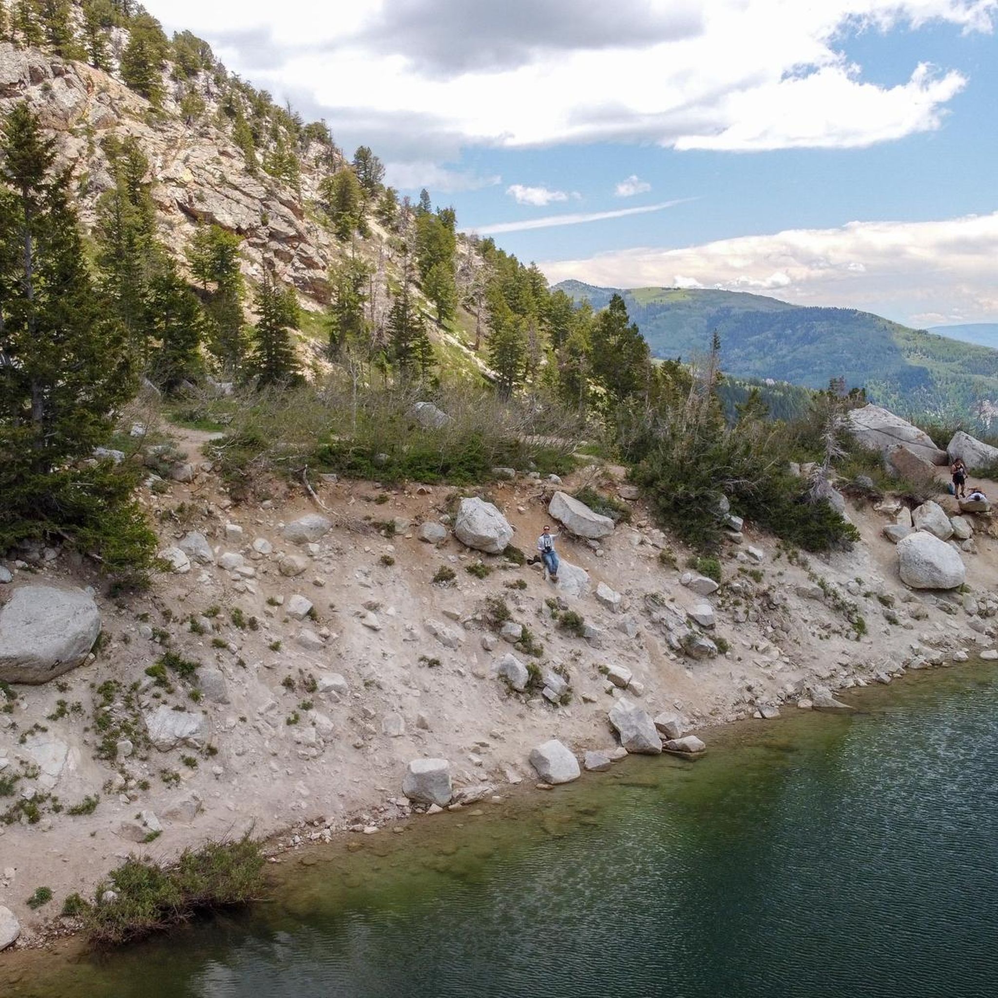
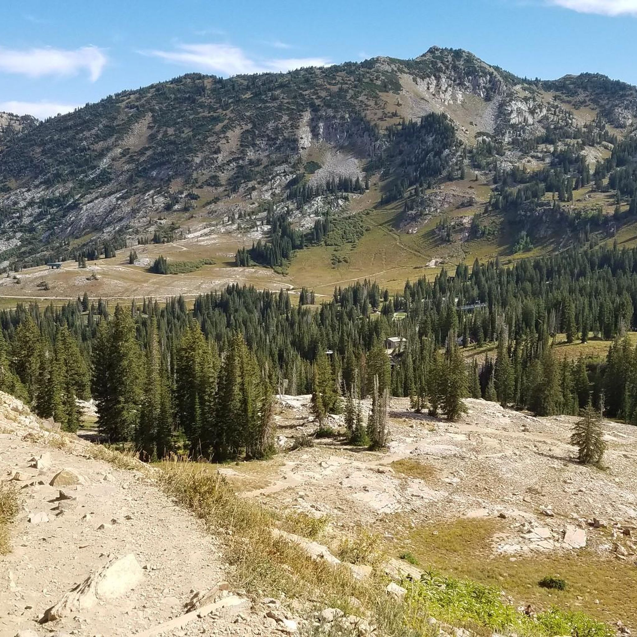
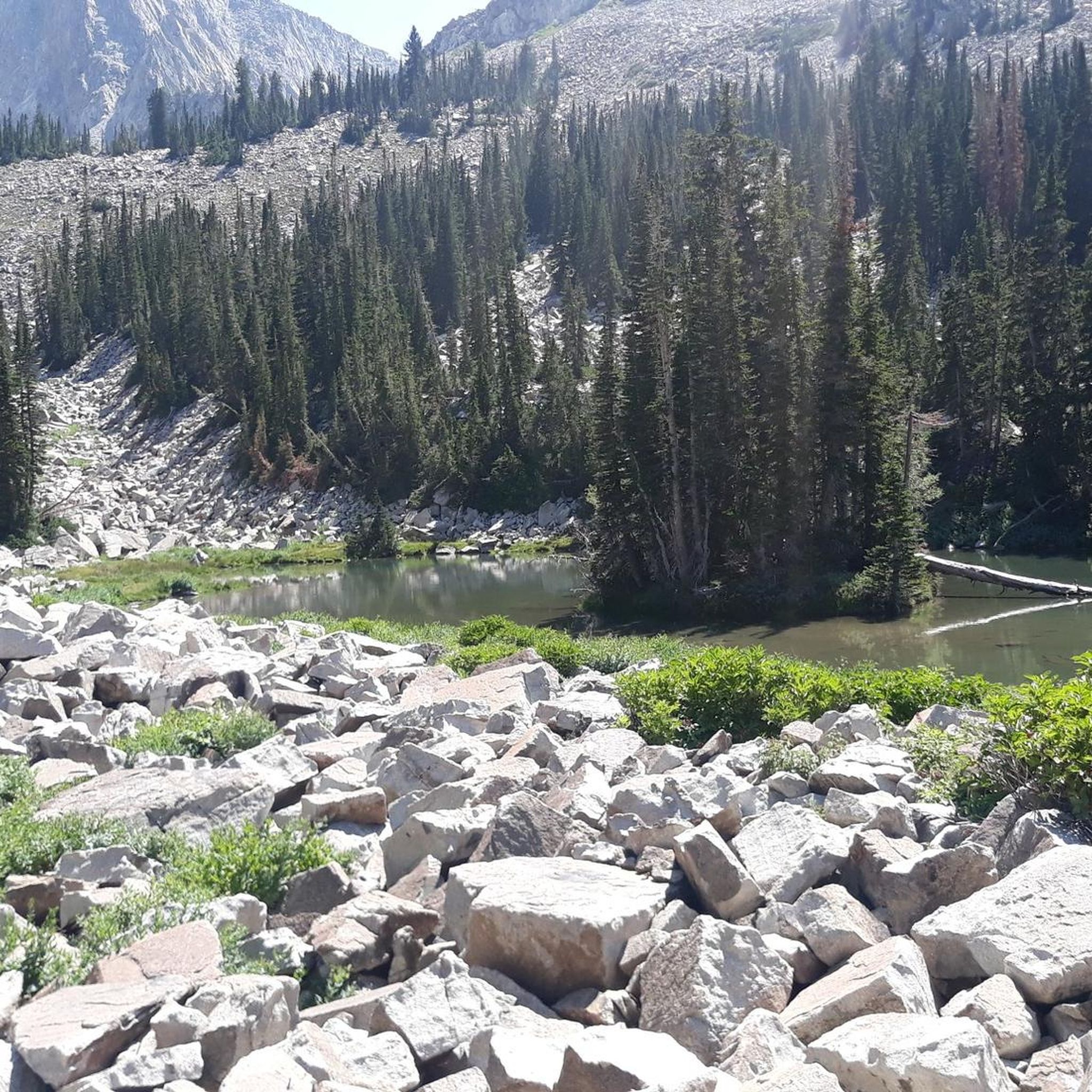
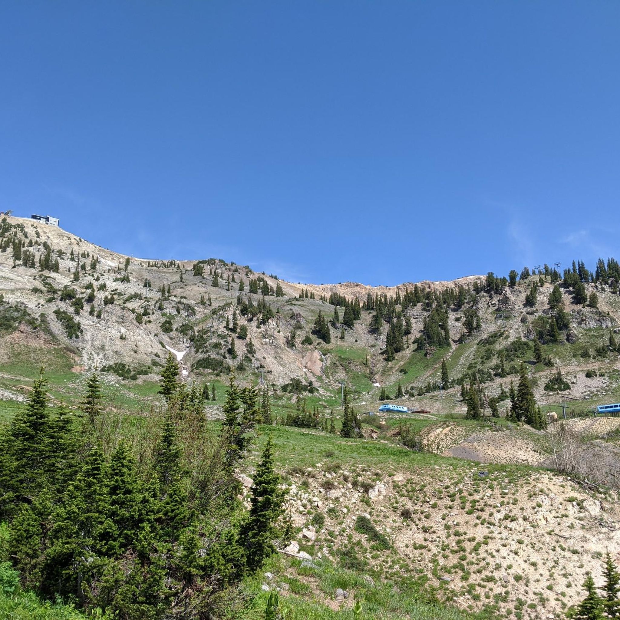
Tips from the Community

Few hikes from this Trailhead. The most popular one is the Lower Bells canyon
0
0

Parry Farms Park is a nice place to chill and can serve as the final destination for your ride—after this point, you’ll need to head back along the bike path to the right. Public toilets are available here.
1
0

This bright red barn is a standout amongst the beautiful mountain backdrop. It's one of many scenic features along this trail and is worthy of a stop to take a great photo!
0
0
Beautiful 18-hole course with a traditional, flat style. As you ride by, you can enjoy stunning views of the Wasatch Mountains.
0
0

The valley views from Murdock Trail are just remarkable, especially at sunrise/sunset!!
0
0

For me, this is the maximum or final point of the route. After this point, you will have to go back along the bike path that goes to the right.
0
0
The Galena/Soónkahni Preserve is a beautiful 250-acre property in Salt Lake County. It is adjacent to the stunning Jordan River and boasts various riparian and wetland habitats with the incredible backdrop of the mountains. The preserve also features an archaeological site with ancient dwellings and artifacts that are among the oldest in Utah. The Jordan River Parkway Trail runs through the property, offering breathtaking views for an ideal spot for a long ride.
0
0
Experience breathtaking vistas of Bell Canyon from Sunrise Point, a picturesque overlook nestled at the end of Sunrise Point Trail. Ideal for early morning or twilight bike rides, this vantage point offers unparalleled views of the canyon's stunning beauty.
0
0
Frequently Asked Questions
Can I road cycle directly within the Lone Peak Wilderness Area?
No, road cycling, along with other motorized vehicles and equipment, is prohibited within the designated Lone Peak Wilderness Area itself to preserve its natural environment. However, the canyons and areas bordering the wilderness offer excellent paved road cycling opportunities.
How many road cycling routes are available in the Lone Peak Wilderness region?
There are over 50 road cycling routes in the region surrounding Lone Peak Wilderness, catering to various skill levels. These include 25 easy, 25 moderate, and 5 difficult routes.
What kind of terrain can I expect on road cycling routes near Lone Peak Wilderness?
The routes are characterized by dramatic geology, high mountain backdrops, and varied rock formations, including sedimentary, metamorphic, and igneous types. You'll find challenging climbs and scenic views along paved roads in canyons like American Fork Canyon and Little Cottonwood Creek Canyon.
Are there any beginner-friendly road cycling routes in the area?
Yes, there are several beginner-friendly options. An easy route popular with local road cyclists is the Highland Glen Park Lake – Murdock Canal Trail loop from Lambert Park, which offers a more relaxed ride around local parks and along a canal trail.
What are some challenging road cycling routes for experienced riders?
For experienced riders seeking a challenge, routes like the Upper Pond – Tibble Fork Reservoir loop from Lambert Park offer significant elevation gain through varied terrain. Another option is the Bells Canyon Granite Trailhead – Sunrise Point loop from Granite, which leads through canyon landscapes with notable climbs.
What is the best season for road biking near Lone Peak Wilderness?
The best season for road biking in the region is generally from spring to fall. Snow often persists in higher elevations until mid-summer, so checking local weather and road conditions is advisable, especially for routes that climb into the canyons.
Are there any scenic viewpoints or attractions along the road cycling routes?
While cycling is outside the wilderness, the surrounding canyons offer stunning views of the high, rigid peaks like Lone Peak and Little Matterhorn. You'll also encounter varied vegetation, from mountain brush to fir and aspen stands. Rocky Mouth Falls is another natural attraction easily accessible near the wilderness boundary.
What do other road cyclists enjoy most about road cycling in the Lone Peak Wilderness region?
The area is highly rated by the komoot community, with an average score of 4.3 stars. Reviewers often praise the dramatic canyon landscapes, the challenging climbs, and the scenic beauty of the high mountain backdrops that define these routes.
Are there loop road bike trails available?
Yes, many of the road cycling routes in the area are designed as loops. Examples include the Upper Pond – Tibble Fork Reservoir loop from Lambert Park and the Highland Glen Park Lake – Murdock Canal Trail loop from Lambert Park, offering convenient circular rides.
Where can I find parking for road cycling trailheads?
Many routes start from established parks or trailheads that typically offer parking. For instance, routes often begin from locations like Lambert Park or near the Bells Canyon Granite Trailhead. Specific parking availability can vary, so it's always good to check the route details on komoot before you go.
What gear is recommended for road biking in this region?
Given the varied terrain and potential for significant elevation gain, a well-maintained road bike with appropriate gearing for climbing is recommended. Helmets are essential, and carrying water, snacks, and basic repair tools is always wise. Layered clothing is also advisable due to potential temperature changes, especially in the canyons.
Are there any specific regulations or permits needed for road cycling on the roads bordering Lone Peak Wilderness?
While no permits are needed for cycling on public roads like State Highway Route 92 (American Fork Canyon) or State Highway Route 210 (Little Cottonwood Creek Canyon), it's crucial to remember that cycling is strictly prohibited within the designated wilderness area itself. Always adhere to local traffic laws and respect wilderness boundaries.
Most popular routes in Lone Peak Wilderness

Get inspired with the komoot mobile app


Explore more
Browse the best Road cycling routes in other regions.
