The best cycling routes in Mount Massive Wilderness
5.0
(4)
178
riders
3
rides
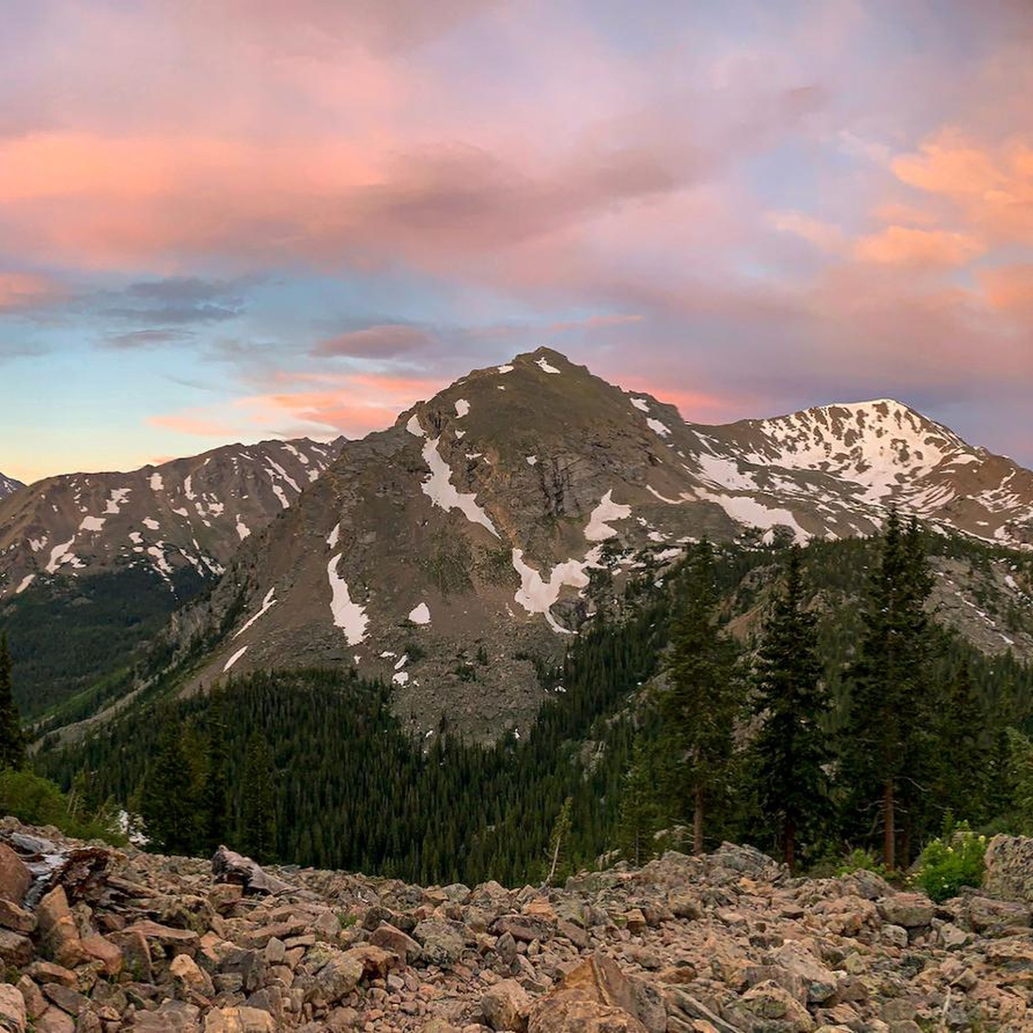
Touring cycling in Mount Massive Wilderness offers routes through high-altitude terrain, featuring prominent peaks, alpine lakes, and historic mining landscapes. The region is characterized by significant elevation changes, with routes often traversing mountain passes and offering expansive views. Cyclists can expect a mix of paved and unpaved surfaces, winding through forests and open areas.
Best touring cycling routes in Mount Massive Wilderness
- The most popular touring cycling route is Shimmering Point overlook – Lookout over Turquoise Lake loop from Sugarloaf…
Last updated: September 28, 2026
6
riders
33.2km
02:25
500m
500m
Hard bike ride. Very good fitness required. You may need to push your bike for some segments of this route.
5.0
(2)
28
riders
24.0km
01:41
430m
430m
Moderate bike ride. Good fitness required. Mostly paved surfaces. Suitable for all skill levels.

8
riders
19.0km
01:26
480m
480m
Hard bike ride. Very good fitness required. Mostly paved surfaces. Suitable for all skill levels.
5.0
(3)
138
riders
18.7km
01:11
240m
240m
Moderate bike ride. Good fitness required. Mostly paved surfaces. Suitable for all skill levels.
Our route recommendations are based on thousands of hikes, rides, and runs completed by other people on komoot.
Start today with a free account
Your next adventure awaits.
Popular around Mount Massive Wilderness

Tips from the Community

The Boulevard is a favoured dirt road among cyclists and runners. Serving as the start and finish of the Leadville 100 course, it offers gentle inclines and declines throughout, making it accessible and enjoyable for riders of varying skill levels.
0
0

Turquoise Lake is an 1,800-acre alpine lake five miles outside Leadville. Named for the turquoise mine that was once there, it's now a recreational destination. The land surrounding Turquoise Lake is lined with trails and low trafficked paved roads. The lake itself offers boating, fishing and windsurfing.
0
0

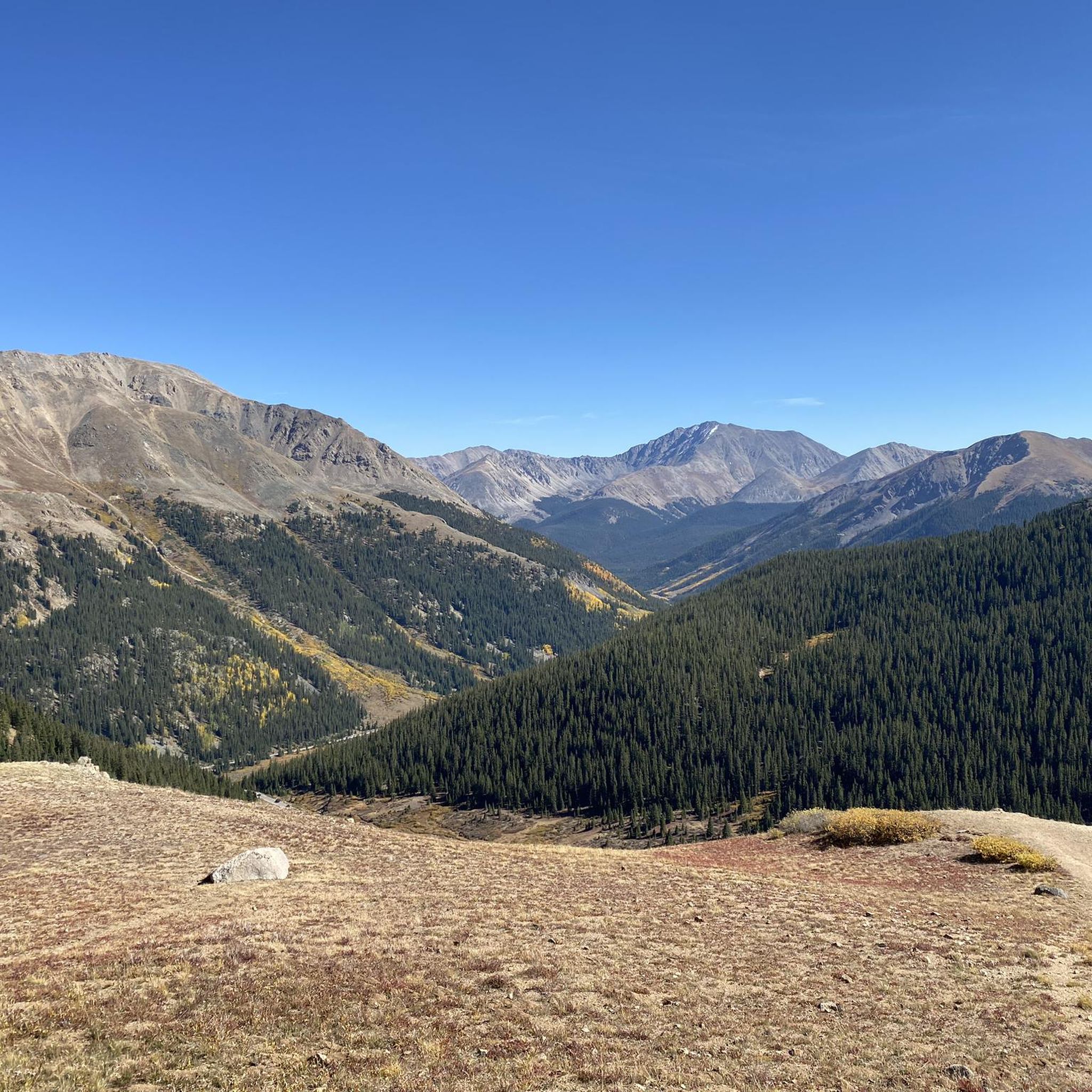
At over 12,000 feet of elevation, Independence Pass is the second-highest pass of a paved road in Colorado. This point offers a nice break with a viewpoint of the pass and the surrounding mountains right off CO 82.
0
0
The Town of Independence has had many names over the years, but the name of Independence has stuck around the longest. This old mining village is full of history and used to produce hundreds of thousands of dollars in silver in the late 1800s.
0
0
Turqoise Lake is an 1,800-acre alpine lake five miles outside Leadville. Named for the turquoise mine that was once there, it's now a recreational destination. The land surrounding Turquoise Lake is lined with trails and low trafficked paved roads. The lake itself offers boating, fishing and windsurfing.
0
0
Independence Pass sits at an elevation of 12,095 feet and connects the towns of Aspen & Twin Lakes. This is a popular bike route, however there can be heavy traffic on summer weekends, so weekday rides are ideal.
0
0
Turqoise Lake is an 1,800-acre alpine lake five miles outside Leadville. Named for the turquoise mine that was once there, it's now a recreational destination. The land surrounding Turquoise Lake is lined with trails and low trafficked paved roads. The lake itself offers boating, fishing and windsurfing.
0
0
The Town of Independence has had many names over the years, but the name of Independence has stuck around the longest. This old mining village is full of history and used to produce hundreds of thousands of dollars in silver in the late 1800s.
0
0
Frequently Asked Questions
What is the general difficulty level of touring cycling routes in Mount Massive Wilderness?
Touring cycling in Mount Massive Wilderness offers a mix of challenges. You'll find routes with significant elevation changes, traversing mountain passes. The guide includes both moderate options, like the Turquoise Lake loop, and more difficult climbs such as Shimmering Point overlook – Lookout over Turquoise Lake loop from Sugarloaf Dam and Independence Pass – Independence Pass Viewpoint loop from Lost Man.
Are there family-friendly touring cycling routes in Mount Massive Wilderness?
While many routes feature significant elevation, the Mineral Belt Trail is a moderate option that is generally suitable for families. It's an 11.6-mile (18.7 km) path through historic mining areas and forests, with less extreme elevation changes compared to other routes in the region.
What is the best time of year for touring cycling in Mount Massive Wilderness?
The best time for touring cycling in Mount Massive Wilderness is typically from late spring through early fall (June to September). During these months, the high-altitude passes are usually clear of snow, and the weather is more predictable. Always check local conditions and forecasts before heading out, as mountain weather can change rapidly.
What kind of weather conditions can I expect while touring cycling in Mount Massive Wilderness?
Due to its high-altitude nature, Mount Massive Wilderness can experience varied weather. Expect cool temperatures, even in summer, especially at higher elevations. Afternoon thunderstorms are common during the summer months, so it's wise to start early. Be prepared for sun exposure, wind, and sudden drops in temperature.
Are there many circular touring cycling routes in Mount Massive Wilderness?
Yes, several popular touring cycling routes in Mount Massive Wilderness are loops, allowing you to start and end at the same point. Examples include the scenic Turquoise Lake loop and the more challenging Shimmering Point overlook – Lookout over Turquoise Lake loop from Sugarloaf Dam.
Can I expect to see wildlife while touring cycling in Mount Massive Wilderness?
Mount Massive Wilderness is home to diverse wildlife. Cyclists often report sightings of deer, elk, marmots, and various bird species. Keep an eye out, especially during dawn and dusk, and maintain a respectful distance from all animals.
Are there places to stop for refreshments along the touring cycling routes?
While the wilderness itself is remote, routes often pass near or through small towns like Leadville, which offer amenities such as cafes, restaurants, and shops. For example, the Mineral Belt Trail is easily accessible from Leadville, providing opportunities for refreshments. Always carry sufficient water and snacks, especially on longer or more remote sections.
How does touring cycling in Mount Massive Wilderness compare to nearby regions like Collegiate Peaks Wilderness?
Both Mount Massive Wilderness and Collegiate Peaks Wilderness offer high-altitude touring cycling with stunning mountain views. Mount Massive Wilderness is particularly known for its prominent peaks, alpine lakes, and historic mining landscapes, often featuring a mix of paved and unpaved surfaces. Collegiate Peaks Wilderness also provides challenging climbs and scenic beauty, but the specific character of the trails and historical context might differ. Both regions demand good physical condition and preparedness for mountain conditions.
Are there touring cycling routes suitable for beginners in Mount Massive Wilderness?
While many routes involve significant elevation, beginners can find suitable options. The Mineral Belt Trail is a good starting point, offering a moderate, relatively flat experience through scenic areas. The Turquoise Lake loop is also a moderate option, though it has more elevation gain than the Mineral Belt Trail.
Which touring cycling routes are recommended for experienced cyclists seeking a challenge?
Experienced touring cyclists looking for a challenge will appreciate routes with significant climbs and descents. The Shimmering Point overlook – Lookout over Turquoise Lake loop from Sugarloaf Dam and the Printer Boy Hill – Rock Hill loop from Leadville are both rated as difficult, featuring substantial elevation gains and rewarding views.
What do other touring cyclists enjoy the most about touring cycling in Mount Massive Wilderness?
The area is highly rated by the komoot community, with an average score of 5.0 stars. Reviewers often praise the expansive views, the challenge of the high-altitude terrain, and the beauty of the alpine lakes and historic mining landscapes. The variety of routes, from moderate loops to difficult climbs, is also frequently highlighted.

Get inspired with the komoot mobile app


Explore more
Browse the best Cycling routes in other regions.
