The best running trails in Cottonwood Forest Wilderness
20
runners
7
runs
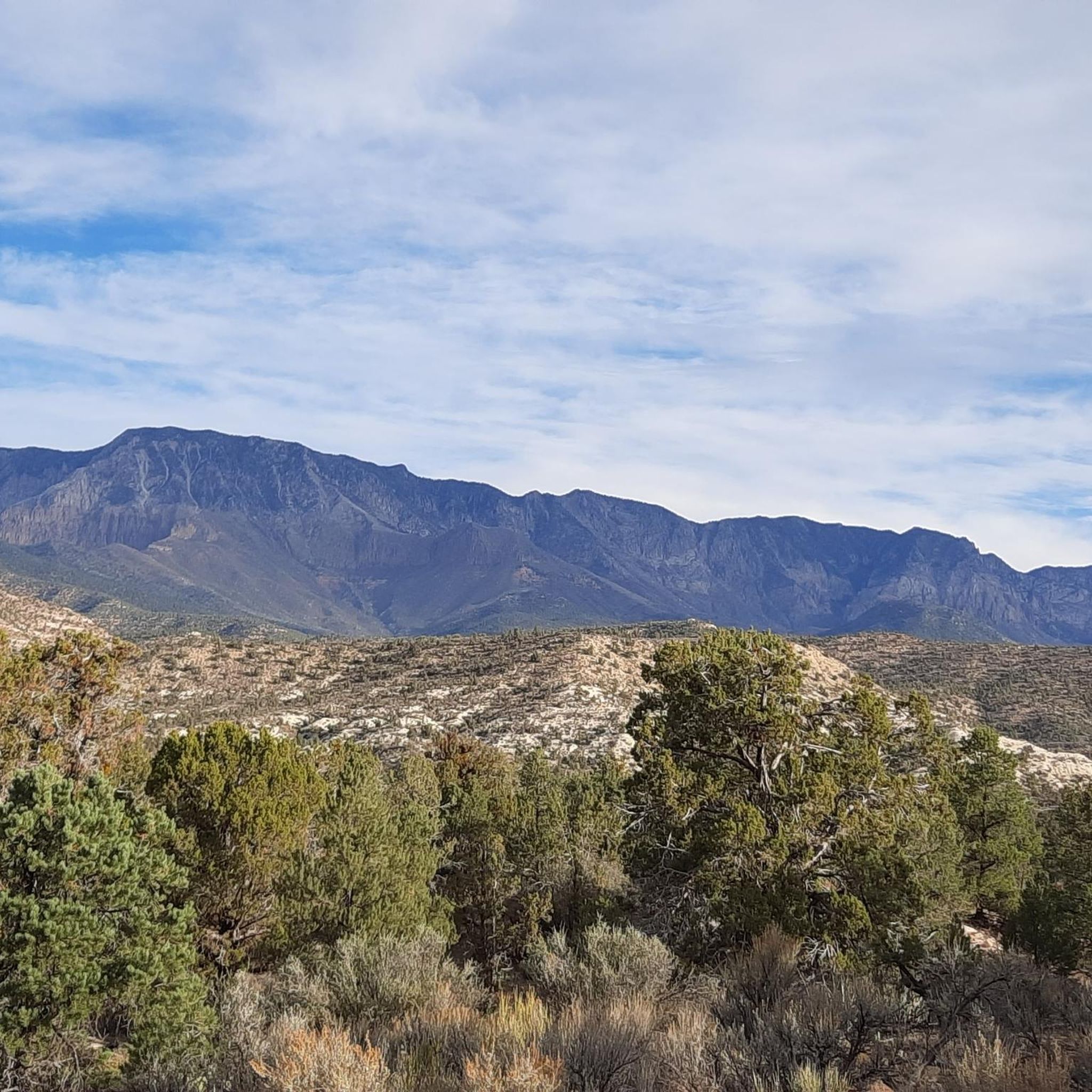
Jogging in Cottonwood Forest Wilderness offers routes through dramatic red rock canyons and forested plateaus, characterized by soaring cliff walls and unique sandstone formations. The terrain includes varied elevations, from gentle slopes to more challenging ascents, providing a diverse experience for runners. Intermittent surface water and seasonal flows can be found in the canyon bottoms, supporting vibrant plant life.
Best jogging routes in Cottonwood Forest Wilderness
- The most popular jogging route is Red Reef and Prospector Trail Loop, a…
Last updated: May 8, 2026
2
runners
21.0km
02:38
310m
310m
Hard run. Very good fitness required. Mostly accessible paths. Some sure footedness required.
8
runners
8.90km
01:03
110m
110m
Moderate run. Good fitness required. Mostly paved surfaces. Suitable for all skill levels.

Sign up for free
2
runners
10.6km
01:19
140m
140m
Moderate run. Good fitness required. Mostly paved surfaces. Suitable for all skill levels.
2
runners
5.09km
00:38
80m
80m
Moderate run. Good fitness required. Mostly paved surfaces. Suitable for all skill levels.
1
runners
8.60km
01:09
260m
260m
Moderate run. Good fitness required. Mostly paved surfaces. Suitable for all skill levels.
Get access to more routes and recommendations from other explorers.
Sign up for free
Already have an account?
Our route recommendations are based on thousands of hikes, rides, and runs completed by other people on komoot.
Start today with a free account
Your next adventure awaits.
Login or Signup
Popular around Cottonwood Forest Wilderness
Tips from the Community

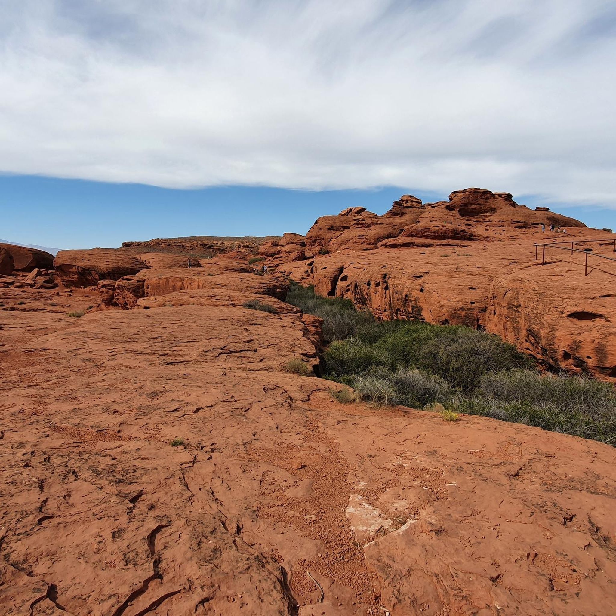
Orange and white-colored sandstone formations that overlook Cottonwood Canyon
1
0
Shortly outside of the parking lot, you can see views of the red rock cliffs and ruins of old buildings.
0
0
Frequently Asked Questions
Is the Cottonwood Forest Wilderness suitable for all types of runners?
The Cottonwood Forest Wilderness itself is a rugged, undeveloped area with no designated system trails and steep terrain, making it challenging for conventional jogging. However, the broader Cottonwood region, which includes areas like Cottonwood Canyon Wilderness, offers a variety of running routes suitable for different skill levels, from moderate to difficult. This guide focuses on those more accessible routes within the wider Cottonwood landscape.
What kind of landscape can I expect on running routes in the Cottonwood region?
Runners in the Cottonwood region can expect dramatic red rock canyons, soaring cliff walls, and forested plateaus, reminiscent of Zion National Park. The terrain features distinctive sandstone formations, with intermittent surface water and seasonal flows in canyon bottoms supporting vibrant plant life. You'll find a mix of elevations, from gentle slopes to more challenging ascents.
How many running routes are available in the broader Cottonwood area?
This guide features 8 running routes in the broader Cottonwood area, ranging in difficulty from easy to difficult. These routes showcase the diverse landscapes of the region, from scenic loops to trails with significant elevation changes.
Are there running routes for beginners in the Cottonwood area?
Yes, there is at least one easy running route available in the Cottonwood area. While many routes are moderate to difficult, beginners can find paths to enjoy the scenic environment. Always check the route details for elevation and terrain to ensure it matches your fitness level.
What natural features or wildlife might I encounter while running?
The Cottonwood region is rich in natural beauty. You might see unique flora like maidenhair fern, scarlet monkeyflower, and columbine growing in seeps along canyon walls. The sandstone cliffs provide nesting sites for hawks, falcons, and eagles, and you might even spot deer or cougars in the canyon bottoms. The dramatic red rock canyons and distinctive sandstone formations are constant visual highlights.
Are there any circular running routes in the Cottonwood region?
Yes, several routes in the Cottonwood region are circular. For example, the Sandstone Mountain and Sidewinder Loop is a moderate 5.3-mile (8.6 km) route that offers a great loop experience through scenic landscapes.
Is parking available near the running trailheads?
Parking availability can vary by trailhead in the Cottonwood region. While specific parking details for each route are best checked on the individual komoot tour page, many trailheads in such areas typically offer designated parking areas. It's advisable to arrive early, especially during peak seasons, to secure a spot.
Can I reach these running routes using public transport?
Public transport options directly to the trailheads within the Cottonwood Forest Wilderness and surrounding areas are generally limited due to their remote nature. Access is primarily by private vehicle. For areas like Big Cottonwood Canyon, which is more developed, you might find some public transport services, but for most running routes, a car is recommended.
Are the running routes in the Cottonwood area family-friendly?
While the Cottonwood Forest Wilderness itself is rugged, some of the easier and moderate routes in the broader Cottonwood region can be suitable for families, depending on the children's age and experience. Always review the route's distance, elevation gain, and difficulty before heading out with family members.
Are dogs allowed on the running trails?
Regulations regarding dogs can vary significantly between wilderness areas, national parks, and other public lands in Utah. It's crucial to check the specific rules for each trail or area you plan to visit. Some areas may require dogs to be on a leash, while others may prohibit them entirely to protect wildlife and natural habitats.
When is the best time of year to go running in the Cottonwood region?
The best time to go running in the Cottonwood region is typically during spring and fall when temperatures are milder. Summers can be very hot, especially in the exposed red rock canyons, making early morning or late evening runs preferable. Winters can bring snow and ice, particularly at higher elevations, which can make trails challenging or inaccessible.
Can you recommend a moderate running route with scenic views?
For a moderate running experience with scenic views, consider the Running loop from Razor Ridge Park. This 5.1-mile (8.2 km) route offers a pleasant run with moderate elevation changes, allowing you to enjoy the surrounding landscape without extreme difficulty.

Get inspired with the komoot mobile app


Explore more
Browse the best Running Trails & Routes in other regions.
