The best MTB trails in Indian Peaks Wilderness
4.9
(7)
837
riders
45
rides
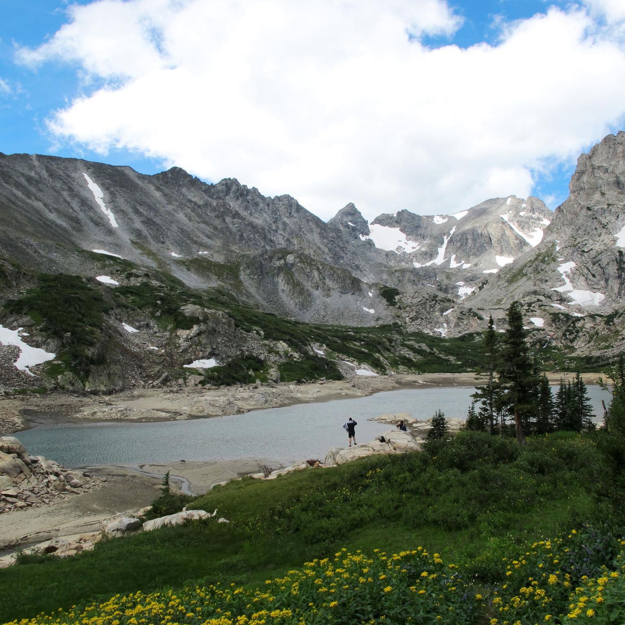
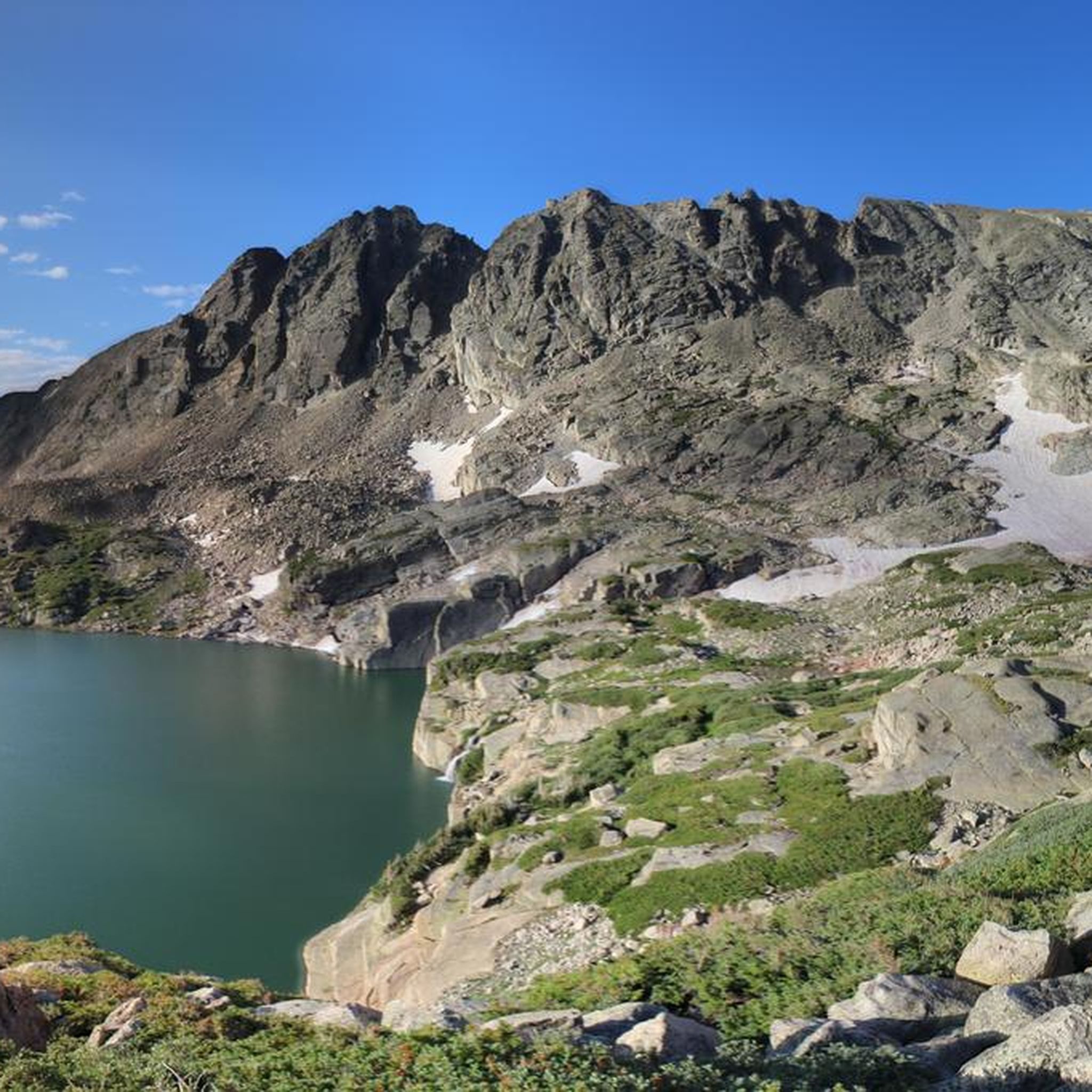
Mountain biking near Indian Peaks Wilderness offers diverse terrain in the surrounding Arapaho and Roosevelt National Forests, as mountain biking is prohibited within the wilderness area itself. The region features subalpine forests, high mountain passes, and views of glacier-carved lakes and prominent peaks. Riders can explore routes that traverse varying elevations, providing both challenging climbs and scenic descents. The landscape is characterized by a mix of dirt roads and singletrack trails, catering to different skill levels.
Best mountain bike trails…
Last updated: May 16, 2026
5
riders
30.5km
02:56
730m
730m
Hard mountain bike ride. Good fitness required. Advanced riding skills necessary. Some portions of the route may require you to push your bike.
5
riders
16.4km
01:40
370m
370m
Embark on the Coney Buchanan loop for a moderate mountain biking adventure spanning 10.2 miles (16.4 km) with a significant 1220 feet (372 metres) of elevation gain. You will begin…

Sign up for free
18
riders
44.2km
04:26
850m
850m
Prepare for a demanding mountain biking adventure on Rollins Pass Road, a difficult 27.5 miles (44.2 km) route that climbs through the Arapaho and Roosevelt National Forests. As you ascend,…
5.0
(1)
13
riders
29.0km
03:01
700m
700m
Get ready for a moderate mountain biking adventure on the Sourdough and South Saint Vrain Loop, an 18.0 miles (29.0 km) route that promises a rewarding 3 hours of riding.…
4
riders
37.0km
03:35
810m
810m
Embark on the Switzerland Trail and Gold Hill Loop, a moderate mountain biking adventure spanning 23.0 miles (37.0 km) with a significant 2649 feet (807 metres) of elevation gain. This…
Get access to more routes and recommendations from other explorers.
Sign up for free
Already have an account?
Our route recommendations are based on thousands of hikes, rides, and runs completed by other people on komoot.
Start today with a free account
Your next adventure awaits.
Login or Signup

Tips from the Community

Built in 1905 and at an elevation of 11,600 feet, this is the remnants of the old train trestle that connected Denver to Winter Park. The tracks were removed in 1938 and the bridge was used for automobile traffic until 1955. These days it can only be accessed by hiking or biking.
0
0

There is parking along the dirt road by the trailhead. The trail itself is steep and challenging, but runnable if you are prepared for the altitude and the vert. You pass a number of scenic waterfalls and bridges on the way up.
0
0
There is a dirt parking lot here with room for around a dozen vehicles. From here you can run, hike or bike on the dense trail system east or west of the highway
0
0
Nederland is an old mining town that is now known as a gateway to outdoor recreation, due to its proximity to Indian Peaks Wilderness, Rocky Mountain National Park and Roosevelt National Forest.
0
0
North Sourdough Trail is pretty technical with roots and rocks. However it is not super steep, so it still makes for a fun ride. Keep an eye out for wildlife, moose frequent this area.
0
0
The trail starts very rough & technical, but it then turns into a smooth flowy trail about half way down. It's also a great trail to fatbike in the winter.
0
0
The Switzerland Trail follows the remains of a narrow gauge railroad, that ran from the 1890's until 1919. The scenery is stunning and the trail is smooth and fast for the most part.
0
0
The Needle's Eye Tunnel was a short high altitude railroad tunnel on the Denver to Salt Lake Railway. It was closed in 1990 due to rock fall.
0
0
Frequently Asked Questions
Can I mountain bike directly within the Indian Peaks Wilderness?
No, mountain biking is prohibited within the designated Indian Peaks Wilderness area itself. This restriction is in place to preserve the pristine nature of the wilderness. However, there are numerous mountain biking opportunities available in the surrounding Arapaho and Roosevelt National Forests, which offer stunning views of the wilderness.
How many mountain bike trails are available near the Indian Peaks Wilderness?
There are over 50 mountain bike routes available in the areas surrounding the Indian Peaks Wilderness. These trails range in difficulty, with 5 easy, 16 moderate, and 29 difficult options to explore.
What kind of terrain can I expect on mountain bike trails near Indian Peaks Wilderness?
The terrain near Indian Peaks Wilderness is diverse, featuring subalpine forests, high mountain passes, and views of glacier-carved lakes and prominent peaks. You'll encounter a mix of dirt roads and singletrack trails, with routes traversing varying elevations that provide both challenging climbs and scenic descents.
Are there any family-friendly mountain bike trails in the area?
Yes, there are several easier routes suitable for families. For example, the Brainard Lake Recreation Area, adjacent to the wilderness, allows cycling on its paved roads and offers access to Red Rock Lake, which can be a good option for a more relaxed ride.
What are some notable natural features or landmarks I might see while mountain biking near Indian Peaks Wilderness?
While mountain biking is outside the wilderness, many trails offer views of its majestic peaks and glacier-carved lakes. You might catch glimpses of prominent peaks like North Arapaho Peak or see beautiful lakes such as Monarch Lake or Isabelle Lake. Some routes also pass by features like Cascade Creek Waterfall.
What is a popular moderate mountain bike route in the region?
A popular moderate route is the Coney Buchanan loop. This 10.2-mile (16.4 km) path typically takes around 1 hour 40 minutes to complete and features varied terrain with views of the surrounding mountains.
Are there any challenging mountain bike trails for experienced riders?
Absolutely. For experienced riders seeking a challenge, the Lost Lake Trailhead – Nederland loop from Eldora is a difficult 18.5-mile (29.9 km) trail with significant elevation gain through forested areas. Another demanding option is Rollins Pass Road, a 27.5-mile (44.2 km) trail leading through high mountain passes.
What do other mountain bikers say about the trails near Indian Peaks Wilderness?
The routes in the Indian Peaks Wilderness area are highly rated by the komoot community, with an average score of 4.9 stars from over 8 reviews. Many riders praise the diverse terrain and the stunning views of the surrounding mountains and wilderness.
Are permits required for mountain biking near Indian Peaks Wilderness?
No specific permits are generally required for mountain biking on the trails in the surrounding National Forests. However, if you plan to engage in other activities like overnight backpacking *within* the Indian Peaks Wilderness, permits are required between June 1st and September 15th, and for large groups year-round.
What is the best time of year to go mountain biking in this region?
The warmer months, typically late spring through early autumn, offer the best conditions for mountain biking. During this time, trails are generally clear of snow, and the subalpine forests are vibrant with wildflowers. Always check local trail conditions before heading out, especially in shoulder seasons.
Are there any loop trails available for mountain biking?
Yes, there are several loop options. Besides the Coney Buchanan loop, you can also explore the Sourdough and South Saint Vrain Loop, which is a moderate 18-mile (29 km) ride, or the Switzerland Trail and Gold Hill Loop, a moderate 23-mile (37 km) route.
Most popular routes in Indian Peaks Wilderness
Most popular attractions in Indian Peaks Wilderness

Get inspired with the komoot mobile app


Explore more
Browse the best MTB trails in other regions.
