The best walks and hikes in Sequoia-Kings Canyon Wilderness
4.7
(1123)
13,876
hikers
31
hikes
Hikes in Sequoia-Kings Canyon Wilderness navigate a landscape of giant sequoia groves, deep canyons, and granite domes within the southern Sierra Nevada mountains. The region's trail network follows rivers like the Kings and Kaweah, and ascends to viewpoints overlooking the Great Western Divide. The terrain varies from paved paths in the Giant Forest to more remote, rugged trails in areas like Redwood Canyon.
Best hiking trails in Sequoia-Kings Canyon Wilderness
- The most popular hiking route is Marble Falls — Sequoia…
Last updated: September 27, 2026
5.0
(3)
119
hikers
14.0km
04:30
60m
1,600m
Moderate hike. Good fitness required. Easily-accessible paths. Suitable for all skill levels.
9
hikers
3.70km
01:09
200m
40m
Easy hike. Great for any fitness level. Easily-accessible paths. Suitable for all skill levels.

16.2km
05:00
80m
1,490m
Moderate hike. Good fitness required. Easily-accessible paths. Suitable for all skill levels.
1
hikers
2.63km
00:46
0m
190m
Easy hike. Great for any fitness level. Easily-accessible paths. Suitable for all skill levels.
4.93km
01:30
230m
50m
Easy hike. Great for any fitness level. Easily-accessible paths. Suitable for all skill levels.
Get access to more routes and recommendations from other explorers.
Already have an account?
Our route recommendations are based on thousands of hikes, rides, and runs completed by other people on komoot.
Start today with a free account
Your next adventure awaits.
Popular around Sequoia-Kings Canyon Wilderness

John Muir Trail – Along the legendary trail through the magical Sierra Nevada

The Sierra High Route — Solitude in California's alpine country

Pacific Crest Trail from Mexico to Canada – 4,200 kilometres of wilderness
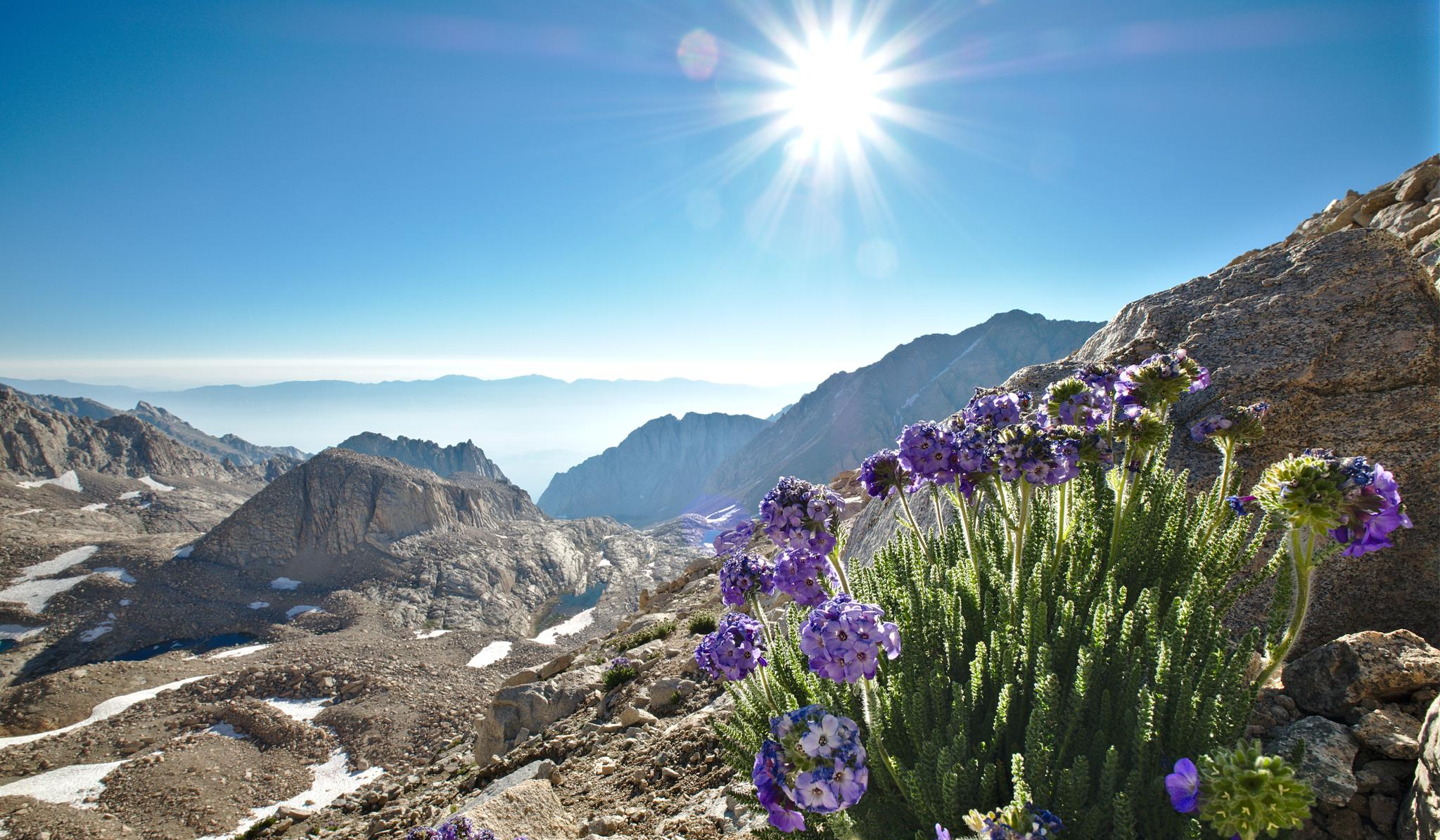
The High Sierra Trail — The Ultimate Sierra Experience
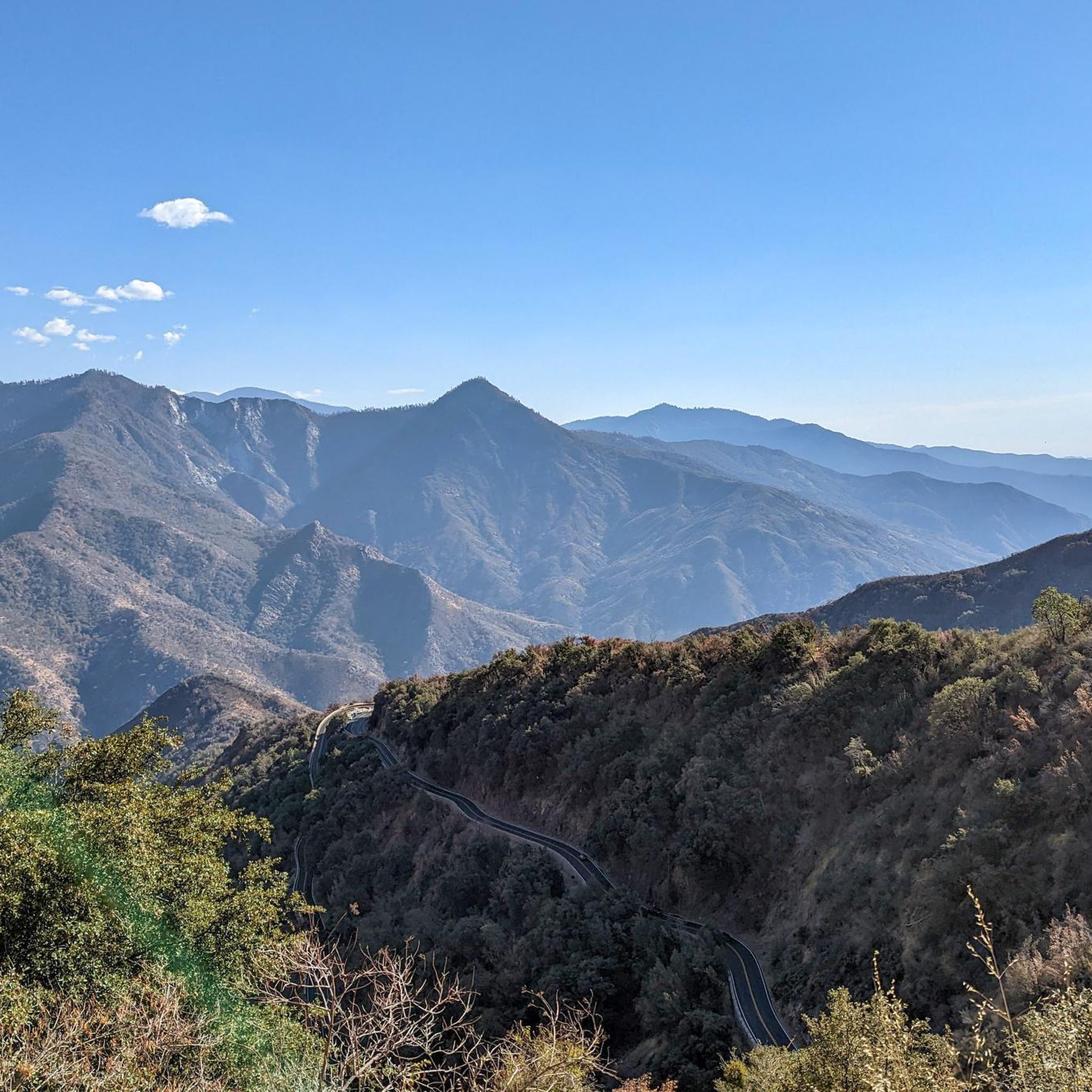
Cycling in Sequoia-Kings Canyon Wilderness
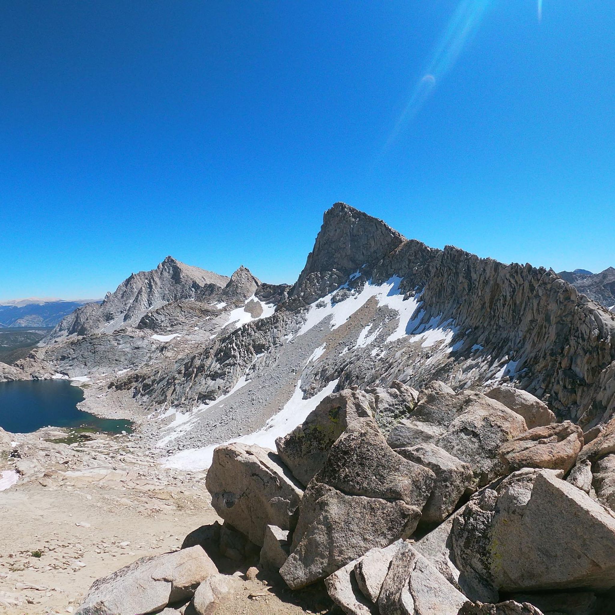
Running Trails in Sequoia-Kings Canyon Wilderness
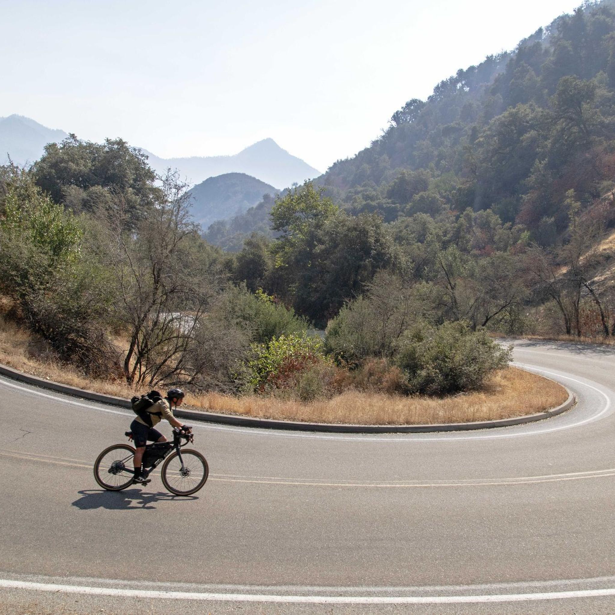
Road Cycling Routes in Sequoia-Kings Canyon Wilderness
Other adventures in Sequoia-Kings Canyon Wilderness


Tips from the Community

The Big Baldy is a wonderful granite dome on the border between Sequoia and Kings Canyon National Parks. It is a great addition to the giant sequoias, never difficult to walk, once at the top: 360° view. You could still see: the consequences of the forest fires: on September 9, 2021, the fire broke out, cause: lightning strike. The fire reached the region around Big Baldy Ridge and the adjacent redwood area on October 3 and 4, 2021 and was only completely contained by rain and snowfall on December 16, 2021... It's worth it; the trailhead is right by the road, for about 10 vehicles
0
0


One of the most beautiful and impressive hikes I have ever done.
1
0

Spectacular overlook to Mirror Lake to the north, while Lone Pine Creek drops to the East
1
0
While the main Mt Whitney Trail climbs gradually southwest, the most direct trail up to Mt Whitney summit continues here straight west, along the north fork of Lone Pine Creek, to Iceberg Lake. From there, the trail turns into a steep climb up a narrow couloir .that requires some scrambling and a helmet due to lose rocks that can fall, particularly if there are several climbers.
0
0
Just off the Mt Whitney Trail, Lone Pine creek drops several feet deep off a cliff, providing a scenic spot and even a great shower opportunity
1
0
Outpost Camp is located 3.8 miles from the Whitney Portal trail-head and is a good stopping point if you want to sleep down a bit lower at 10,400 feet rather than proceeding up to Trail Camp at 12,000 feet. Some hikers use this intermediate camp in order to acclimate at a slower pace before ascending to Trail Camp. There are excellent camp sites at Outpost Camp and plenty of water available during years of normal snowfall. Being below timberline, Outpost Camp offers a stark contrast with its green meadows and meandering streams in comparison with the rocky terrain at Trail Camp which is located above timberline.
1
0
Frequently Asked Questions
Are there any easy, family-friendly hikes in the area?
Yes, there are several shorter and less strenuous trails perfect for families. The region offers at least 6 easy-rated hikes. A great option is the Buena Vista Peak Trail, a relatively short walk that leads to fantastic panoramic views of the high Sierra, including the Great Western Divide.
What are the best hikes for seeing giant sequoia trees?
Many trails offer immersive experiences through groves of giant sequoias. For a moderately challenging loop that takes you deep into a sequoia grove, consider the Hart Tree Trail Loop - Grant Grove. This trail lets you walk among some of the largest trees on Earth in a less-crowded setting than the most famous groves.
Which trails lead to waterfalls?
The canyons, carved by rivers like the Kaweah and Kings, feature several impressive waterfalls. The Tokopah Falls Trail is a popular, relatively gentle hike along the Marble Fork of the Kaweah River that ends at a beautiful cascading waterfall. For a more strenuous option, the Mist Falls Trail in Kings Canyon rewards hikers with one of the largest waterfalls in the parks.
Do I need a permit to hike in the Sequoia-Kings Canyon Wilderness?
For day hiking on established trails, you generally do not need a permit. However, for any overnight backpacking trips into the wilderness, a wilderness permit is mandatory. These are required for popular multi-day treks like the Rae Lakes Loop. You can find more information and apply for permits on the official National Park Service website.
What is the best time of year to hike in this region?
The prime hiking season is typically from July to September when most trails are snow-free and the weather is generally mild. Spring (May-June) can be beautiful with flowing waterfalls, but higher elevation trails may still be covered in snow. Autumn offers cooler temperatures and fewer crowds. Winter transforms the parks into a snowy landscape ideal for snowshoeing, but road access can be limited.
Are dogs allowed on the hiking trails?
Pets are generally not permitted on any hiking trails within Sequoia and Kings Canyon National Parks. They are allowed only in developed areas such as campgrounds, picnic areas, and along roads. This rule is in place to protect wildlife and the natural environment. Always check specific park regulations before bringing a pet.
What should I do if I encounter a bear while hiking?
Black bears are common in the Sierra Nevada. If you see one, do not approach it and never feed it. Make noise while you hike to avoid surprising a bear. If you encounter one, make yourself look as large as possible, make loud noises, and slowly back away. Store all food and scented items in bear-proof containers. For detailed safety protocols, consult the official NPS bear safety guidelines.
How many hiking trails are in the Sequoia-Kings Canyon Wilderness?
The wilderness is vast, with over 800 miles of marked trails. On Komoot, you can explore over 25 curated hiking routes, ranging from easy strolls through sequoia groves to challenging ascents up granite peaks, ensuring there's a trail for every skill level.
What do other hikers enjoy most about this area?
The region is highly rated by the Komoot community, with an average score of 4.6 stars. Hikers frequently praise the sheer scale of the giant sequoias, the dramatic beauty of the deep canyons, and the breathtaking panoramic views from the granite domes and peaks.
Are there any good circular hikes or loops?
Yes, the area has several excellent loop trails that allow you to experience a variety of scenery without backtracking. A great example is the Redwood Canyon, Hart Tree, Big Springs & Sugar Bowl Trail loop, a moderate hike that descends into one of the largest sequoia groves in the world.
Where can I find information on current trail conditions?
Trail conditions can change rapidly due to weather, snowmelt, or fire activity. It is crucial to check for the latest updates before you go. The most reliable source is the official Sequoia & Kings Canyon National Parks trail conditions page.
What are some popular places for hiking in the region?
The entire area is a hiker's paradise. Both Sequoia National Park and Kings Canyon National Park are top-rated destinations, offering hundreds of miles of trails through giant forests and deep canyons. The broader Sequoia National Forest also provides extensive hiking opportunities in a vast mountain wilderness.
Most popular routes in Sequoia-Kings Canyon Wilderness
Most popular attractions in Sequoia-Kings Canyon Wilderness

Get inspired with the komoot mobile app


Explore more
Browse the best Hikes in other regions.
