The best cycling routes around Flörsheim
4.5
(194)
1,163
riders
43
rides
Touring cycling routes around Flörsheim am Main are characterized by their location along the Main River, offering diverse natural landscapes. The area features rolling hills, forests, fields, and vineyards, providing a variety of scenic routes. The Main Cycle Path, a well-signposted route, passes through Flörsheim, connecting to other regions and offering views along the riverbanks. Surrounding forests and fields provide additional opportunities for exploring the rural beauty of the region.
Best touring cycling routes around Flörsheim
- The most popular touring…
Last updated: October 5, 2026
4.3
(18)
177
riders
Easy bike ride. Great for any fitness level. Mostly paved surfaces. Suitable for all skill levels.
4.8
(39)
112
riders
Moderate bike ride. Good fitness required. Mostly paved surfaces. Suitable for all skill levels.

4.6
(11)
82
riders
Easy bike ride. Great for any fitness level. Mostly paved surfaces. Suitable for all skill levels.
4.5
(10)
56
riders
Easy bike ride. Great for any fitness level. Mostly paved surfaces. Suitable for all skill levels.
4.8
(9)
74
riders
Easy bike ride. Great for any fitness level. Mostly paved surfaces. Suitable for all skill levels.
Get access to more routes and recommendations from other explorers.
Already have an account?
Our route recommendations are based on thousands of hikes, rides, and runs completed by other people on komoot.
Start today with a free account
Your next adventure awaits.


Tips from the Community

It's best to endure the heat in the forest.
0
0

The „Poet's House“ stands on a small hill.
2
0

The weir you see down there primarily serves to regulate the water level and protect the adjacent areas of Hattersheim and Eddersheim from flooding. The Ardelgraben collects surface water from the higher-lying areas (such as from the A66 and from the direction of Diedenbergen/Hofheim) and directs it towards the Main. The weir ensures that the water flow is controlled so that the stream does not overflow its banks uncontrollably during heavy rain. At the same time, it prevents Main water from being pushed back into the drainage system and thus into the city districts during floods of the Main. In recent years, the area around the Ardelgraben has also been ecologically upgraded. The goal is to make the formerly very artificially created ditch (which was partly a pure concrete channel in the past) more natural again. This also includes so-called continuity: in many places in Hattersheim, old weirs or drops are being rebuilt so that fish and small aquatic organisms can migrate upstream again.
8
0
Origin: It comes from the former Hoechst AG dye works (known as the "Red Factory"). Location: It stands in the orchard in Hattersheim, a site within the Rhine-Main Regional Park. Function: The machine was formerly used in the chemical industry to mix pigments and dyes on a large scale. Symbolism: As a technical monument on the Industrial Heritage Trail, it commemorates the importance of the chemical industry to the region. Special Feature: It forms a deliberate visual contrast between massive industrial technology and the surrounding natural landscape of the orchards.
4
0
The Regional Park Tower is a 41-meter-high observation tower located near the visitor center of the Regional Park Portal at the Weilbach gravel pits, northeast of Weilbach in the Main-Taunus district of Hesse. In addition to the Regional Park Portal for the Rhine-Main Regional Park, which opened in 2011, the planning also included the construction of a highly visible landmark directly related to the Regional Park and its focus on nature. Thus, in 2012, the Regional Park Tower was erected according to the plans of architect Peter Karle. Its overall form is designed as a large sculpture, intended to evoke associations and interpretations of natural forms in the viewer, such as a blossom or a bud. The €500,000 project, which was even dubbed the "Tower of Evil" in advance due to the involvement of the Fraport Foundation,[1] was to be financed by Regionalpark-Pilot GmbH (€160,000), Regionalpark Ballungsraum GmbH (€170,000), the State of Hesse (€102,000), and Fraport AG (€68,000). In 2013, the Wiesbaden chapter of the Association of German Architects (BDA) awarded the Regionalpark Tower the Johann Wilhelm Lehr Plaque for outstanding architecture in Hesse.
5
0
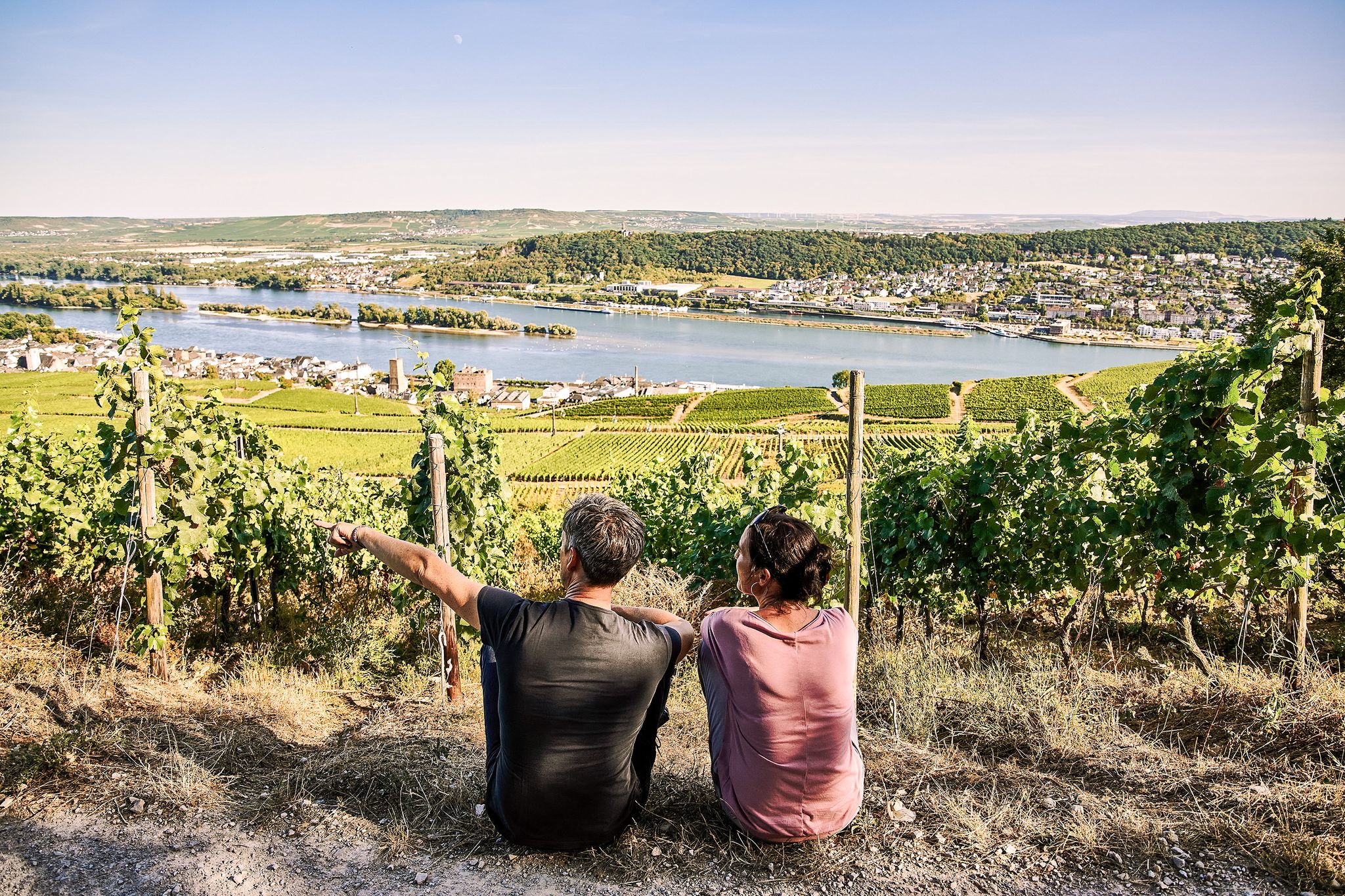
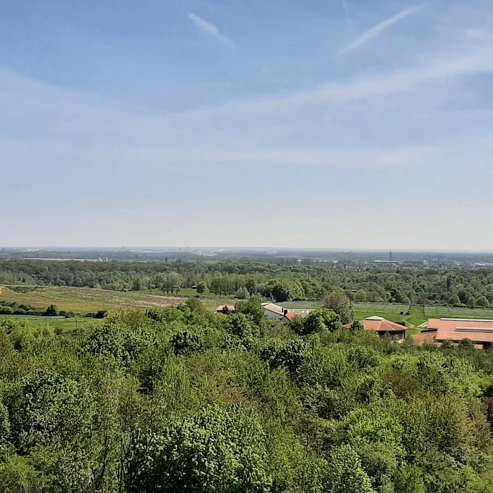
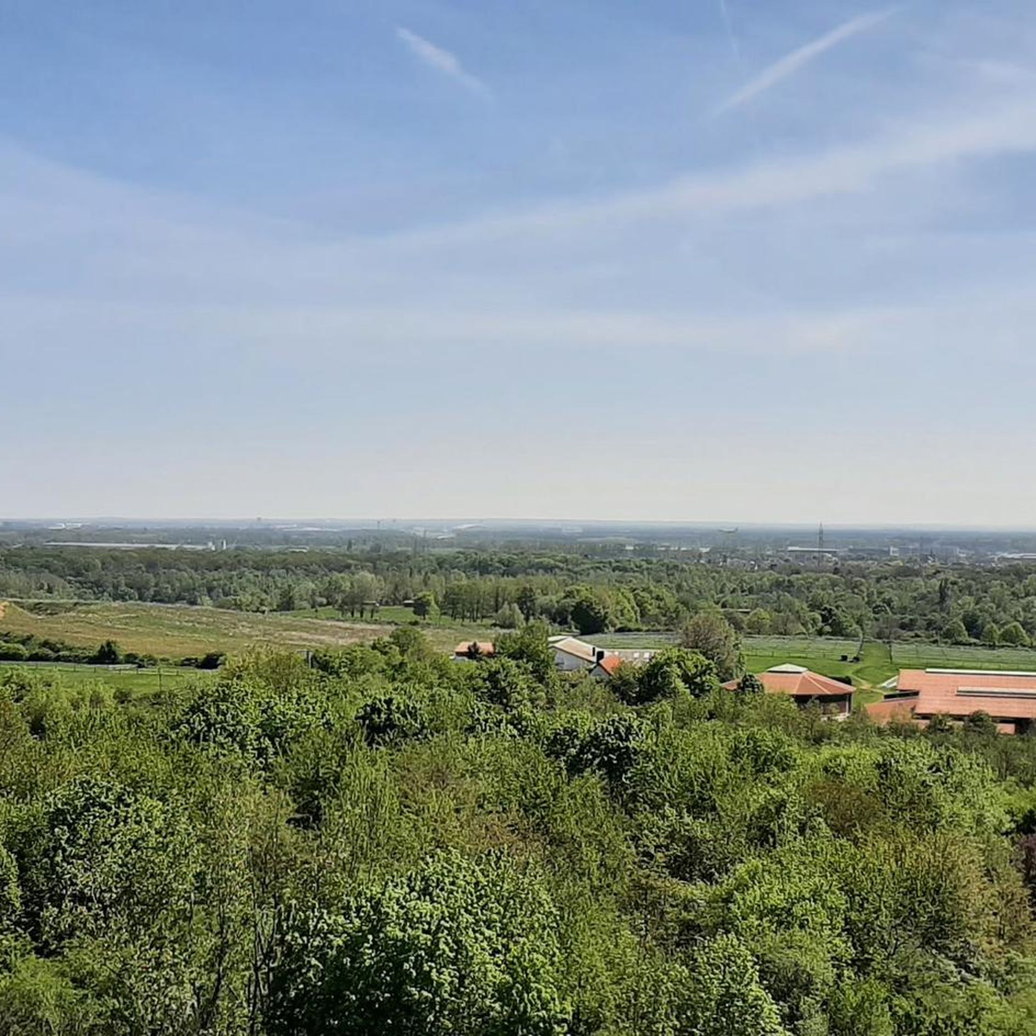
From this position you have a great view of the landscape-defining work of art.
21
2
The sculpture "The Circle" opens to the east, towards the light. Sculptor Thomas Link defines this direction by the axis from the sound stele in the center of the circle to the pair of steles outside. These cast long shadows, with a bright line at their center. The sound stele opposite opens to the wind, transforming the moving air into sound. The panoramic trail is part of the regional park's circular route and connects the Bad Weilbach park with the wine village of Wicker over a distance of almost 1.5 kilometers. On clear days, the view extends as far as the Odenwald forest. In the Middle Ages, the "Kasteler Landwehr," the border and defensive fortification protecting the territory of the Electorate of Mainz, ran along this route. In the summer of 1998, five artists created five large stone sculptures along the panoramic trail. The regional park society invited not only Thomas Link from Issing near Munich, who created the circle of stones from basalt, to this plein air sculpture symposium. Hubert Maier, Gerard Höweler, Georg Hüter, and Ingrid Hornef also used the six-week project period to create charismatic works. The goal of the international open-air artists' workshop was not only to enhance the inspiring surroundings with monumental objects. The public also had the opportunity to engage in conversation with the artists during the creative process. This participation and understanding of the artists' thoughts during the creation of the objects ensured the project's great success. Link, for example, explains: "What the eye sees in the surroundings—the movement of grasses and leaves—is simultaneously experienced by the viewer as a sound that swells and recedes with the breath of the wind." The spheres rest around a central point. They bear semi-circular depressions, whose positions indicate directions in space. "This sphere is dedicated to the earth, to the interplay of darkness and incoming light." Each sphere is part of the whole and yet stands alone. Beyond this, the view extends into the landscape, changing from place to place in a circular pattern. “The stones rest, gathered around the center,” they point to direction and space: “Into this structure, humankind enters and finds its place.” None of the stones, not even those of the other artists, are placed by chance along the path. All reflect the landscape in which and for which they were created. It is about knowledge and feeling, about culture and nature, about noise (including aircraft noise) and silence, about the hustle and bustle of life and about finding peace. [The following appears to be a separate, unrelated sentence fragment:] [The following appears to be a separate, unrelated sentence fragment:] [The following appears to be a separate, unrelated sentence fragment:] [The following appears to be a separate, unrelated sentence fragment:] None of the stones, not even those of the other artists, are placed by chance along the path. All of them reflect the landscape in which and for which they were created. It is about knowledge and feeling, about culture and nature, about noise (including aircraft noise) and silence, about hurried life and about finding peace. [The following appears to be a separate, unrelated sentence fragment:] ...
20
1
Frequently Asked Questions
How many touring cycling routes are available around Flörsheim?
There are over 45 touring cycling routes around Flörsheim, offering a diverse range of experiences. Most of these, about 33, are classified as easy, with 9 moderate and 4 more challenging routes available.
What kind of terrain can I expect on touring cycling routes around Flörsheim?
The routes in Flörsheim am Main are characterized by their picturesque location along the Main River, featuring diverse natural landscapes. You'll encounter rolling hills, forests, fields, and vineyards. Many paths follow the riverbanks, offering relatively flat and scenic rides, while others venture into the surrounding countryside with gentle ascents.
Are there any family-friendly touring cycling routes in Flörsheim?
Yes, many of the easy routes along the Main River are suitable for families. For example, the Riverside Bar at Okriftel Wood – Mainradweg Near Flörsheim loop from Flörsheim(Main) is an easy 11.3-mile path that offers pleasant views and passes through Okriftel Wood, making it a good option for a relaxed family outing.
Can I find circular touring cycling routes in the Flörsheim area?
Absolutely. Many touring cycling routes around Flörsheim are designed as loops, allowing you to start and end your journey in the same location. An example is the Rüsselsheim Fortress – Opelsteg on the Main loop from Flörsheim(Main), which is a 15-mile circular route following the Main River.
What are some scenic viewpoints or natural features to look out for on the routes?
Flörsheim offers several scenic highlights. The Main River itself provides a beautiful backdrop for many routes. You can also enjoy views of magnificent vineyards, especially near the Schwarzpark. For expansive vistas, consider routes that pass near Großer Mannstein (Staufenschwur Lookout), which offers views of the Frankfurt skyline and, on clear days, even the Odenwald. The Main estuary is another notable natural feature.
What is the best time of year to go touring cycling in Flörsheim?
The best seasons for exploring Flörsheim's outdoors are spring and autumn. In spring, you'll witness blossoming fruit trees and vibrant meadows, while autumn brings colorful foliage to the landscape. The weather during these seasons is generally mild and pleasant for cycling.
Are there any routes that connect to other regions or long-distance paths?
Yes, Flörsheim is well-integrated into a larger cycling network. The popular Main Cycle Path runs directly through Flörsheim, connecting to regions like Beer- and Wine-Franconia. Additionally, the Saar-Mosel-Main long-distance cycle path (D-Route 5) passes through the town, offering connections for longer journeys. The confluence of the Nidda near Frankfurt-Höchst, close to Flörsheim, also marks the start or end of the idyllic Nidda cycle path.
What do other touring cyclists say about the routes in Flörsheim?
The touring cycling routes in Flörsheim are highly regarded by the komoot community, with an average rating of 4.4 stars from over 200 reviews. Cyclists often praise the well-maintained paths along the Main River, the diverse scenery including vineyards and forests, and the overall accessibility of the routes for various skill levels.
Are there any routes that offer a mix of riverside and countryside views?
Many routes in Flörsheim offer this combination. For instance, the Odenwald Hut – Wooden bridge by the reeds loop from Flörsheim(Main) is a moderate 20.6-mile trail that leads through riverside areas and near the Odenwald Hut, providing a varied landscape experience.
Can I easily access these routes using public transport or find parking?
Flörsheim is generally well-connected. While specific parking details for each route are best checked locally, the town's location along the Main River and its integration into regional transport networks suggest good accessibility. Many routes start directly from Flörsheim, making it convenient for both local and visiting cyclists.
Are there any routes that pass through vineyards?
Yes, Flörsheim is known for its vineyards, particularly visible in front of the town park "Schwarzpark." The local area, sometimes referred to as "Flörsheimer Switzerland," features a "Riesling Loop" cycling route that specifically takes you through these picturesque vineyard landscapes.
What is the longest touring cycling route available directly from Flörsheim?
Among the highlighted routes, the Odenwald Hut – Wooden bridge by the reeds loop from Flörsheim(Main) is one of the longer options, covering 20.6 miles (33.2 km) and typically taking about 2 hours 2 minutes to complete.
Most popular routes around Flörsheim
Most popular attractions around Flörsheim

Get inspired with the komoot mobile app


Explore more
Browse the best Cycling routes in other regions.
